©Visit Luxembourg
Müllerthal Germany France

Local hiking trail - M1

Hunting Season 2025/26 — Check for hunts

Autumn is here, and that means hunting season has begun! From mid-October to January/February, hunters are active across the country. Stay safe by checking hunt dates in your area on our Map. 

Click on Map in the Header > Services > More > Hunting.

Starting point

Born: 2, Schlassstroos

Destination

Born: 2, Schlassstroos

Distance
8,22 km
Duration
2:25 h
Difficulty
medium
  • Condition
Highest point
351 Hm
Lowest point
146 Hm
Aggregated Ascent
273 Hm
Aggregated Descent
272 Hm
Circular routes Visit Luxembourg

Description

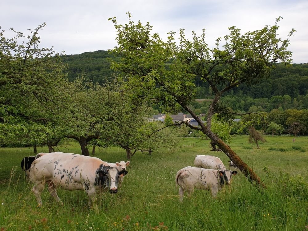
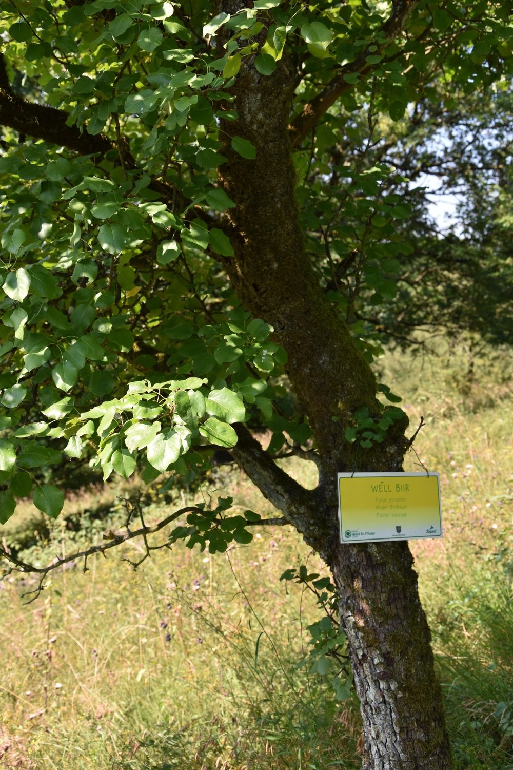
Varied hike through typical landscapes with orchard meadows, called "Bongerten" in Luxembourg, and traditional dry stone walls.

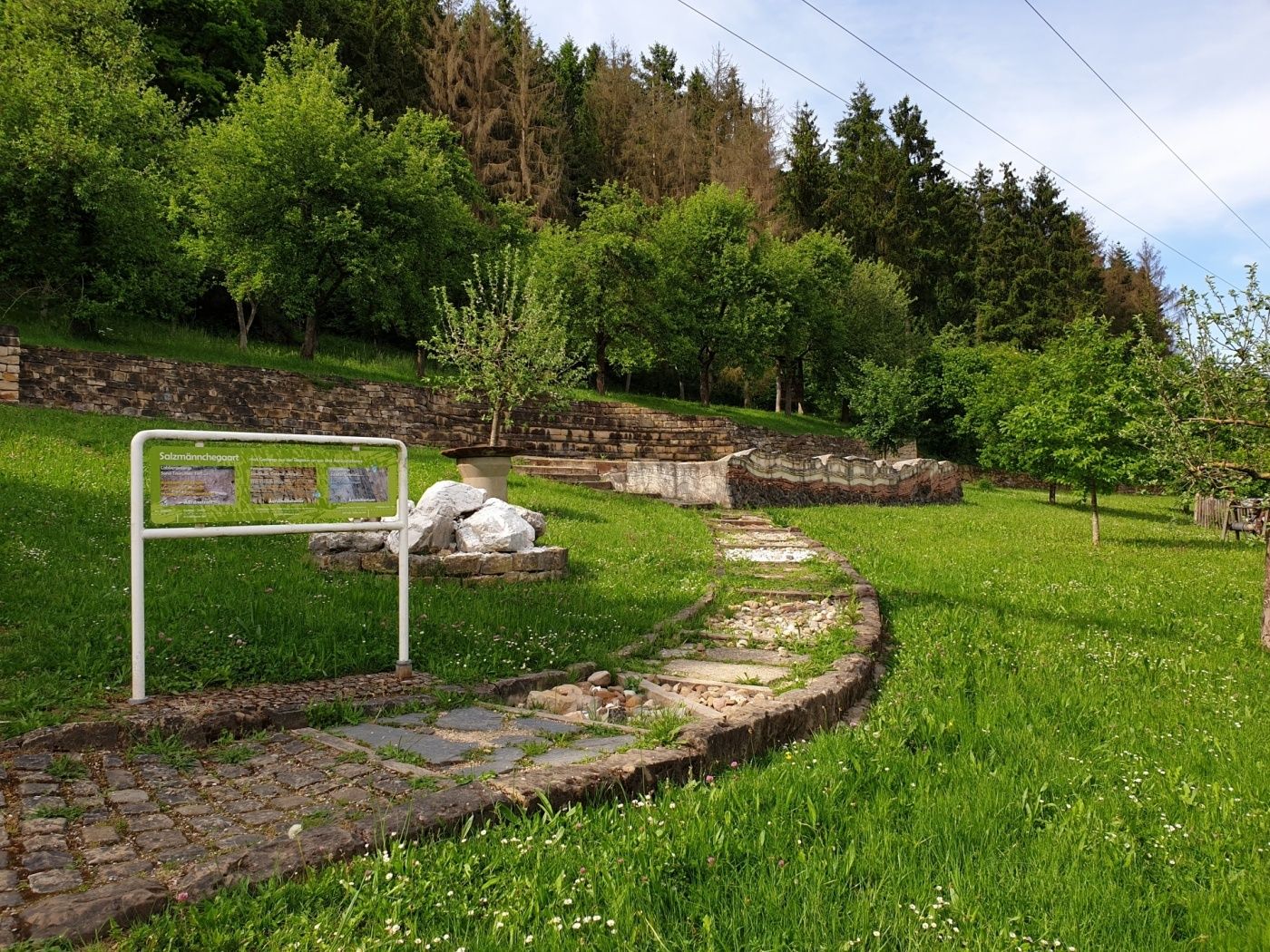
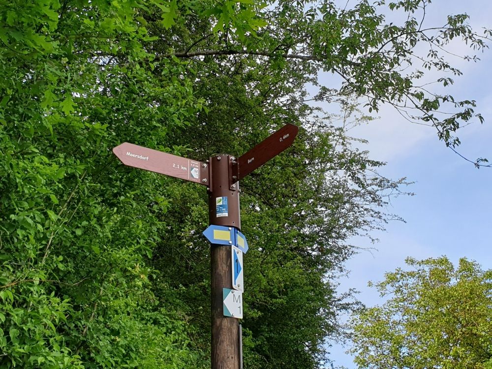
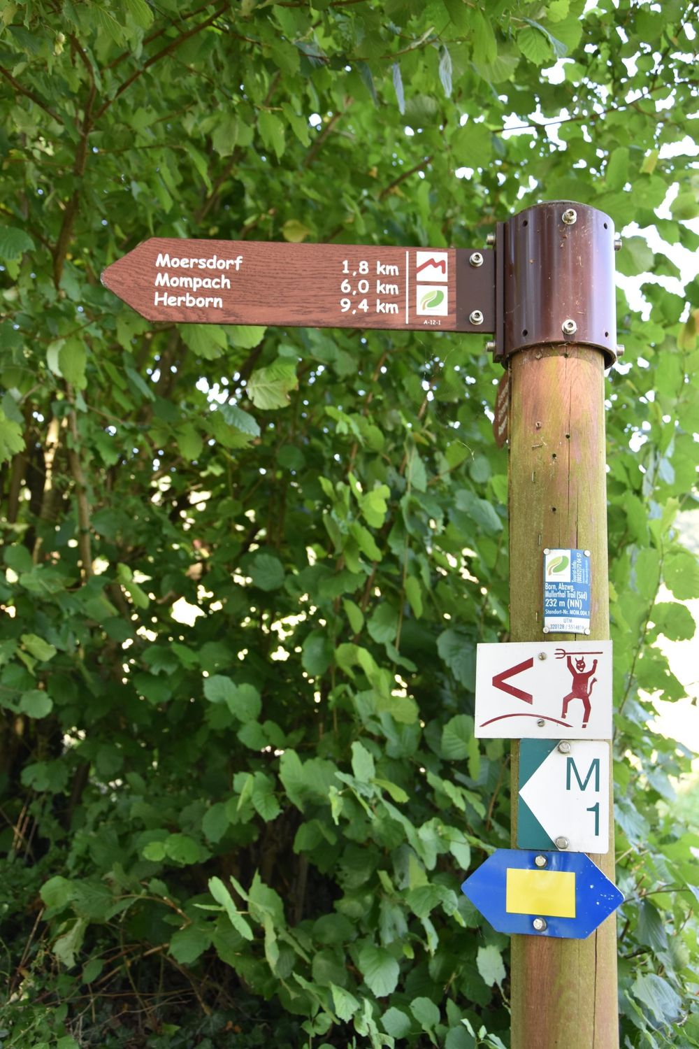
The starting point of the hiking trail is located behind the school and sports complex near the village of Born an der Sauer. At the starting point of the path is the "Salzmännchegaart" with a geological barefoot path.

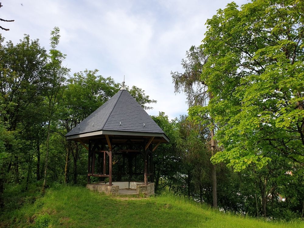
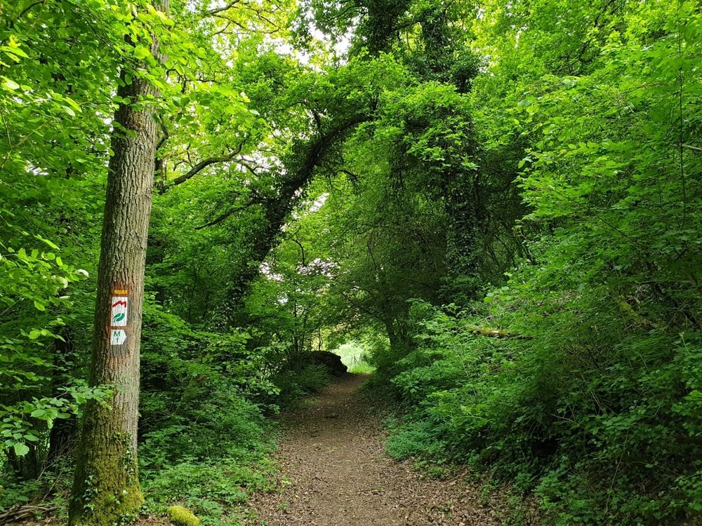
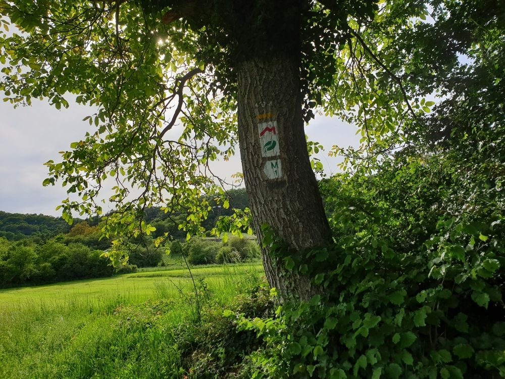
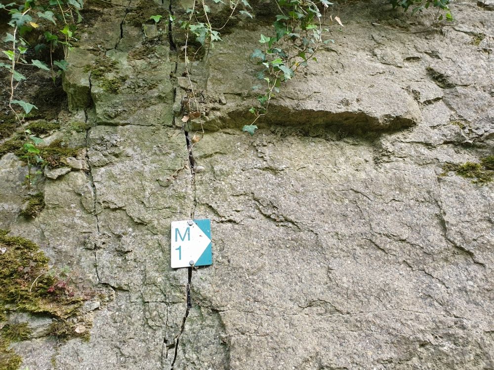
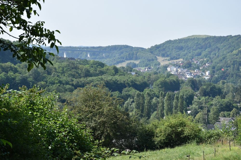
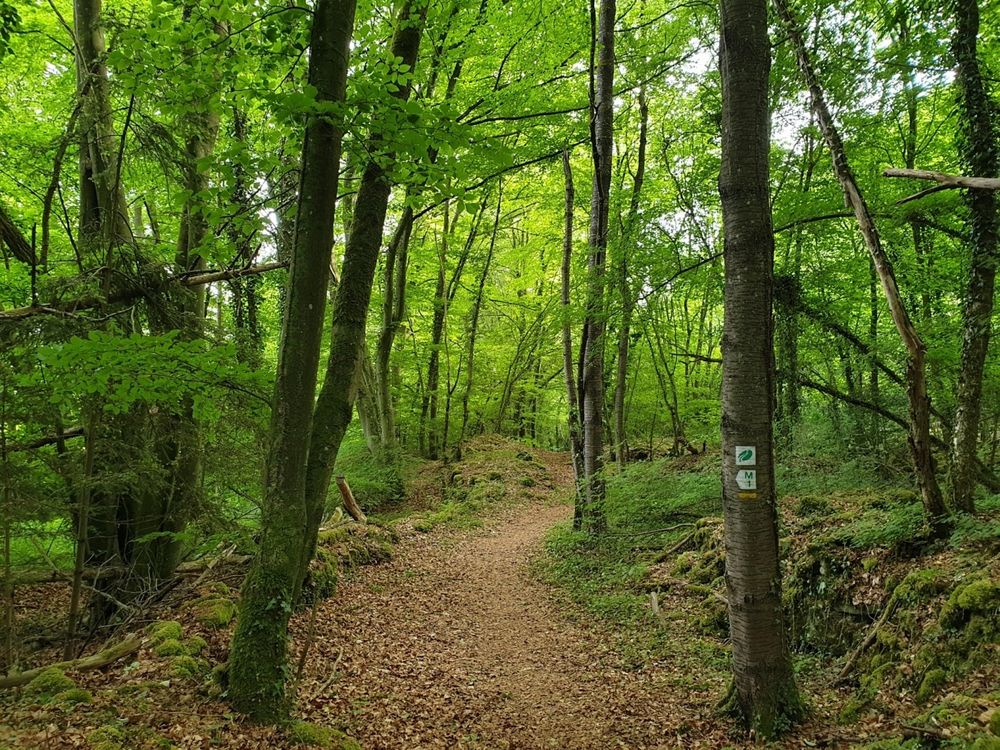
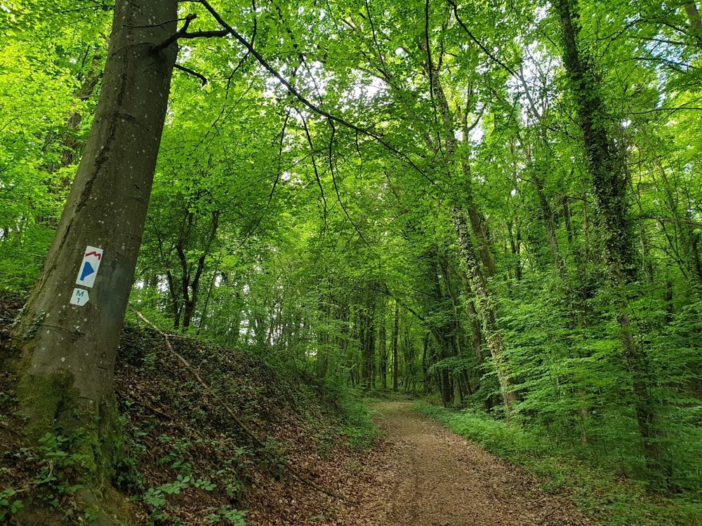
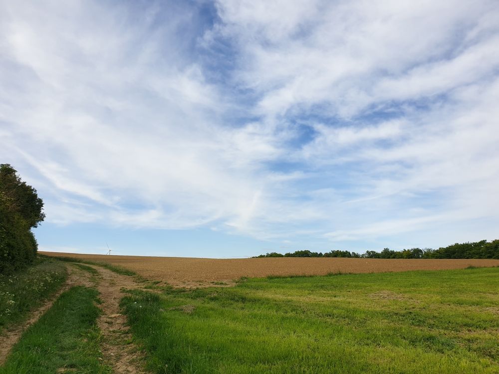
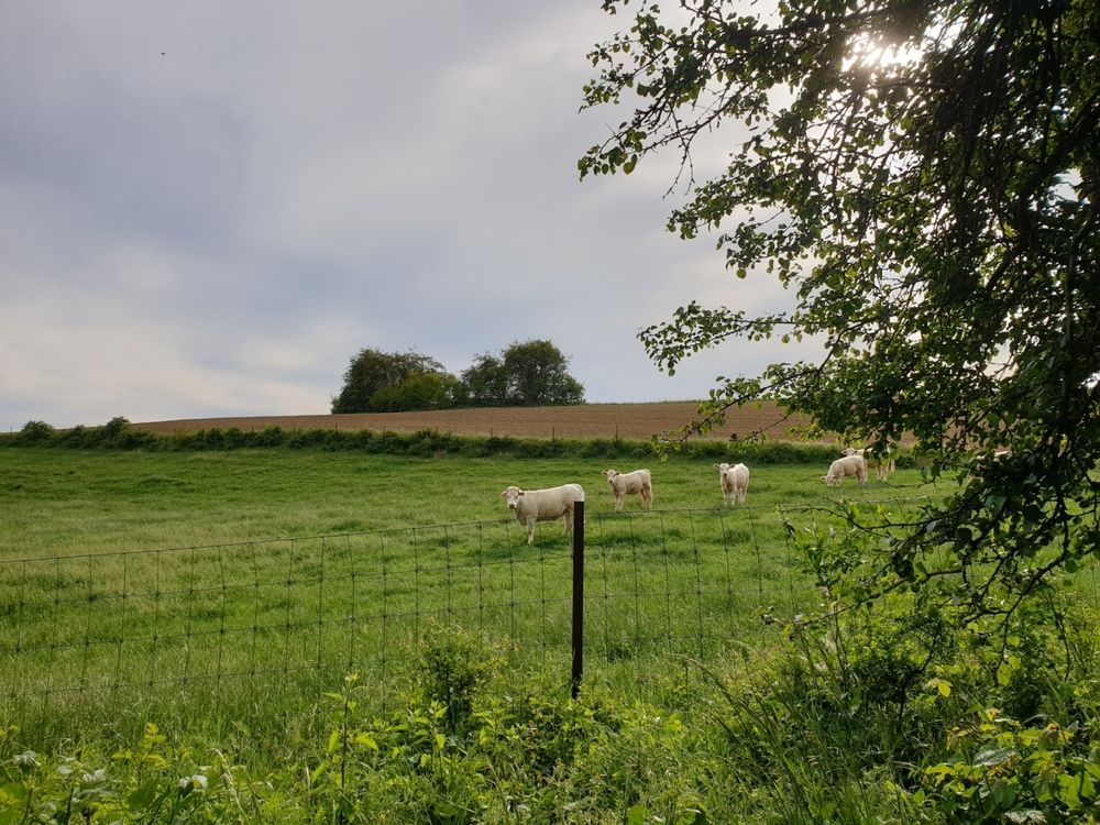
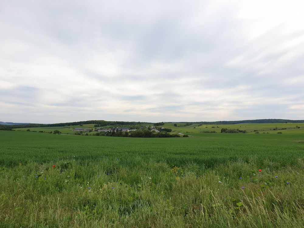
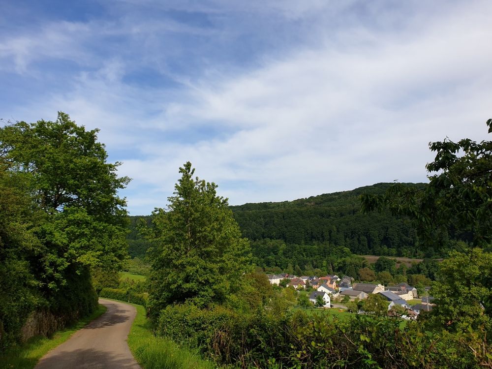
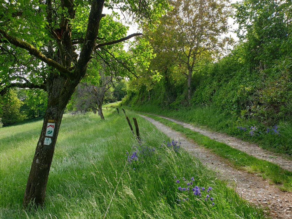
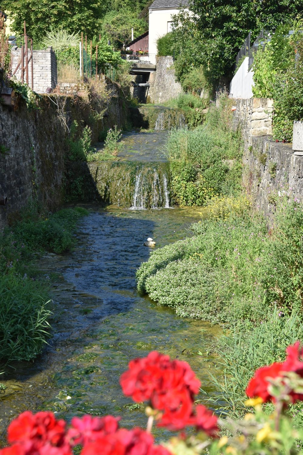
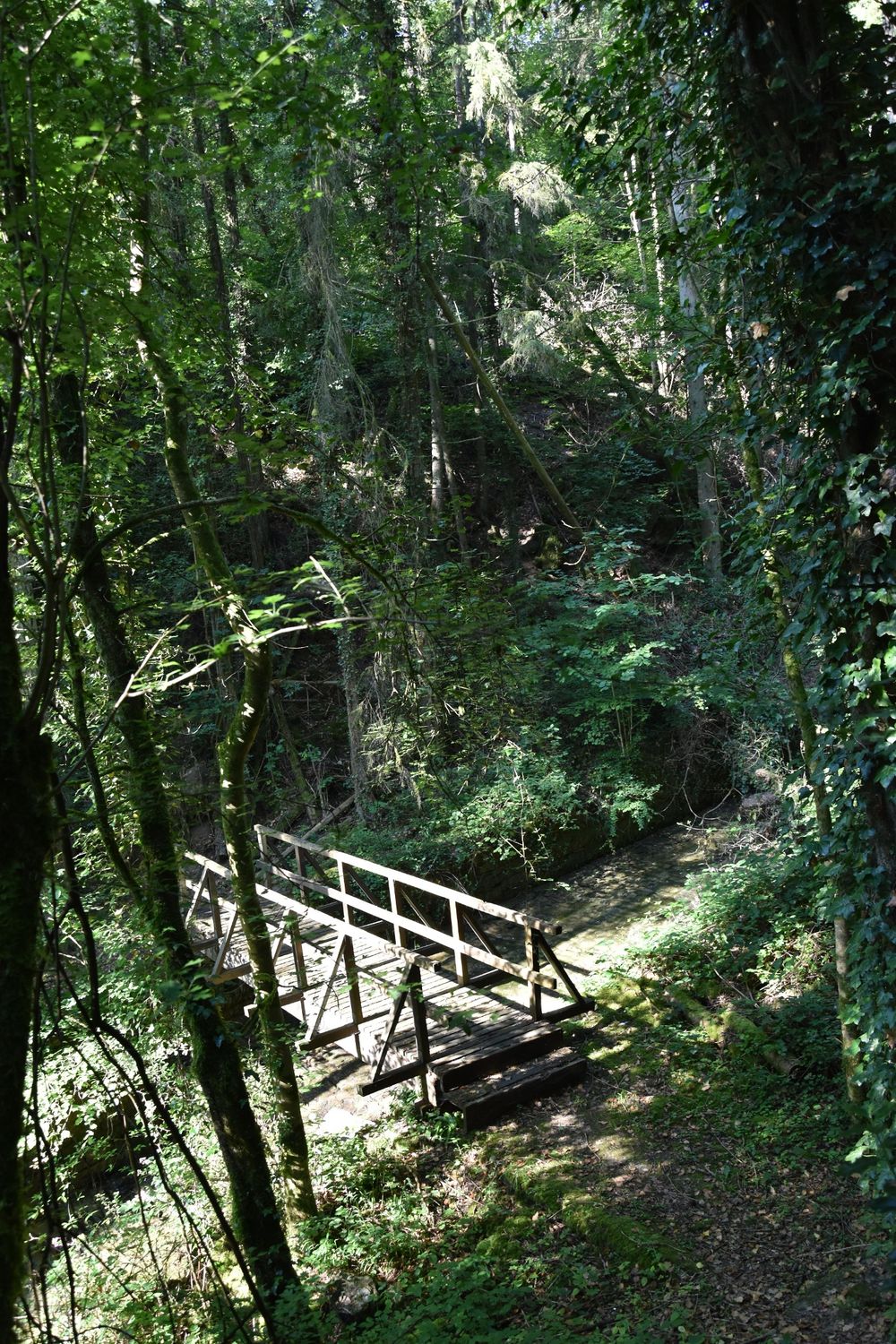
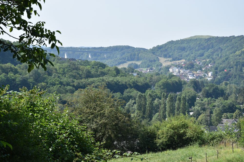
After an ascent to the Wangertsbierg, you will be rewarded with beautiful views of Born and the Sauer valley. After a landscape lined with fruit Bongerten and dry stone walls, the path leads into a forest area. Here it passes rocks and then dry grassland above Moersdorf. There is also an orchid educational trail. On the Burer Bierg plateau there is a seating area where you can enjoy the beautiful views of the surrounding area. Afterwards, it goes back down to Born.

Suggestions nearby

Local hiking trail - M1

  • ©Ramborn Cider Co
    30%
    with theLuxembourgPass
    Ramborn Cider Co.
    Ramborn Cider Haff: Traditional cider and juices
    Find out more

Similar hiking tours

©Visit Luxembourg
Thematic paths
Circular hiking trail through the Deiwelskopp nature reserve
Distance: 8,50 km
Duration: 2:27 h
Difficulty: medium
Find out more
©Visit Luxembourg
Circular routes
Local hiking route - F2
Distance: 8,21 km
Duration: 2:30 h
Difficulty: medium
Find out more
©Tom Barnich, Visit Berdorf
Circular routes
Local hiking trail - B17
Distance: 6,14 km
Duration: 1:40 h
Difficulty: medium
Find out more
©Visit Luxembourg
Thematic paths
Didactic nature path "Joffer Margot"
Distance: 6,88 km
Duration: 2:00 h
Difficulty: medium
Find out more
©Visit Luxembourg
Circular routes
Local hiking route - B12
Distance: 3,25 km
Duration: 0:55 h
Difficulty: medium
Find out more
©Visit Luxembourg
Circular routes
Local route - B10
Distance: 4,99 km
Duration: 1:20 h
Difficulty: medium
Find out more
©Visit Luxembourg
Thematic paths
Memorial Route
Distance: 20,46 km
Duration: 5:40 h
Difficulty: medium
Find out more
©L. Schömer, Visit Luxembourg
Circular routes
Auto-pédestre trail Bollendorf-Pont
Distance: 8,67 km
Duration: 2:40 h
Difficulty: medium
Find out more
©Visit Luxembourg
Circular routes
Auto-Pédestre hiking route Echternach Centre
Distance: 6,71 km
Duration: 2:00 h
Difficulty: medium
Find out more
outdooractive This website uses technology and content from the Outdooractive Platform.