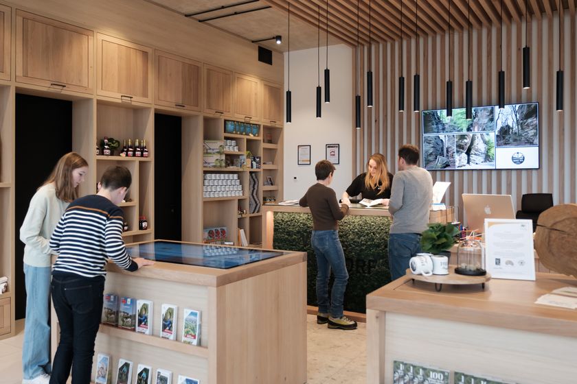
Thematic paths Visit Luxembourg
Description
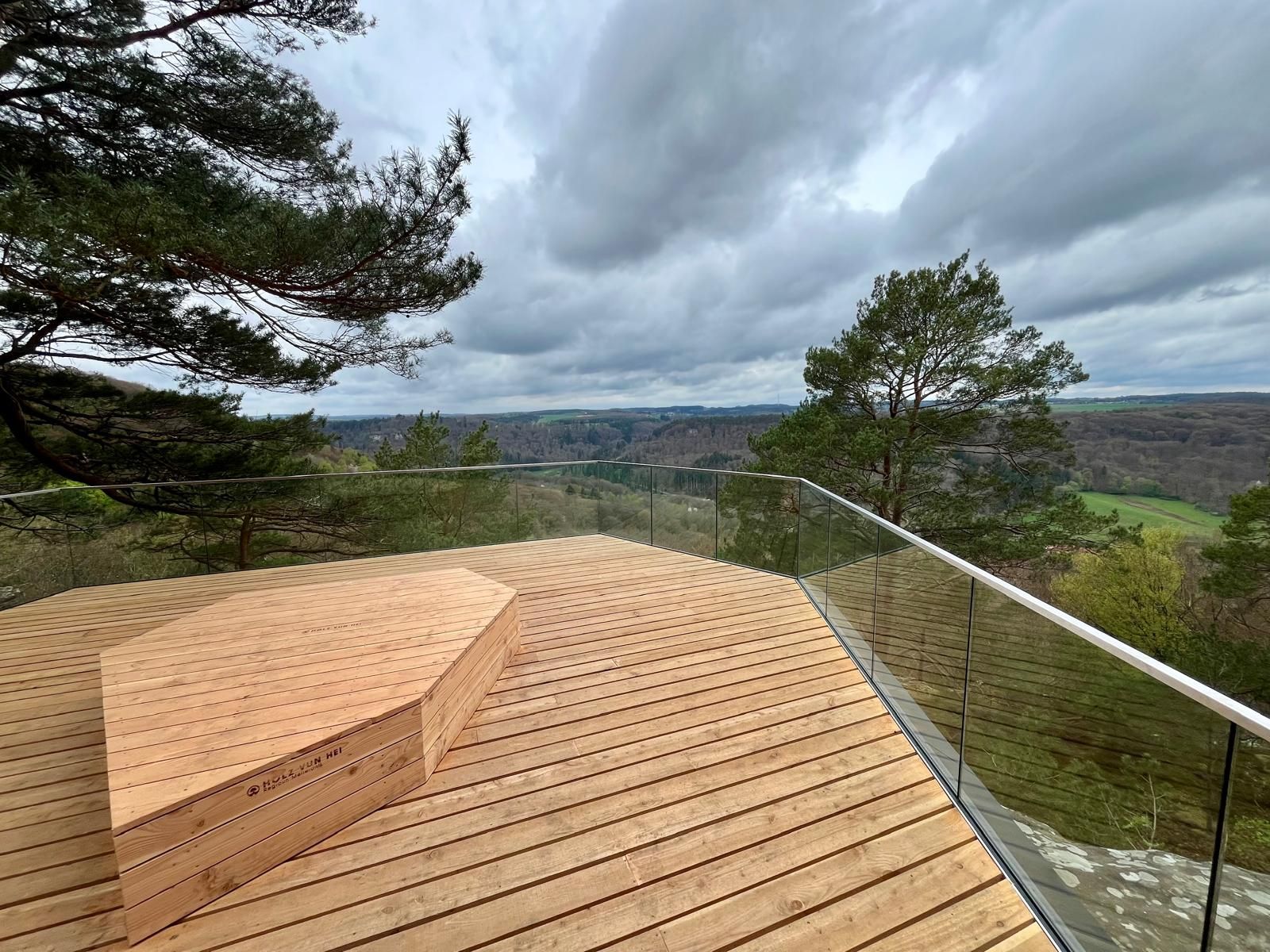
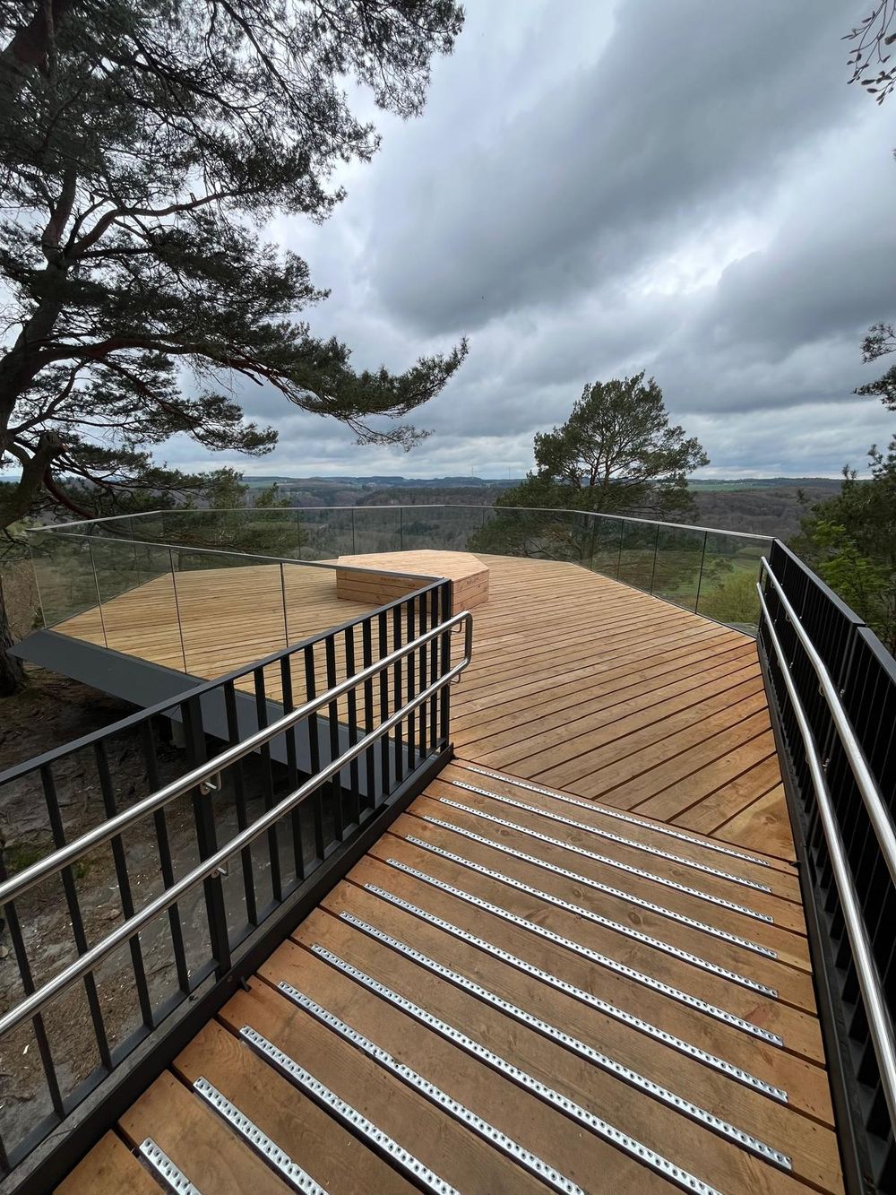
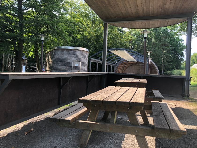
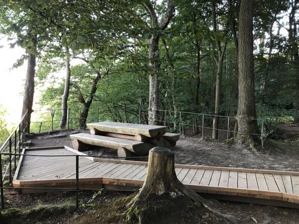
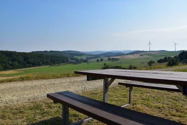
Barrier-free path to beautiful viewpoint
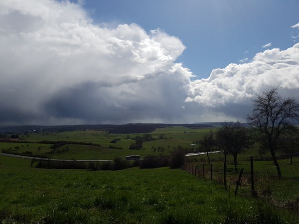
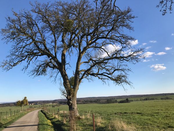
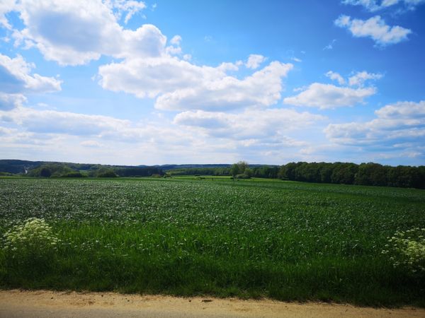
From the Martbusch Tourist Info, a paved path of about 1 km leads to the Ruetsbech viewpoint, where you can overlook part of the picturesque valley of the Schwarze Ernz and even see the opposite Beaufort. At the viewpoint, there is a barrier-free platform with nice seating. The same way leads back to the starting point at the Tourist Info.
Journey
Public transport:
Parking:
Nearest bus stop: Berdorf, Duerfplatz (800m)
Parking:
Free parking spaces are available at the starting point.


 This website uses technology and content from the Outdooractive Platform.