©Visit Luxembourg
Müllerthal Germany France

Local hiking route - B3

Hunting Season 2025/26 — Check for hunts

Autumn is here, and that means hunting season has begun! From mid-October to January/February, hunters are active across the country. Stay safe by checking hunt dates in your area on our Map. 

Click on Map in the Header > Services > More > Hunting.

Starting point

Bech: Church

Destination

Bech: Church

Distance
3,77 km
Duration
1:02 h
Difficulty
easy
  • Condition
Highest point
380 Hm
Lowest point
292 Hm
Aggregated Ascent
95 Hm
Aggregated Descent
95 Hm
Circular routes

Description

Scenic Refreshment stops available

Dear hikers, the local hiking route B3 has been redirected, please follow the signage on site. 

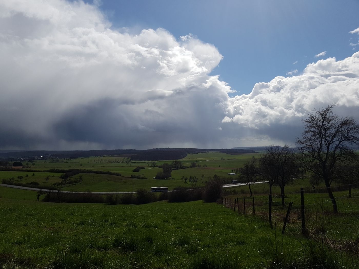
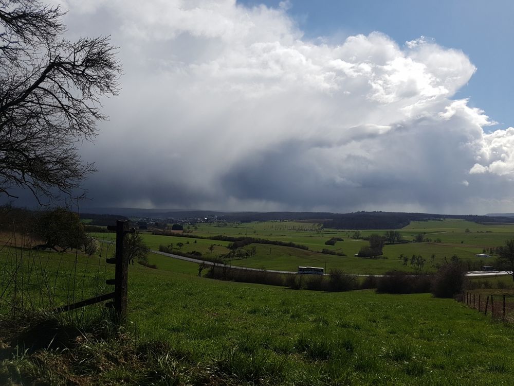
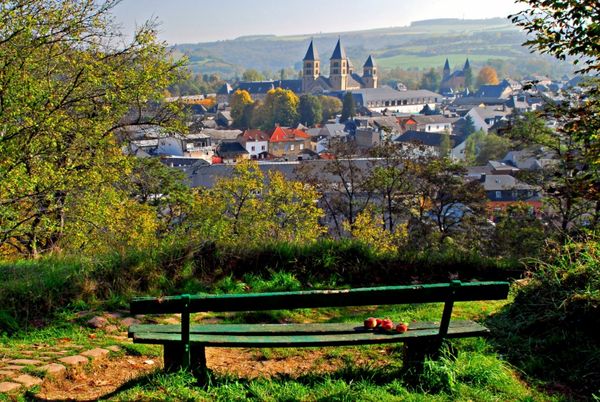
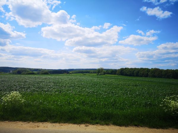
Carefree hike through the green with a wonderful view from Hirzberg

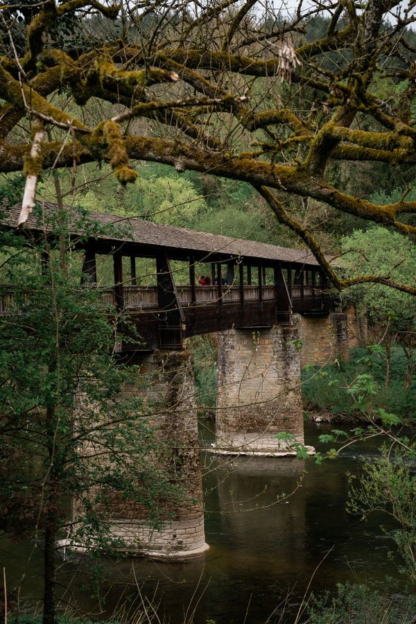
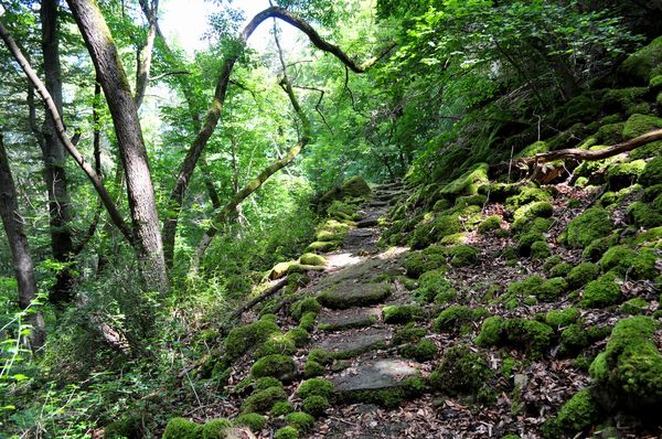
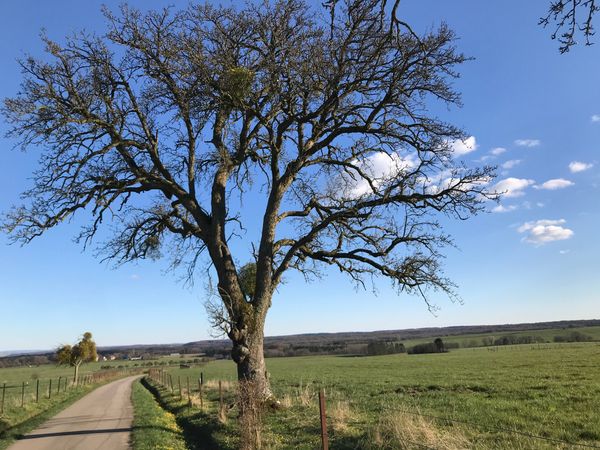
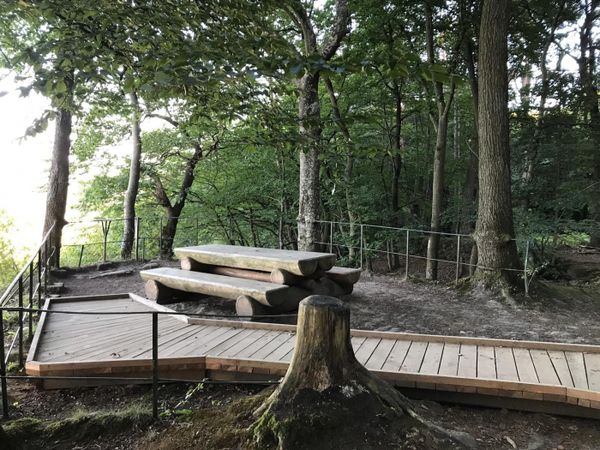
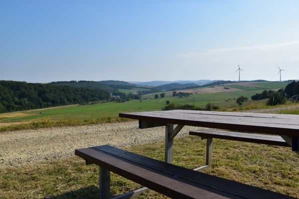
This hiking route offers beautiful views from Hirzbierg. It starts in the center of the village of Bech and initially passes the cultural center and then along the edge of the forest below Hirzbierg. Across meadows and fields, it gently climbs the hill and descends again to the starting point through the Hirzbësch forest on a somewhat steeper forest path.
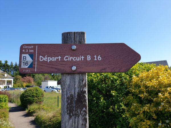
Suggestions nearby

Local hiking route - B3

  • ©Restaurant Steinmetz
    Restaurant Steinmetz
    Restaurant Steinmetz
    Find out more

Similar hiking tours

©Visit Luxembourg
Thematic paths
Nature trail "Joffer Margot"
Distance: 6,88 km
Duration: 2:00 h
Difficulty: easy
Find out more
©Visit Luxembourg
Circular routes
Local hiking trail - F1
Distance: 5,26 km
Duration: 1:35 h
Difficulty: easy
Find out more
©Visit Luxembourg
Thematic paths
Well-Being Trail - Nommern
Distance: 4,35 km
Duration: 1:22 h
Difficulty: easy
Find out more
©Visit Luxembourg
Circular routes
Local hiking trail - F3
Distance: 2,69 km
Duration: 0:50 h
Difficulty: easy
Find out more
©Visit Luxembourg
Thematic paths
Honeybee educational trail between Waldbillig and Christnach
Distance: 4,00 km
Duration: 1:30 h
Difficulty: easy
Find out more
©(c) NGPM Elisabeth Medinger, (c) NGPM Elisabeth Medinger
Thematic paths
Geo-Pad Hëlt
Distance: 4,23 km
Duration: 1:30 h
Difficulty: easy
Find out more
©Jeniska photography, Visit Luxembourg
Echternach Lake comfort hiking trail
Distance: 3,25 km
Duration: 1:15 h
Difficulty: easy
Find out more
©Visit Luxembourg
Circular routes
Local hiking route - W1
Distance: 6,81 km
Duration: 1:47 h
Difficulty: easy
Find out more
©Visit Luxembourg
Thematic paths
Rosport cultural route “In the footsteps of the Tudors"
Distance: 2,35 km
Duration: 1:00 h
Difficulty: easy
Find out more
outdooractive This website uses technology and content from the Outdooractive Platform.