Description
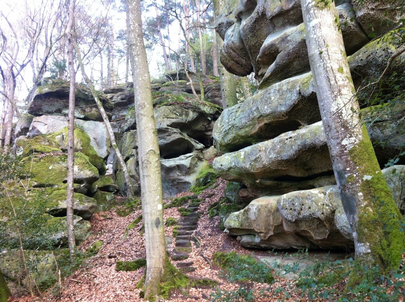
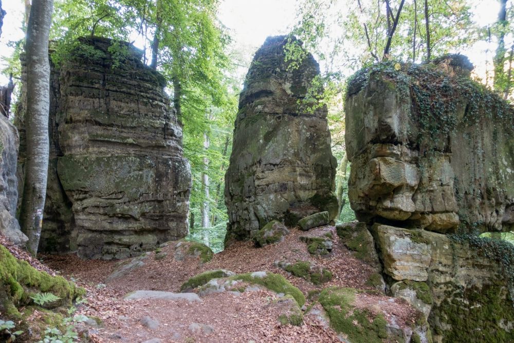
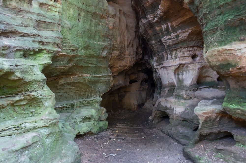
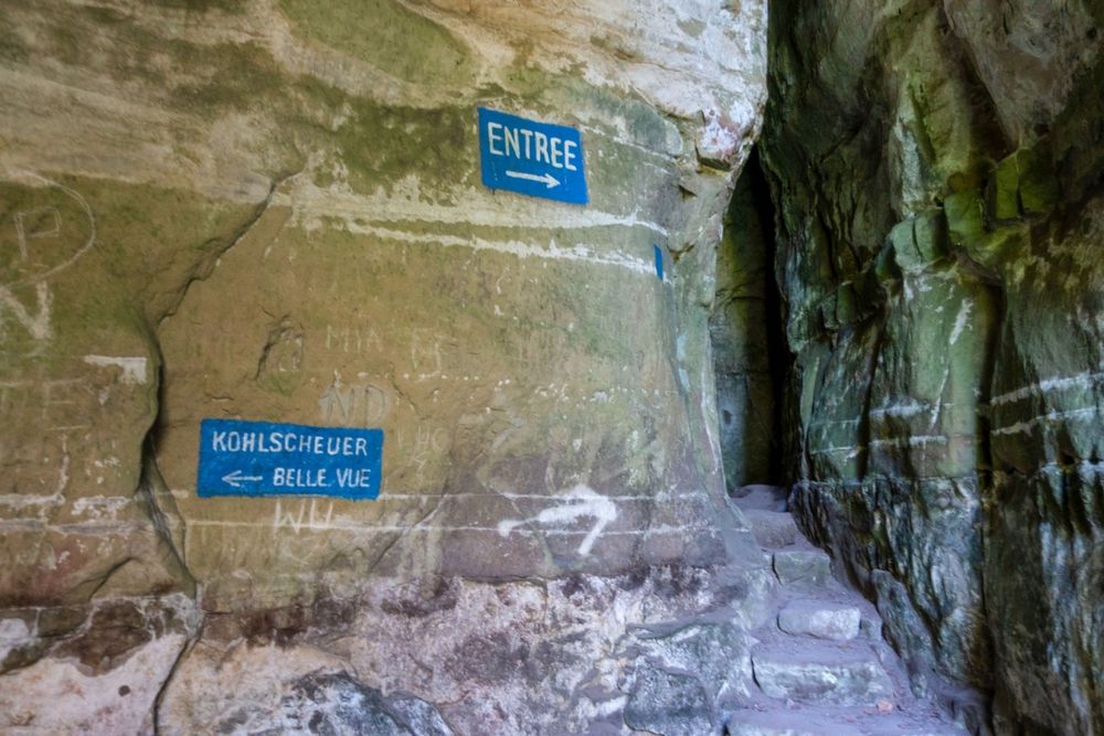
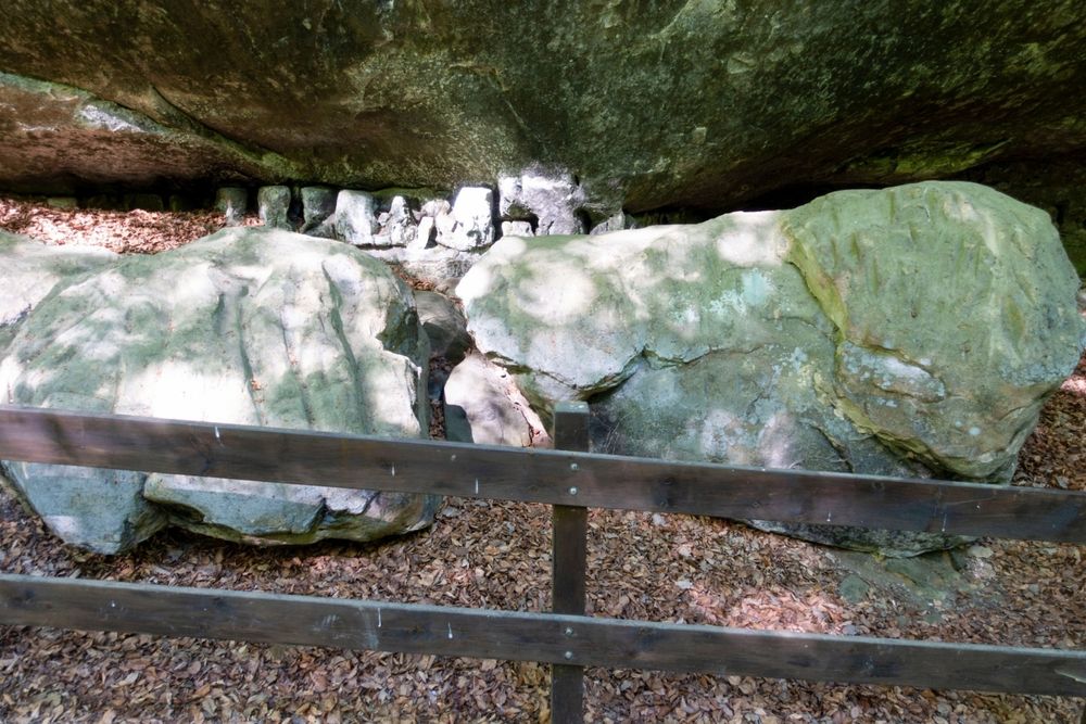
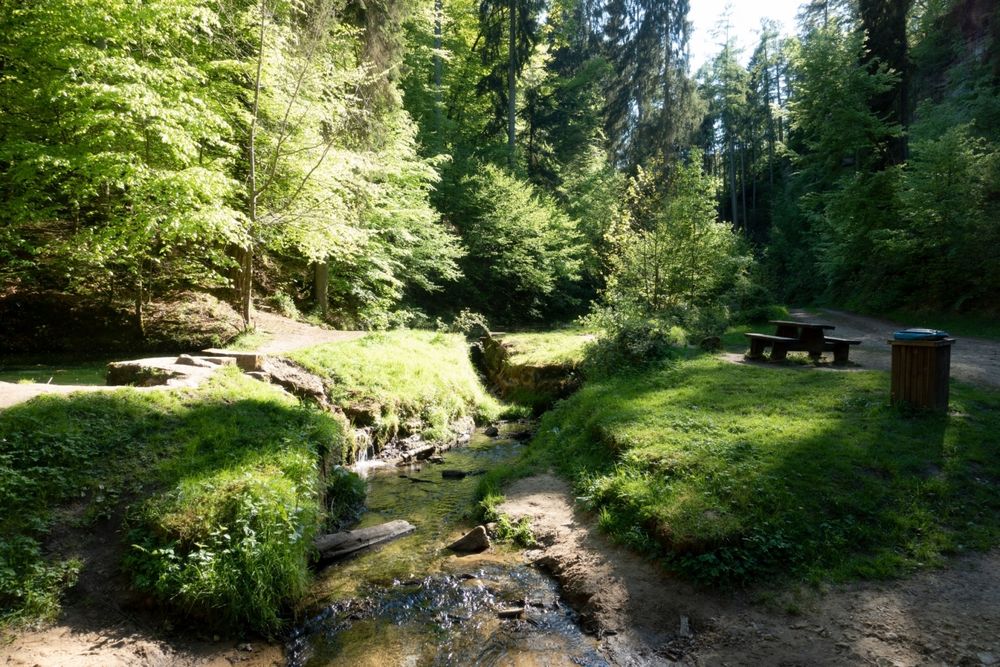
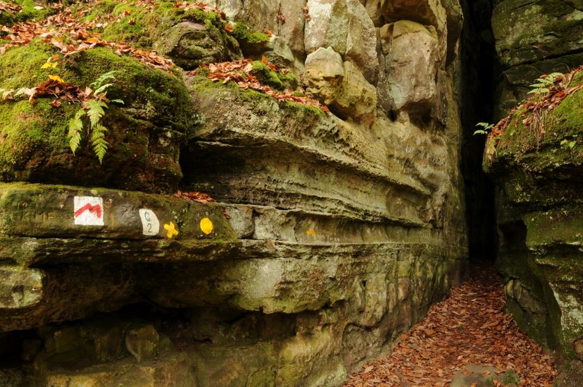
This path leads for long stretches through the rock landscape of Consdorf. Nevertheless, the route also offers scenic variety. After the first section through the forest, you reach the "Méchelskirch", a cave where a hermit lived in the 18th century. After about 4.7 km, there is an adventurous detour to the Kuelscheier – an approximately 100 m long, pitch-dark rock crevice that you can walk through. It is advisable to bring a flashlight here.
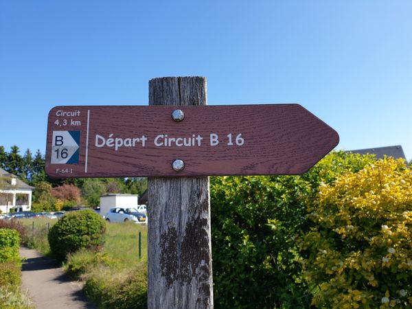
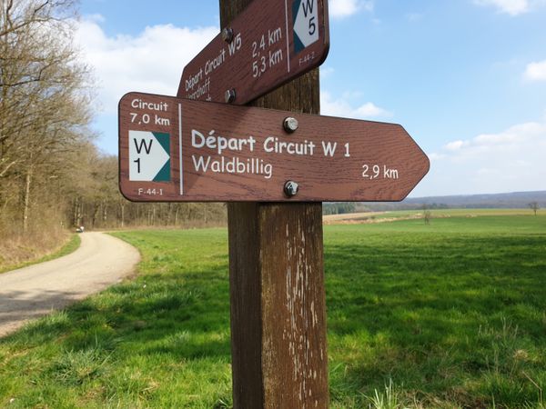
Signposting

Directions
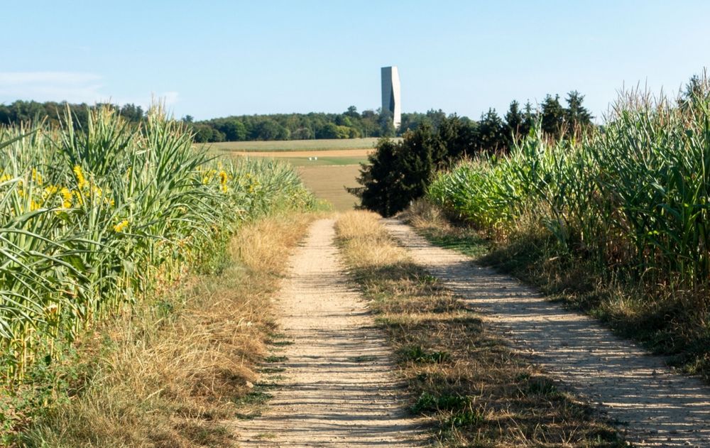
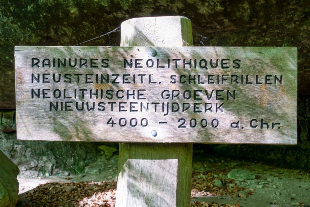
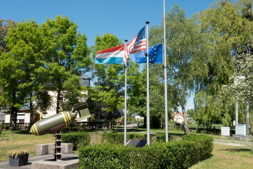
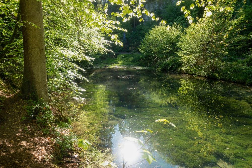
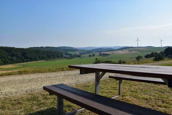
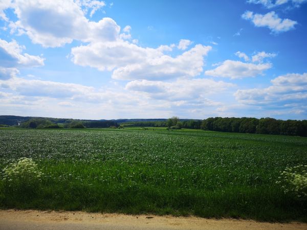
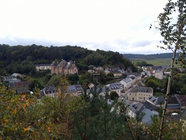
At the starting point of this circular hike, a defused aerial bomb excavated at the edge of the village recalls the horrors of the Second World War. Initially, the path leads along an asphalt road into the romantic Dielchen (little valley) and then continues along a narrow trail past the former hermitage Méchelskierch and further into the open fields around the hamlet of Wuelper. Soon the plateau of Muerbësch is reached, a woodland area with several ponds particularly vital for amphibian survival, which sometimes dry out in summer. After another stretch across open fields, the skyline of the hamlet Altrier with its distinctive water tower appears on the southern horizon. Now, the hiking path runs alongside the Steebaach, past prehistoric rock carvings, down into the valley of the Härdbaach. After crossing the small brook, there is an ascent into a rugged rock face with numerous bizarre weathering formations. After the recommended visit to the entire Adventure-Kuelscheier area, the ascending path leads out of the valley back up into the village and to the starting point.
Equipment
Sturdy footwear
Journey
Nearest bus stop: Consdorf, Gare
Getting there:
From Echternach via E29, CR118, CR137.
Parking:
There is a parking lot directly at the starting point.


 This website uses technology and content from the Outdooractive Platform.