©Visit Luxembourg
Müllerthal Germany France

Auto-pédestre wandelroute Scheidgen

Vertrekpunt

Scheidgen: Kerk

Bestemming

Scheidgen: Kerk

Route
7,49 km
Duur
2:02 h
moeilijkheid
makkelijk
  • Voorwaarde
Hoogste punt
357 Hm
Laagste punt
267 Hm
Beklimming
143 Hm
Herkomst
143 Hm
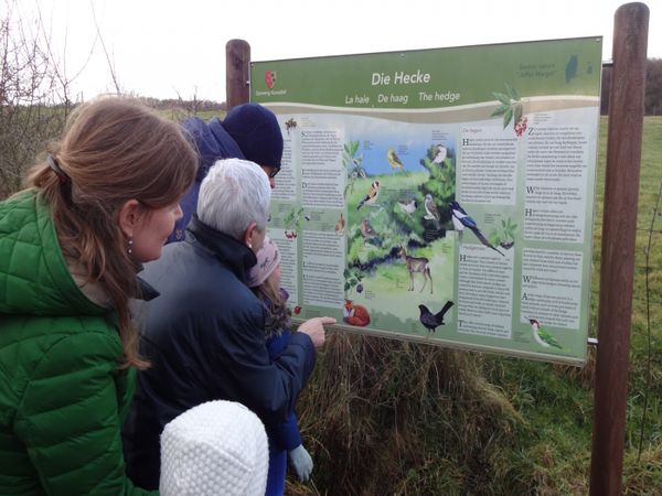
Rondwandelroutes Visit Luxembourg

Beschrijving

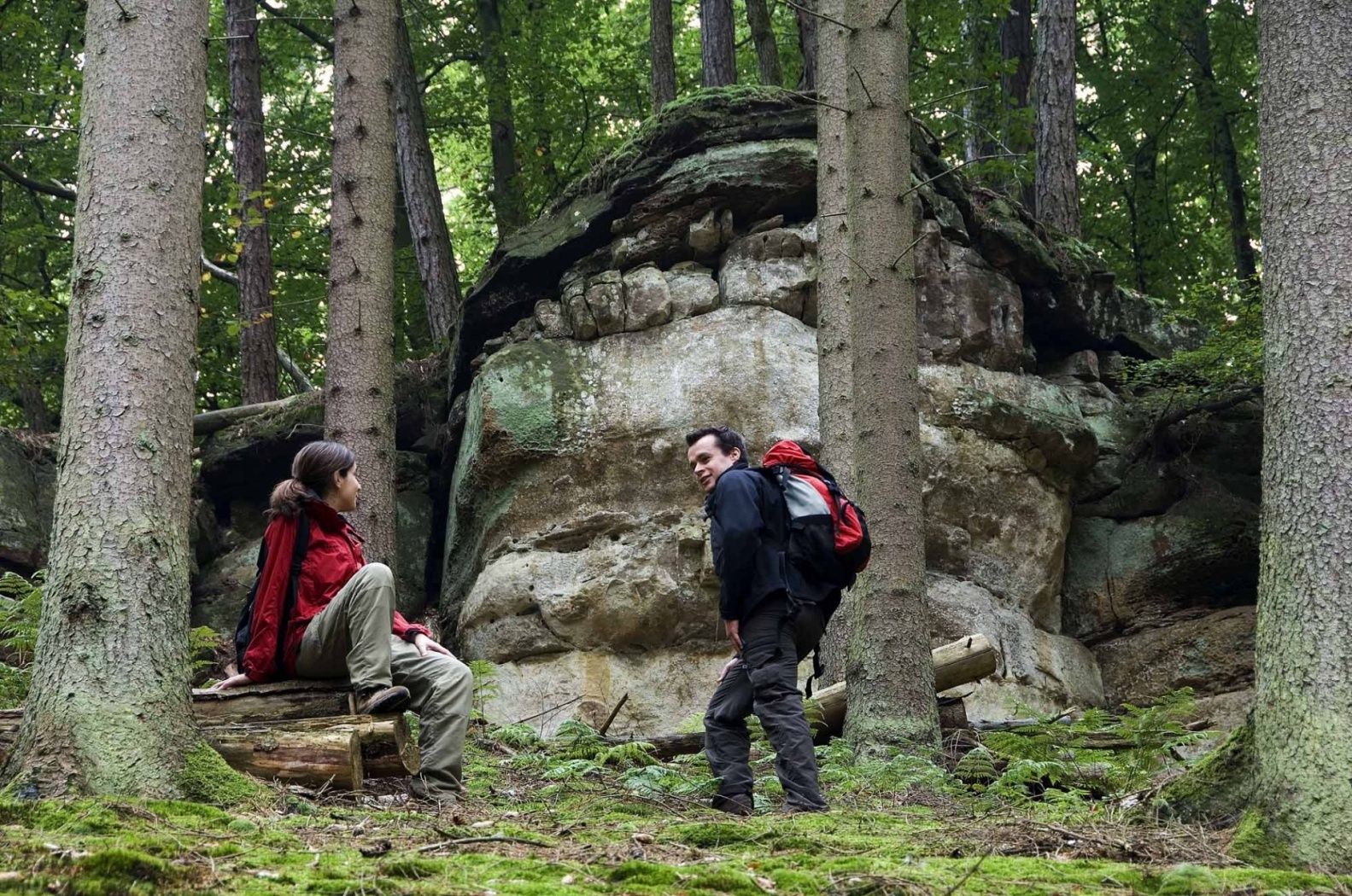
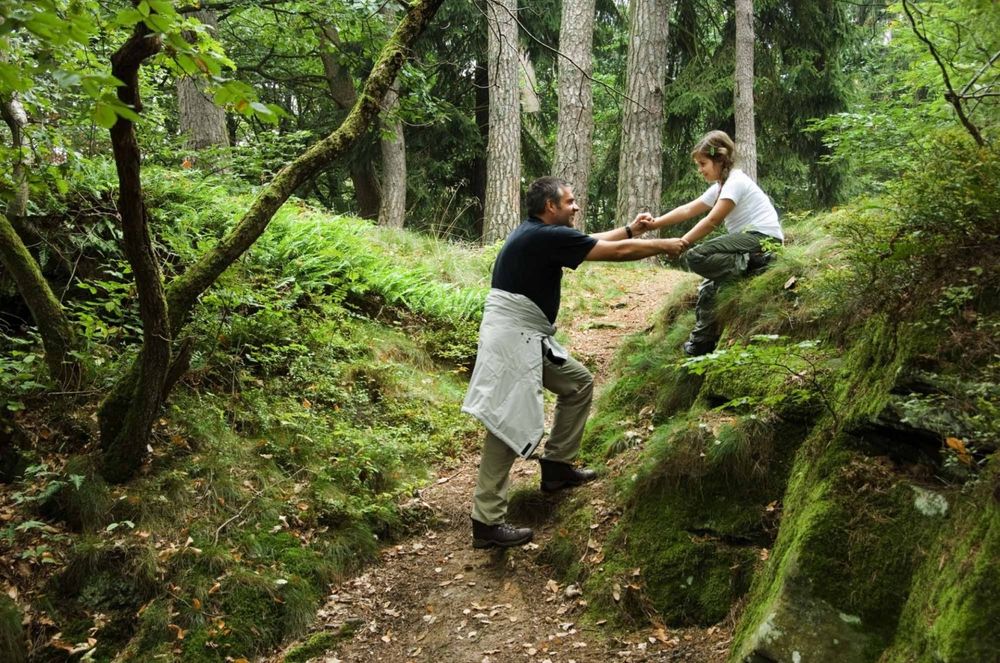
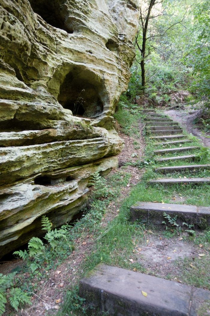
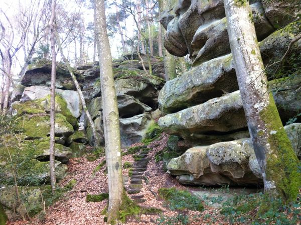
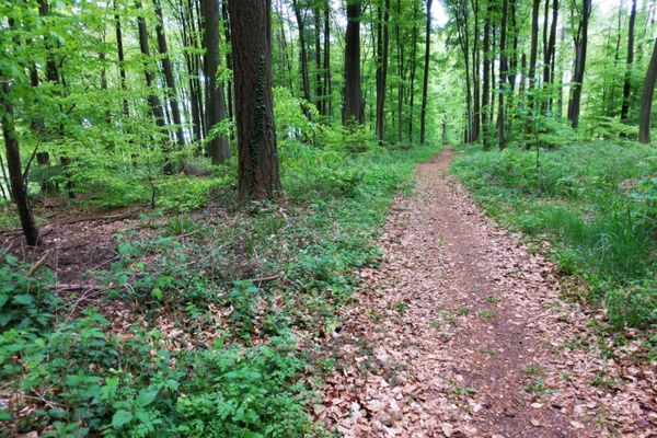
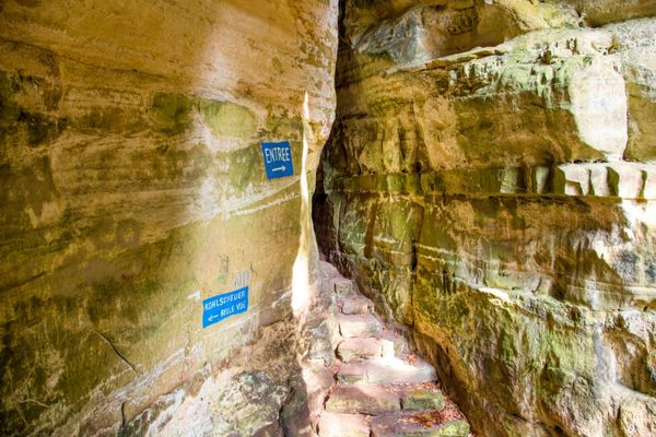
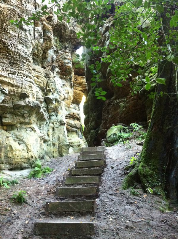
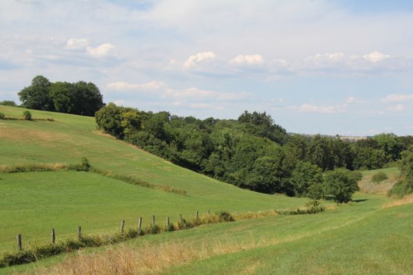
Een iets uitdagender wandelpad door het rotsachtige landschap van de regio Mullerthal - met veel trappen.

Nadat de Ponteschgronn is overgestoken, leidt dit pad je langs de Holschent naar de Kaachelskapp. Voordat hij het startpunt bereikt, volgt hij een fietspad langs de Deisterbach naar Geitzebierg.


Hoogtepunten langs de tocht

Auto-pédestre wandelroute Scheidgen

  • ©Restaurant Grill Bon Repos
    Restaurant Grill Bon Repos
    Restaurant Grill Bon Repos
    Meer informatie

Vergelijkbare wandeltochten

©Visit Luxembourg
Thematische routes
Wandelttocht voor kinderen "Op het spoor van Charly"
Afstand: 5,19 km
Duur: 1:30 h
Moeilijkheidsgraad: makkelijk
Meer informatie
©Tom Barnich, Visit Berdorf
Rondwandelroutes
Lokale wandelroute - B17
Afstand: 6,14 km
Duur: 1:40 h
Moeilijkheidsgraad: makkelijk
Meer informatie
©Visit Luxembourg
Thematische routes
Natuurpad "Joffer Margot"
Afstand: 6,88 km
Duur: 2:00 h
Moeilijkheidsgraad: makkelijk
Meer informatie
©Visit Luxembourg
Rondwandelroutes
Lokale wandelroute - F3
Afstand: 2,69 km
Duur: 0:50 h
Moeilijkheidsgraad: makkelijk
Meer informatie
©Visit Luxembourg
Rondwandelroutes
Lokale wandelroute - B11
Afstand: 2,85 km
Duur: 0:45 h
Moeilijkheidsgraad: makkelijk
Meer informatie
©(c) NGPM Elisabeth Medinger, (c) NGPM Elisabeth Medinger
Thematische routes
Geo-Pad Hëlt
Afstand: 4,23 km
Duur: 1:30 h
Moeilijkheidsgraad: makkelijk
Meer informatie
©Visit Luxembourg
Thematische routes
Didactische pad over bijen tussen Waldbillig en Christnach
Afstand: 4,00 km
Duur: 1:30 h
Moeilijkheidsgraad: makkelijk
Meer informatie
©Jeniska photography, Visit Luxembourg
Comfort-wandelpad bij het meer van Echternach
Afstand: 3,25 km
Duur: 1:15 h
Moeilijkheidsgraad: makkelijk
Meer informatie
©Visit Luxembourg
Rondwandelroutes
Lokale wandelroute - F1
Afstand: 5,26 km
Duur: 1:35 h
Moeilijkheidsgraad: makkelijk
Meer informatie
outdooractive Deze website maakt gebruik van technologie en inhoud van het Outdooractive Platform.