©Visit Luxembourg
Müllerthal Germany France

Auto-Pédestre hiking route Scheidgen

Starting point

Scheidgen: church

Destination

Scheidgen: church

Distance
7,49 km
Duration
2:02 h
Difficulty
easy
  • Condition
Highest point
357 Hm
Lowest point
267 Hm
Aggregated Ascent
143 Hm
Aggregated Descent
143 Hm
Circular routes Visit Luxembourg

Description

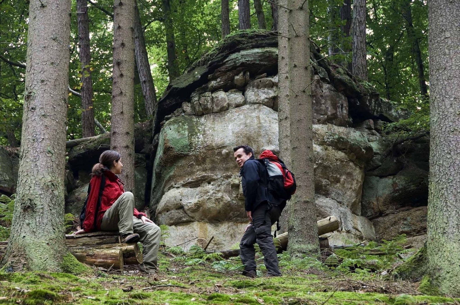
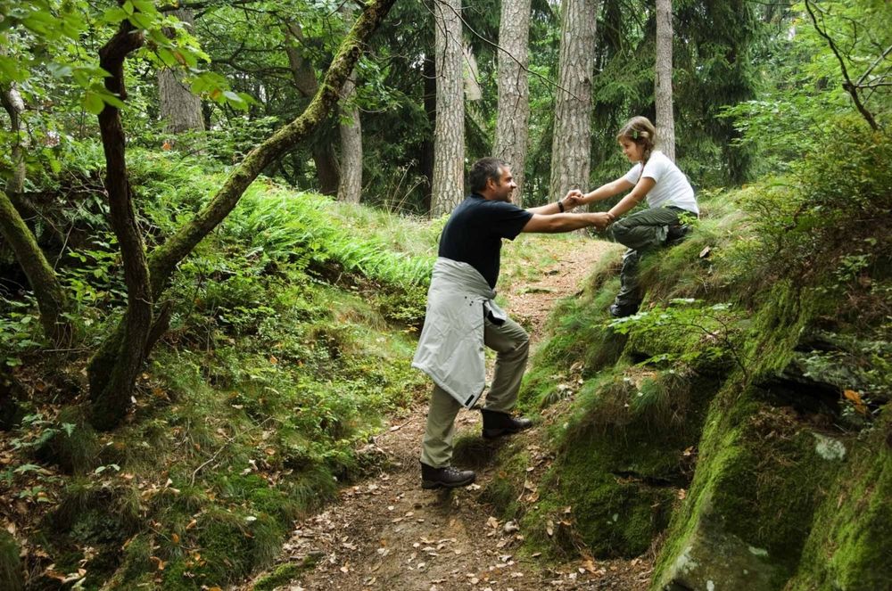
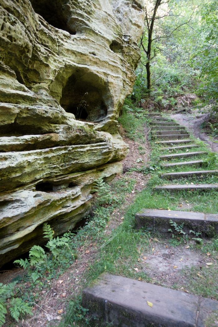
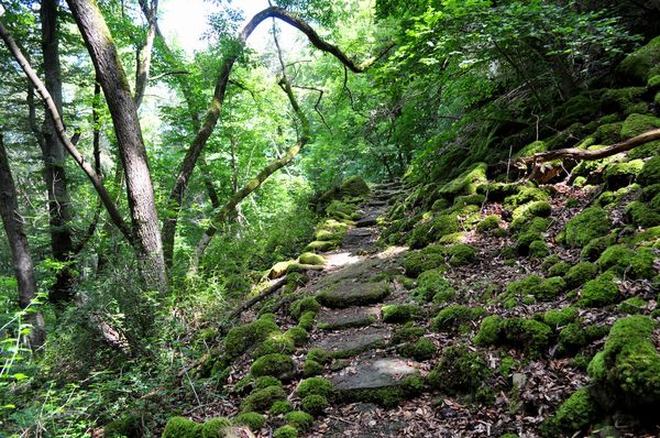
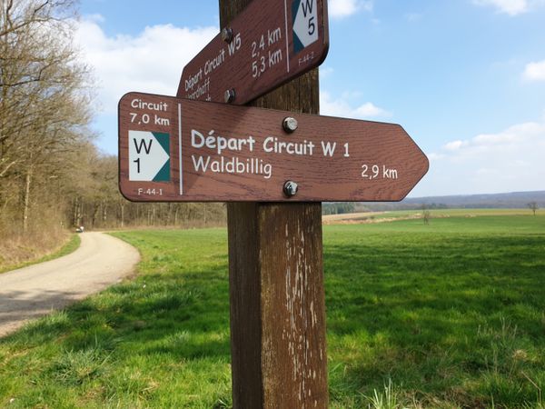
A somewhat more demanding hiking route through the rocky landscape of the Müllerthal region – with many stair steps.

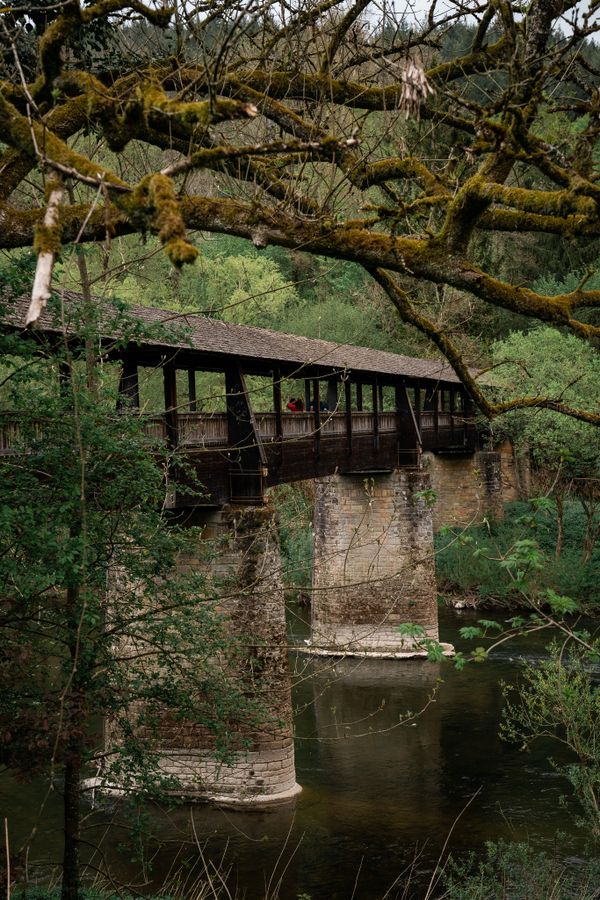
After crossing the Ponteschgronn, this path guides you past Holschent to Kaachelskapp. Before reaching the starting point, it follows a bike path along the Deisterbach up to Geitzebierg.

Current conditions

Source: Visit Luxembourg, Published: 2026-04-17
Scheidgen closed
Current Conditions: Dear hikers,

Due to forestry work, a section of the Mullerthal Trail between Consdorf and Scheidgen will be closed until April 30th. The detour follows the National Cycle Path.

Thank you for your understanding!

Suggestions nearby

Auto-Pédestre hiking route Scheidgen

  • ©Restaurant Grill Bon Repos
    Restaurant Grill Bon Repos
    Restaurant Grill Bon Repos
    Find out more

Similar hiking tours

©Jeniska photography, Visit Luxembourg
Echternach Lake comfort hiking trail
Distance: 3,25 km
Duration: 1:15 h
Difficulty: easy
Find out more
©Visit Luxembourg
Thematic paths
Honeybee educational trail between Waldbillig and Christnach
Distance: 4,00 km
Duration: 1:30 h
Difficulty: easy
Find out more
©Visit Luxembourg
Thematic paths
Nature trail "Joffer Margot"
Distance: 6,88 km
Duration: 2:00 h
Difficulty: easy
Find out more
©(c) NGPM Elisabeth Medinger, (c) NGPM Elisabeth Medinger
Thematic paths
Geo-Pad Hëlt
Distance: 4,23 km
Duration: 1:30 h
Difficulty: easy
Find out more
©Visit Luxembourg
Circular routes
Local hiking route - B14
Distance: 5,31 km
Duration: 1:25 h
Difficulty: easy
Find out more
©Visit Luxembourg
Circular routes
Local hiking path - B16
Distance: 4,32 km
Duration: 1:05 h
Difficulty: easy
Find out more
©Visit Luxembourg
Circular routes
Local hiking trail - E9
Distance: 6,32 km
Duration: 1:43 h
Difficulty: easy
Find out more
©Visit Luxembourg
Circular routes
Local hiking trail - J5
Distance: 6,54 km
Duration: 1:44 h
Difficulty: easy
Find out more
©L. Schömer, Visit Luxembourg
Circular routes
Local hiking trail - J16
Distance: 5,60 km
Duration: 1:25 h
Difficulty: easy
Find out more
outdooractive This website uses technology and content from the Outdooractive Platform.