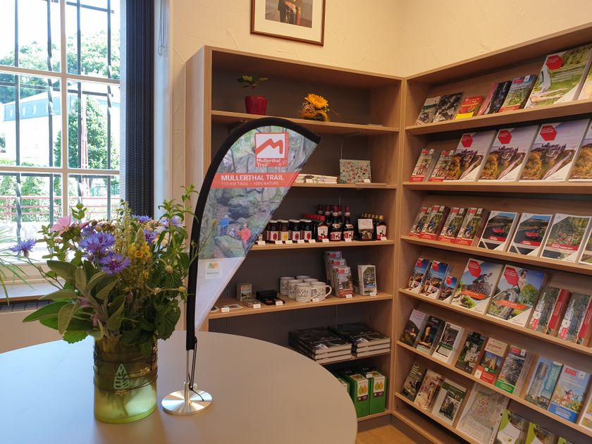
Description
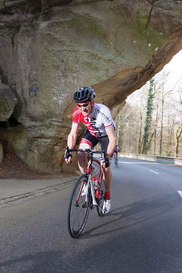
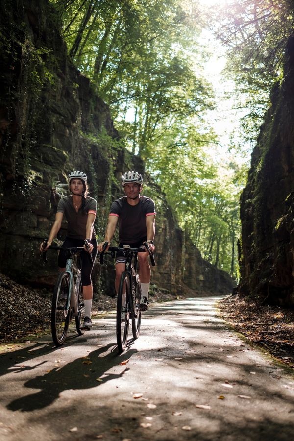
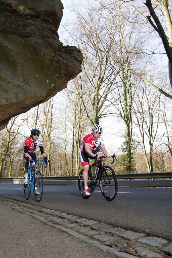
This varied and physically demanding route starts in the Sauer valley and leads over some steep climbs up to the plateau.
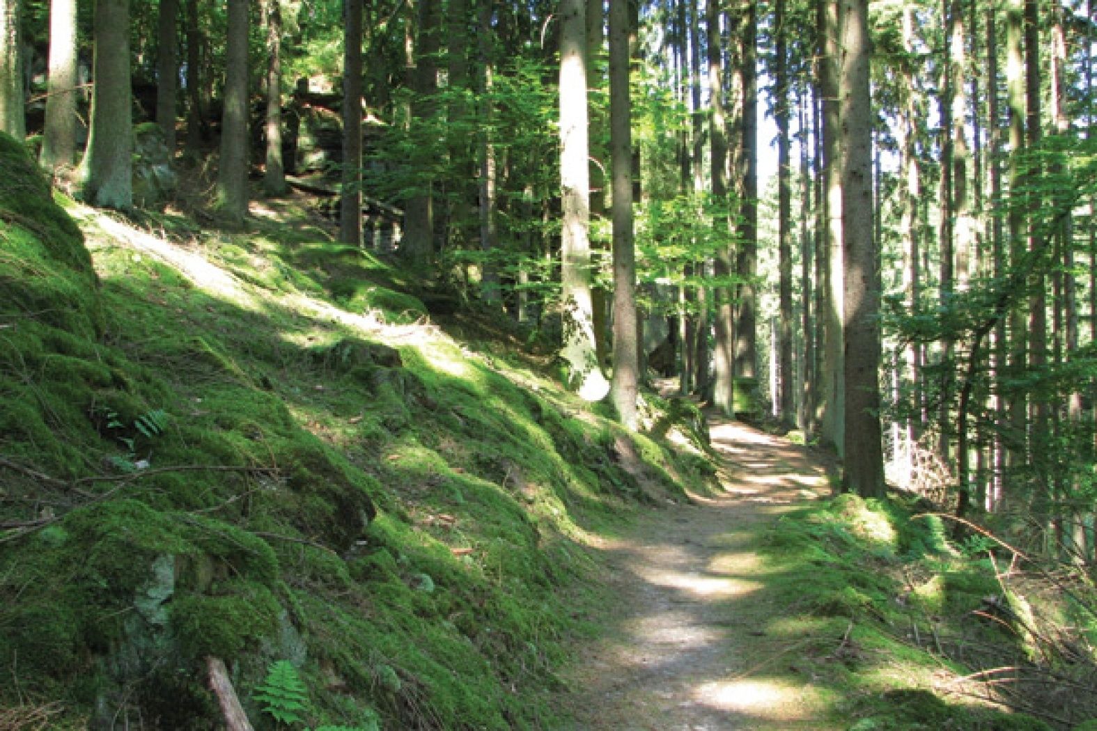
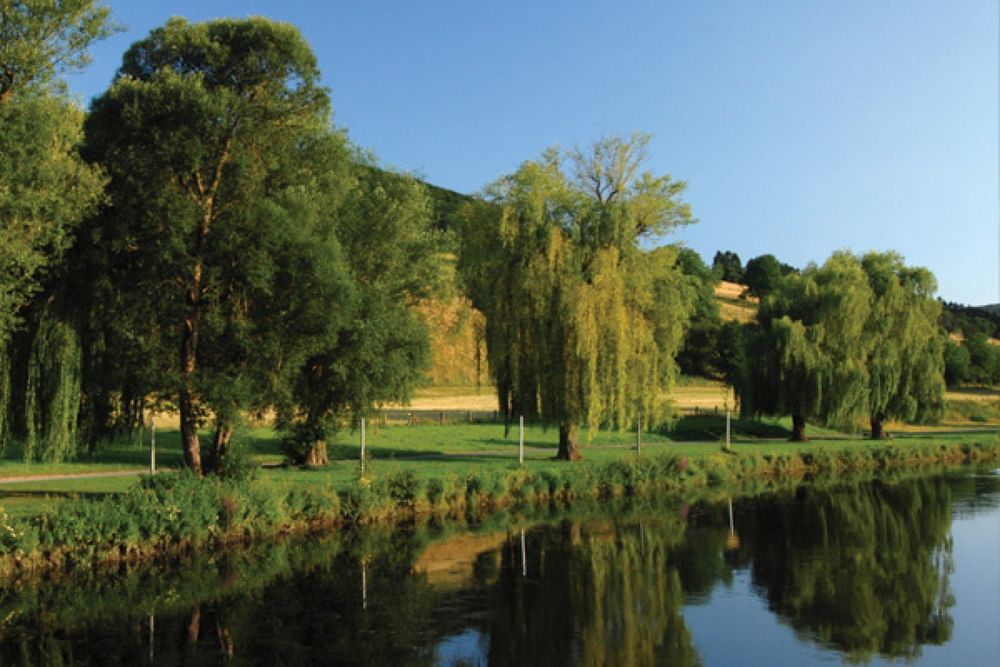
This varied and physically demanding route starts in the Sauer valley and leads over some steep climbs up to the plateau. Above the Our, great views alternate with forest sections, which bring the mountain biker back down into the Our valley.
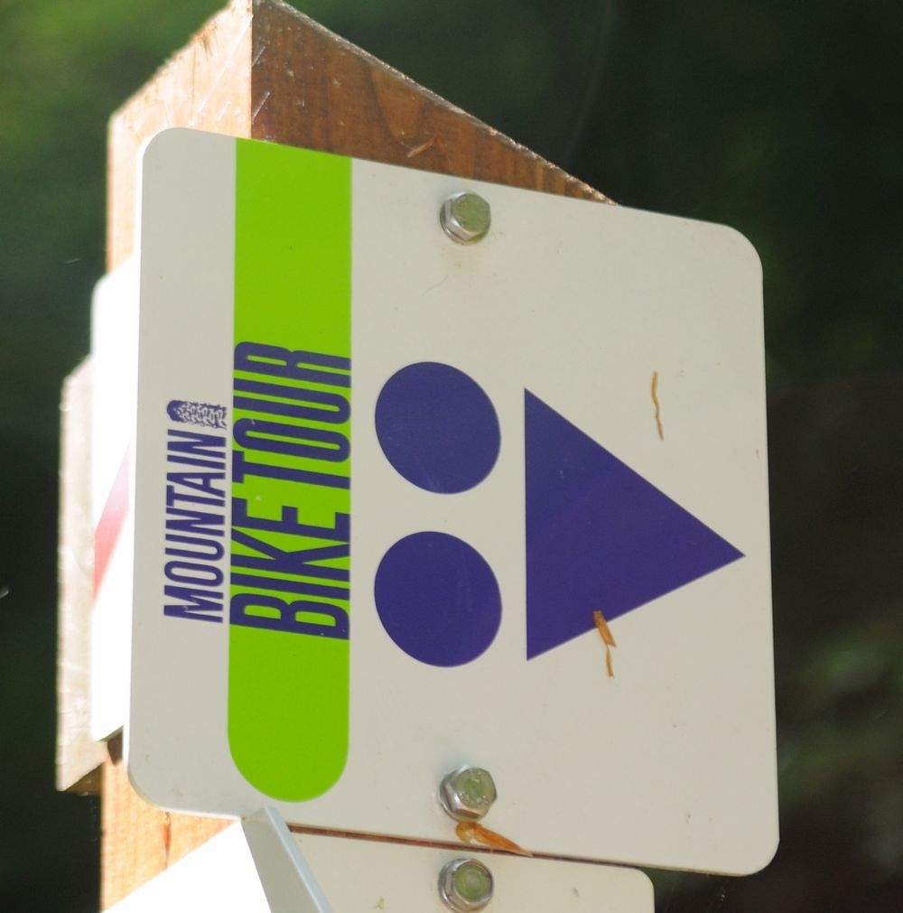
The route is only signposted in one direction.
Directions
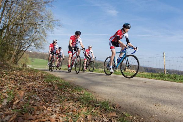
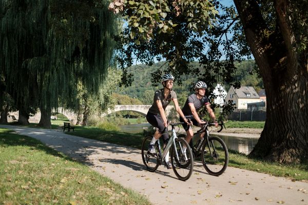
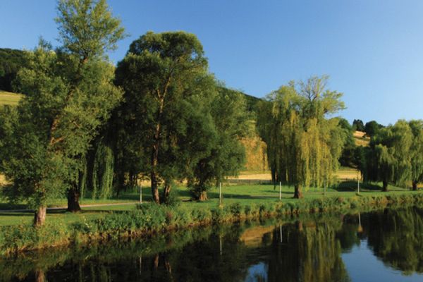
Let's start in Bettendorf at the bridge over the Sauer. After passing through the village, the route leads steeply up to the wooded height, where it goes along shady paths in two large loops. Along the edge of the forest, it then goes down to Hoesdorf in the Our valley. Above the river, it continues on to Reisdorf. After crossing the Sauer here, the route leads back up to the Koop and down through the "Jongebësch" forest to Moestroff. Along the Sauer, it then returns to the starting point in Bettendorf.
For your safety
- Make sure your equipment is in good condition. Take a repair kit with you.
- Pedestrians have the right of way. Ride slowly and dismount if necessary.
- Stay on the marked trails and obey the prohibitions.
- Keep your speed under control and be ready to brake when crossing paths.
- Ride slower in towns.
- Do not cut corners.
- Respect plants and animals.
- Take your litter with you.
Equipment
Wear a helmet and appropriate protective gear.
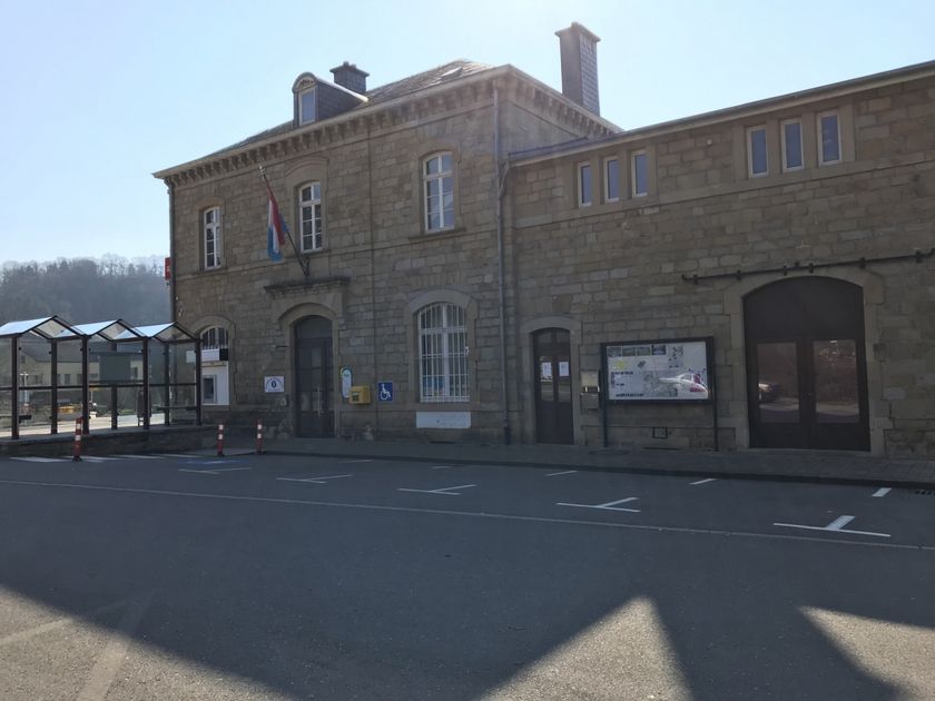
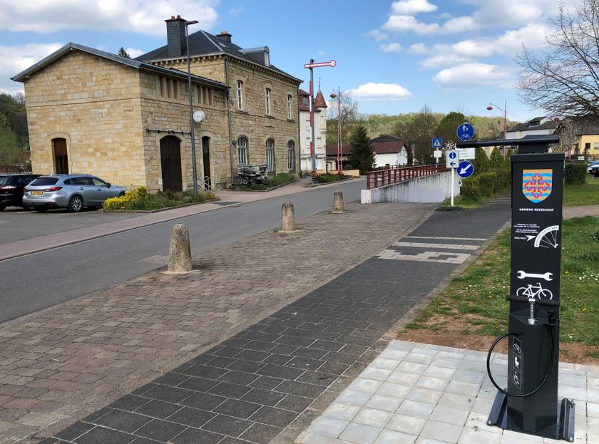
Journey
By bus to Bettendorf.


 This website uses technology and content from the Outdooractive Platform.