Description
This route offers both geological and historical highlights that are guaranteed to be interesting even for those not fond of history!
On this hiking trail, you will immerse yourself in the fascinating rock formations of Consdorf. Along the way, you'll also encounter some elements of Luxembourg's history. At the starting point of the hike, a defused aerial bomb excavated at the edge of the village recalls the horrors of the Second World War. Along the way, you will also encounter the emblem of Luxembourg - the red lion.
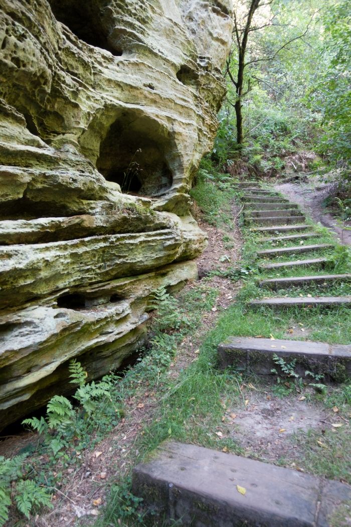
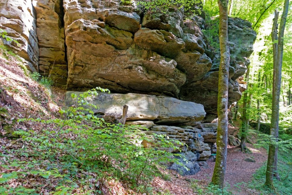
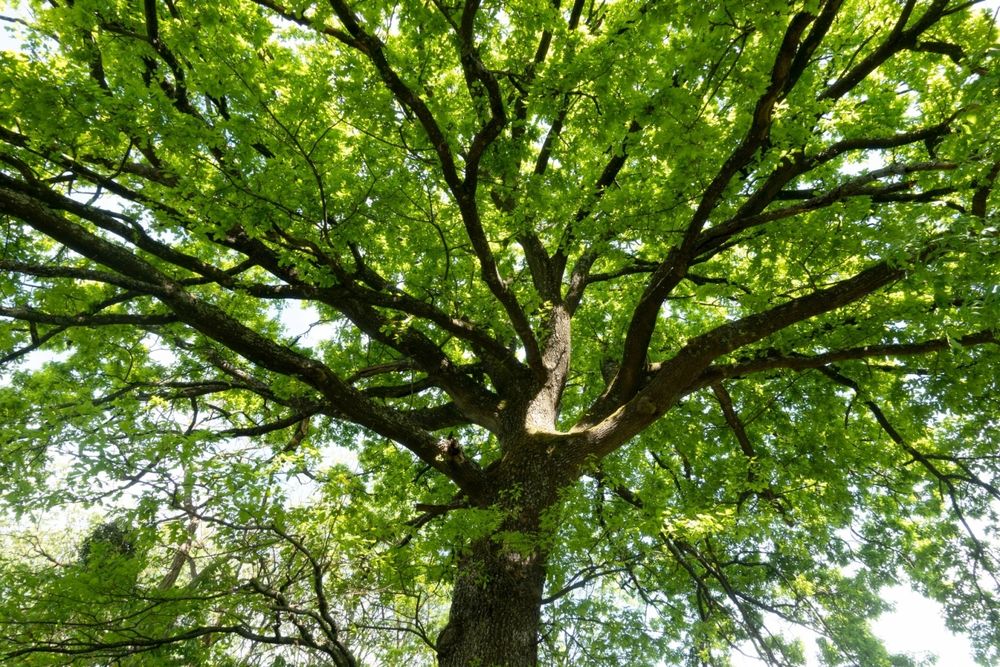
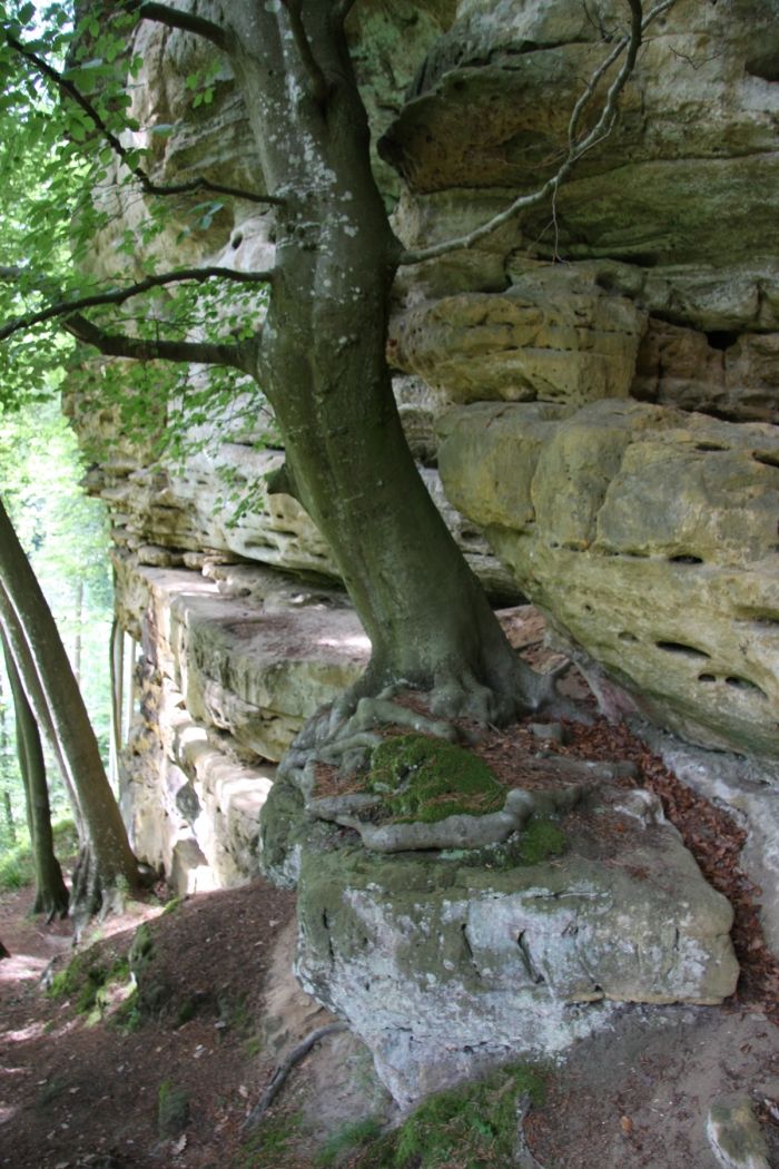
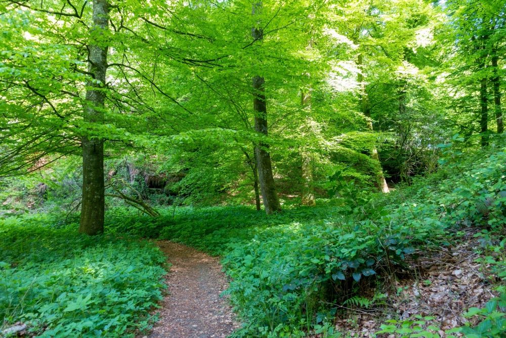
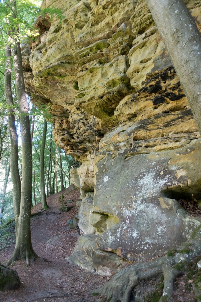
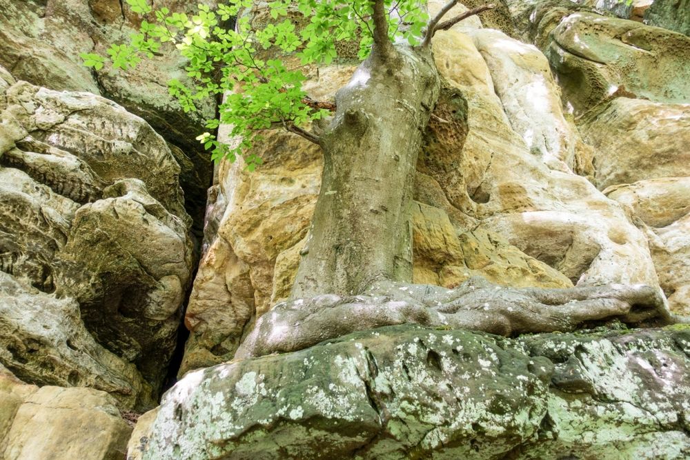
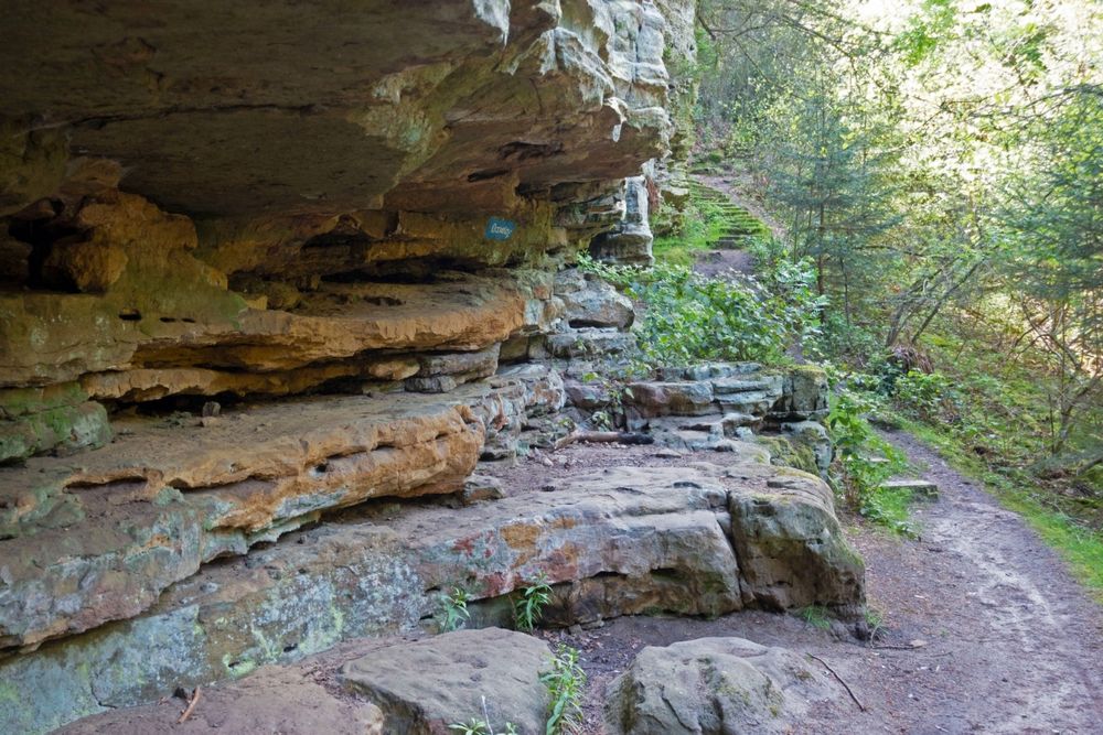
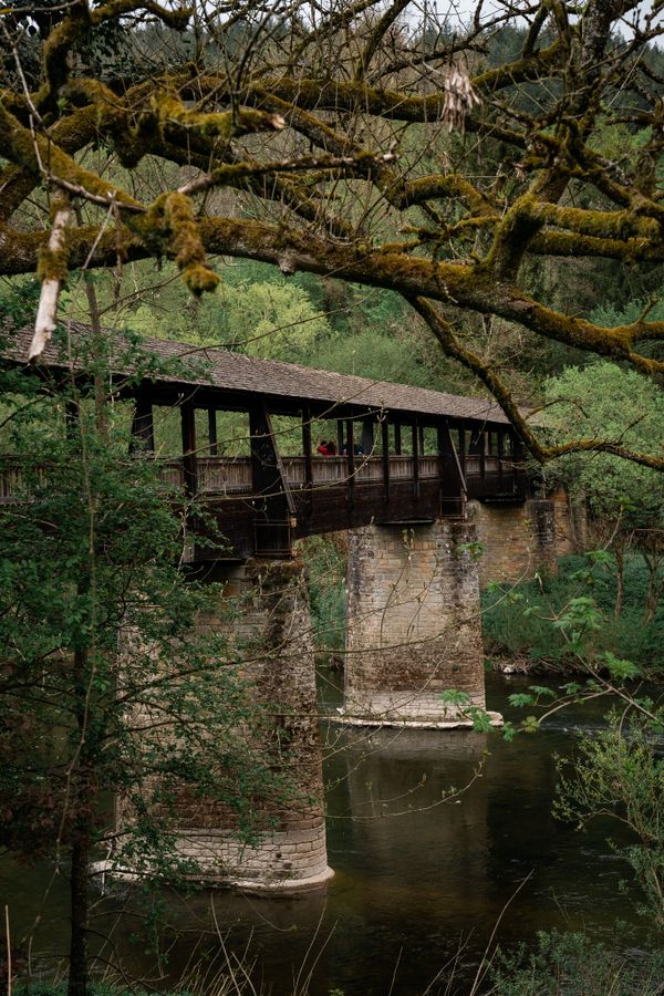
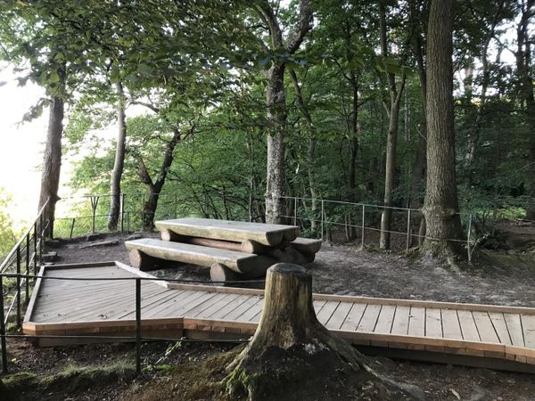
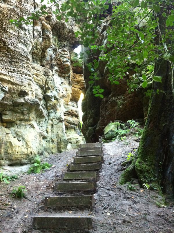
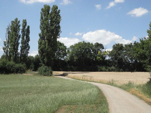
The hiking trail leads largely through the forest and through the fascinating rock formations of the Müllerthal region - Little Luxembourg Switzerland. This involves many stair steps, which lead down into the valley "Ponteschgrénnchen." Shortly before the village of Scheidgen, the path then rises again onto the plateau and leads back to Consdorf.
Signposting

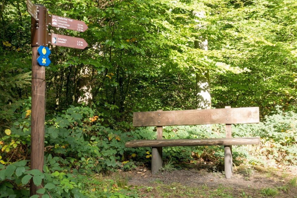
Directions
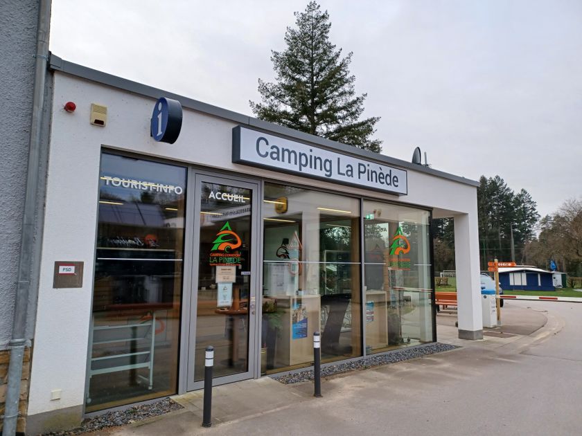
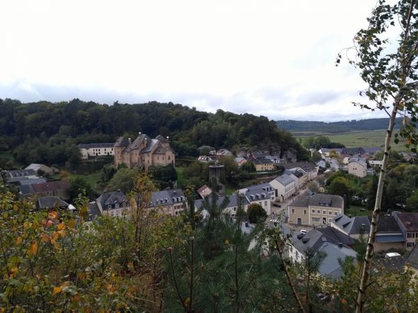
The starting point of this circular hike is the former railway site Op der Gare at the end of Route de Luxembourg in Consdorf. Here, a defused aerial bomb excavated at the edge of the village recalls the horrors of the Second World War. Initially, the path leads along a paved road into the romantic Dielchen, then continues through a shady mixed forest past the Dachselee (badger rock), named after a badger castle built here by badgers. Via many stair steps, the valley Ponteschgrénnchen is reached and the path heads towards the village of Scheidgen, passing the Roude-Léiwer rock, a patriotic site commemorating the 100-year independence celebrations of the Grand Duchy in 1939. In Ponteschgronn, a plaque commemorates the tourism pioneer Fred Welter (1921-1973) from Scheidgen. The hiking trail continues along the Echternach-Luxembourg bike path into the center of Consdorf and leads hikers, after partly crossing the village via picturesque paths, back to the starting point where an information board provides details about the narrow-gauge railway Charly, which was in operation from 1904 to 1954.
Journey
Nearest bus stop: Consdorf, Gare (50 m)
Parking:
Nearest parking: Consdorf Gare (right on site)


 This website uses technology and content from the Outdooractive Platform.