Circular routes Visit Luxembourg
Description
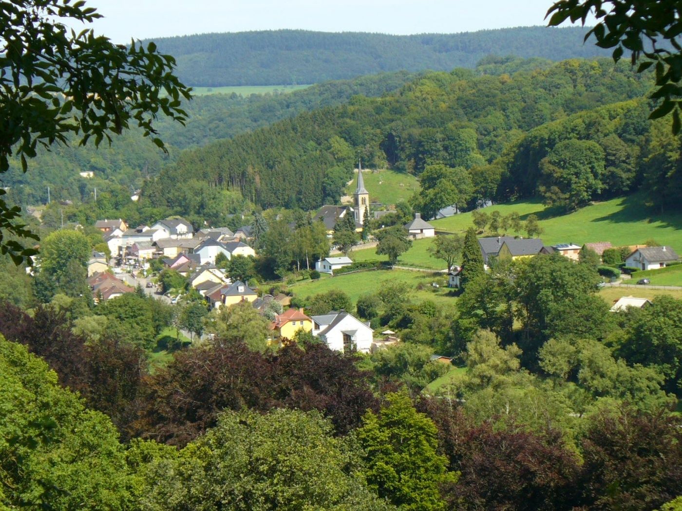
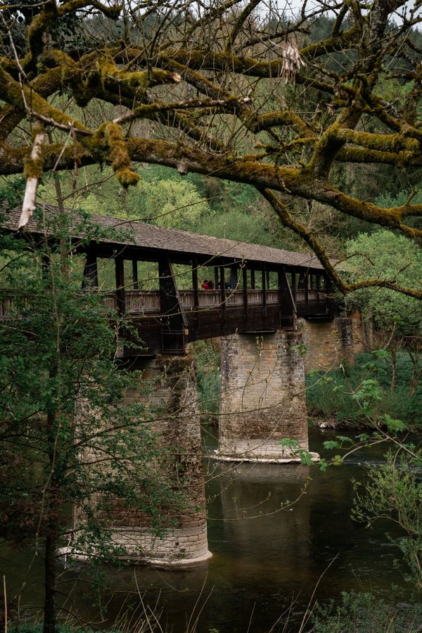
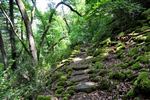
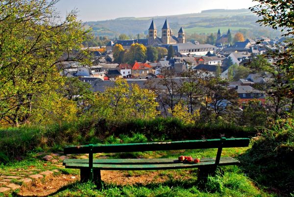
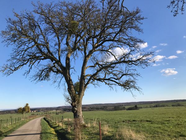
A relaxing path through the Sauer valley and dense forest with two climbs.
The forest path runs along the Sauer to Moestroff. From there, it goes up the Schoofsbierg. The path returns along the heights to Reisdorf. The hike mainly passes through dense forest there. Relaxation guaranteed!
Signposting

Equipment
Sturdy footwear and something to drink.
Journey
Public transport:
Parking:
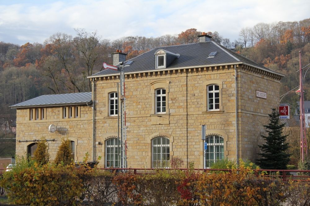
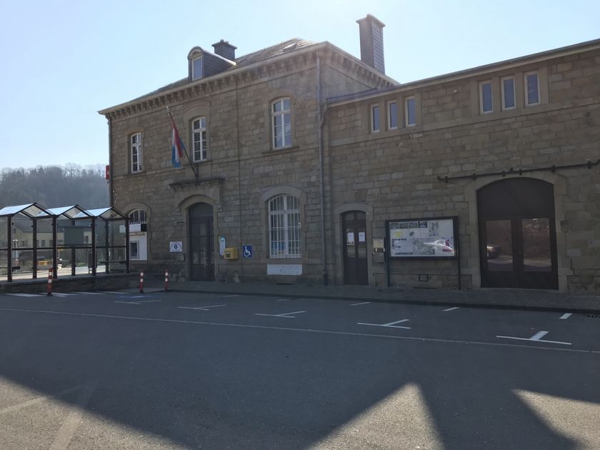
Nearest bus stop: Reisdorf, Bei der Gare (50 m)
Parking:
Nearest parking: Op der Gare (100 m)


 This website uses technology and content from the Outdooractive Platform.