Description
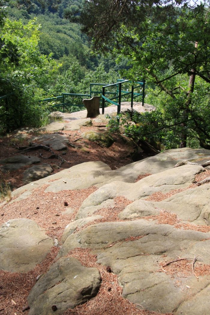
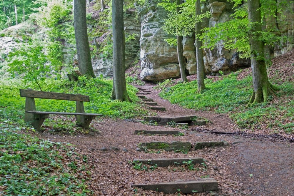
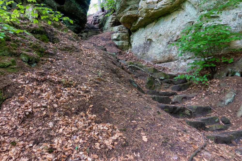
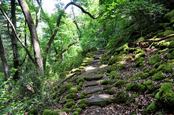
This small circular route with many paths first leads down into the valley via some tricky steps through a narrow rock crevice. At the height of the road, about the midpoint of the trail is already reached. From here, the path leads back uphill along the impressive rock landscape and back to Consdorf.
At the end of the walk, the path takes you past Bäckerei Jeitz. In this bakery, you can discover traditional baking and regional products. If it is closed, you can buy freshly baked goods and regional specialities at any time from the vending machine.
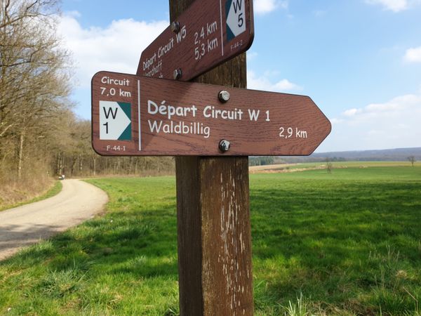
Signposting

Directions
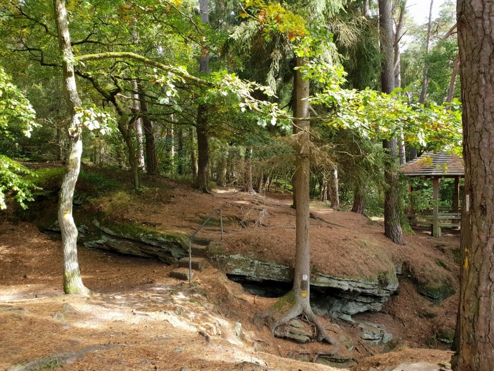
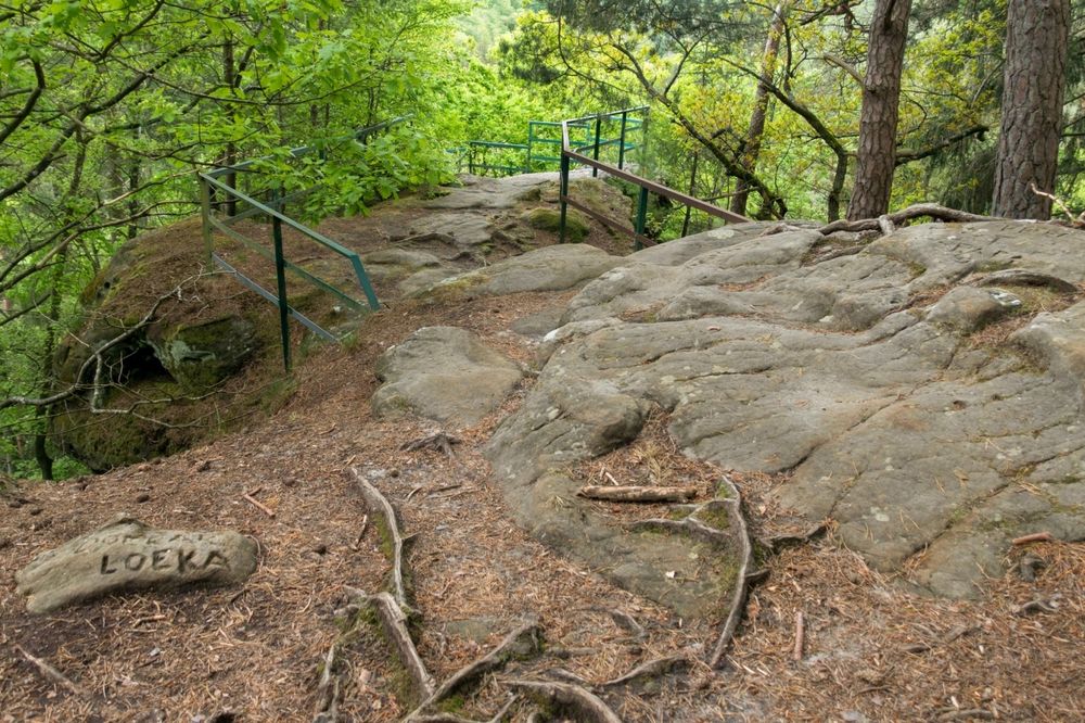
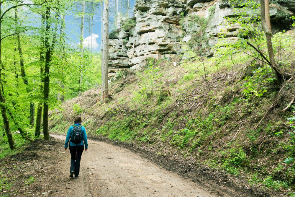
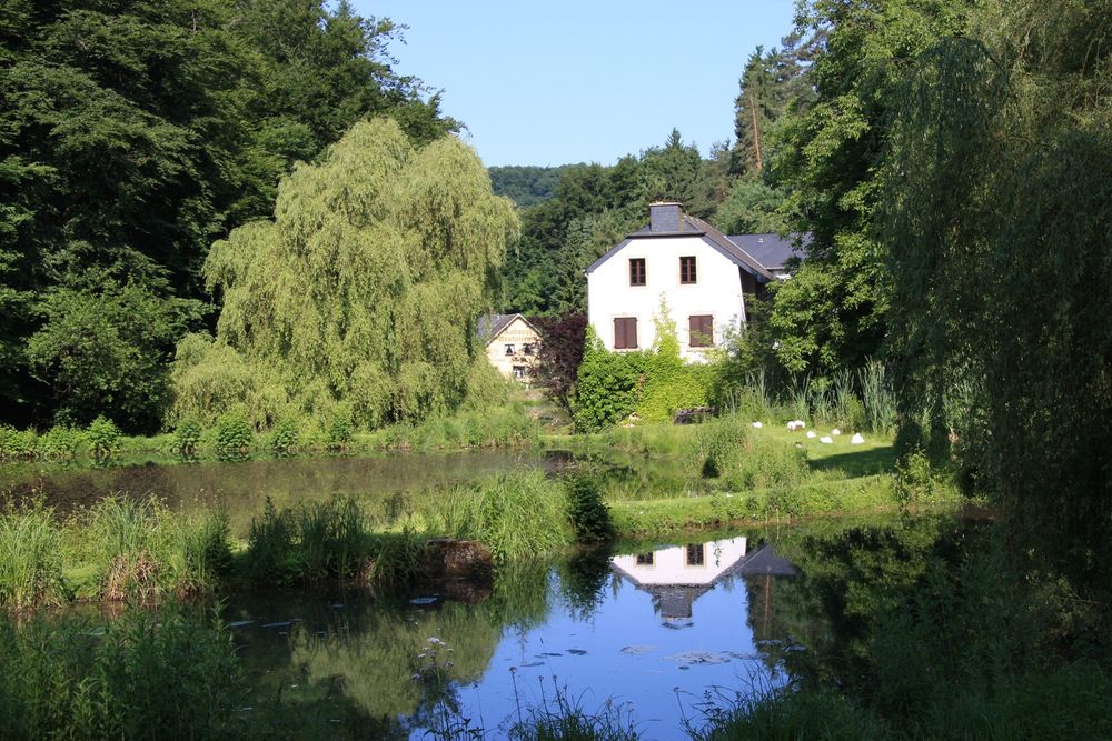
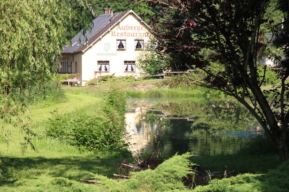
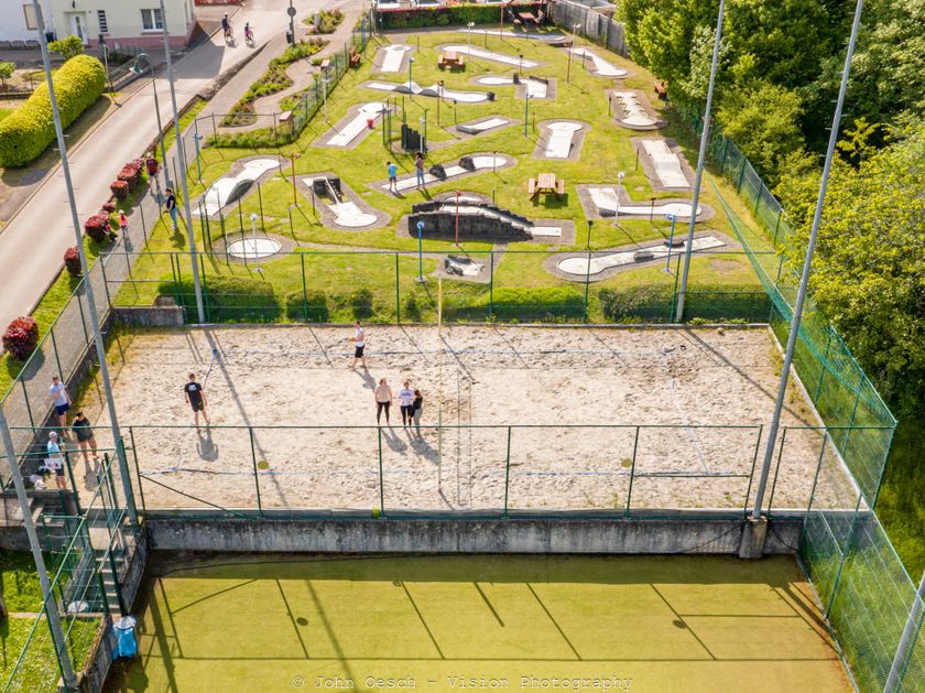
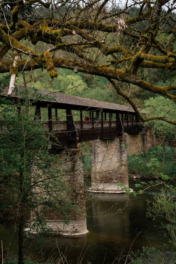
After crossing the area of a former refuge castle - today a campsite, football field, and playground - the hiking trail leads to the westernmost extension. From here, a rewarding view over rugged rock walls offers a picturesque view of the Bering of the Konsdrefer Millen (Consdorf Mill) situated in the valley. Tricky stair steps through a narrow rock crevice lead down into the valley of the Konsdrefer Baach (Consdorf Creek). After crossing the Fluedebuer parking lot and the main road, the forest path leads a short distance upstream along the Härdbaach. Via a narrow path, the height meters previously descended must now be climbed again, past a small spring popularly called Nidderbierchen or Nidderbierchelchen (little fountain).
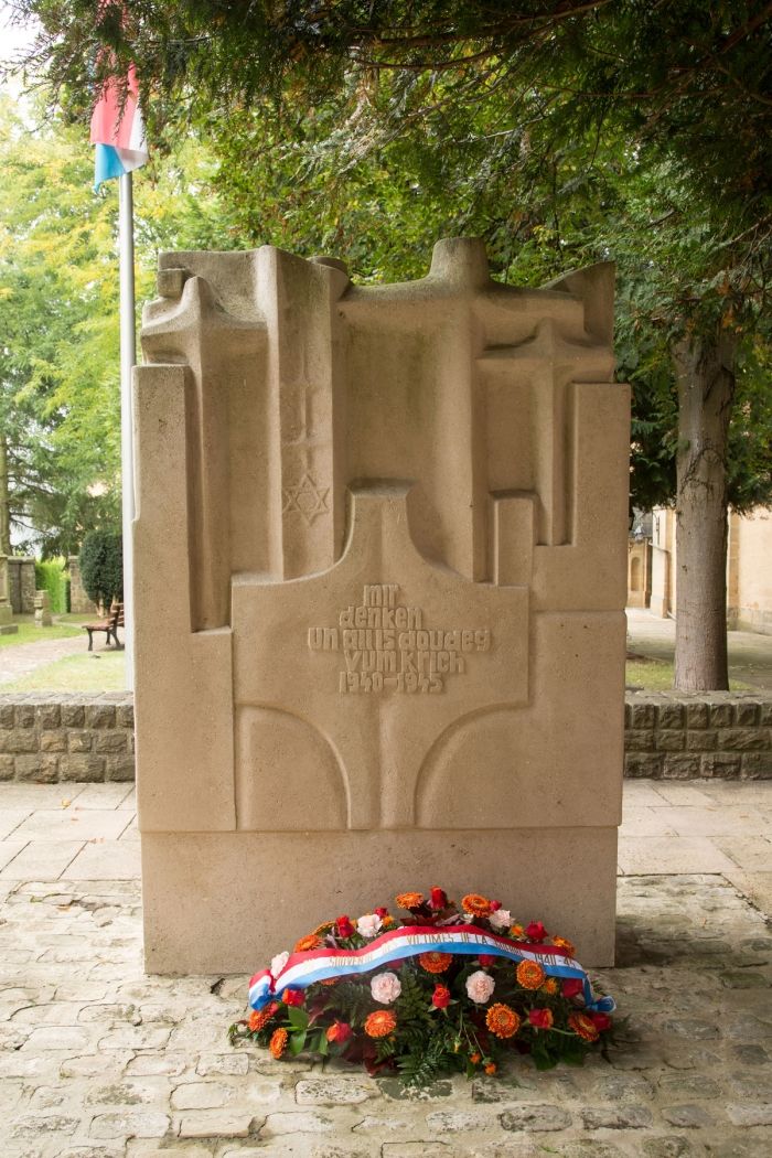
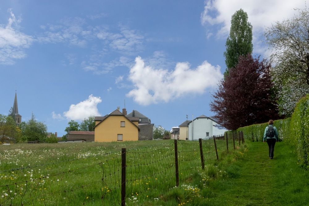
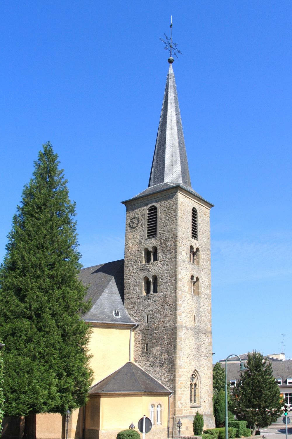
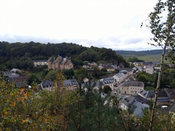
In the village center, the remarkable Gothic church tower, protected as a national monument, stands out. The monument next to the church commemorates the citizens of the municipality of Consdorf who fell in World War II as well as the victims of a typhus epidemic that broke out in Consdorf in 1945.
Passing the elementary school, the retirement home, and the cemetery on Buergkapp street, the starting point is soon reached again.
Equipment
Sturdy footwear and something to drink.
Journey
Nearest bus stop: Consdorf, Schoul (500 m)
Parking:
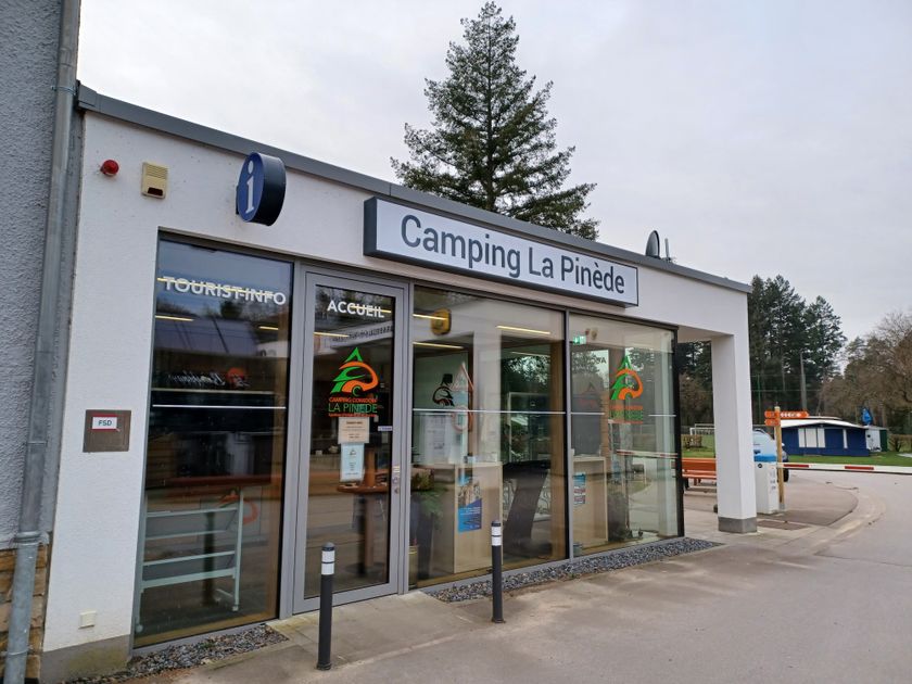
Nearest parking lot: Camping (50 m)


 This website uses technology and content from the Outdooractive Platform.