Circular routes Visit Luxembourg
Description
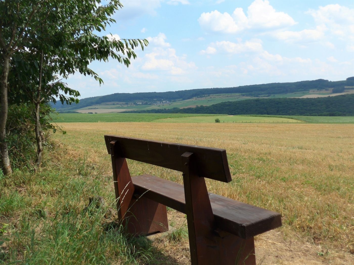
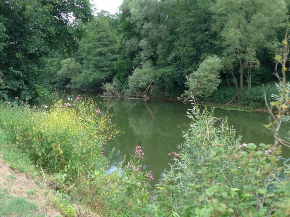
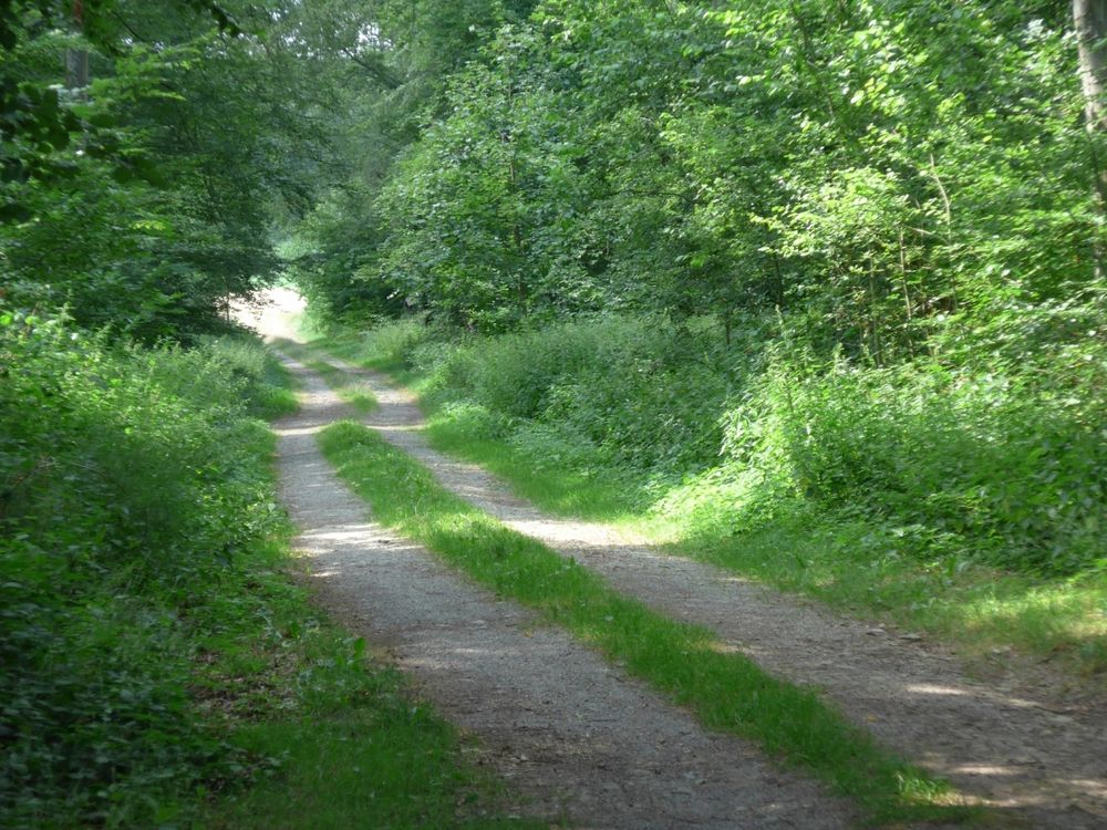
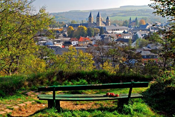
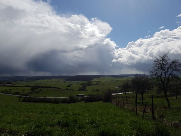
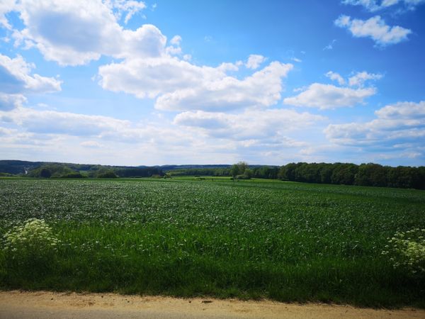
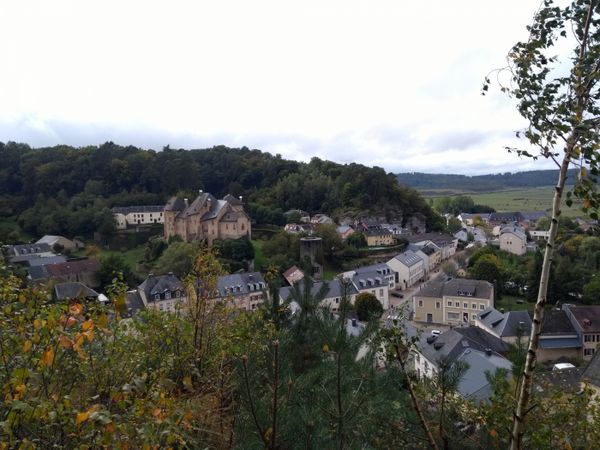
Idyllic forest, wide views, and the Sauer river characterize this hiking route.
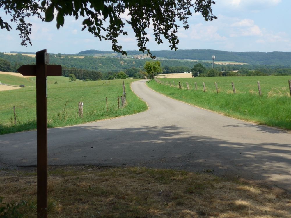
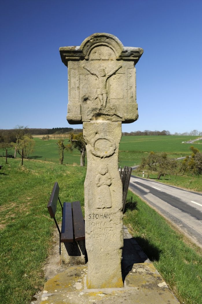
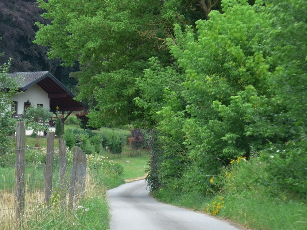
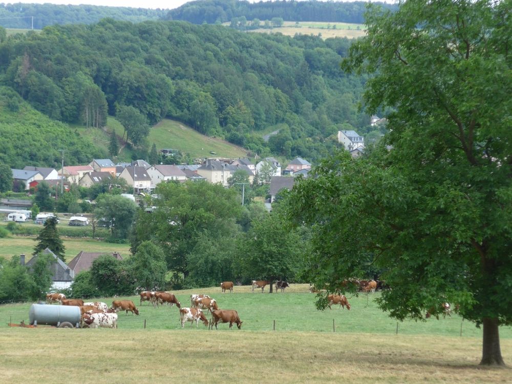
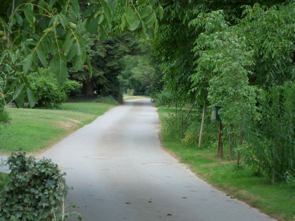
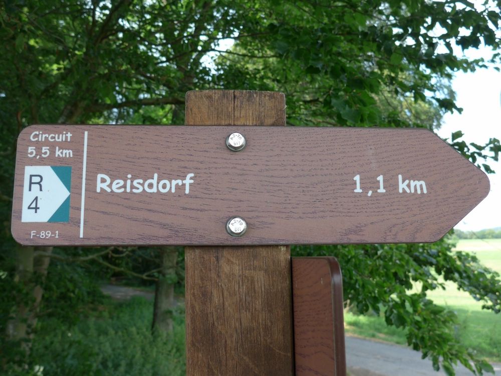
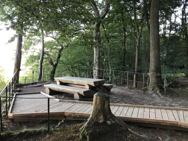
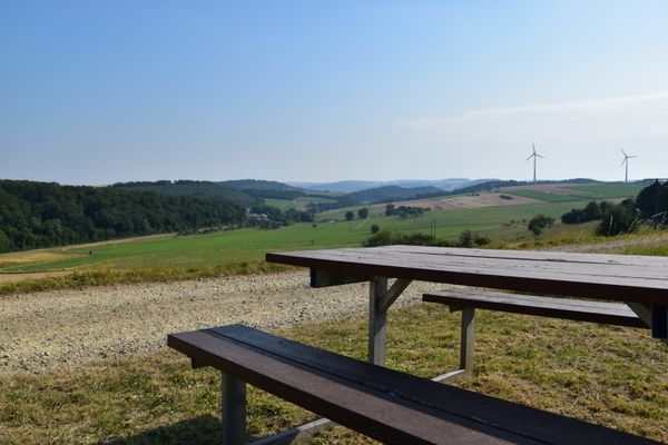
The beautiful footpath first runs along the Sauer and then goes through the Heckebaach valley up the slope to Heichelerbësch. On the height you have a good view over the Sauer valley. On the way back to Reisdorf, you pass through the Ronnebësch, an idyllic forest area. On the descent back to Reisdorf, a break at the Kurtenhecken viewpoint with a beautiful view of Reisdorf is worth it.
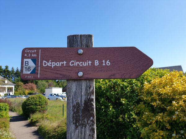
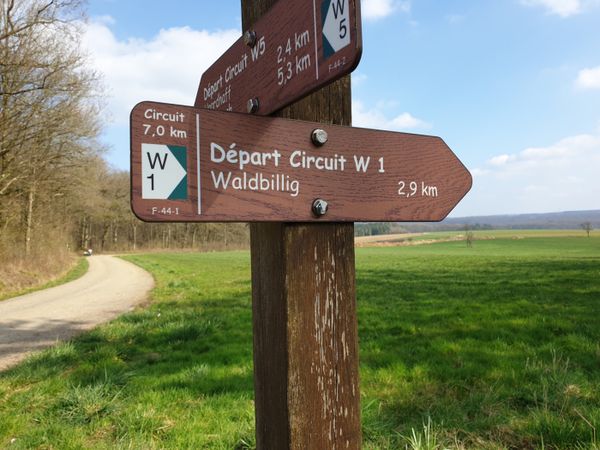
Signposting

Equipment
Sturdy footwear and something to drink.
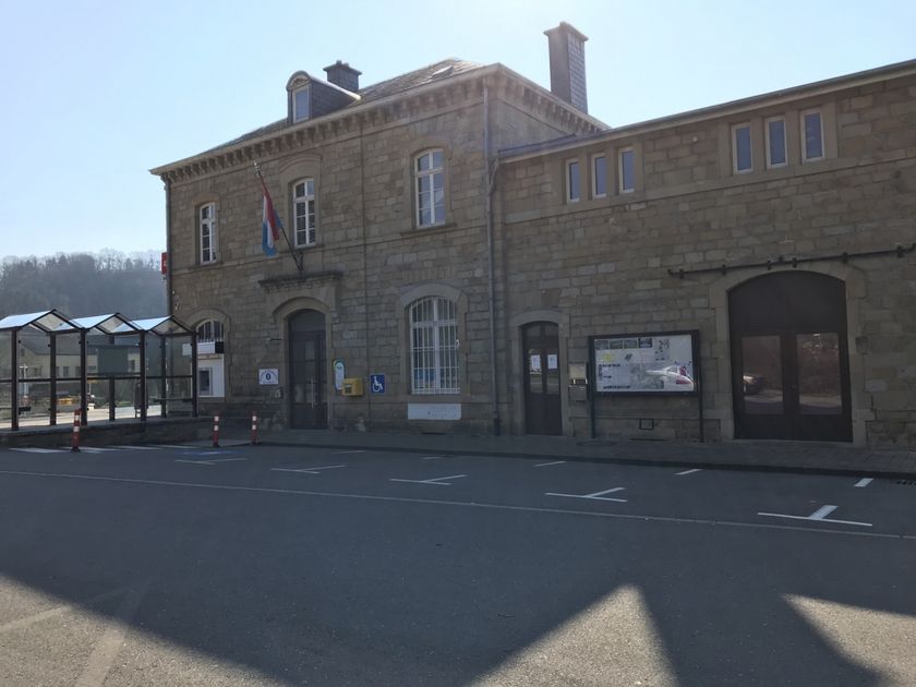
Journey
Public transport:
Parking:
Nearest bus stop: Reisdorf, Cité J. Hientgen (100 m)
Parking:
Nearest parking: Rue Kleinreisduerf (50 m)


 This website uses technology and content from the Outdooractive Platform.