©Visit Luxembourg
Müllerthal Germany France

Local hiking route - B9

Hunting Season 2025/26 — Check for hunts

Autumn is here, and that means hunting season has begun! From mid-October to January/February, hunters are active across the country. Stay safe by checking hunt dates in your area on our Map. 

Click on Map in the Header > Services > More > Hunting.

Starting point

Bech: Becher Gare

Destination

Bech: Becher Gare

Distance
5,25 km
Duration
1:30 h
Difficulty
medium
  • Condition
Highest point
397 Hm
Lowest point
307 Hm
Aggregated Ascent
123 Hm
Aggregated Descent
123 Hm
Circular routes Visit Luxembourg

Description

Kids & Family Scenic Refreshment stops available

Scenic circular route, well suited for families, with various stations for discovering and participating.

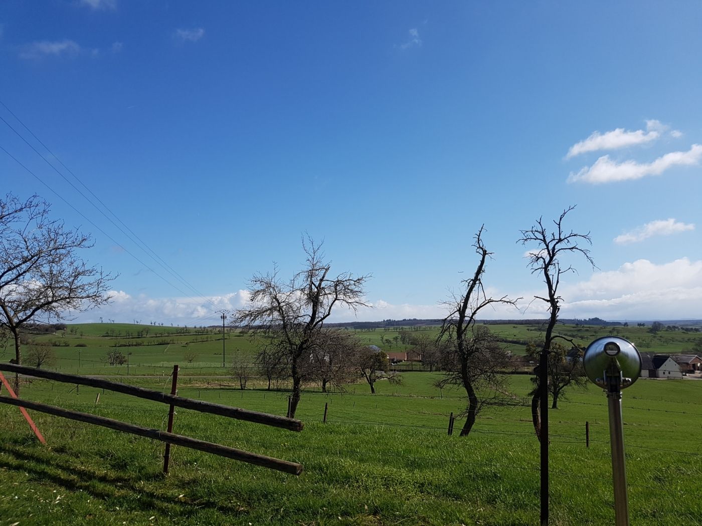
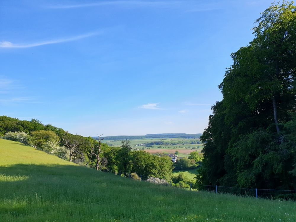
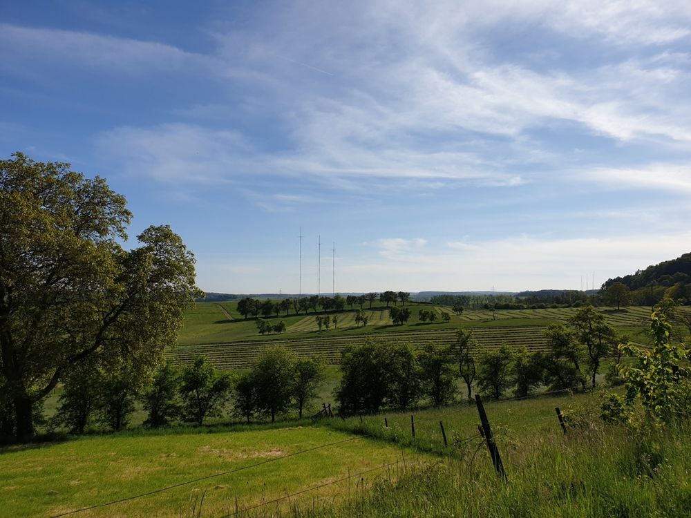
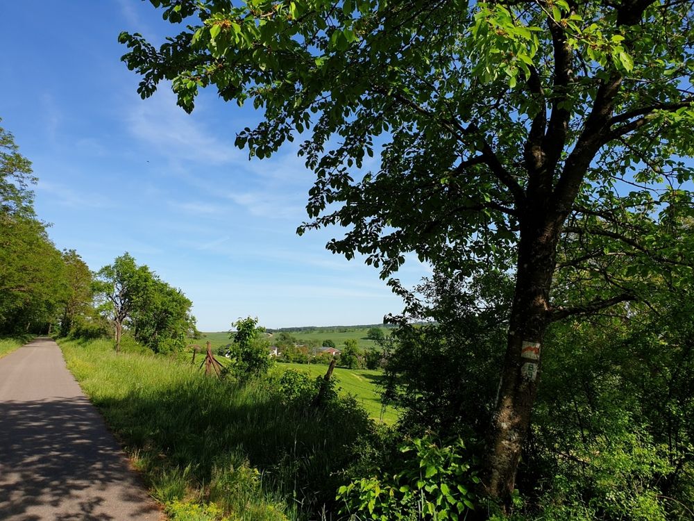
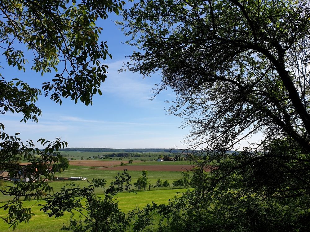
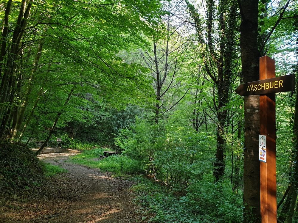
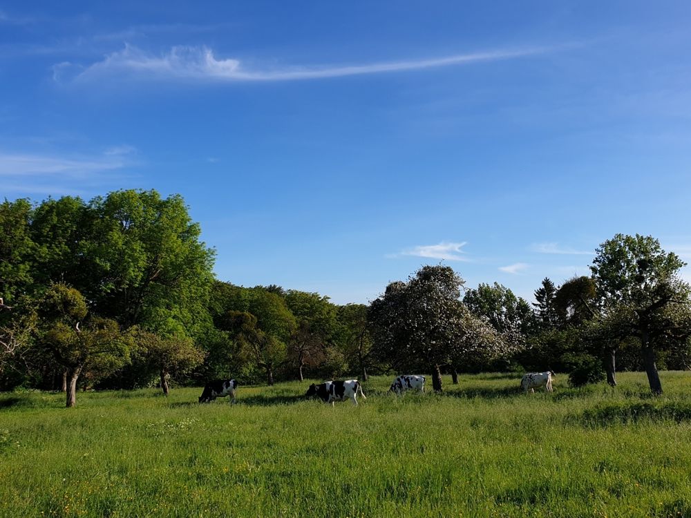
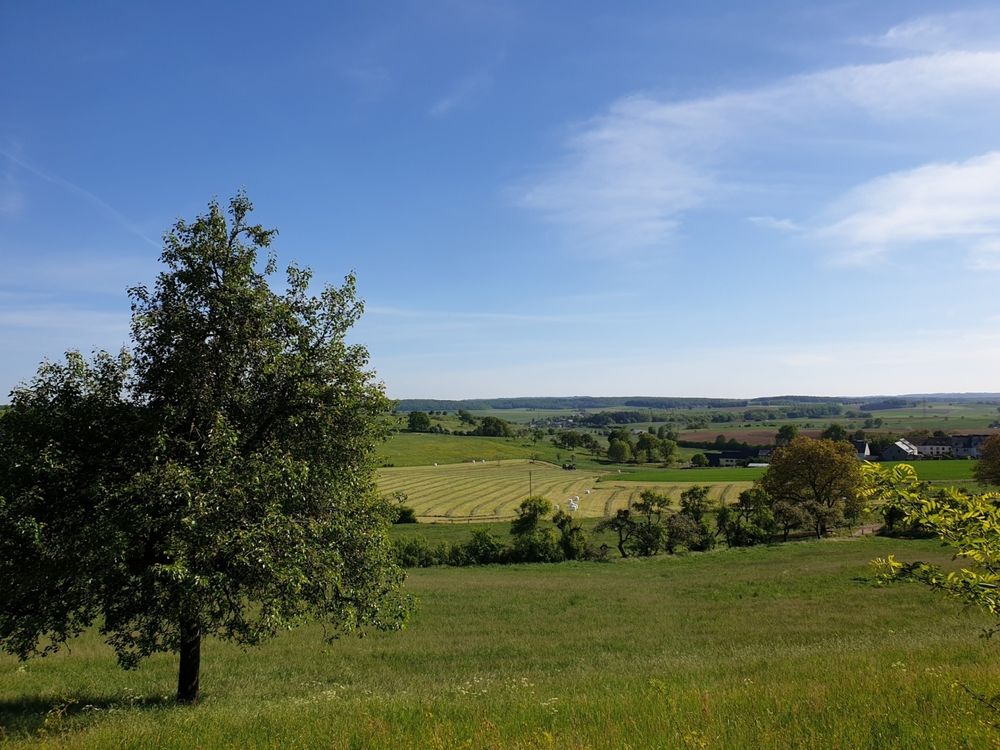
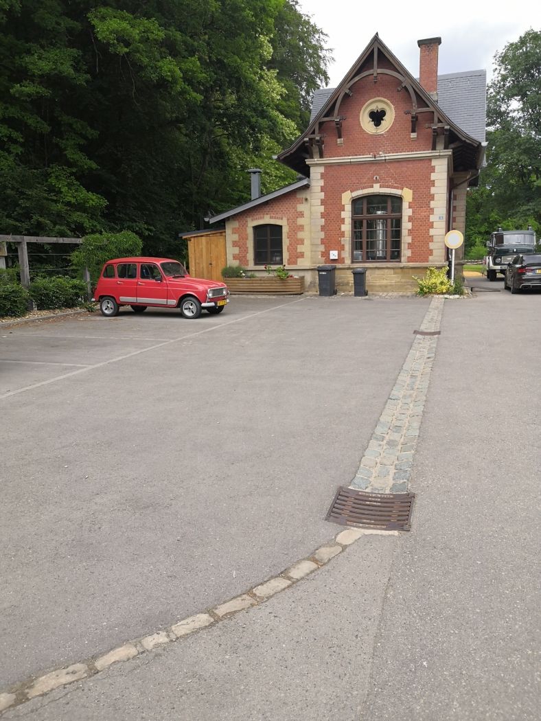
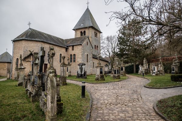
The route starts in the center of Altrier and leads along fields and forest to an old washing fountain (Wäschbuer). The path offers numerous views and passes along Becher Gare, a beautiful old station building now housing a microbrewery. Alternatively, the hike can also start here.

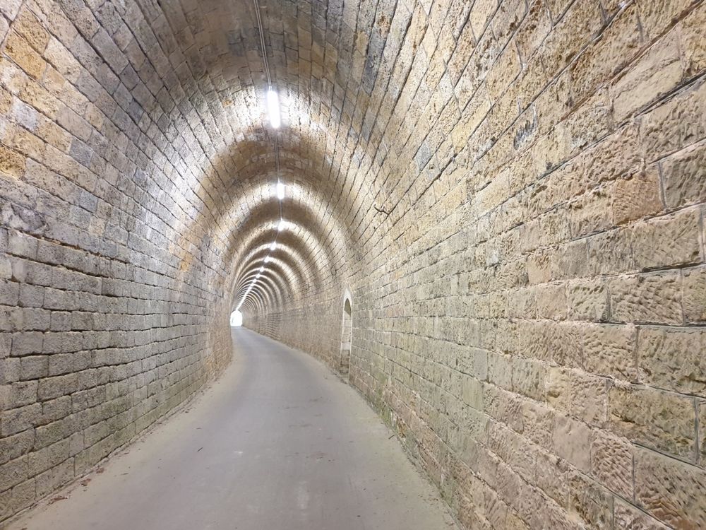
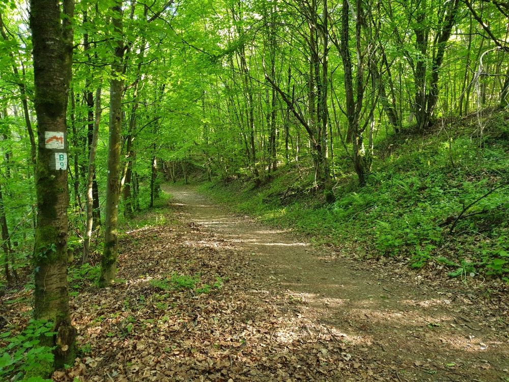
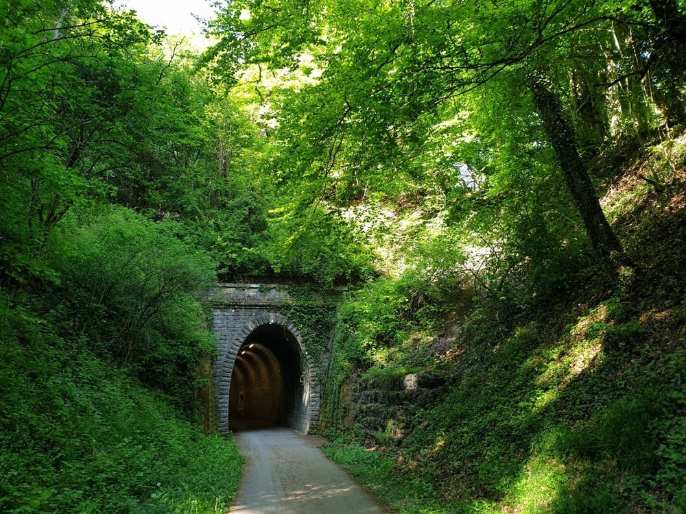
The highlight of the hike is the old railway tunnel in Bech. Through the forest and along the forest edge, it returns to the starting point Altrier. 

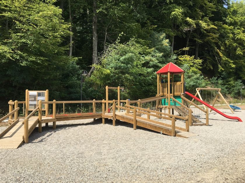
The route coincides with the children's trail "In the Footsteps of Charly" (starting point in Bech). Along the path there are 13 stations for discovering and participating. Note: The path is not suitable for strollers everywhere.
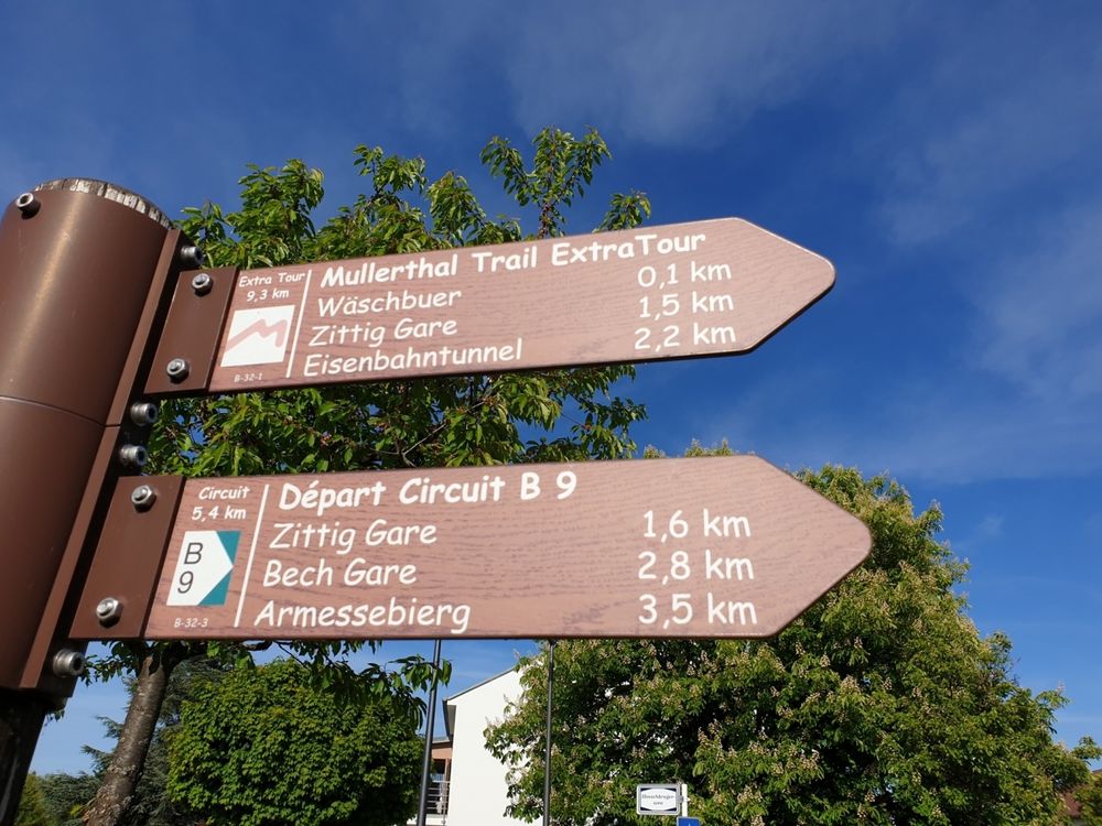
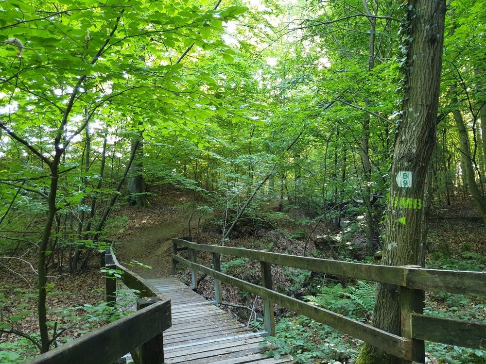
Suggestions nearby

Local hiking route - B9

  • Parking - Becher Gare Bech
    Parking - Becher Gare Bech
    Find out more
  • ©Restaurant Becher Gare
    Restaurant Becher Gare
    Restaurant Becher Gare
    Find out more
  • Playground and bowling slope
    Playground and bowling slope
    Find out more

Similar hiking tours

©Tom Barnich, Visit Berdorf
Circular routes
Local hiking trail - B17
Distance: 6,14 km
Duration: 1:40 h
Difficulty: medium
Find out more
©Visit Luxembourg
Thematic paths
Didactic nature path "Joffer Margot"
Distance: 6,88 km
Duration: 2:00 h
Difficulty: medium
Find out more
©Visit Luxembourg
Thematic paths
Circular hiking trail through the Deiwelskopp nature reserve
Distance: 8,50 km
Duration: 2:27 h
Difficulty: medium
Find out more
©Visit Luxembourg
Circular routes
Local hiking route - F2
Distance: 8,21 km
Duration: 2:30 h
Difficulty: medium
Find out more
©Visit Luxembourg
Circular routes
Local hiking route - B12
Distance: 3,25 km
Duration: 0:55 h
Difficulty: medium
Find out more
©Visit Luxembourg
Circular routes
Local route - B10
Distance: 4,99 km
Duration: 1:20 h
Difficulty: medium
Find out more
©Visit Luxembourg
Circular routes
Local hiking route - E8
Distance: 6,26 km
Duration: 1:40 h
Difficulty: medium
Find out more
©Visit Luxembourg
Circular routes
Local hiking trail - W1
Distance: 6,81 km
Duration: 1:47 h
Difficulty: medium
Find out more
©L. Schömer, Visit Luxembourg
Circular routes
Auto-pédestre trail Bollendorf-Pont
Distance: 8,67 km
Duration: 2:40 h
Difficulty: medium
Find out more
outdooractive This website uses technology and content from the Outdooractive Platform.