Description
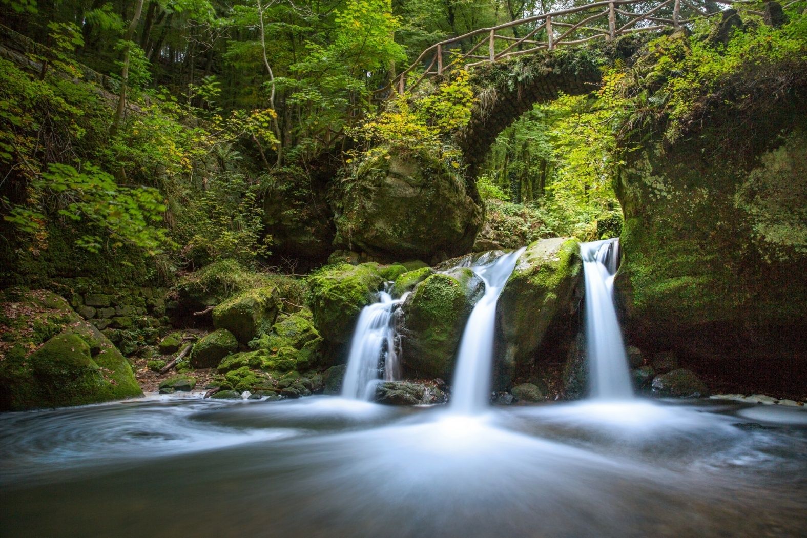
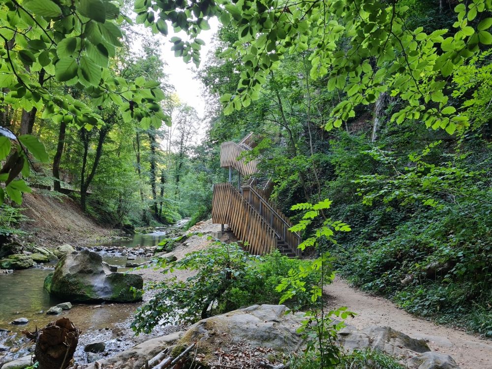
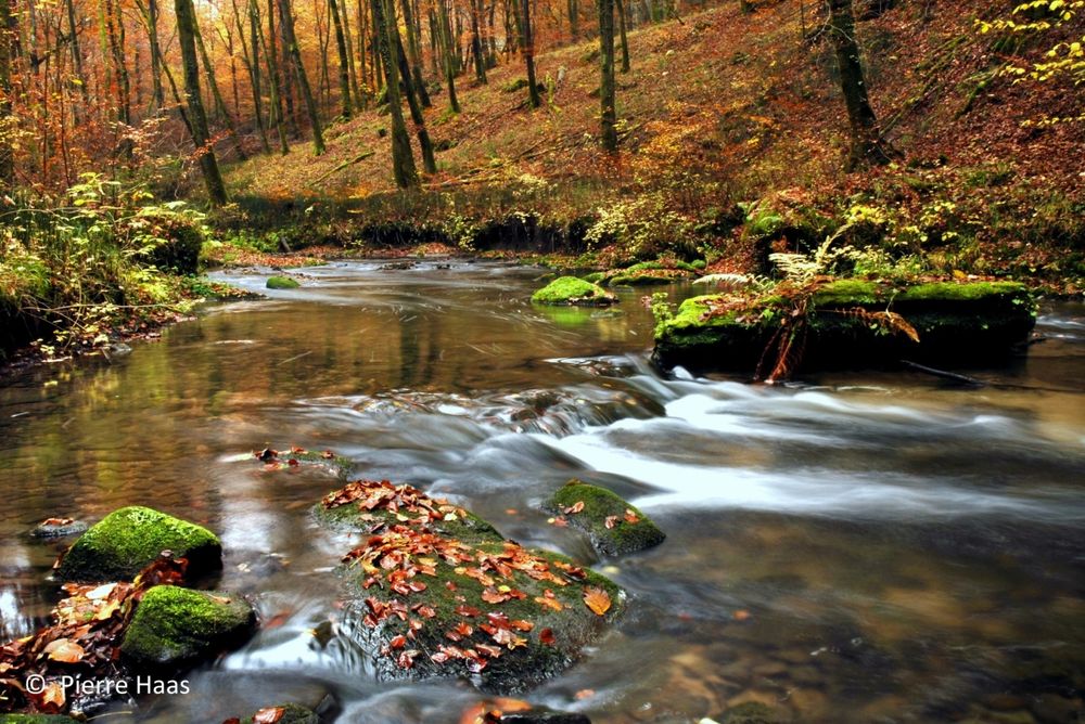
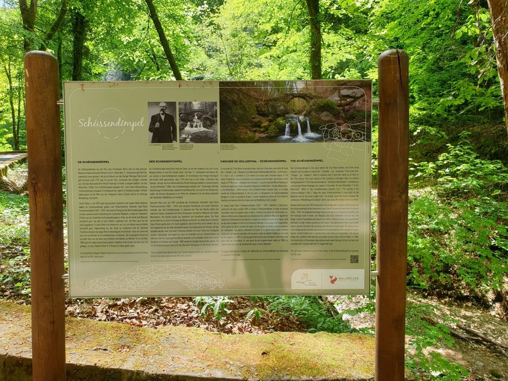
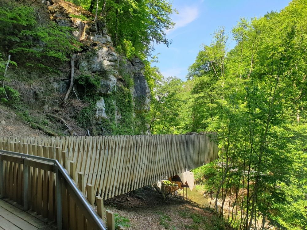
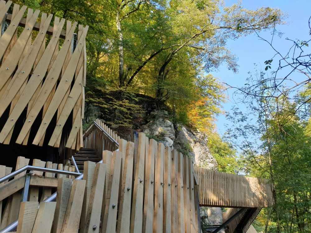
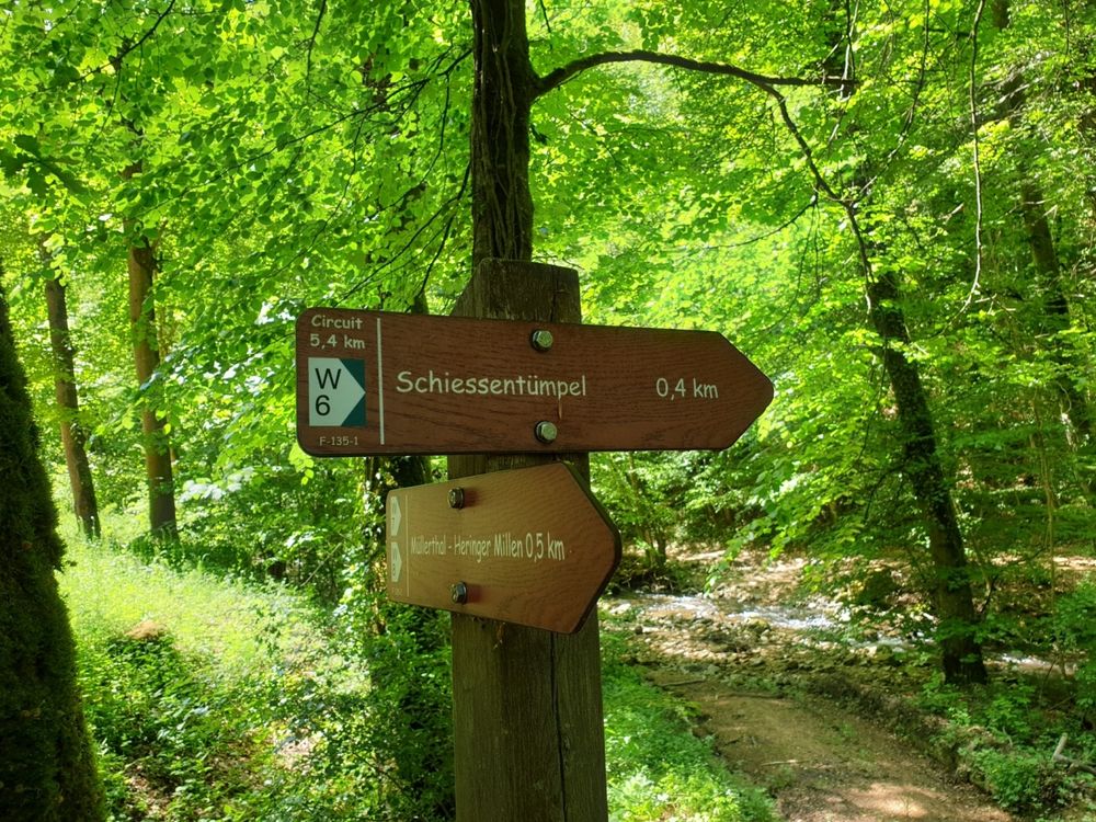
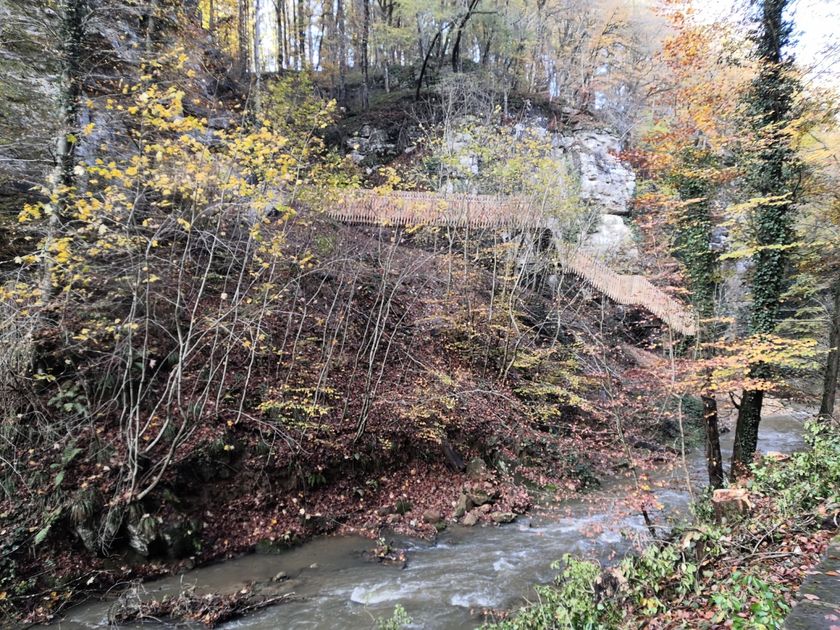
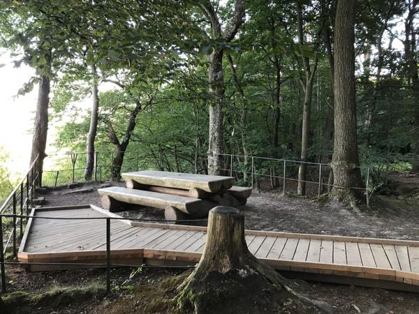
This hiking trail leads to the landmark of the Mullerthal region - Little Luxembourg Switzerland: the Schiessentümpel. It is the most popular excursion destination in the region and can best be reached on foot. Behind the Schiessentümpel is a modern staircase structure built to make the Schiessentümpel accessible again after the heavy storms in 2018.
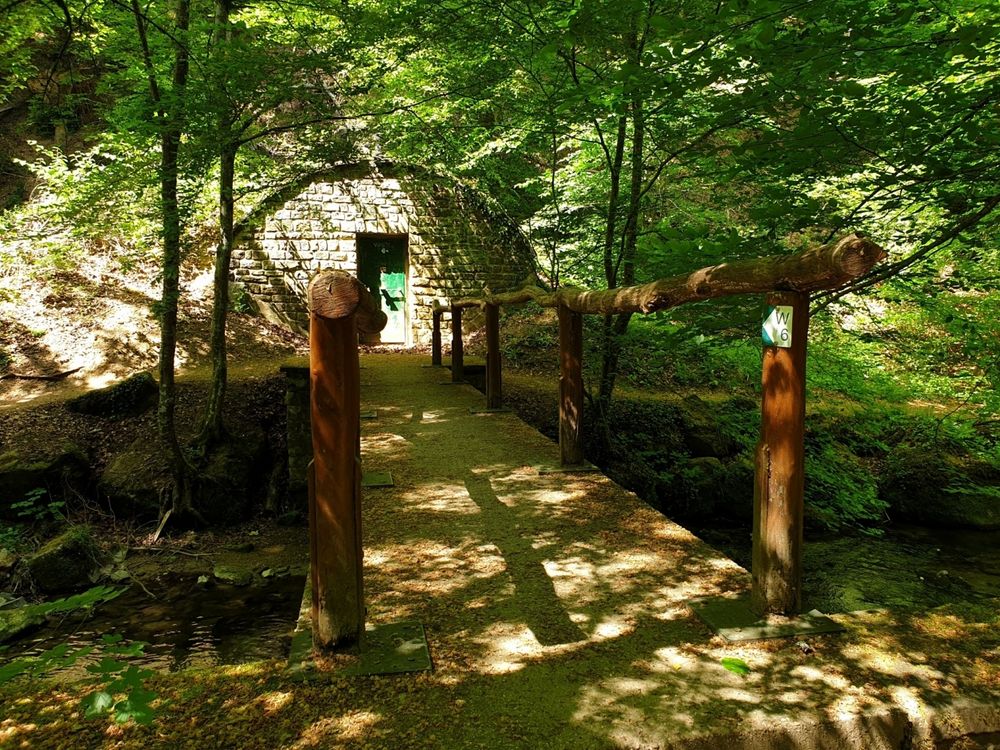
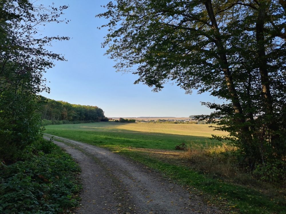
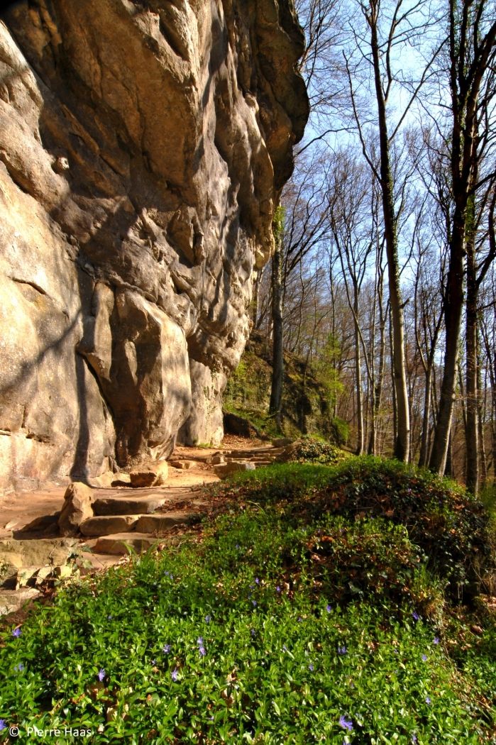
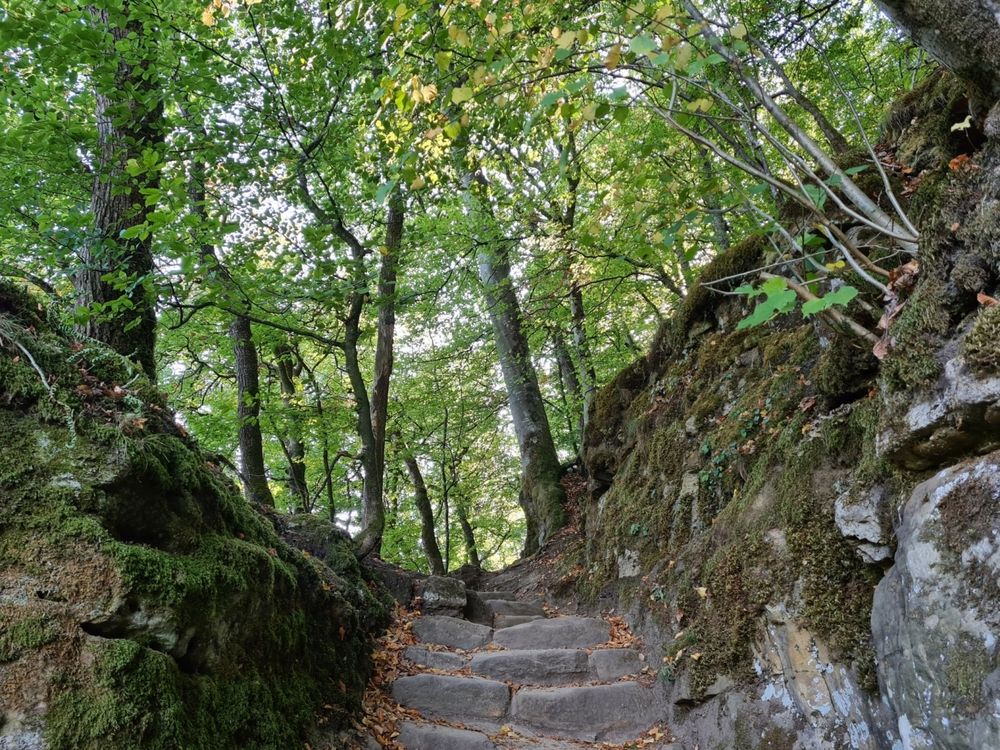
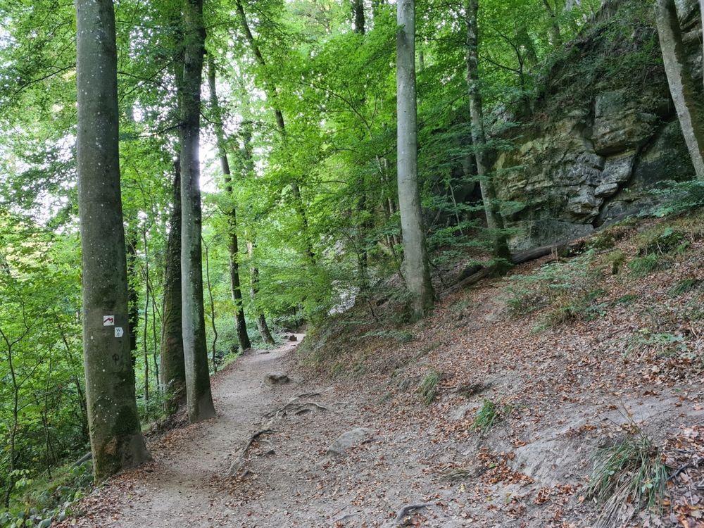
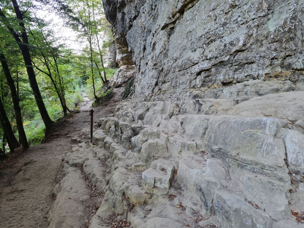
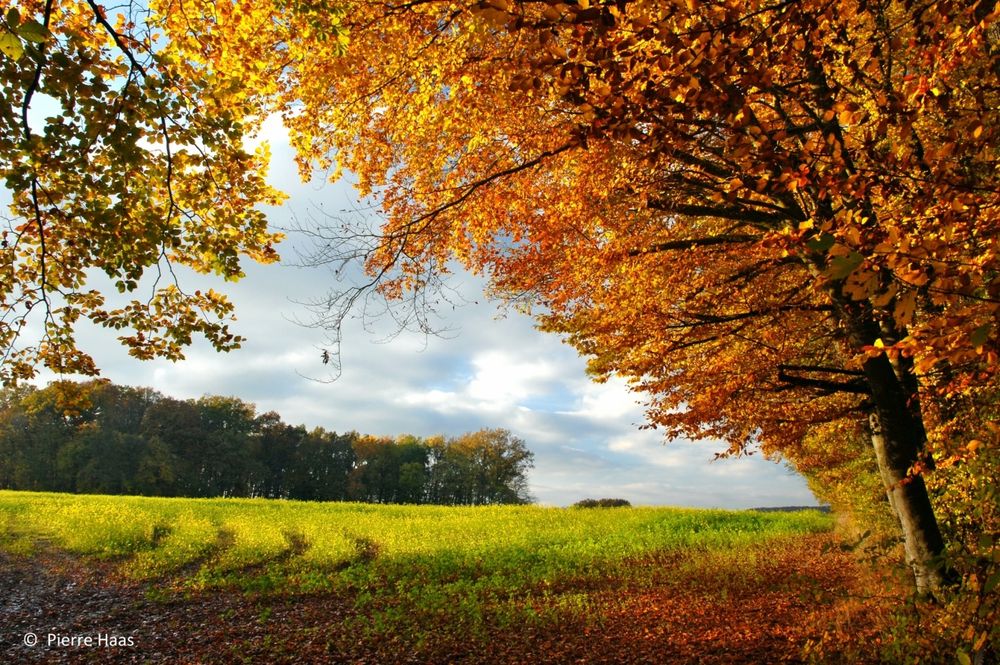
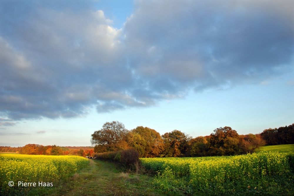
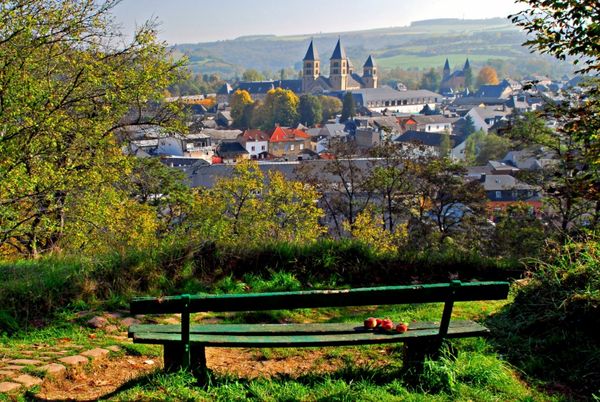
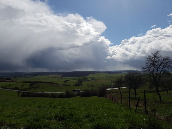
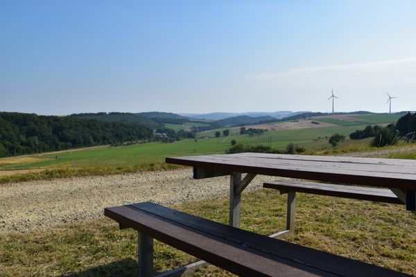
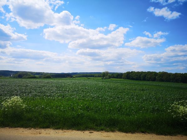
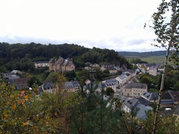
The trail then leads to the plateau between Christnach and Waldbillig, where there is a wide view over fields and meadows. The last part back to the starting point leads again through the forest, along the impressive sandstone rocks typical for the Mullerthal region - Little Luxembourg Switzerland.
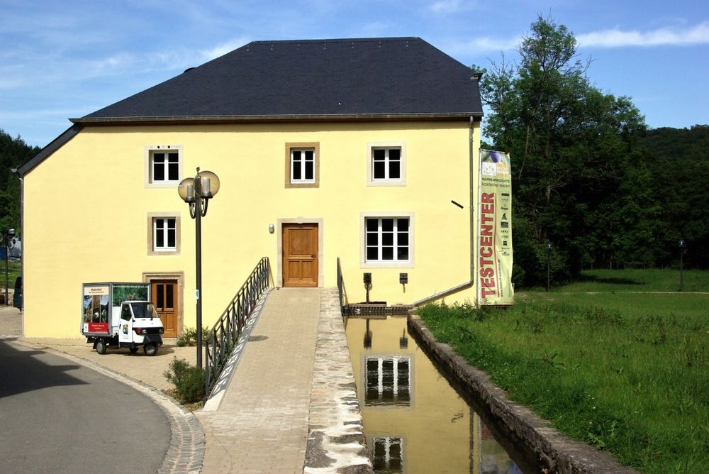
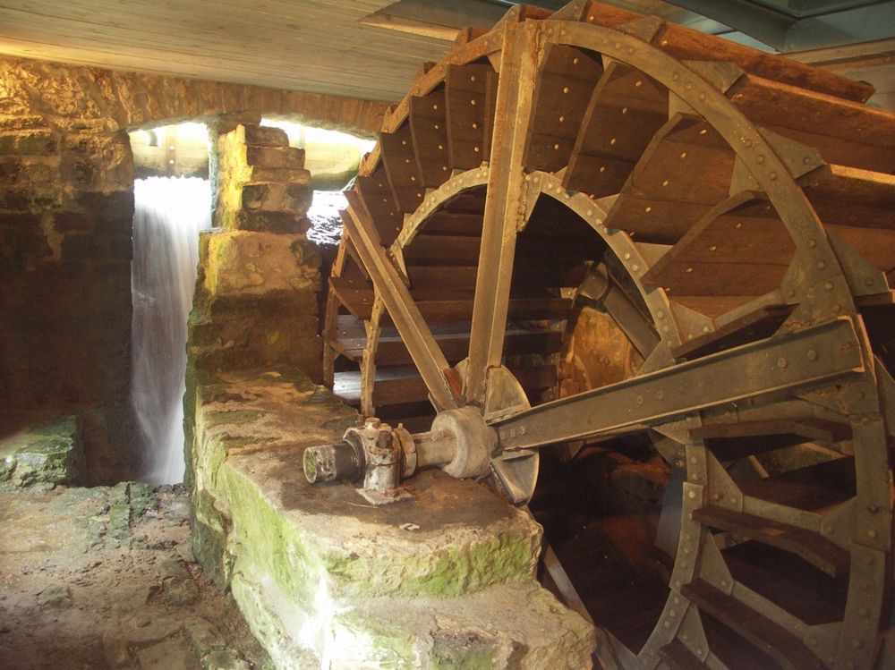
After the walk, pop into the Touristcenter Heringer Millen. The well restored 17th-century grain mill offers a wide selection of regional products.
Directions
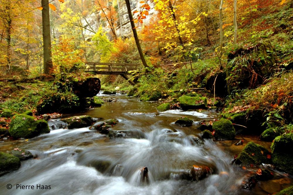
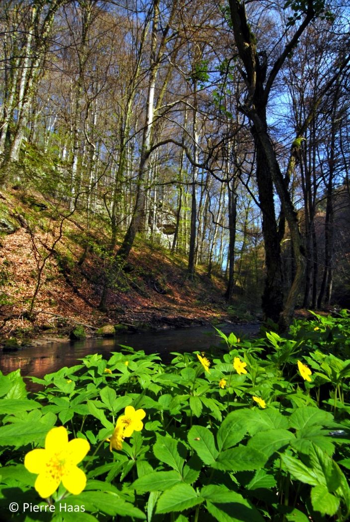
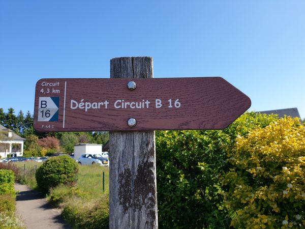
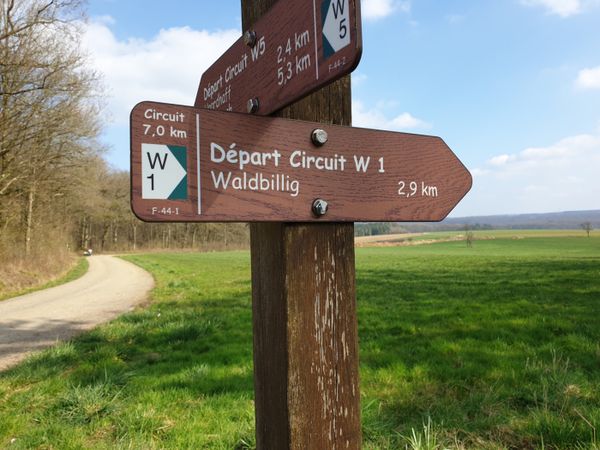
From Mullerthal, the path leads along the stream to the Schiessentümpel waterfall, whose motif with the picturesque stone bridge over the Schwarze Ernz is known far beyond the borders of Luxembourg. Then follows a gentle ascent through the forest to the plateau between Christnach and Waldbillig, where there is a wide view over fields and meadows, and you can perhaps watch a game on the Christnach golf course. On narrow paths, the way leads back through the forest down to the starting point at the Touristcenter Heringer Millen.
Equipment
Sturdy footwear and something to drink.
Journey
Nearest bus stop: Mullerthal (150m)
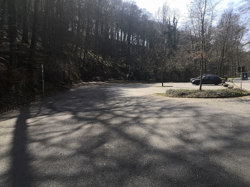
Parking:
A parking lot is located directly at the starting point.


 This website uses technology and content from the Outdooractive Platform.