Description
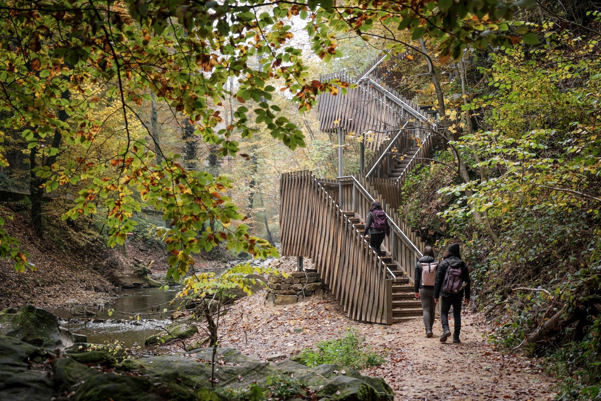
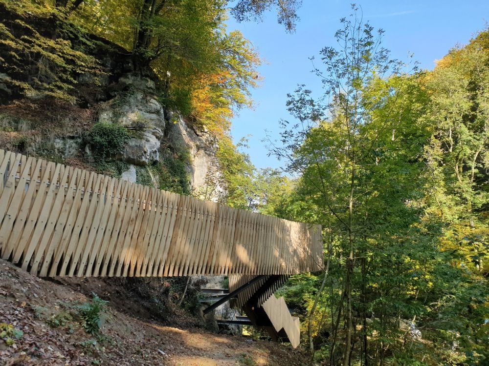
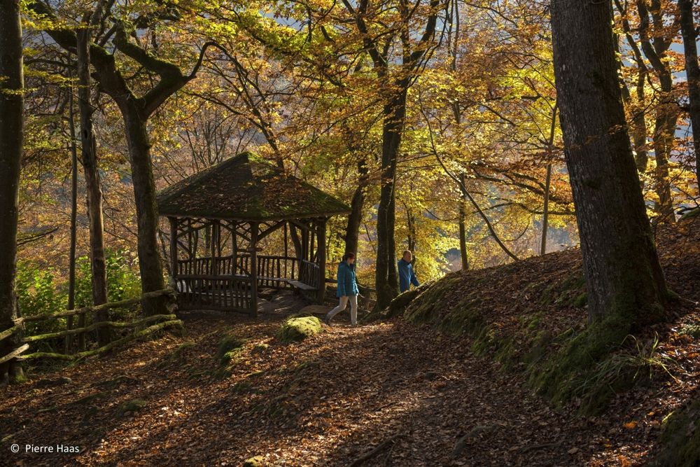
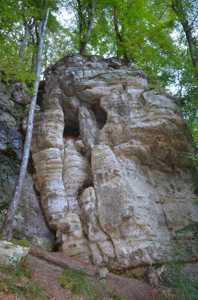
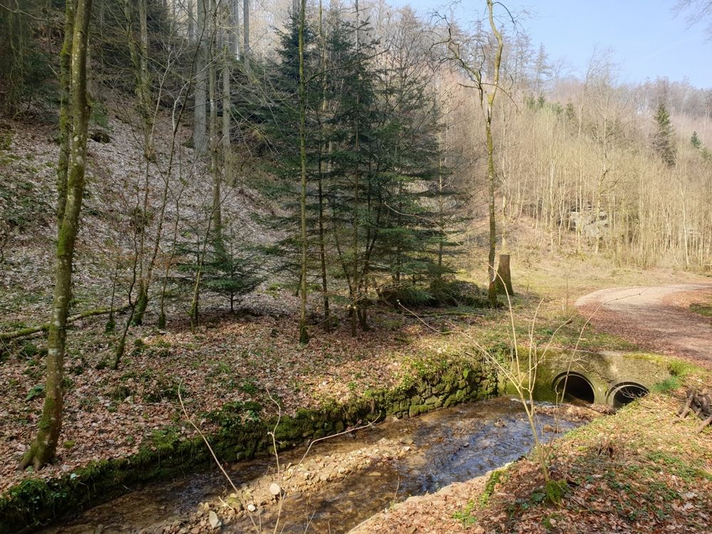
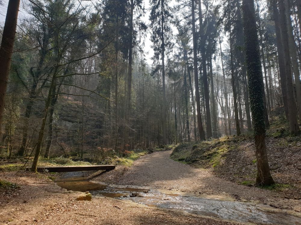
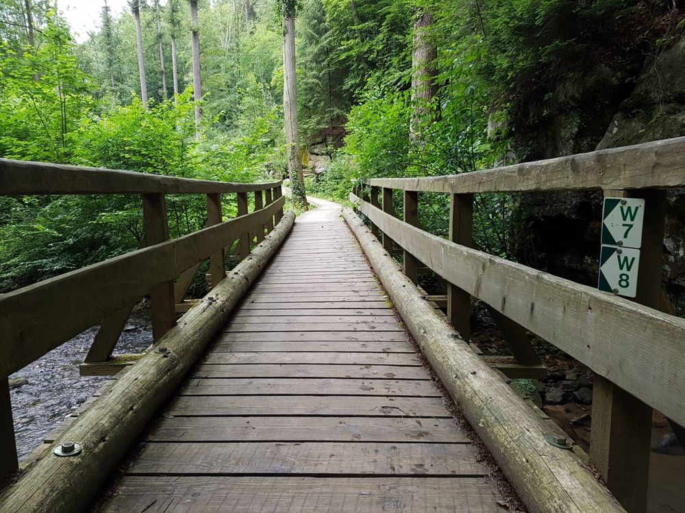
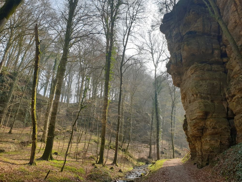
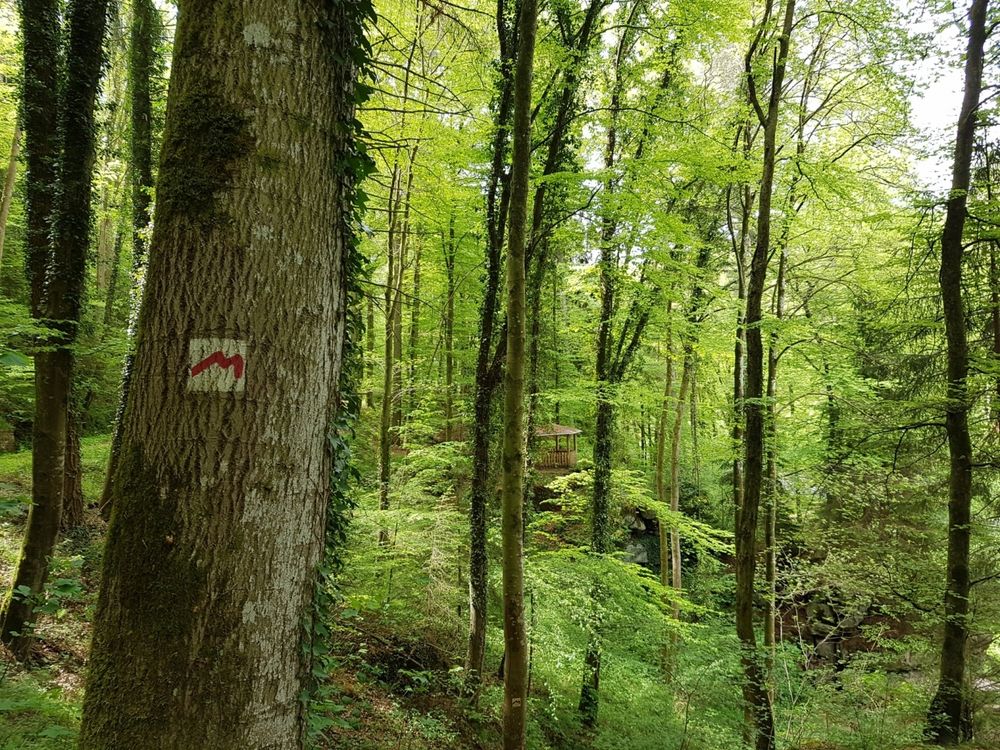
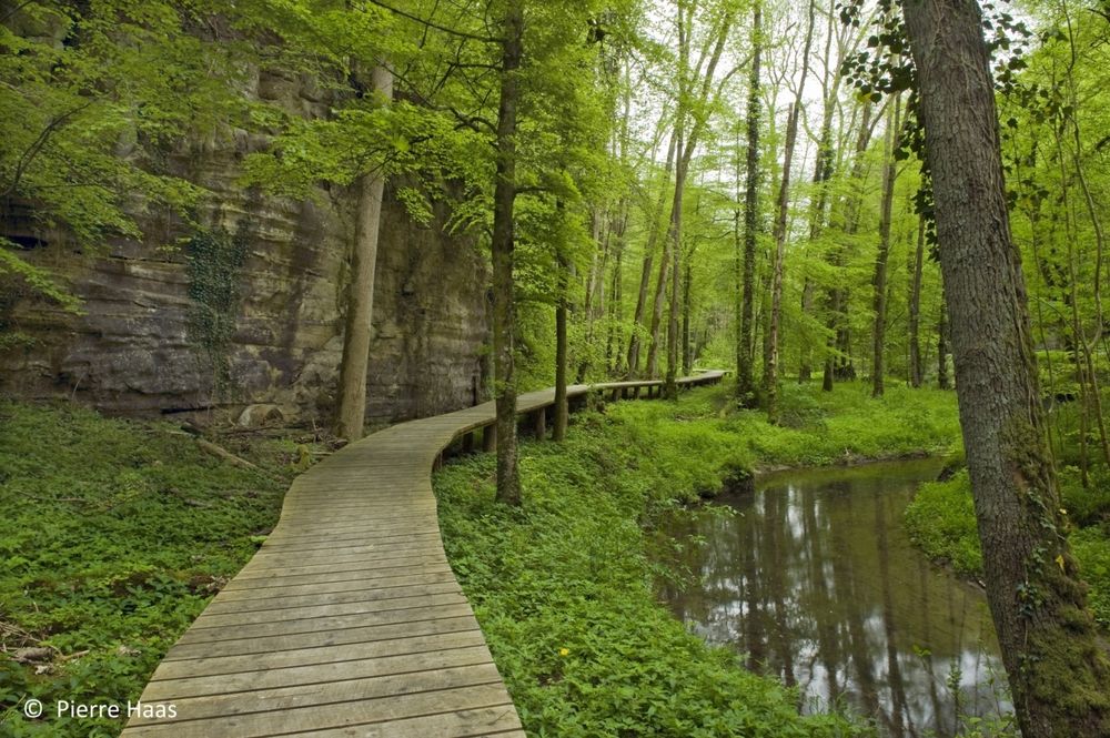
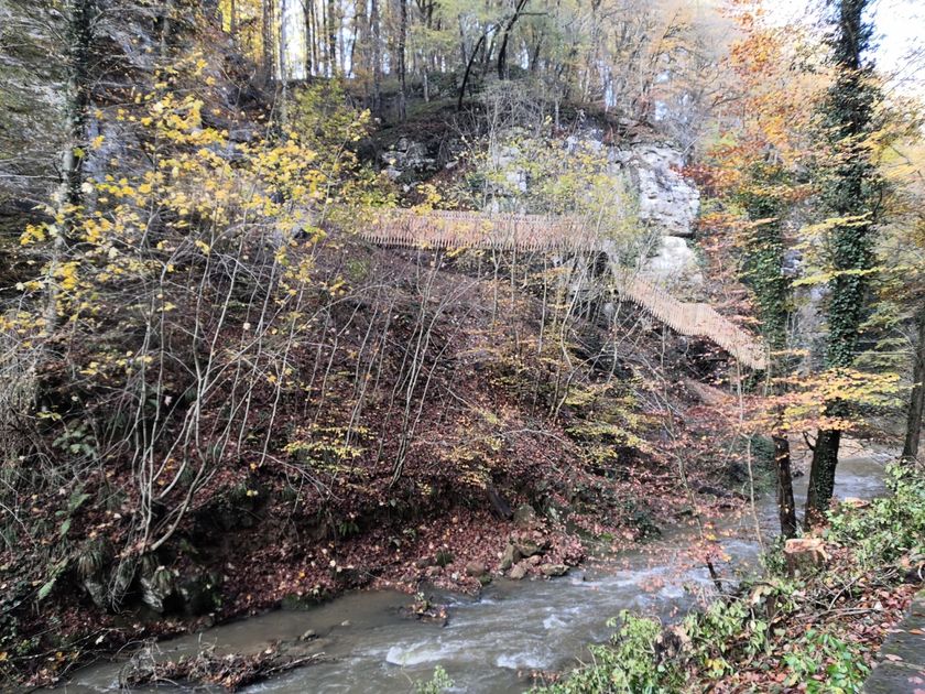
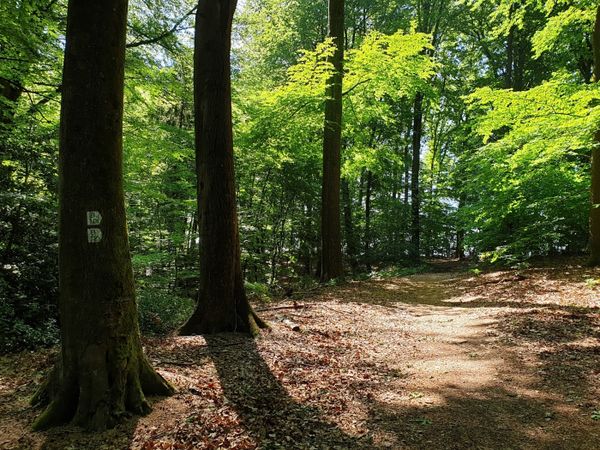
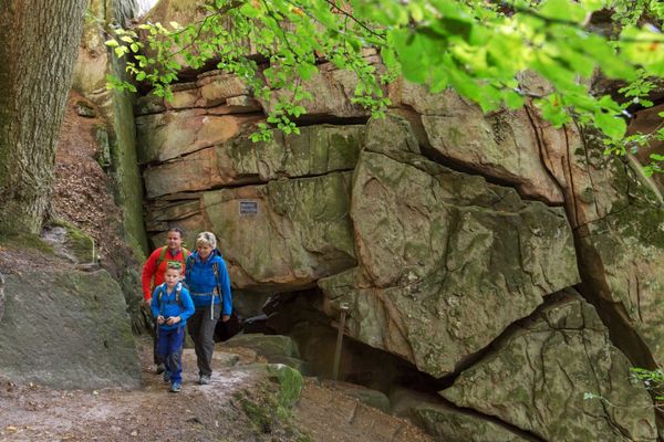
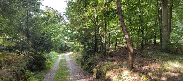
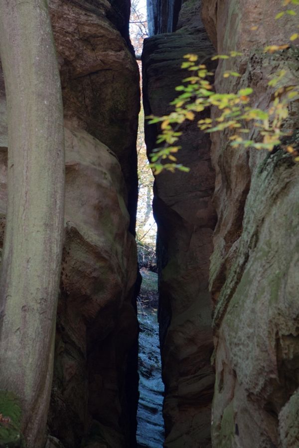
This hike starts with a steep climb to a wooden hut in the forest. It continues on narrow paths along numerous rock formations and bubbling streams.
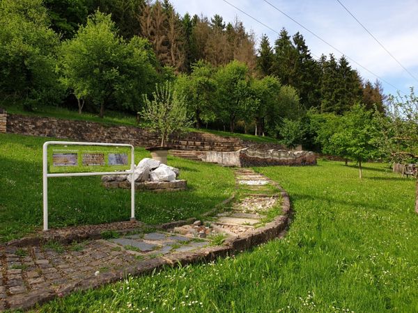
The second half of the hike offers one highlight after another. After a descent through the forest, you reach the Black Ernz and pass the site of the Loschbour man’s skeleton, who lived here around 8000 years ago.
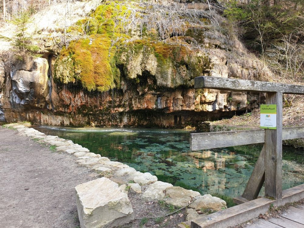
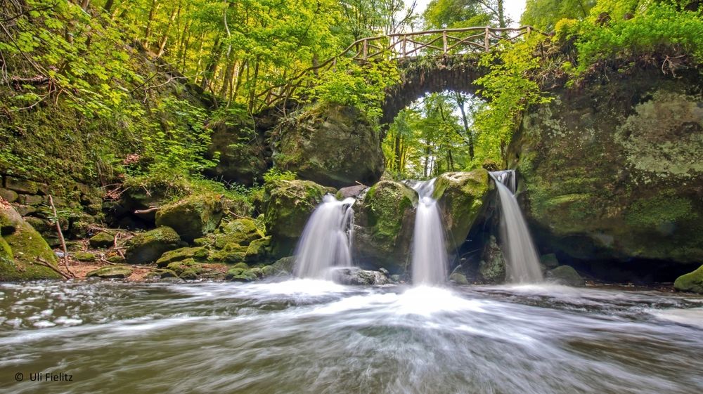
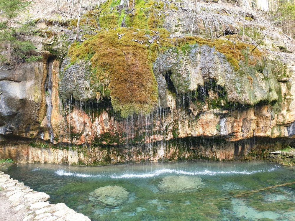
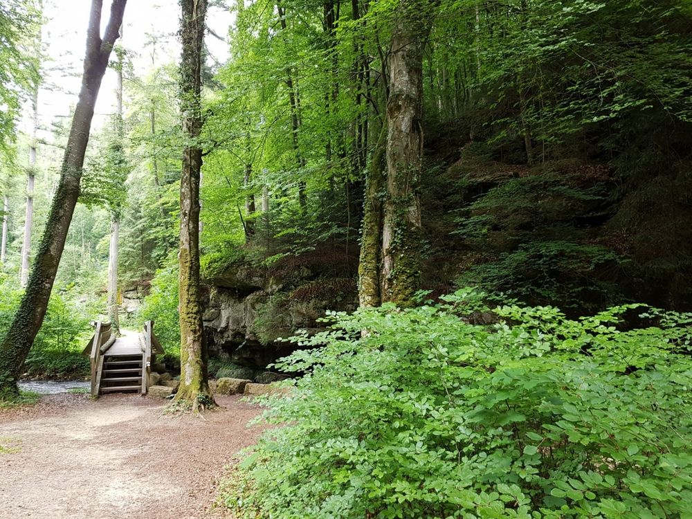
Via a wooden footbridge, you reach the impressive tufa spring, where a stream gently cascades over the rock ledge into a crystal-clear pond. The crowning finale is the region’s showcase – Little Luxembourg Switzerland – the Schiessentümpel with its picturesque stone bridge over the small waterfall.
Equipment
Sturdy footwear recommended, especially in wet weather.
Journey
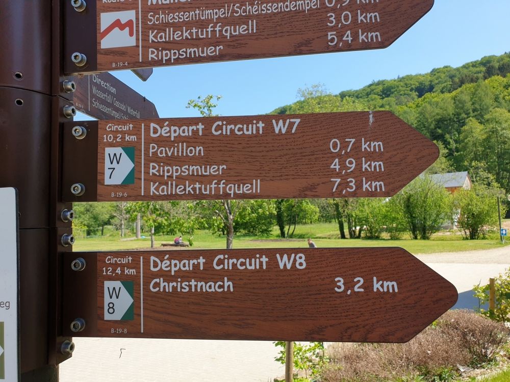
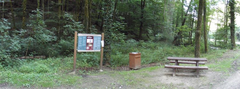
Nearest bus stop: Müllerthal (150m)
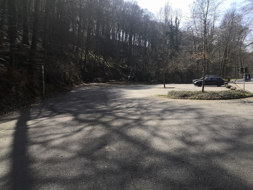
Parking:
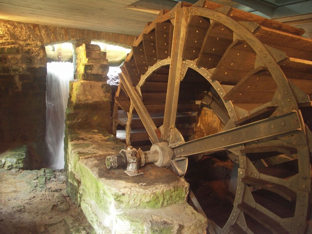
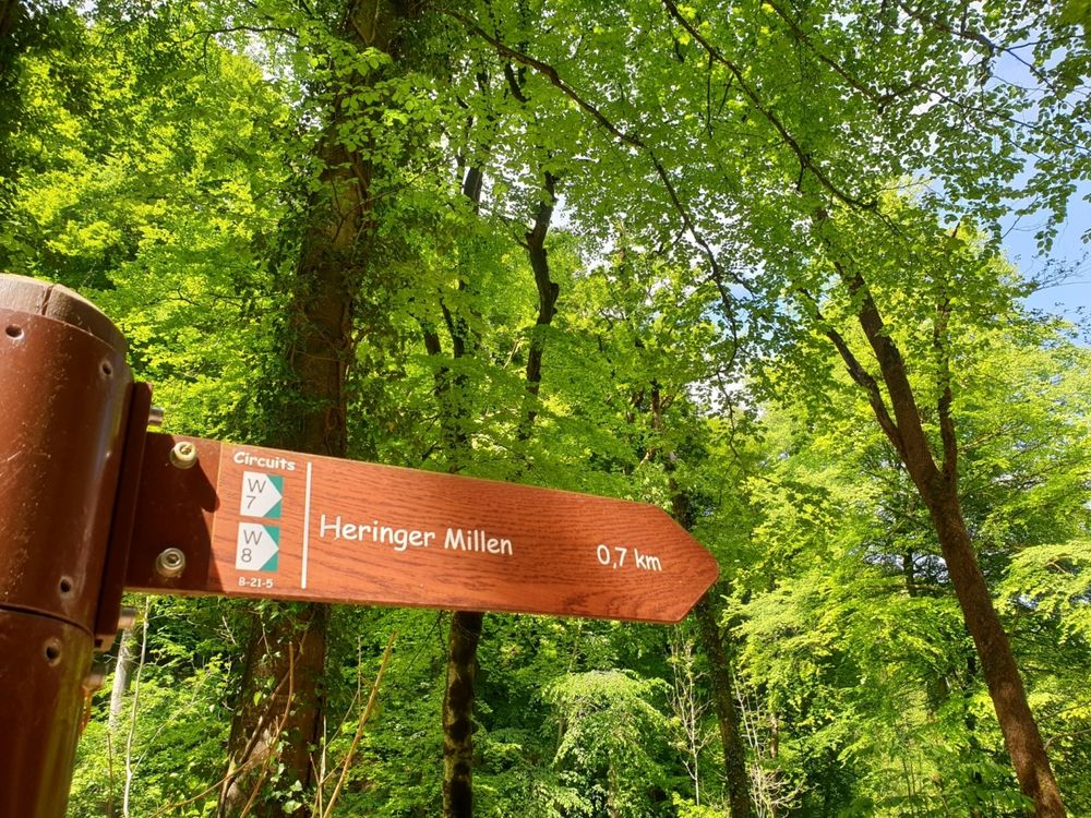
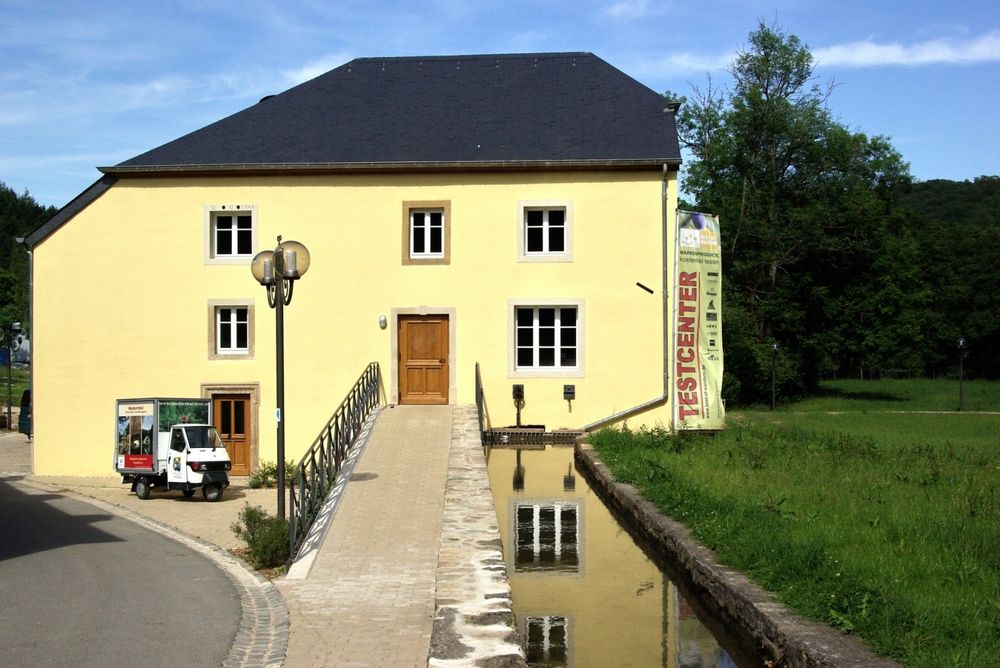
Parking: Heringer Millen


 This website uses technology and content from the Outdooractive Platform.