Circular routes Visit Luxembourg
Description
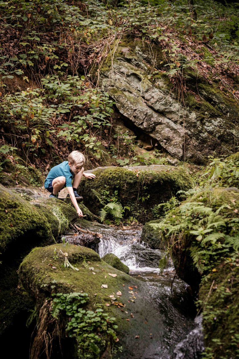
This hiking route takes you on an enchanting journey through the rocky landscape of Beaufort and along the bubbling Halerbaach.
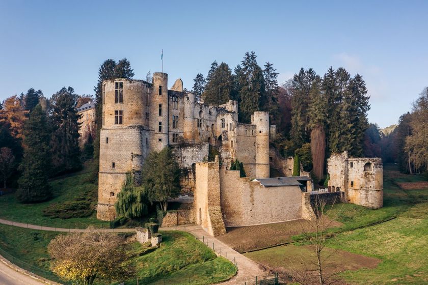
This hiking route takes you on an enchanting journey through the rocky landscape of Beaufort, along the bubbling Halerbaach – a wild romantic stream valley typical for the region. The path runs mostly through the forest and towards the end goes a short uphill section onto the Beaufort plateau. The hike takes about 2 hours and can be perfectly combined with a visit to the castles in Beaufort.
Equipment
Sturdy footwear
Journey
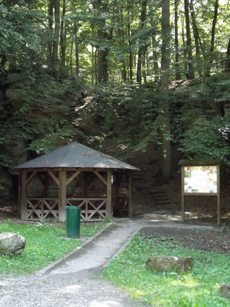
Parking:
There is a parking lot directly at the starting point.


 This website uses technology and content from the Outdooractive Platform.