Description
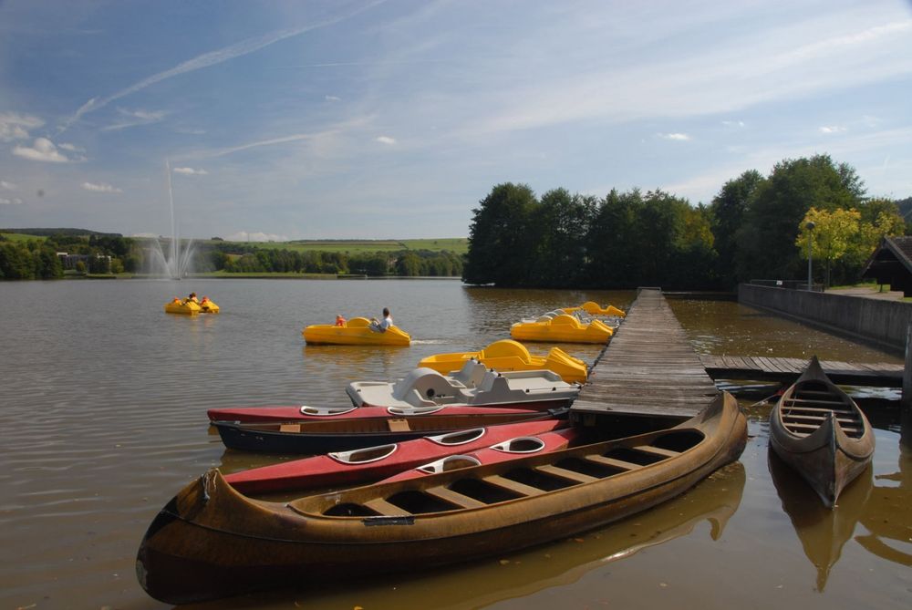
If a walk around the lake is not enough for you, this sportive hike is the perfect alternative.
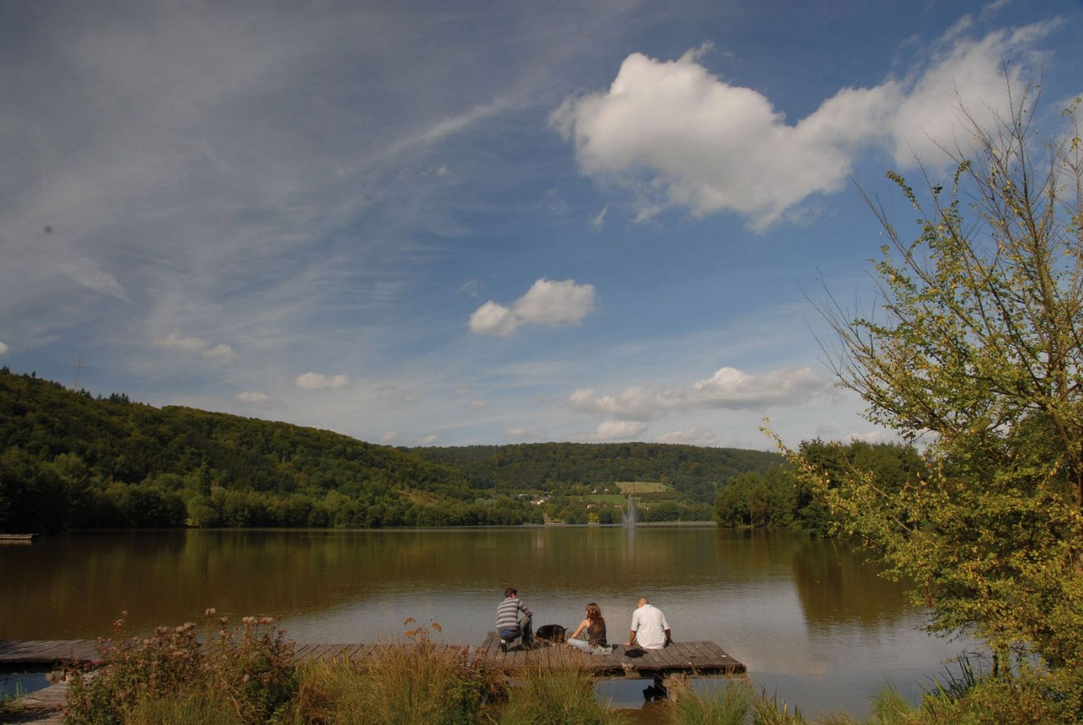
The circular hiking trail starts at Echternach lake and begins with a challenging ascent through the forest until you reach the highest point of the hike (350m, after about 2.5 km). You are rewarded with resting opportunities. The second part of the hike then leads back downhill to the lake, which you circle about halfway to get back to the starting point.
Directions
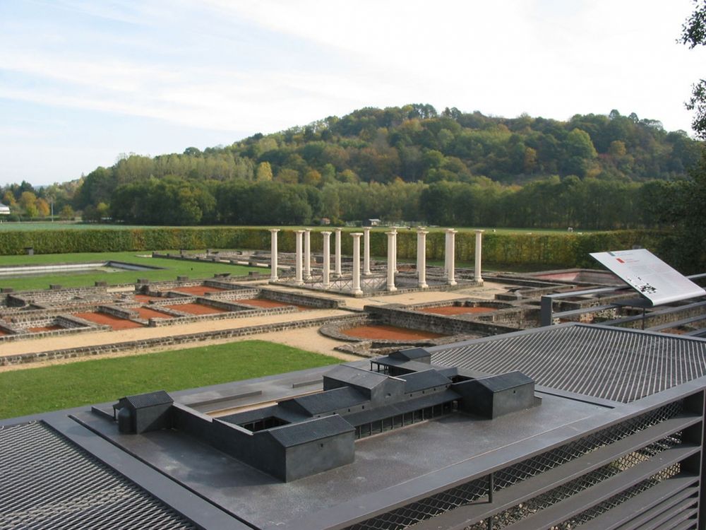
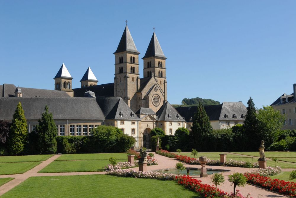
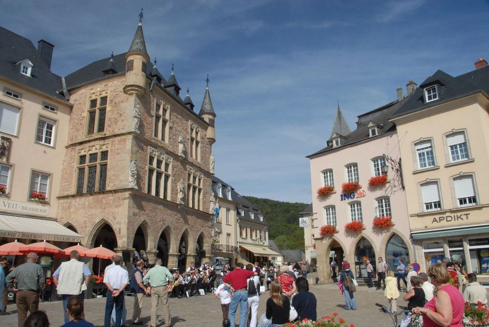
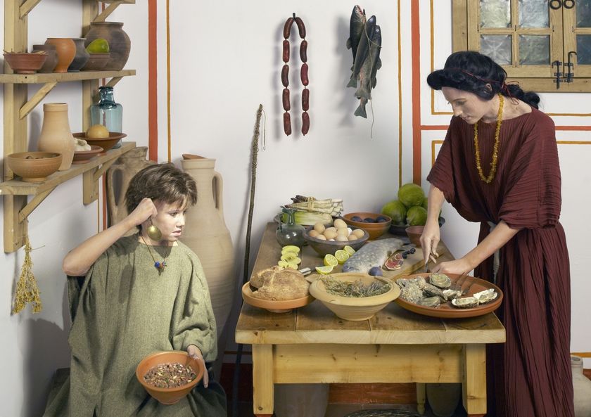
From the starting point "P&R Millenoacht um Séi" you reach the friendly designed entrance area of the lake and climb steeply uphill through a hollow path, where you feel like in a fairy tale forest, to the Haard plateau. Here, often, except in extreme weather conditions, Ardennes horses can be observed working in the forest. Moving tree trunks with horses instead of machines contributes to forest protection. Following the signage (blue arrow on white background), a shelter made of tree trunks with a picnic bench soon invites you to rest. From the viewpoint at the rock edge, you can let your gaze wander over the Echternach valley basin with the town center and lake, the Thoull hill, and the Ernzerberg. After the challenging descent through the forest, you reach the six-hectare "Sortenbongert" (orchard meadow) created in cooperation between the Echternach municipality and the nature and forestry administration. There, where the hiking trail meets the lakeside path again, the company grounds of the "Société des Eaux Minérales d’Échternach" were located at the beginning of the 20th century. Here, the spring water from the Haard mountain was bottled and sold as table and medicinal water. The spring house in the style of a Roman temple is worth a small detour from the path. Continuing along the lakeside path, you reach the year-round open Echternach sports hostel with its 14-meter-high climbing wall and outdoor trampoline park. The lakeside path meets the remains of the Villa Romaine near the "Schwarzuecht", one of the largest and richest estates of Roman Trier. The museum with a small information center offers a vivid and detailed picture of daily life in Roman times. Tip: From the museum's open roof terrace, you can overlook the entire site. After a short distance, the AP Echternach/Lac returns to the entrance area of the lake.
Equipment
Sturdy footwear and something to drink.
Journey
Nearest bus stop: Echternach, Nonnemillen
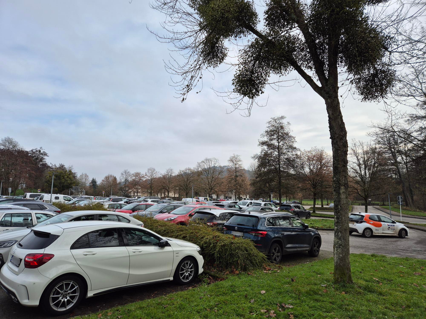
Parking:
A parking lot is located directly at the starting point.


 This website uses technology and content from the Outdooractive Platform.