
Circular routes Visit Luxembourg
Description
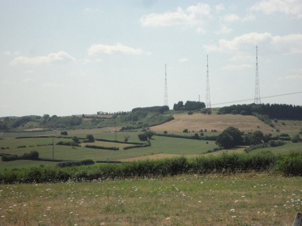
Unexciting circular hiking trail with a lot of variety between open land and forest.
After conquering Zwéckekopp, this route goes through the Eechhëlz forest, following the national hiking trail "Sentier du Méllerdall" to Godbrange and back via the Schëddelbierg.
Signposting

Equipment
Sturdy footwear and something to drink.
Journey
Public transport:
Parking:
Nearest bus stop: Junglinster, Gemeng
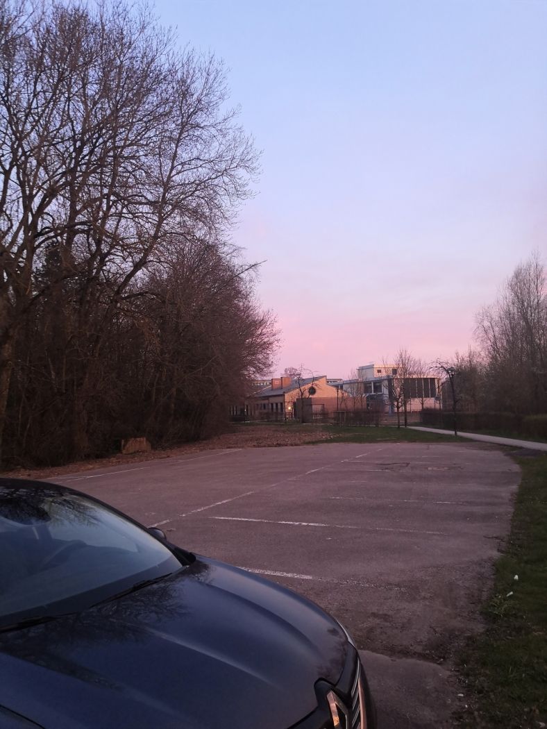
Parking:
A parking lot is located right at the starting point.


 This website uses technology and content from the Outdooractive Platform.