©ORTMPSL, ORTMPSL
Müllerthal Germany France

Local hiking path - B4

Hunting Season 2025/26 — Check for hunts

Autumn is here, and that means hunting season has begun! From mid-October to January/February, hunters are active across the country. Stay safe by checking hunt dates in your area on our Map. 

Click on Map in the Header > Services > More > Hunting.

Starting point

Beaufort: Castle

Destination

Beaufort: Castle

Distance
6,13 km
Duration
1:50 h
Difficulty
medium
  • Condition
Highest point
402 Hm
Lowest point
299 Hm
Aggregated Ascent
108 Hm
Aggregated Descent
108 Hm
Circular routes

Description

Refreshment stops available

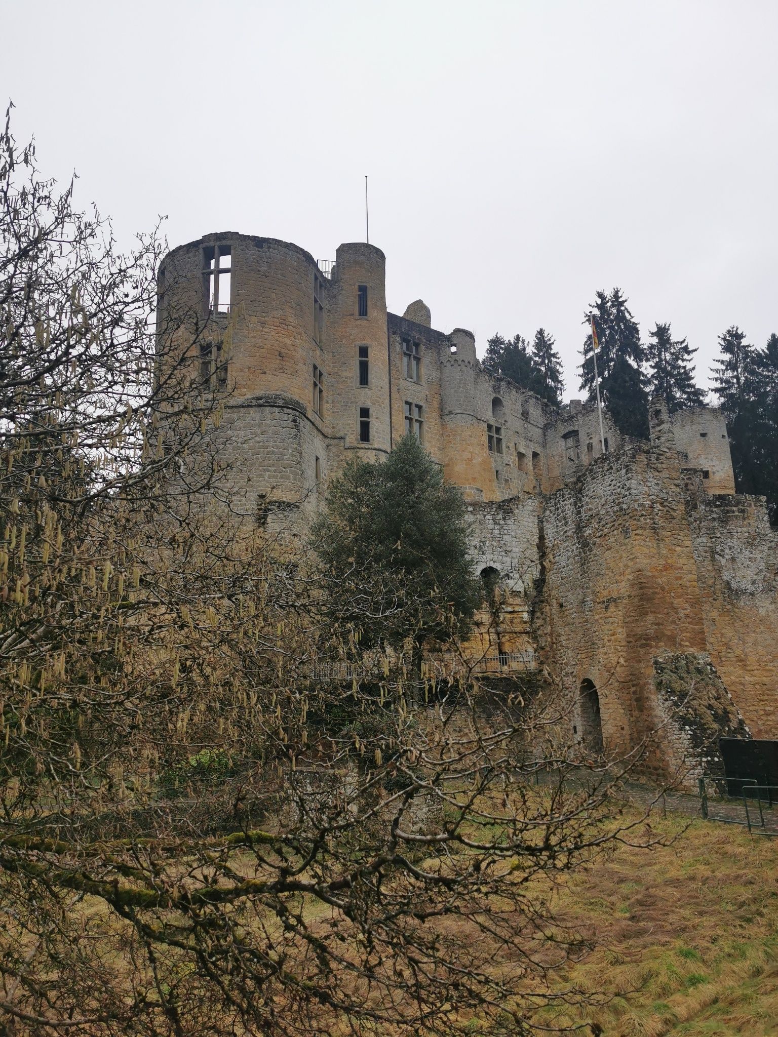
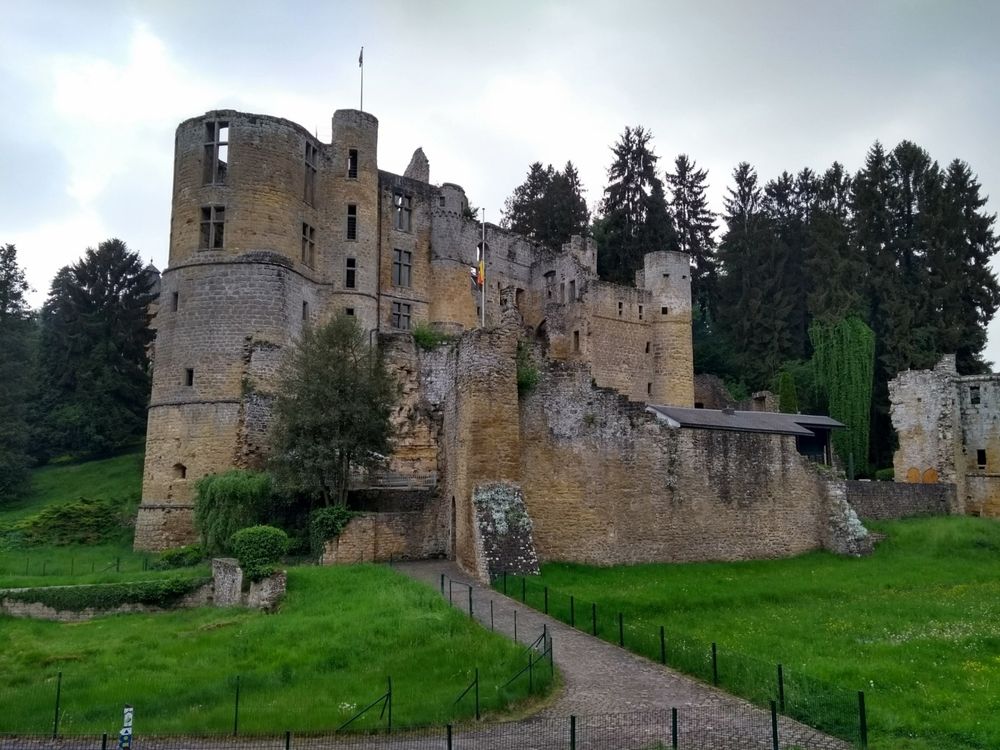
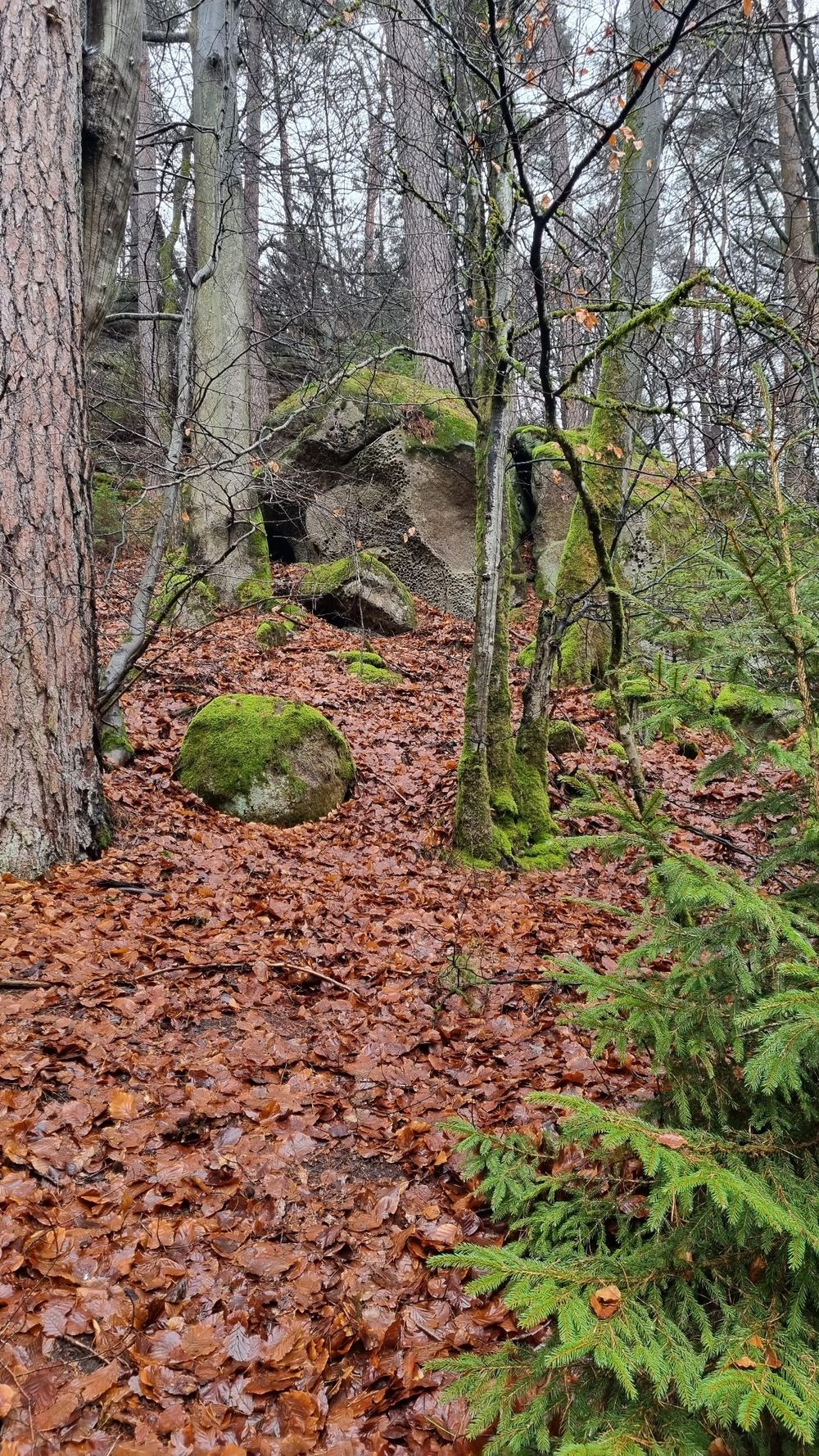
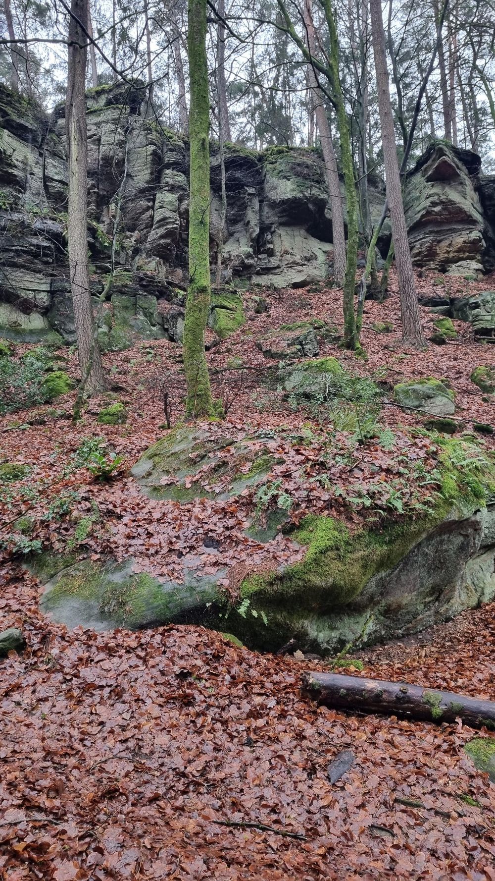
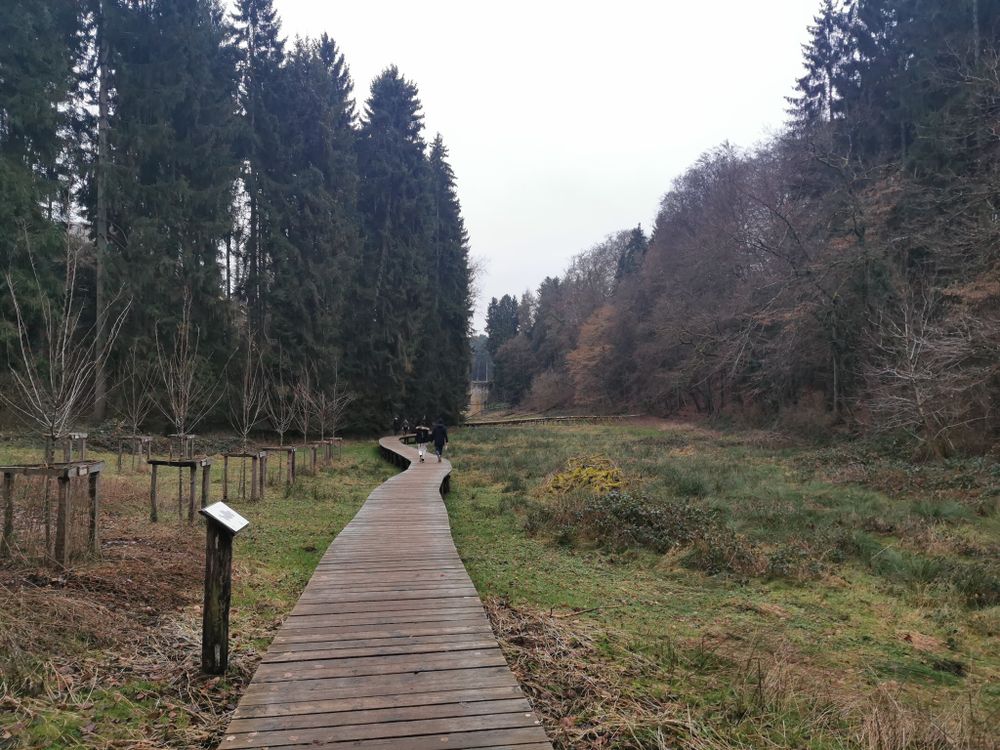
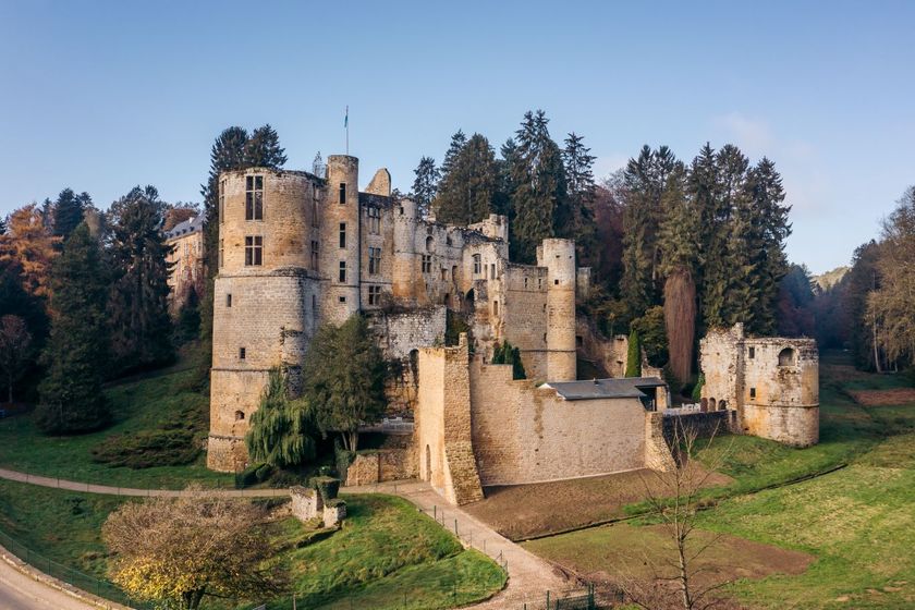
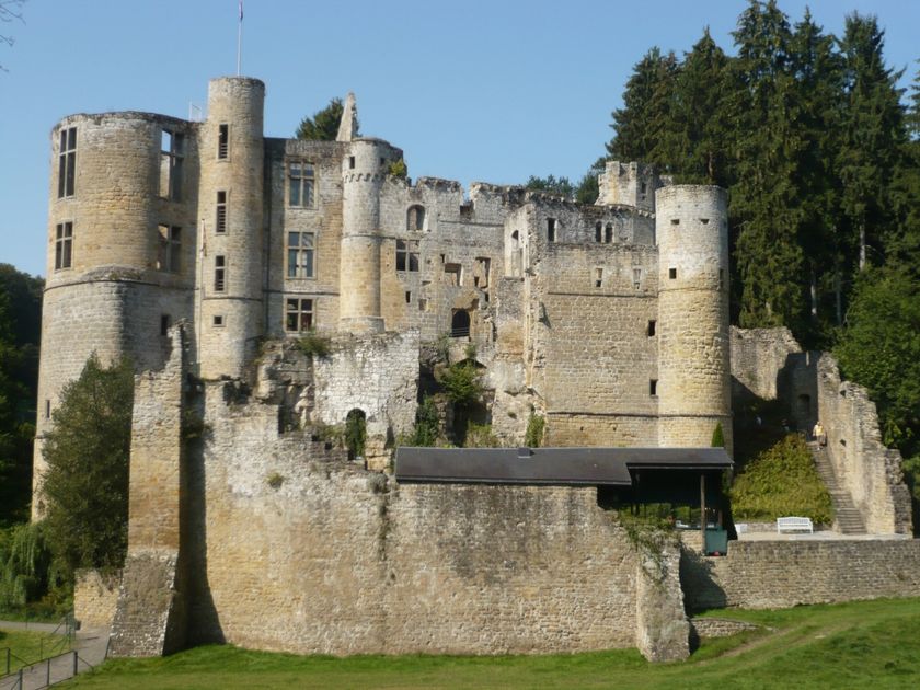
The route starts at Beaufort Castle, passes along the Ale Wéier pond, and offers historical sights.

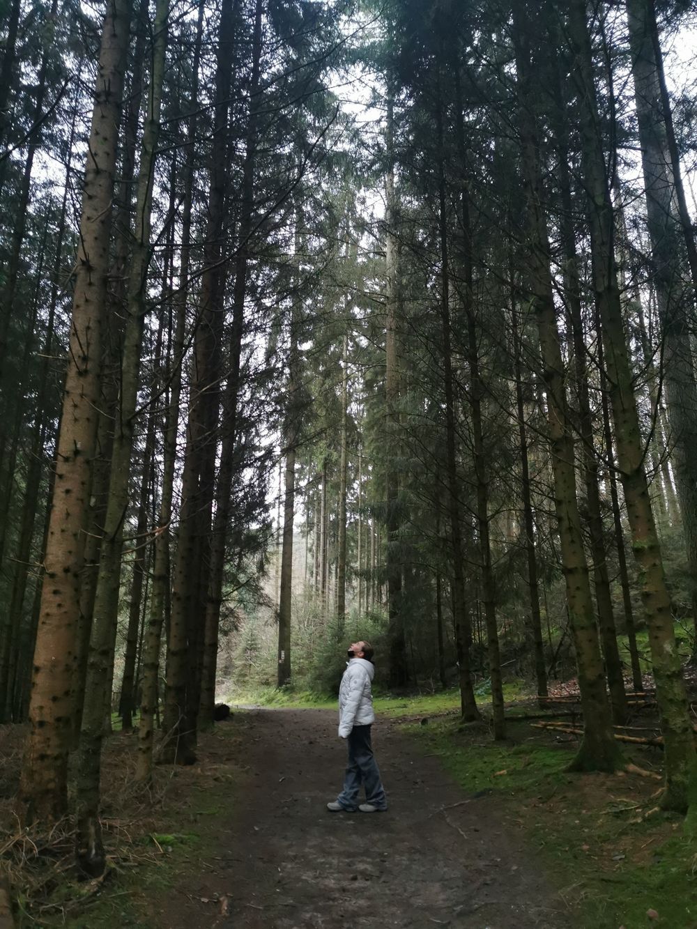
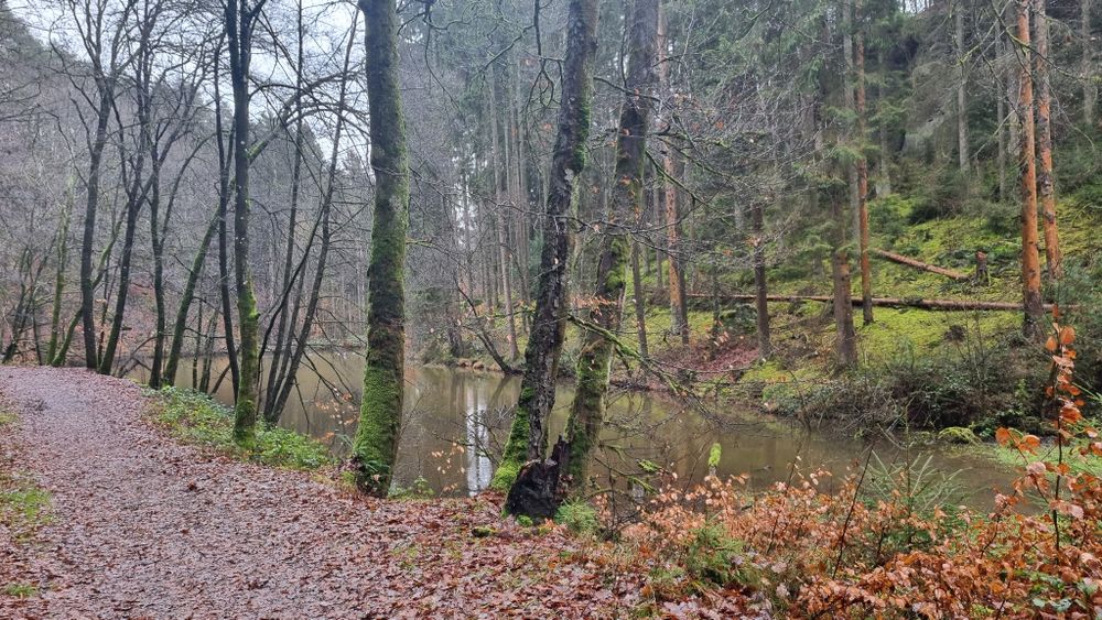
This walk through the forest begins in Rue du Château, initially passes the tipi village at Camping Plage, and continues along the Alebuerg (remains of an old defensive wall) and Haus Berens. The path runs along the Huschbaach and past the Aleweier and Klingelbur (the old washing place of Beaufort Castle). After that, it is not far back to the starting point.

Suggestions nearby

Local hiking path - B4

  • ©Restaurant Hotel Meyer
    Restaurant Meyer
    Restaurant Meyer
    Find out more
  • ©Pancake! Photographie
    Tourist Info Beaufort
    Tourist Info Beaufort
    Find out more
  • ©Camping Park Beaufort
    Aqua Park Beaufort
    Aqua Park Beaufort
    Find out more
  • ©Restaurant de l'Auberge Rustiqu
    Restaurant de l'Auberge Rustique
    Restaurant de l'Auberge Rustique
    Find out more
  • Parking - Castle of Beaufort
    Parking - Castle of Beaufort
    Find out more
  • ©Kuijpers/Frameart
    Liqueur of Beaufort Castle
    Liqueur of Beaufort Castle
    Find out more
  • ©Anne Lommel
    free
    with theLuxembourgPass
    Beaufort Castles
    Immerse yourself in the history of the medieval castle and discover how the last occupant lived in the Renaissance castle.
    Find out more

Similar hiking tours

©Tom Barnich, Visit Berdorf
Circular routes
Local hiking trail - B17
Distance: 6,14 km
Duration: 1:40 h
Difficulty: medium
Find out more
©Visit Luxembourg
Thematic paths
Didactic nature path "Joffer Margot"
Distance: 6,88 km
Duration: 2:00 h
Difficulty: medium
Find out more
©Visit Luxembourg
Thematic paths
Circular hiking trail through the Deiwelskopp nature reserve
Distance: 8,50 km
Duration: 2:27 h
Difficulty: medium
Find out more
©Visit Luxembourg
Circular routes
Local hiking route - F2
Distance: 8,21 km
Duration: 2:30 h
Difficulty: medium
Find out more
©Visit Luxembourg
Circular routes
Local hiking route - B12
Distance: 3,25 km
Duration: 0:55 h
Difficulty: medium
Find out more
©Visit Luxembourg
Circular routes
Local route - B10
Distance: 4,99 km
Duration: 1:20 h
Difficulty: medium
Find out more
©Visit Luxembourg
Circular routes
Local hiking route - E8
Distance: 6,26 km
Duration: 1:40 h
Difficulty: medium
Find out more
©Visit Luxembourg
Circular routes
Local hiking trail - W1
Distance: 6,81 km
Duration: 1:47 h
Difficulty: medium
Find out more
©L. Schömer, Visit Luxembourg
Circular routes
Auto-pédestre trail Bollendorf-Pont
Distance: 8,67 km
Duration: 2:40 h
Difficulty: medium
Find out more
outdooractive This website uses technology and content from the Outdooractive Platform.