Description
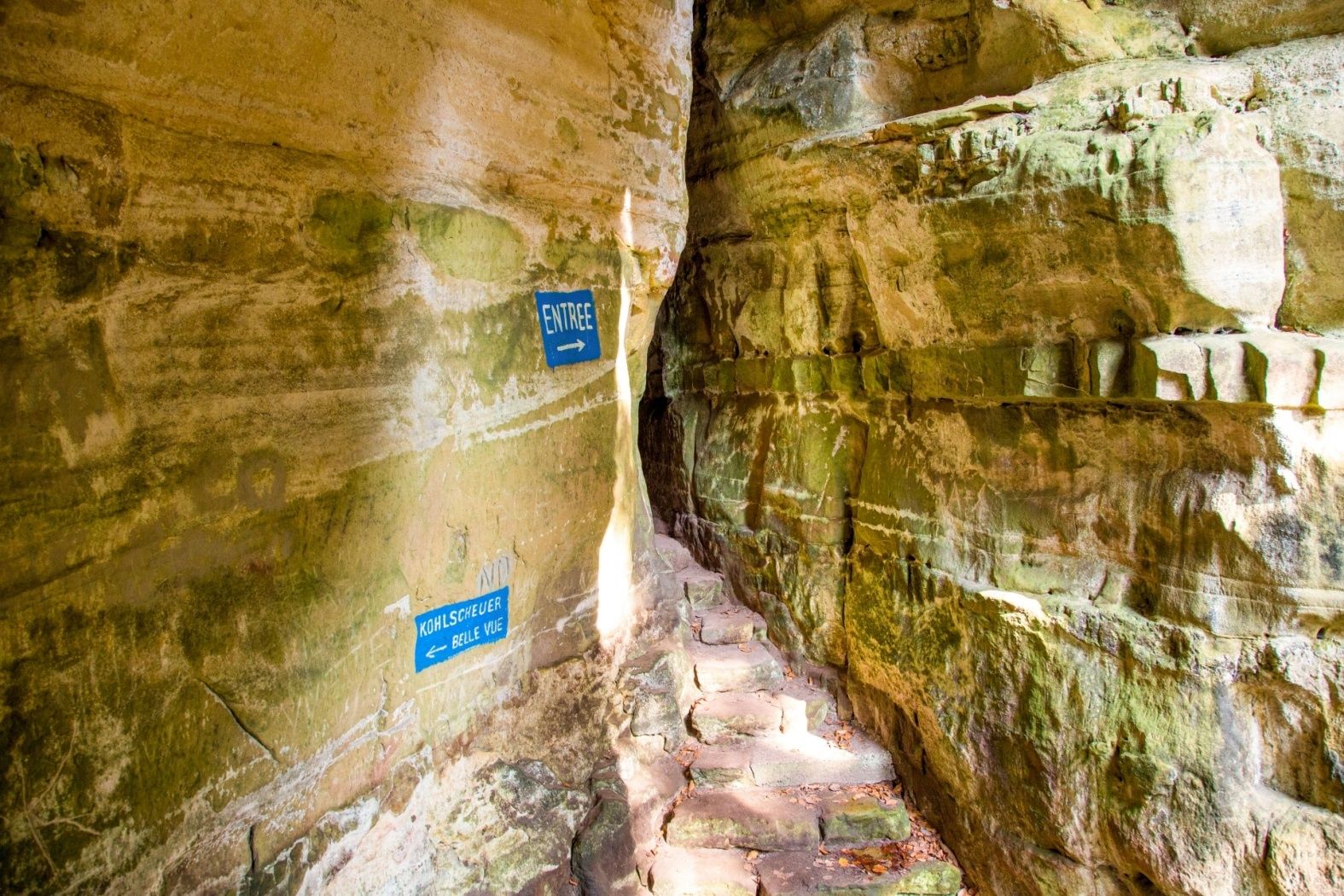
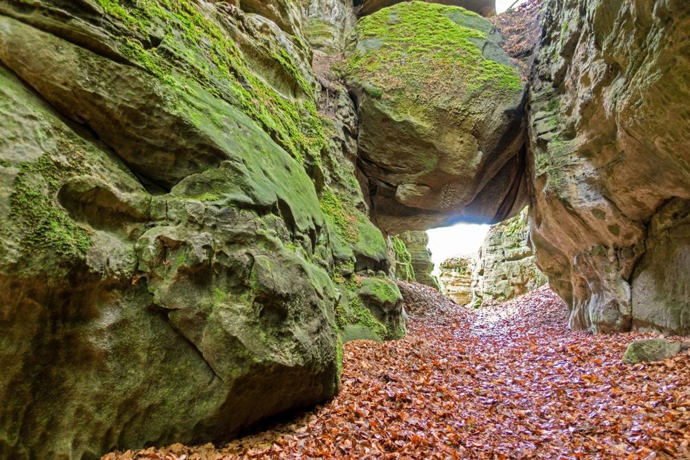
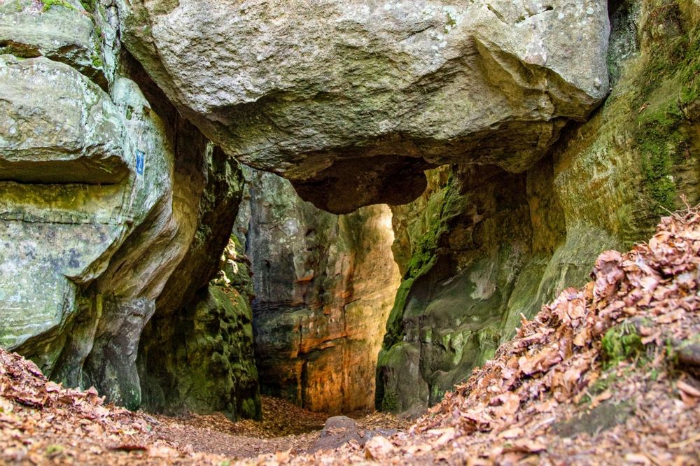
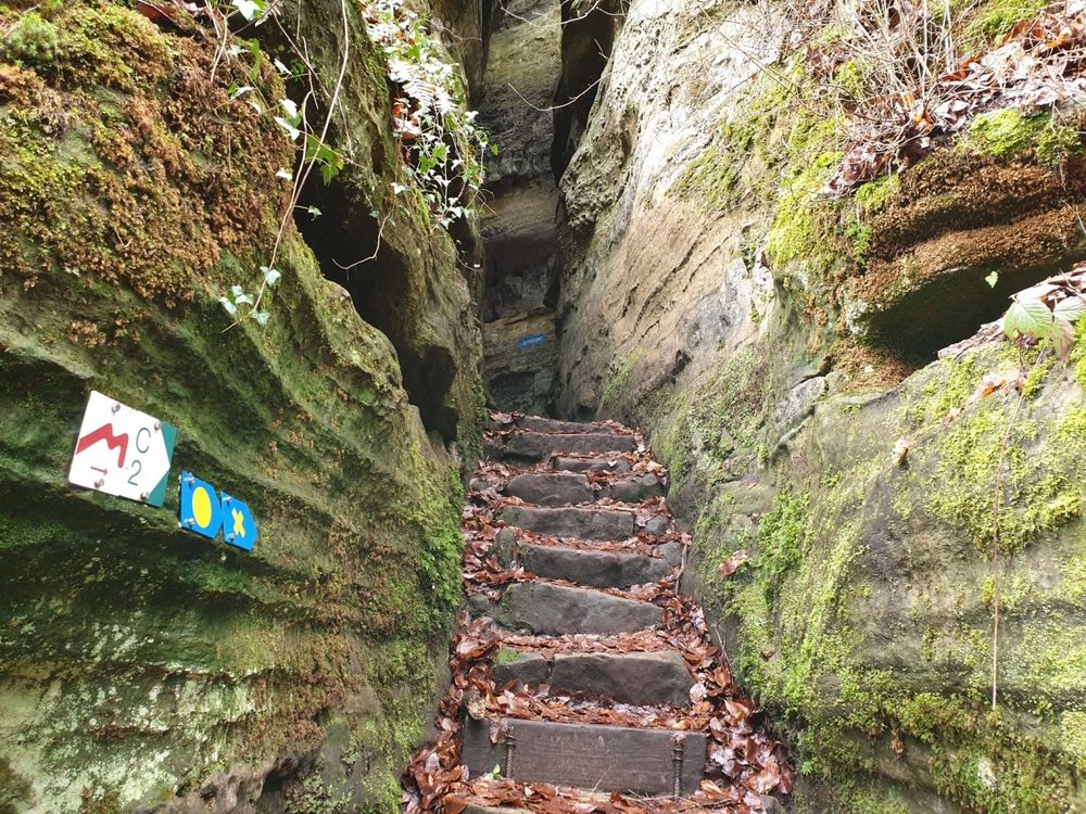
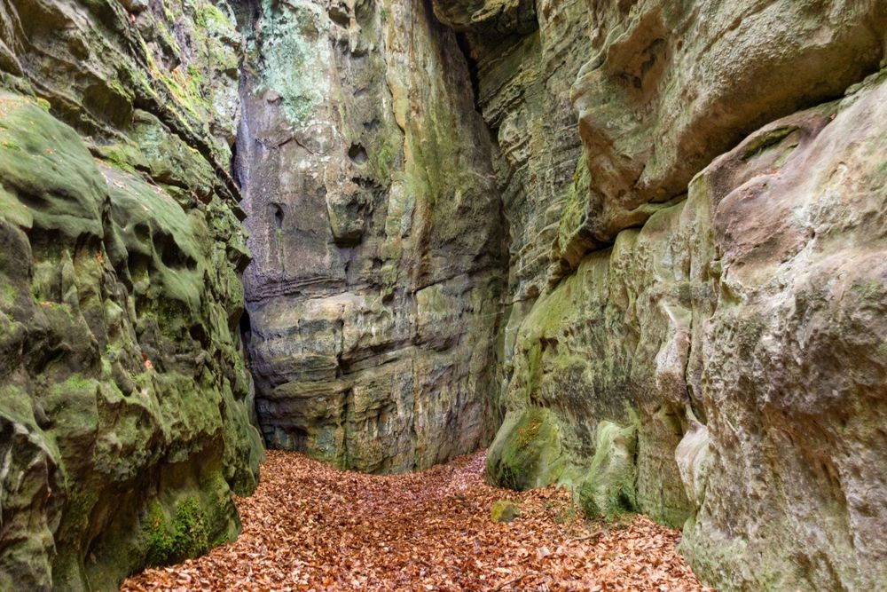
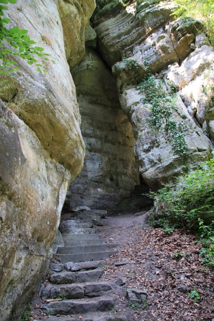
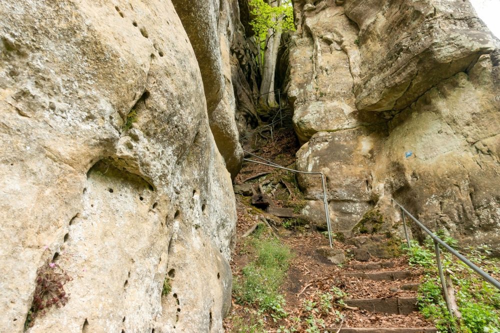
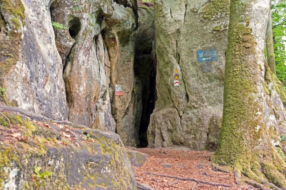
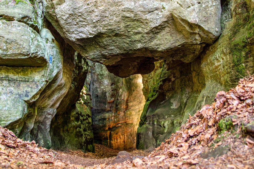
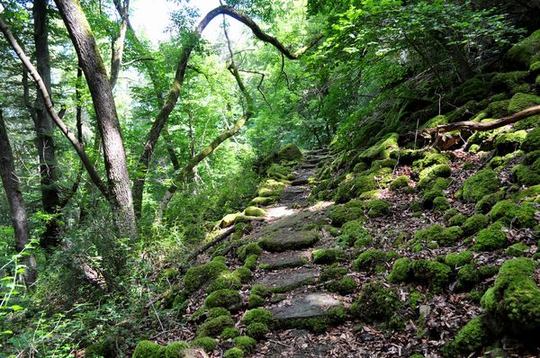
On this adventurous cave route, also called "Adventure Kuelscheier," you pass through narrow rock passages and the pitch-dark, over 100 meters long rock crevice Kuelscheier. A flashlight or phone lamp proves useful on this route! It is possible to bypass the Kuelscheier; for people with claustrophobia, this hiking trail is not recommended.
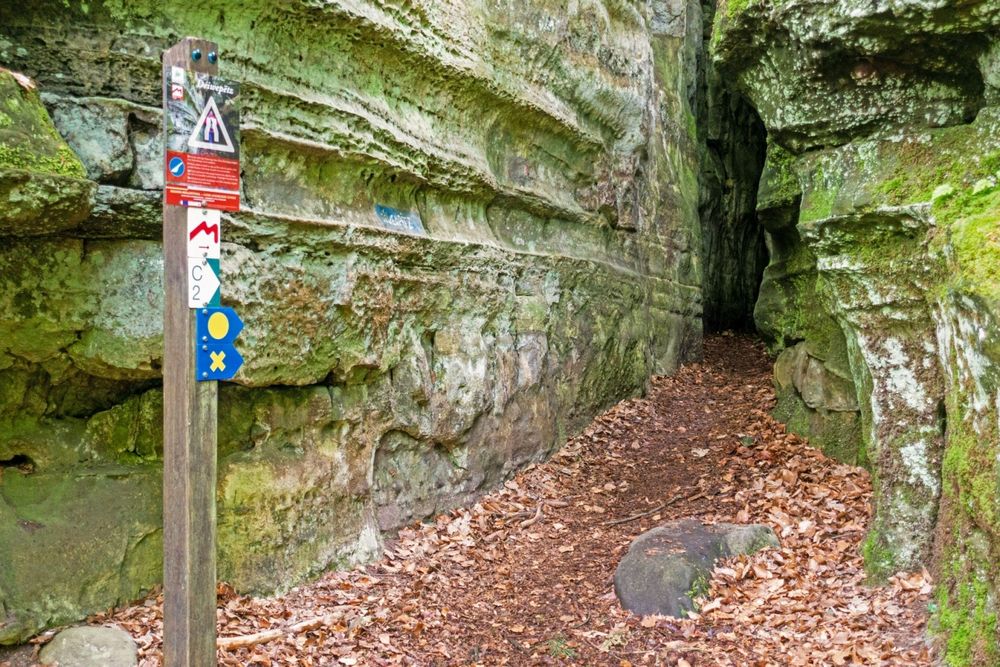
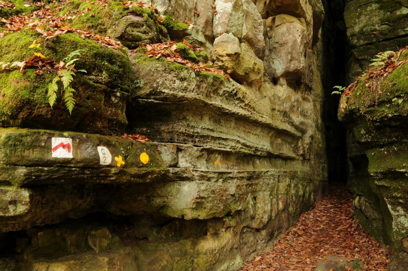
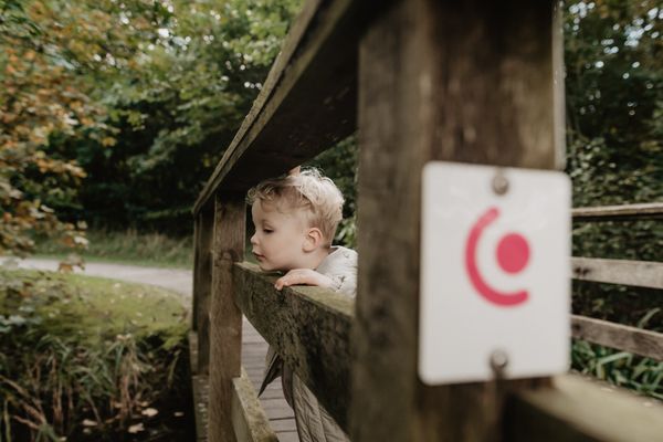
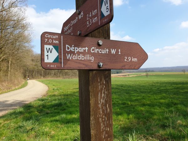
Signposting
Directions
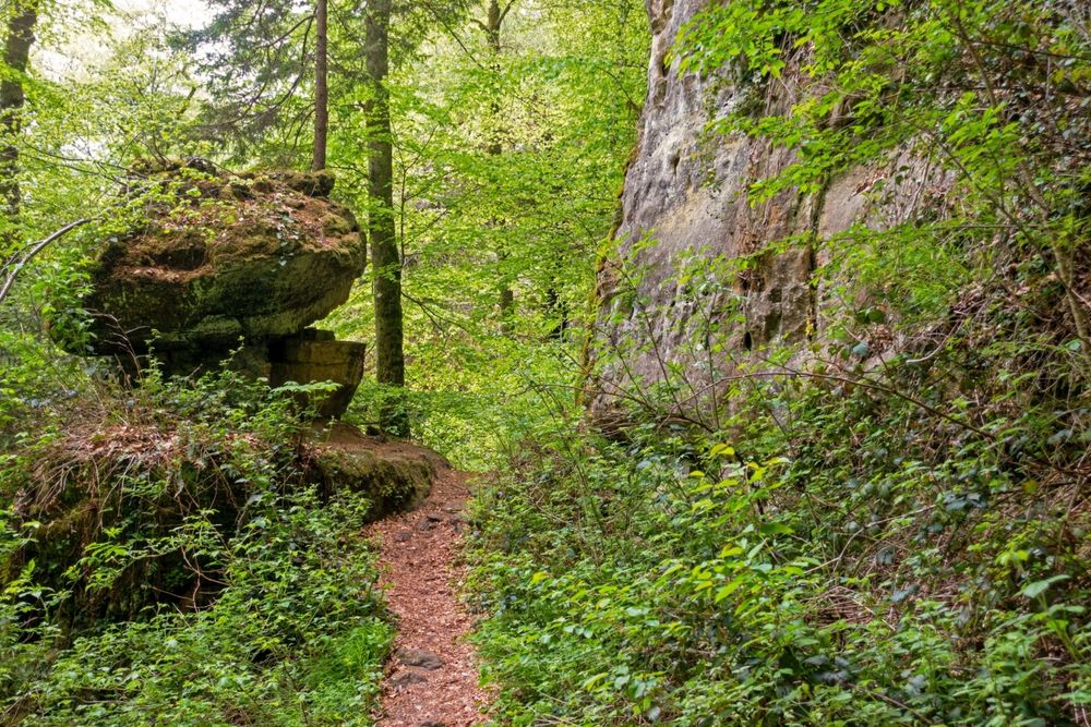
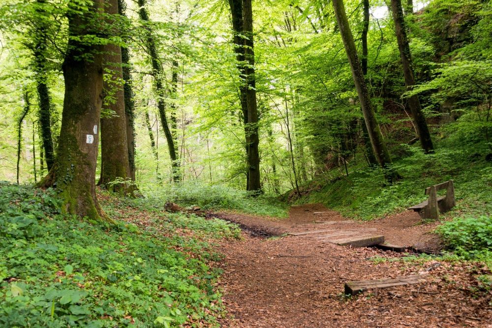
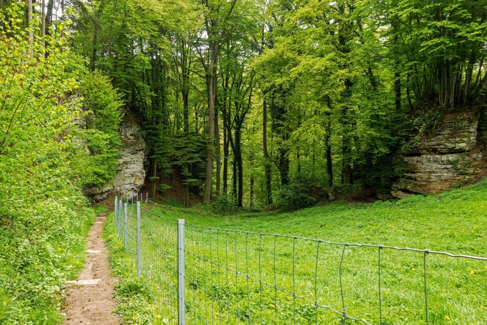
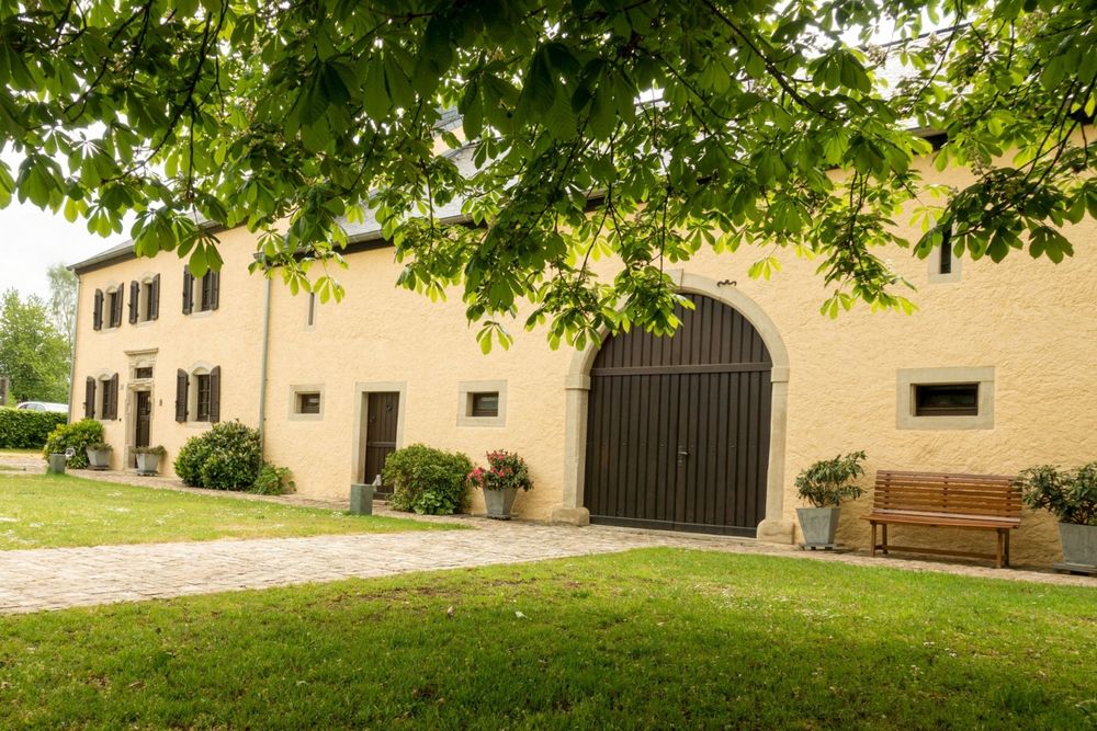
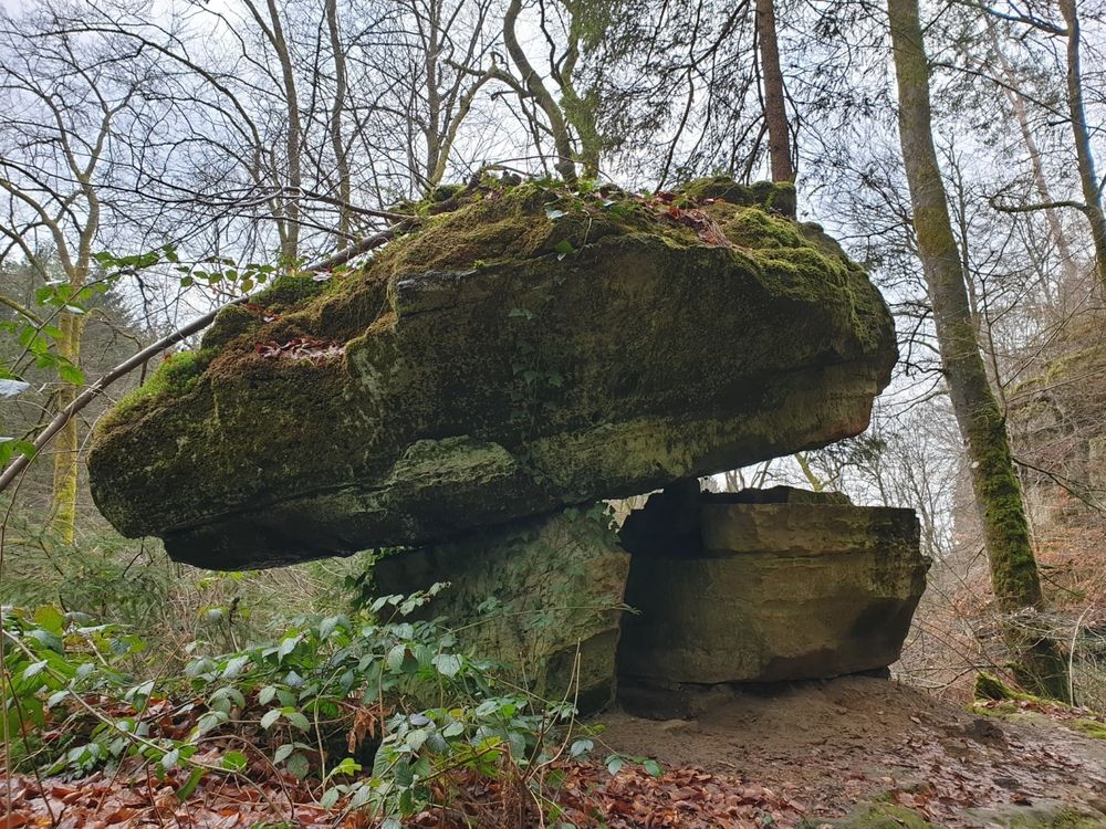
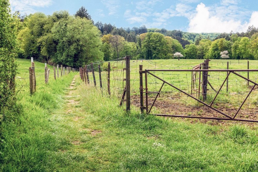
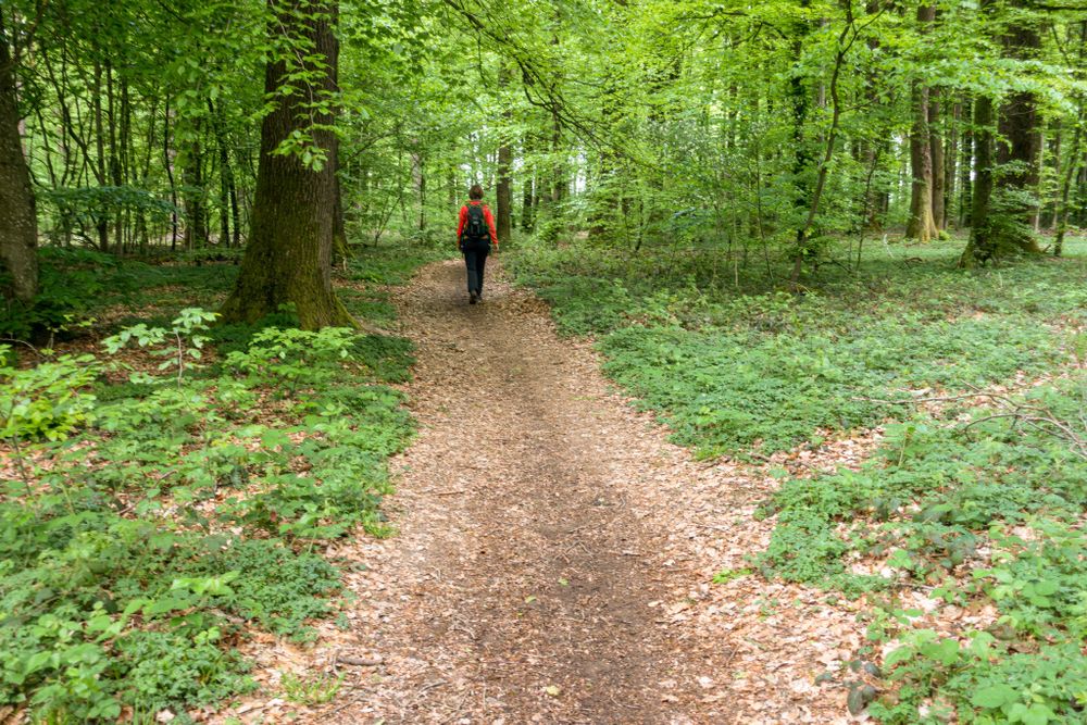
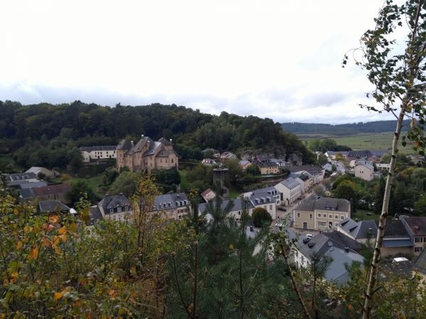
The starting point Op der Gare, the former station area, is marked by the display of a US aerial bomb recovered nearby from World War II. The path first leads through the village of Consdorf, past some typical farmhouses and the oldest house in the village, built in 1756 on Huelewee Street. From here you leave the built-up area and a narrow meadow path leads past a small spring, locally known as Nidderbierchen or Nidderbierchelchen, into the Hærdbaach valley. After a few hundred meters upstream along a wide forest track, a narrow, steep path branches off to the right and leads to the very narrow rock passages Rittergang and Déiwepëtz. The absolute highlight of this hike is the spectacular crossing of the pitch-dark rock passage Kuelscheier and exploring the fantastic Adventure-Kuelscheier area. On a gently ascending route, past several moors in the Seitert forest plot, you reach the starting point again.
Equipment
Sturdy footwear, something to drink, and a flashlight.
Journey
Nearest bus stop: Consdorf, Gare (50 m)
Parking:
Nearest parking: Consdorf Gare (50 m)


 This website uses technology and content from the Outdooractive Platform.