Description
Hike through the wild romantic rocky landscape of Consdorf and across the plateau - with panoramic views over the landscape.
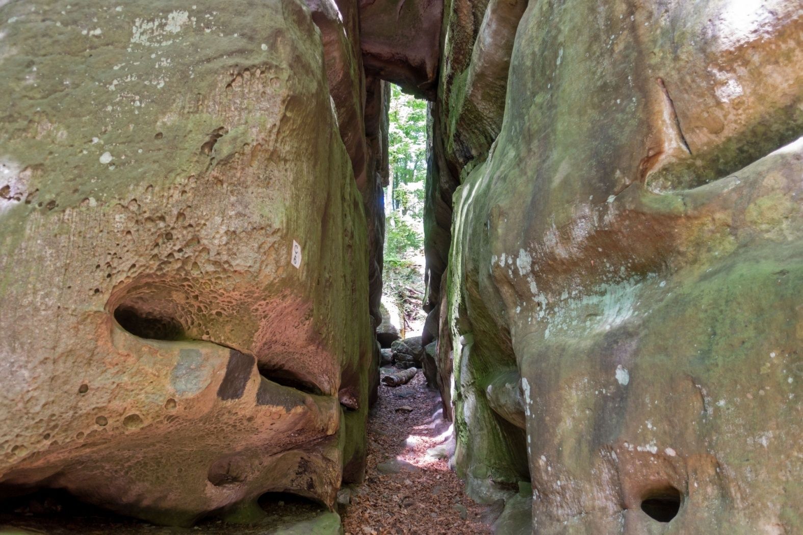
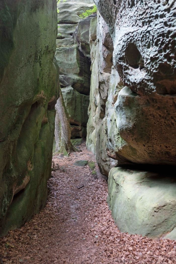
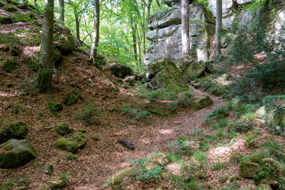
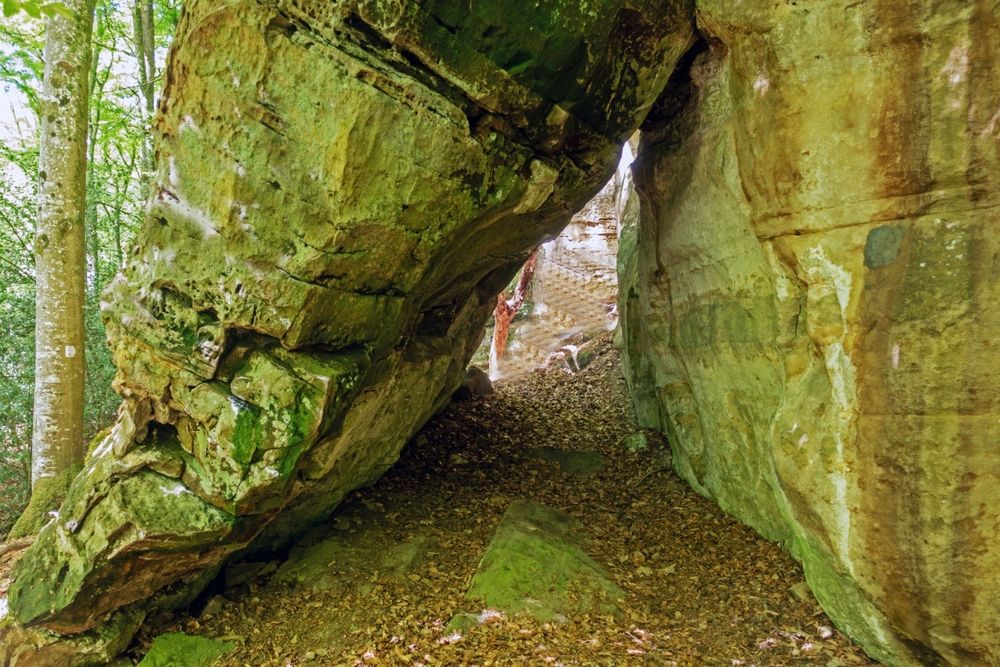
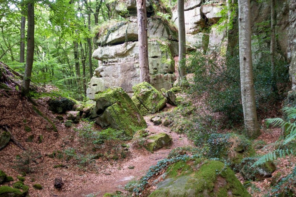
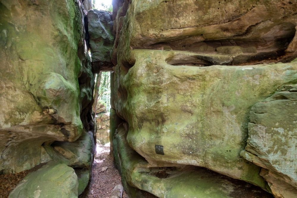
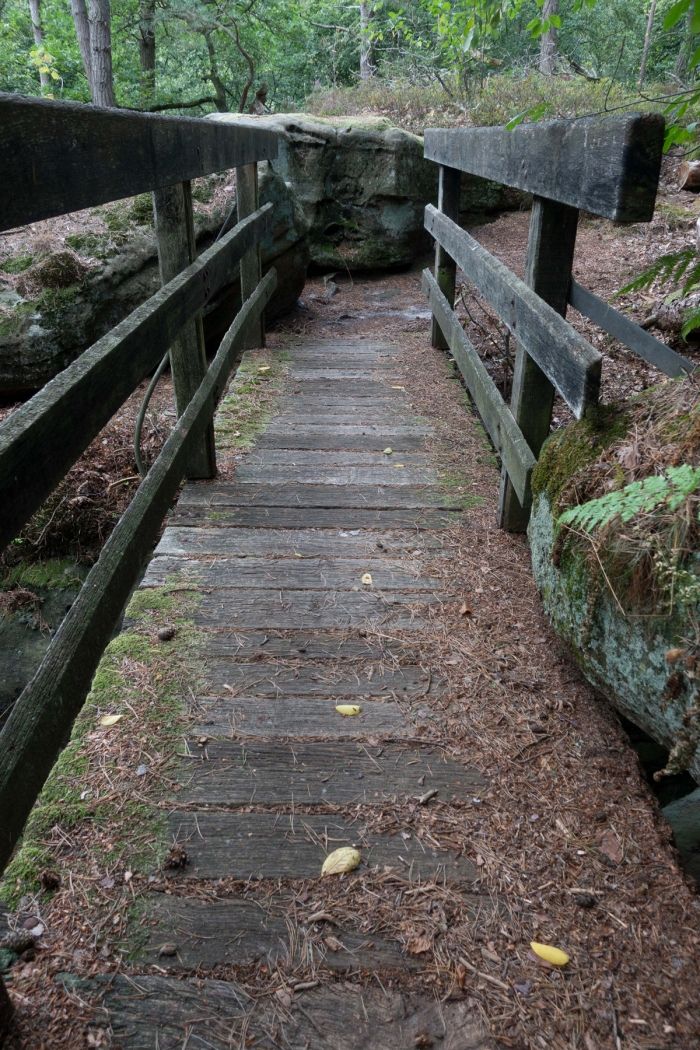
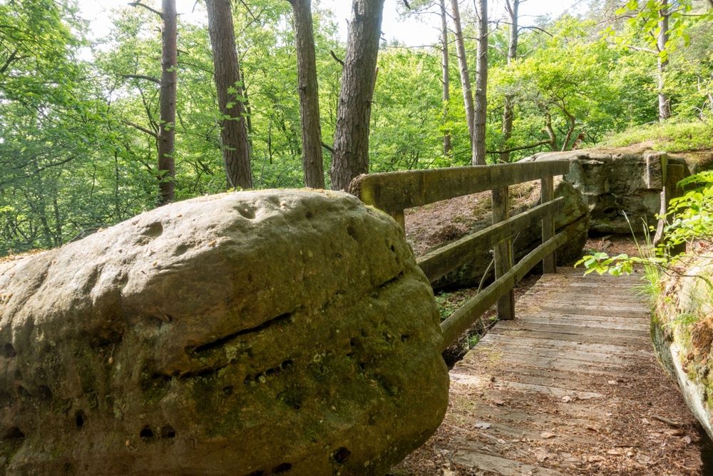
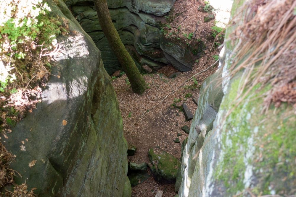
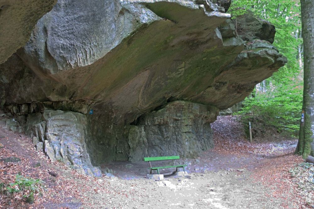
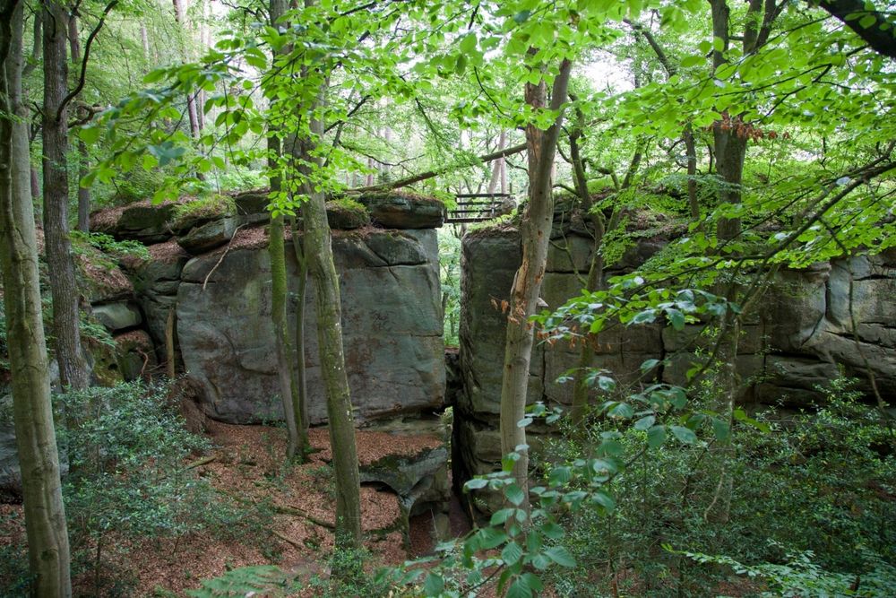
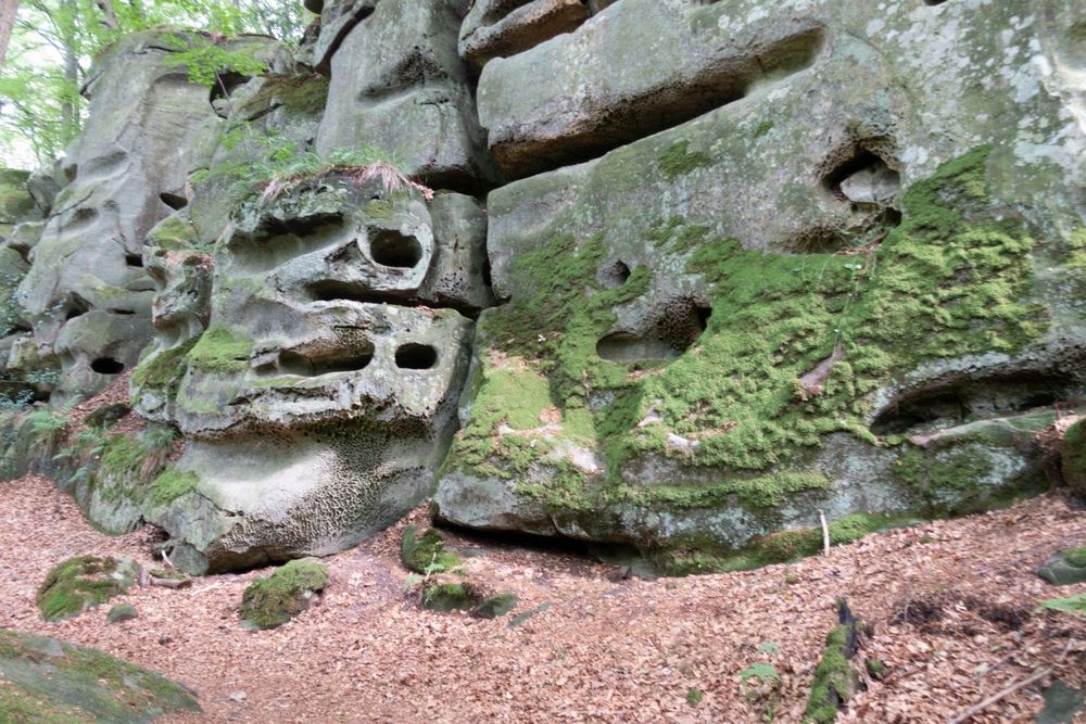
The first part of this hike runs through the forest and through the impressive rocky landscape of Consdorf. Highlights are the Schelmelee, one of the overhanging rocks that have served as human dwellings from the Stone Age to recent times, and the Rammelee - a rock formation with curious rock blocks and walls.
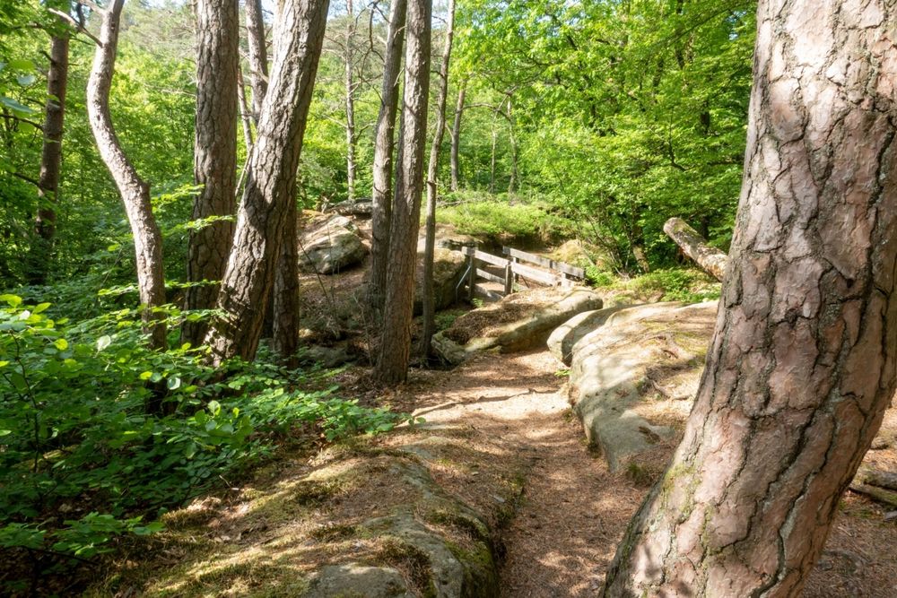
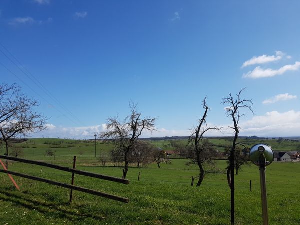
The second part of the hike then leads out of the forest, through open countryside, where there is a magnificent view over the landscape and the village of Consdorf.
Overall, a varied hike with many ascents and descents and many highlights along the way.
Signposting

Directions
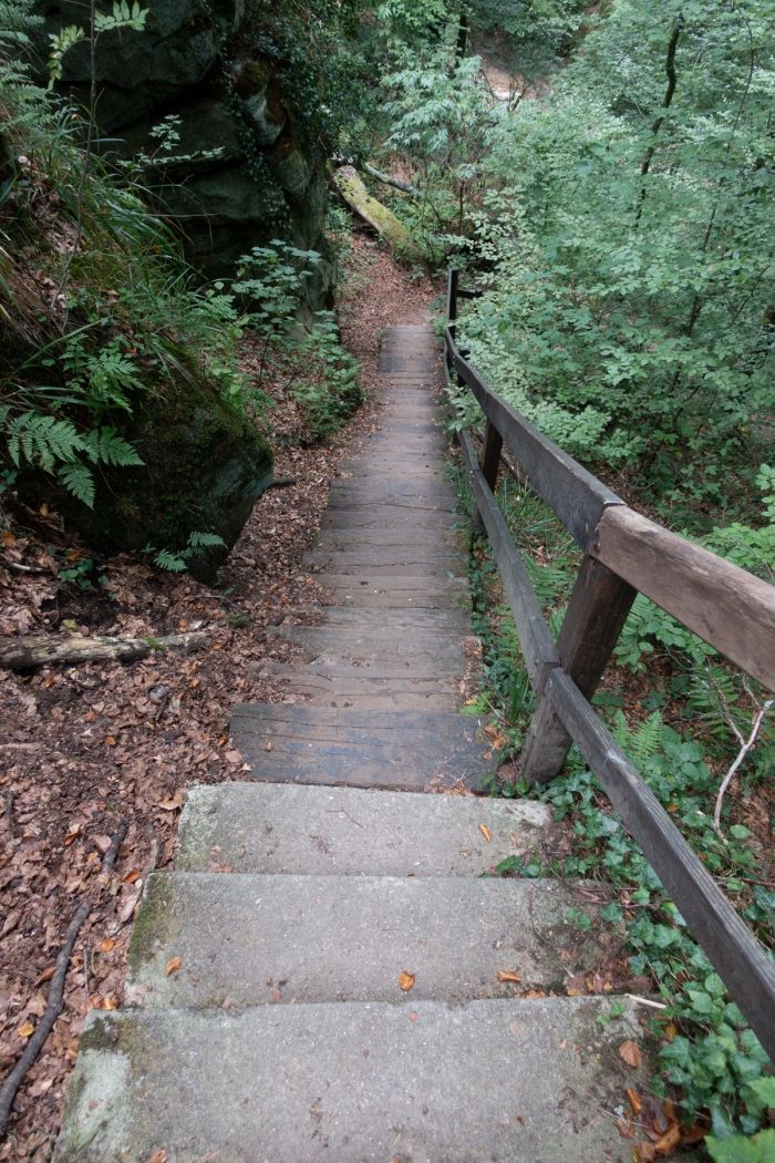
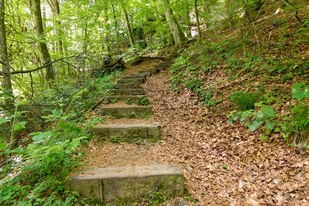
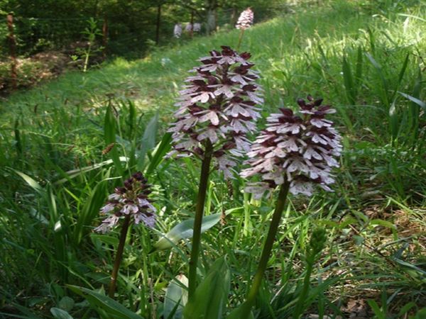
At the beginning of this hike, numerous steps down into the steeply sloping Biersbaach valley require some surefootedness. After a strenuous ascent, the trail then runs along the forest edge, partly over flat terrain, partly in constant ups and downs to the narrow Alsbaach valley. Here impresses the rock formation Schelmelee, one of these typical overhanging rocks that have served as human dwellings from the Stone Age to recent times. About a quarter of an hour later, one of the most spectacular rock formations on Consdorf territory is reached, the Rammelee. This entire wild romantic area impresses with the most curious rock blocks and walls amidst an impressive flora, especially the evergreen holly (ilex aquifolium). After the breathtaking crossing of the Rammelee up to the viewpoint, the flat trail soon leads out of the forest. On a paved path, partly through the forest, partly through open countryside, with a magnificent panoramic view of the village, Consdorf is soon reached again. Along a last forest path beside the Biersbaach stream, the starting point is soon reached after a heart-pumping ascent, high above Buergkapp.
Equipment
Sturdy footwear and something to drink.
Journey
Nearest bus stop: Consdorf, Schoul (500 m)
Parking:
Nearest parking: Camping La Pinède (directly on site)


 This website uses technology and content from the Outdooractive Platform.