©Visit Luxembourg
Müllerthal Germany France

Local hiking route - L1

Starting point

Larochette: Tourist Info

Destination

Larochette: Tourist Info

Distance
2,25 km
Difficulty
medium
  • Condition
Highest point
339 Hm
Lowest point
269 Hm
Aggregated Ascent
70 Hm
Aggregated Descent
70 Hm
Circular routes Visit Luxembourg

Description

Kids & Family Scenic Refreshment stops available Dog-friendly

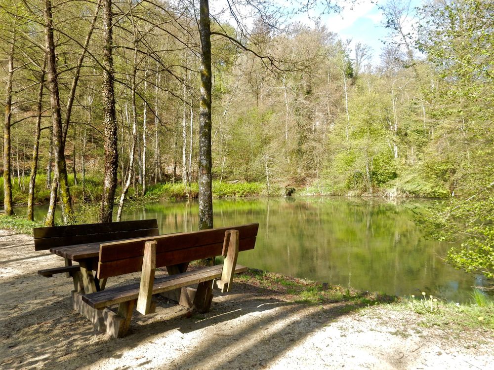
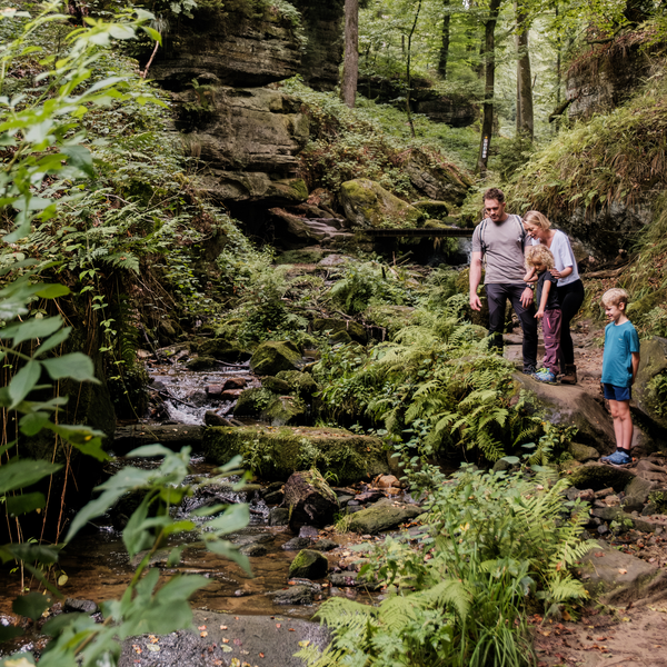
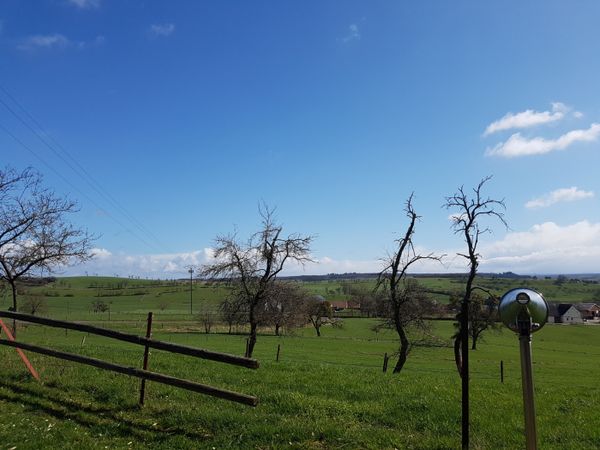
This short hiking route is also highly recommended for families with children.

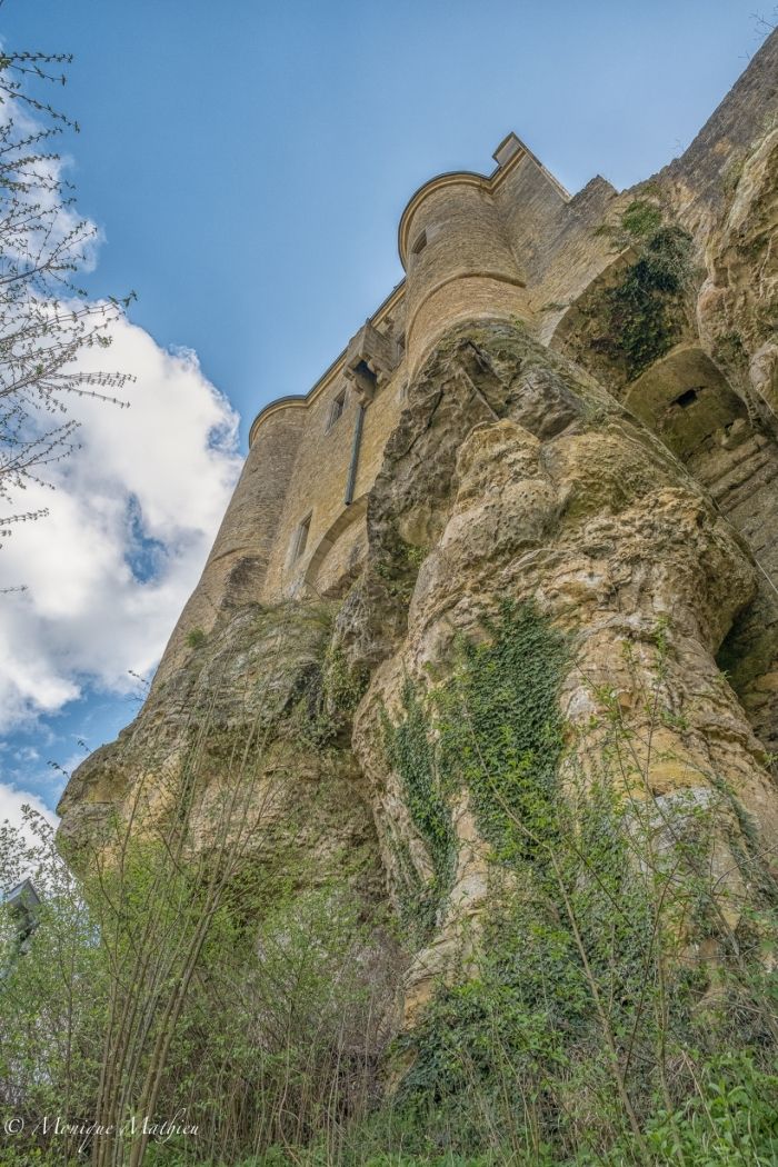
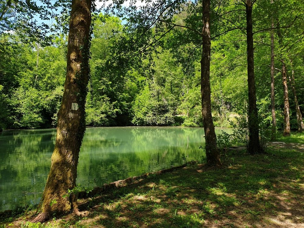
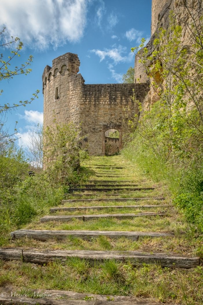
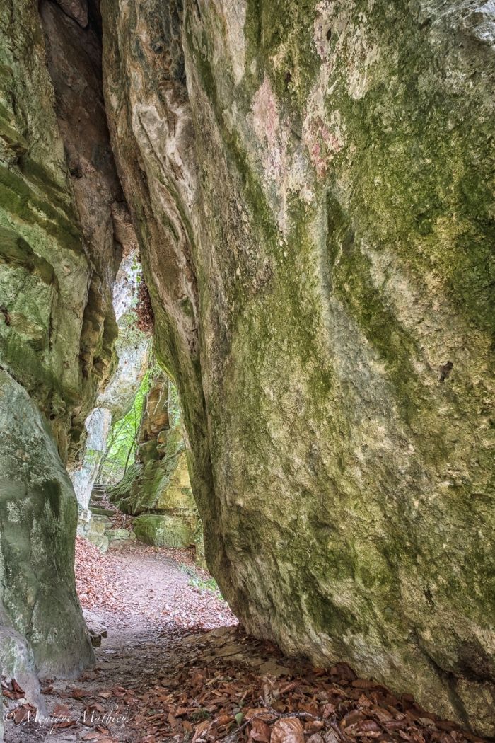
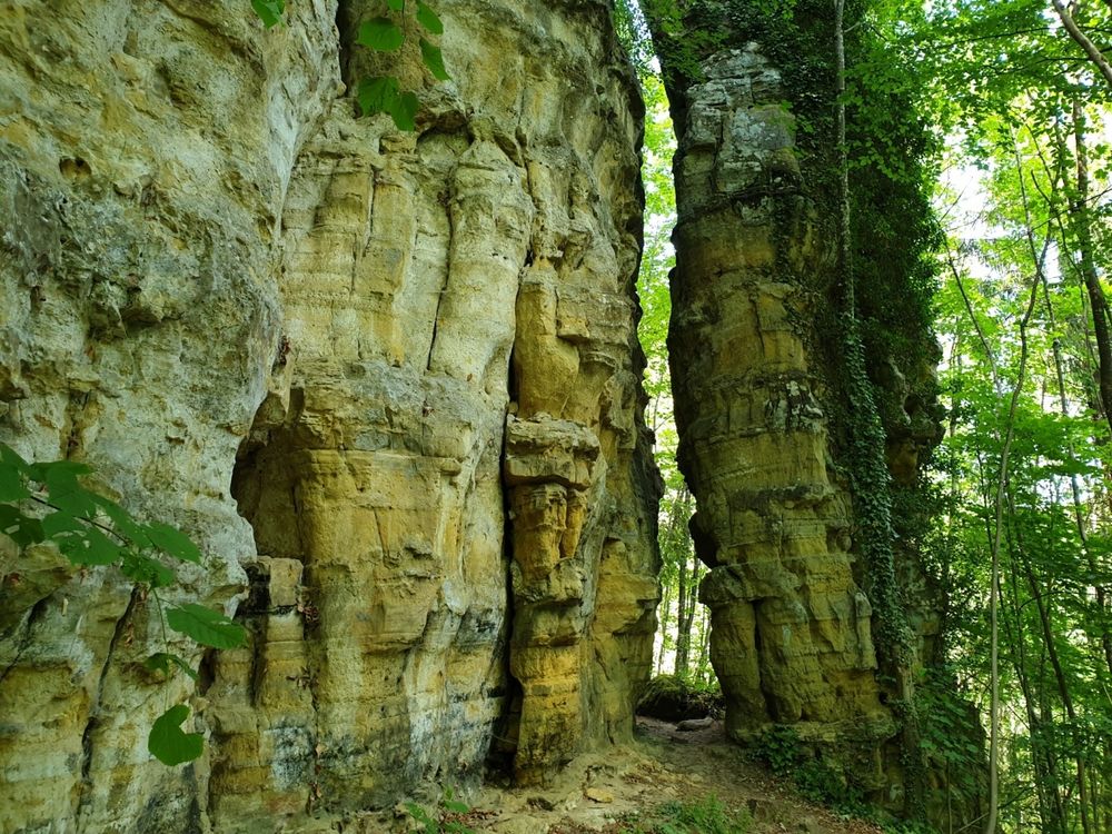
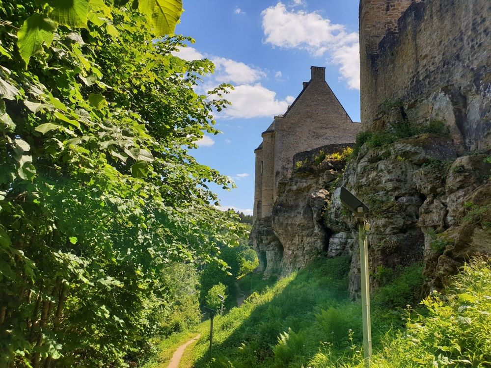
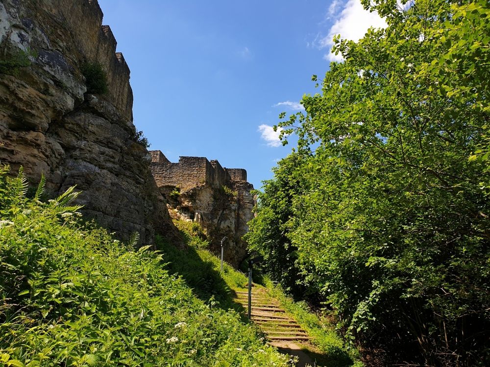
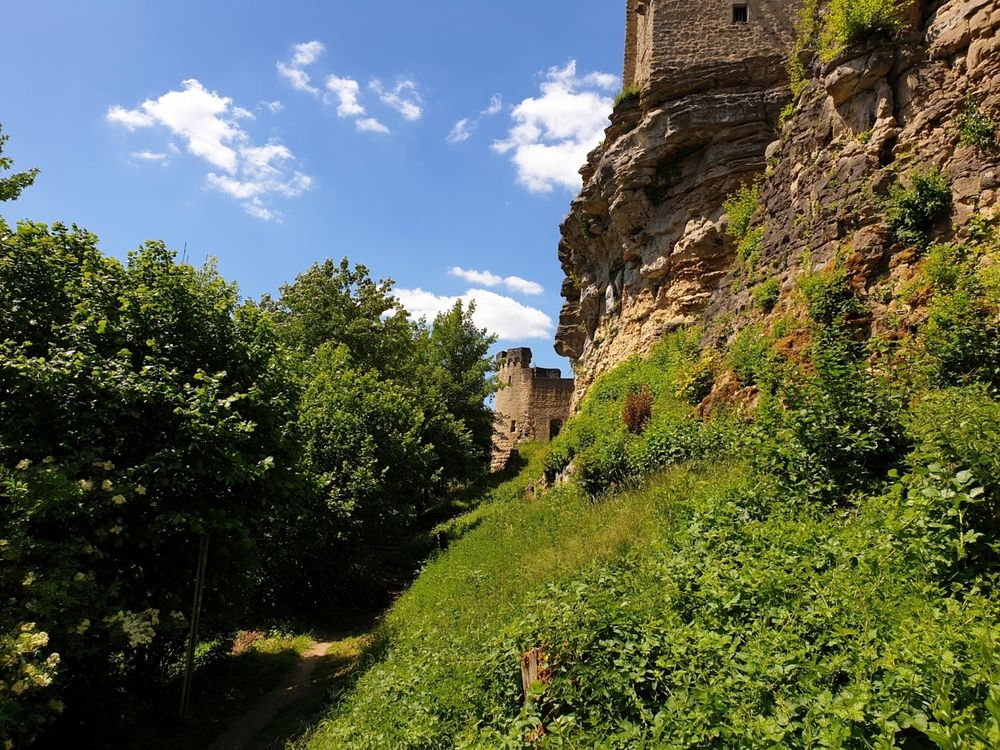
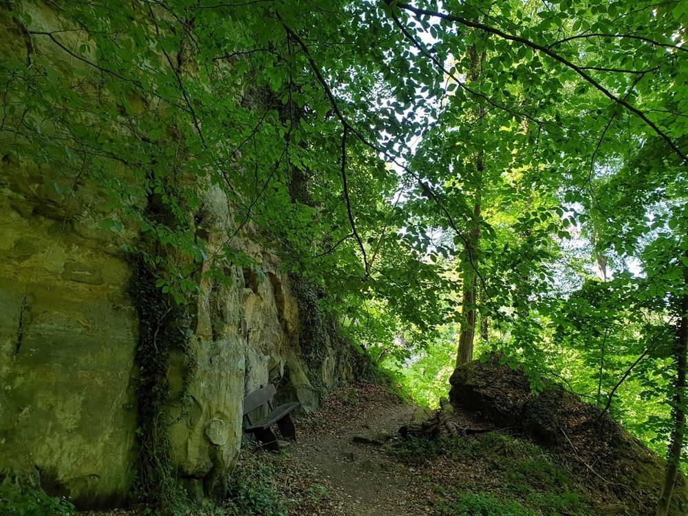
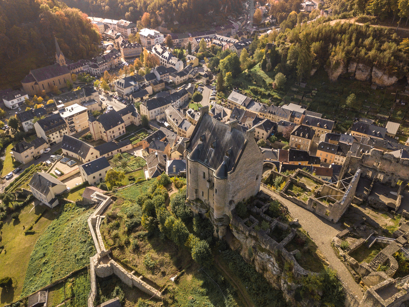
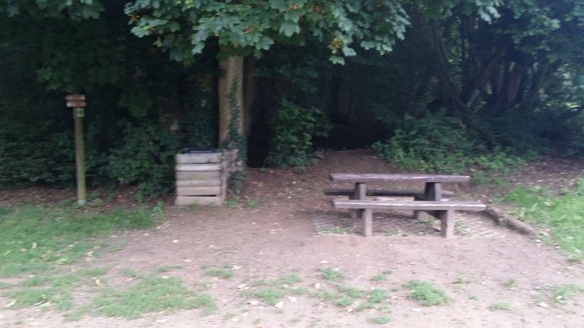
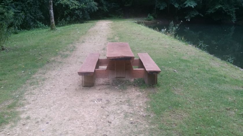
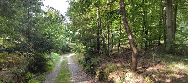
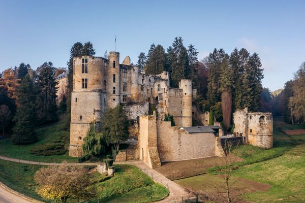
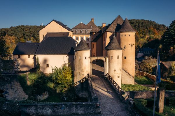
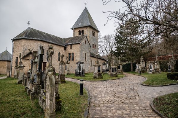
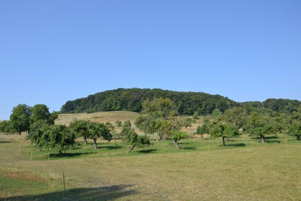
The start is at the Tourist Info, and the path leads via the Merscher Straße towards the castle, which is open for visits. From here you get a picturesque overview of the village Larochette. Then it goes, above Larochette, through the forest with some rock formations, towards the youth hostel. The path leads back to the town hall via Osterbourstraße.

The castle is open daily from March 15 to October 31, from 9 am to 6 pm.
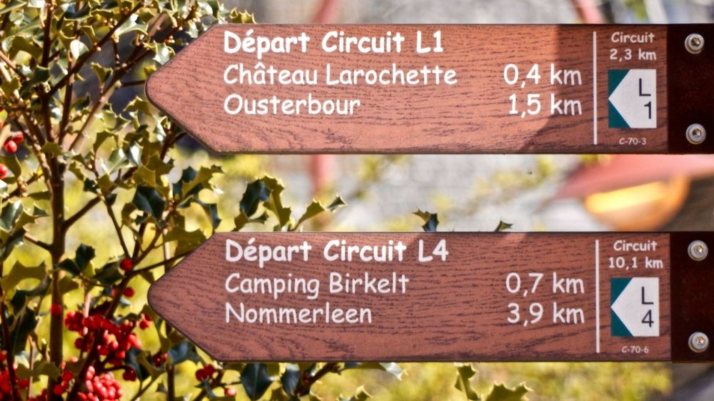
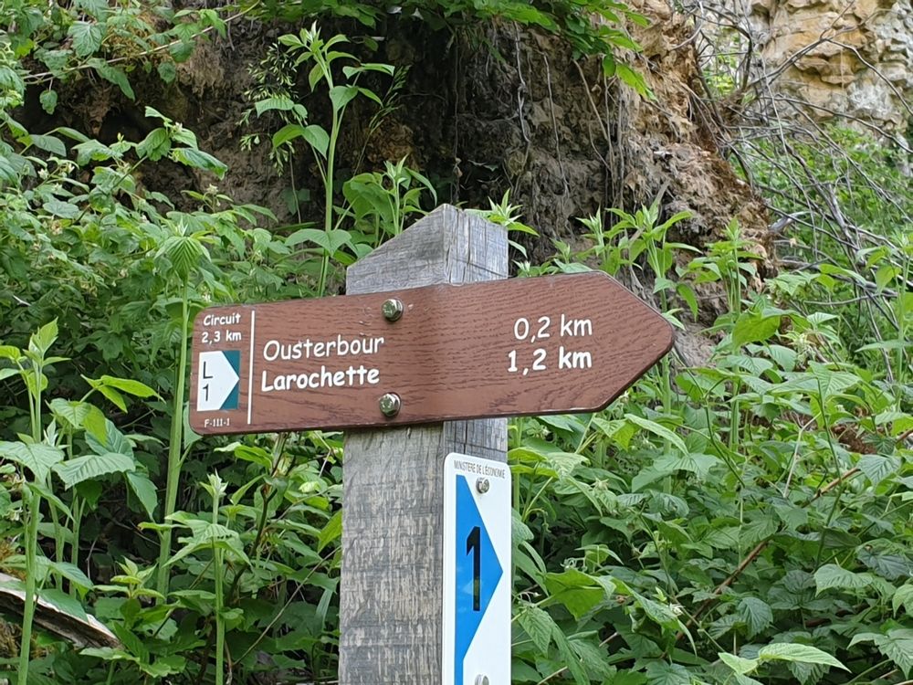
Suggestions nearby

Local hiking route - L1

  • ©Thibaud Bastien
    free
    with theLuxembourgPass
    Larochette Castle
    Immerse yourself in the medieval history of Larochette Castle.
    Find out more
  • ©Youth hostel Larochette
    Youth hostel Larochette
    Garden / ParkParkingSituated in the centre of townWifiRestaurantBicycle rental
  • ©Rentabike Mëllerdall CIG
    RentaBike Mëllerdall - Youth Hostel Larochette
    Explore the Mullerthal – Luxembourg’s Little Switzerland – by bike, using the regional bicycle hire scheme, RentaBike Mëllerdall.
    Find out more
  • Picnic area Ousterbour Larochette
    Picnic area Ousterbour Larochette
    Find out more
  • Picnic area Castle Larochette
    Picnic area Castle Larochette
    Find out more

Similar hiking tours

©Tom Barnich, Visit Berdorf
Circular routes
Local hiking trail - B17
Distance: 6,14 km
Duration: 1:40 h
Difficulty: medium
Find out more
©Visit Luxembourg
Thematic paths
Circular hiking trail through the Deiwelskopp nature reserve
Distance: 8,50 km
Duration: 2:27 h
Difficulty: medium
Find out more
©Visit Luxembourg
Circular routes
Local hiking route - F2
Distance: 8,21 km
Duration: 2:30 h
Difficulty: medium
Find out more
©Visit Luxembourg
Circular routes
Local hiking route - F4
Distance: 6,09 km
Duration: 1:40 h
Difficulty: medium
Find out more
©Visit Luxembourg
Circular routes
Local hiking route - L2
Distance: 8,54 km
Duration: 2:30 h
Difficulty: medium
Find out more
©Visit Luxembourg
Circular routes
Local route - B10
Distance: 4,99 km
Duration: 1:20 h
Difficulty: medium
Find out more
©Visit Luxembourg
Circular routes
Local hiking route - E8
Distance: 6,26 km
Duration: 1:40 h
Difficulty: medium
Find out more
©ORT MPSL , Visit Luxembourg
Circular routes
Local walking route - B1
Distance: 10,58 km
Duration: 3:05 h
Difficulty: medium
Find out more
©L. Schömer, Visit Luxembourg
Circular routes
Auto-Pédestre hiking trail Bollendorf-Pont
Distance: 8,67 km
Duration: 2:40 h
Difficulty: medium
Find out more
outdooractive This website uses technology and content from the Outdooractive Platform.