Hunting Season 2025/26 — Check for hunts

Autumn is here, and that means hunting season has begun! From mid-October to January/February, hunters are active across the country. Stay safe by checking hunt dates in your area on our Map. 

Click on Map in the Header > Services > More > Hunting.

Starting point

Haller: Parking Rue du Hallerbach

Destination

Haller: Parking Rue du Hallerbach

Distance
6,20 km
Duration
1:45 h
Difficulty
medium
  • Condition
Highest point
364 Hm
Lowest point
247 Hm
Aggregated Ascent
118 Hm
Aggregated Descent
118 Hm
Circular routes Visit Luxembourg

Description

Kids & Family

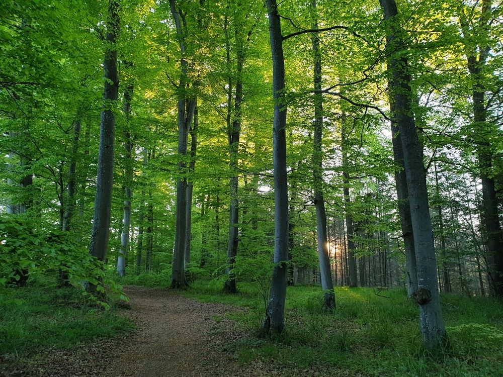
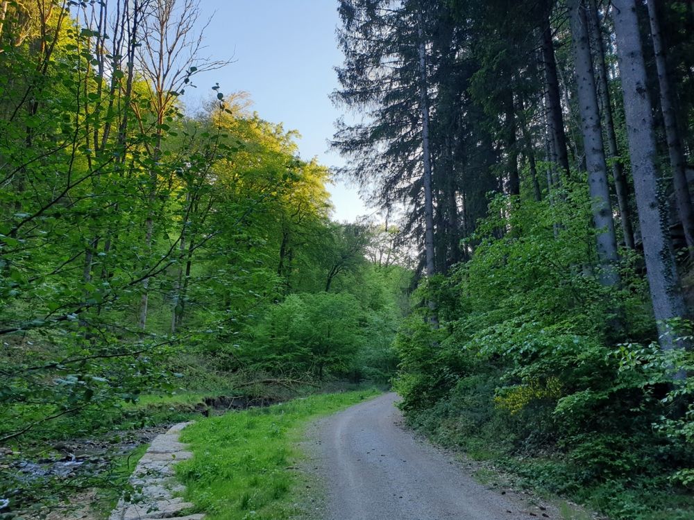
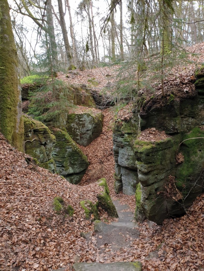
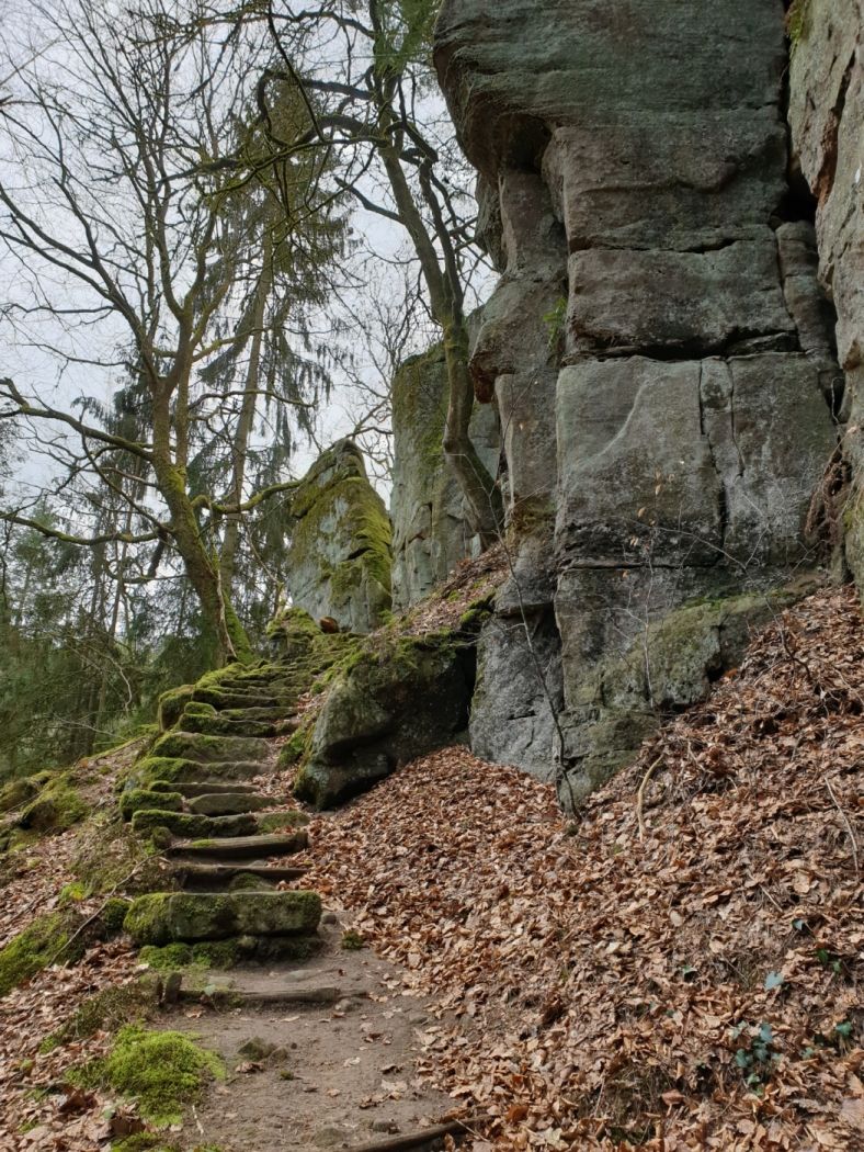
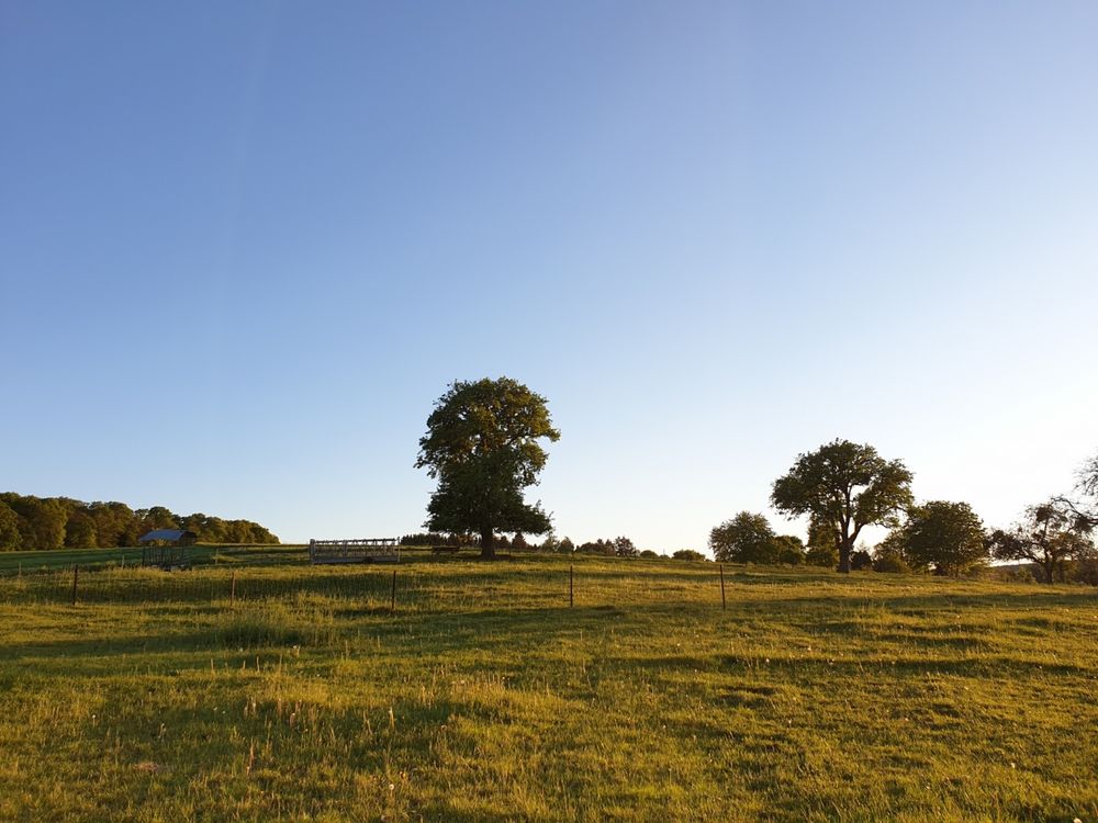
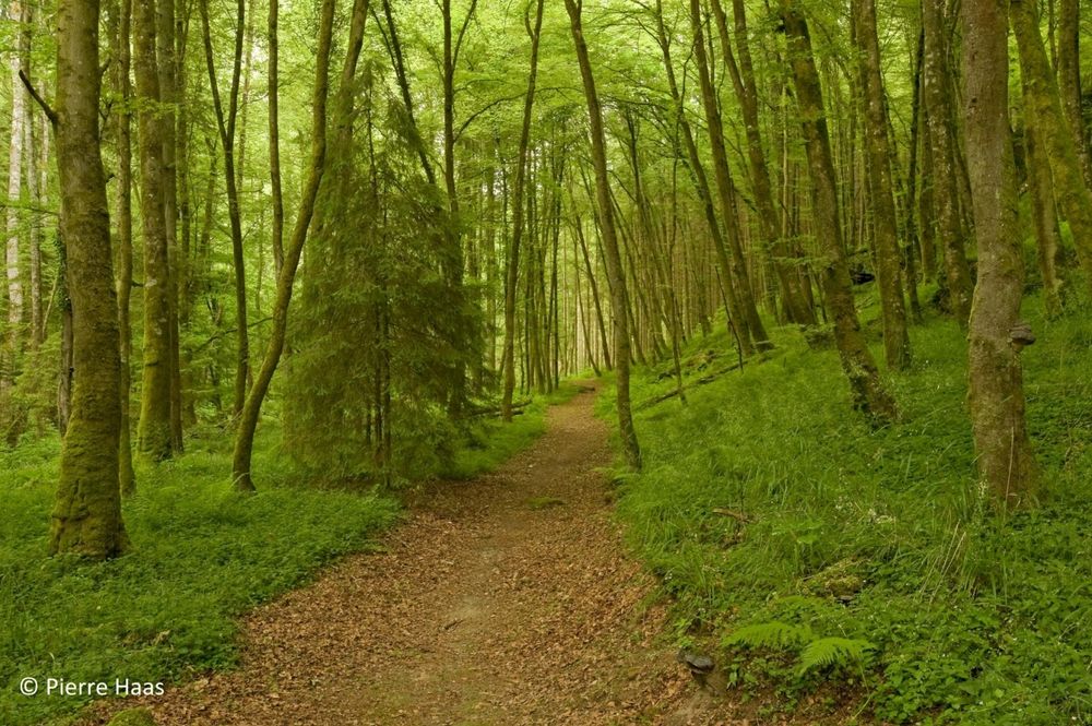
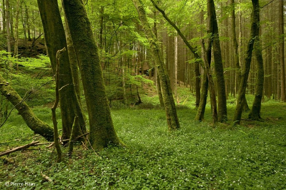
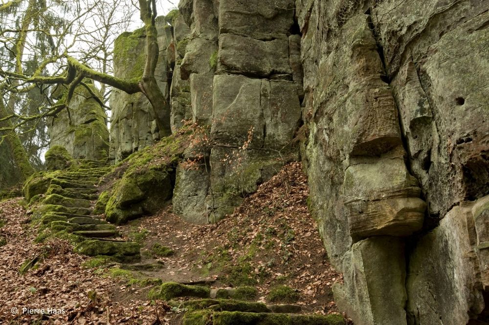
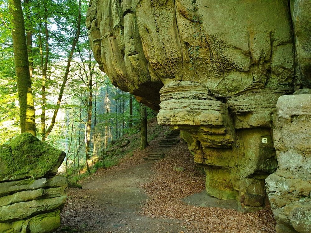
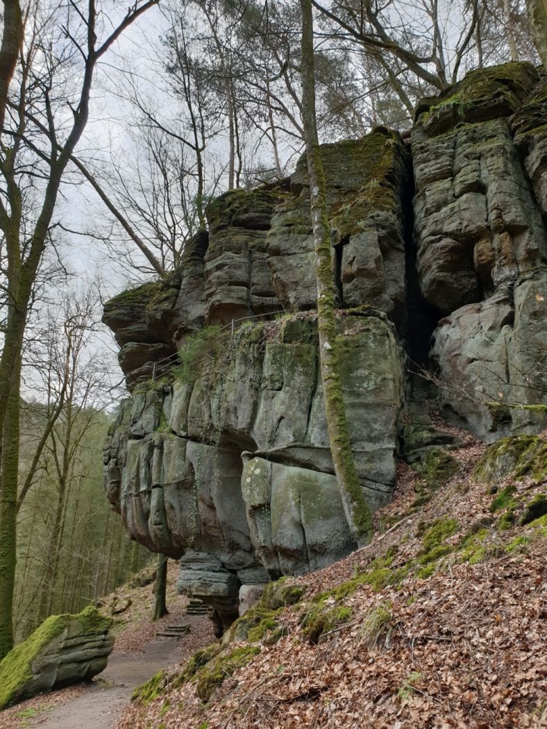
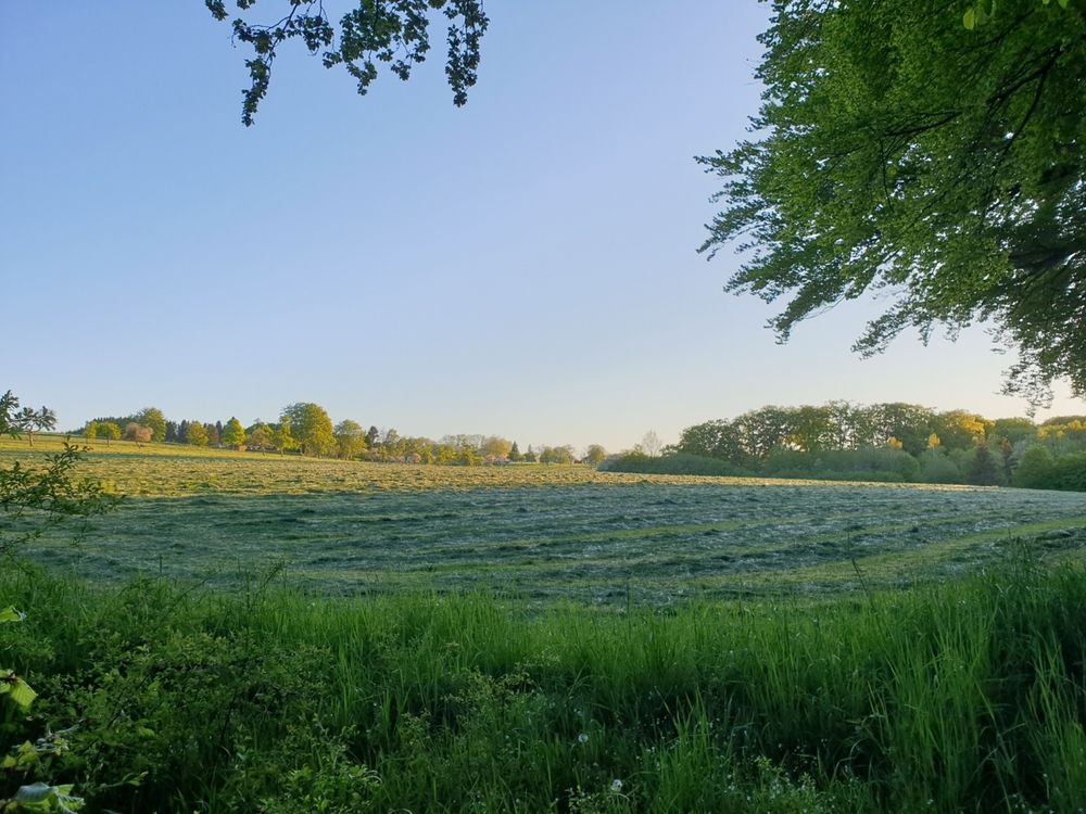
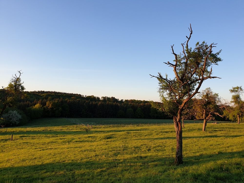
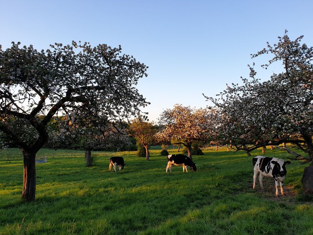
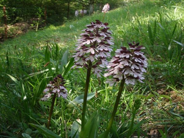
Varied route with forest, rocks, water, and fields, suitable for families.

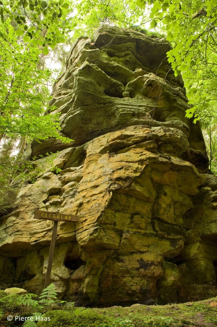
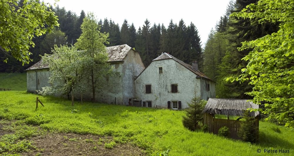
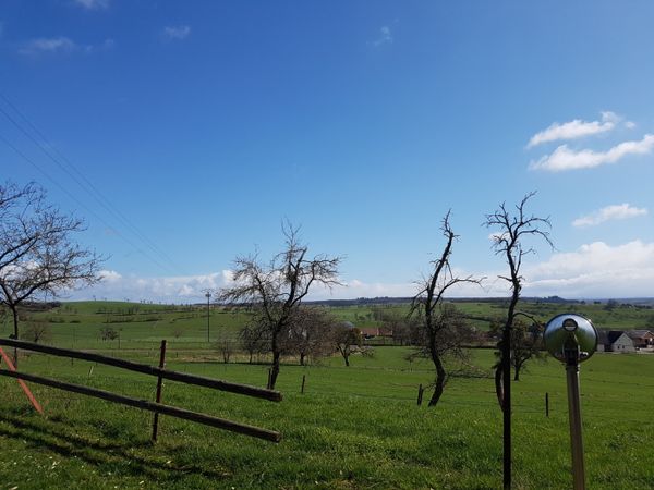
At the edge of the picturesque village of Haller begins this beautiful 5.8 km hike. On easy paths, this hike offers a mix of rocks and meadows. Initially, the trail winds through the wild-romantic Hallerbach valley past the former mill and repeatedly passes impressive rock formations such as the "Ellerlee." The return route leads through fields and meadows and then back through the village center to the starting point.

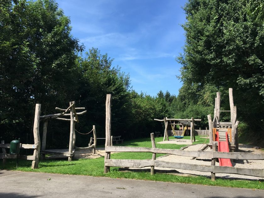
The route is also suitable for families, but not stroller-friendly.

Suggestions nearby

Local hiking trail - W4

  • Playground Haller
    Playground Haller
    Find out more

Similar hiking tours

© Tom Barnich, Visit Berdorf
Circular routes
Local hiking trail - B17
Distance: 6,14 km
Duration: 1:40 h
Difficulty: medium
Find out more
© Visit Luxembourg
Thematic paths
Circular hiking trail through the Deiwelskopp nature reserve
Distance: 8,50 km
Duration: 2:27 h
Difficulty: medium
Find out more
© Visit Luxembourg
Thematic paths
Didactic nature path "Joffer Margot"
Distance: 6,88 km
Duration: 2:00 h
Difficulty: medium
Find out more
© Visit Luxembourg
Circular routes
Local hiking route - F2
Distance: 8,21 km
Duration: 2:30 h
Difficulty: medium
Find out more
© Visit Luxembourg
Circular routes
Local hiking route - F4
Distance: 7,60 km
Duration: 2:10 h
Difficulty: medium
Find out more
© Visit Luxembourg
Circular routes
Local hiking trail - W1
Distance: 6,81 km
Duration: 1:47 h
Difficulty: medium
Find out more
© L. Schömer, Visit Luxembourg
Circular routes
Auto-pédestre trail Bollendorf-Pont
Distance: 8,67 km
Duration: 2:40 h
Difficulty: medium
Find out more
© Visit Luxembourg
Circular routes
Auto-Pédestre hiking route Echternach Centre
Distance: 6,71 km
Duration: 2:00 h
Difficulty: medium
Find out more
© ORT MPSL, Visit Luxembourg
Circular routes
Local hiking trail - R8
Distance: 8,71 km
Duration: 2:30 h
Difficulty: medium
Find out more
outdooractive This website uses technology and content from the Outdooractive Platform.