©Visit Luxembourg
Müllerthal Germany France

Local hiking trail - W5

Hunting Season 2025/26 — Check for hunts

Autumn is here, and that means hunting season has begun! From mid-October to January/February, hunters are active across the country. Stay safe by checking hunt dates in your area on our Map. 

Click on Map in the Header > Services > More > Hunting.

Starting point

Haller: Parking Rue du Hallerbach

Destination

Haller: Parking Rue du Hallerbach

Distance
10,10 km
Duration
2:50 h
Difficulty
medium
  • Condition
Highest point
360 Hm
Lowest point
185 Hm
Aggregated Ascent
213 Hm
Aggregated Descent
213 Hm
Circular routes Visit Luxembourg

Description

The local hiking trail W5 is currently closed due to forestry work.

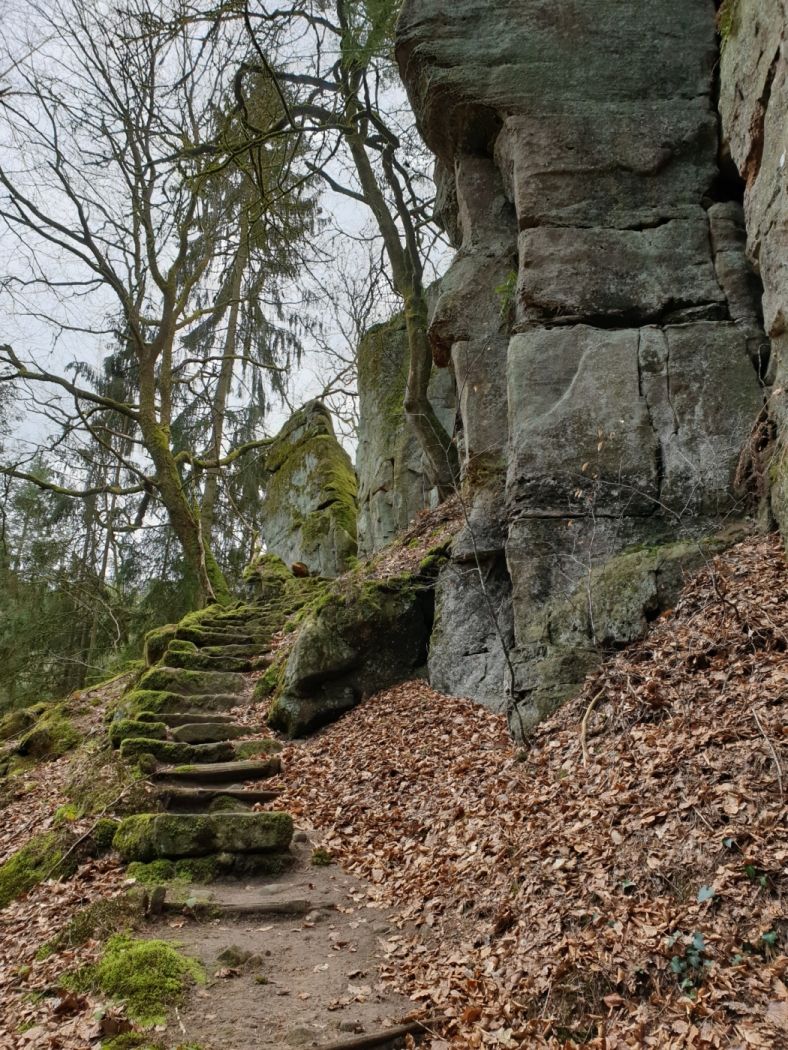
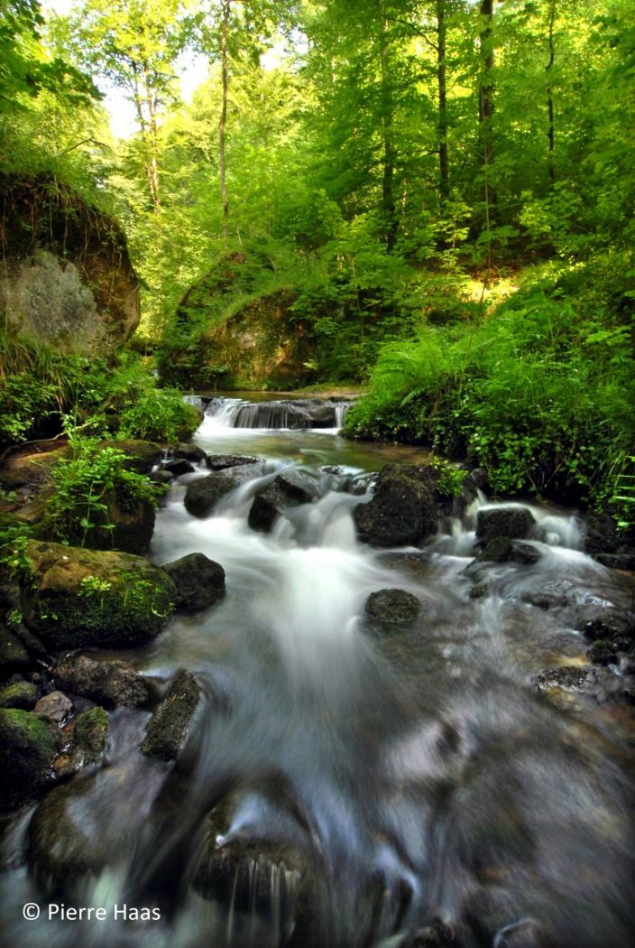
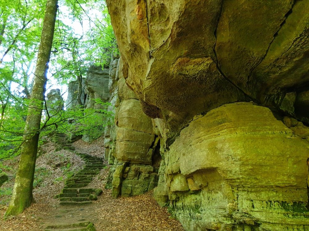
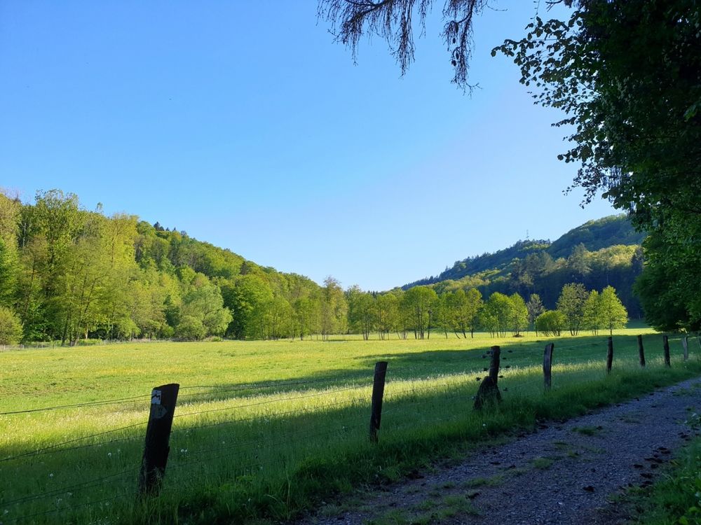
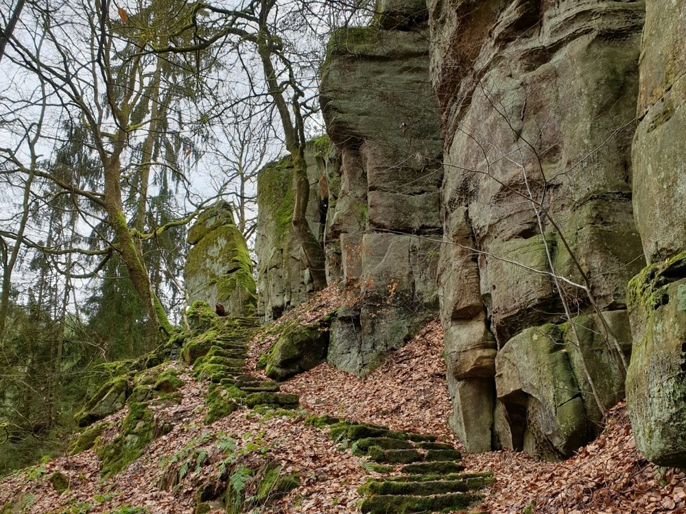
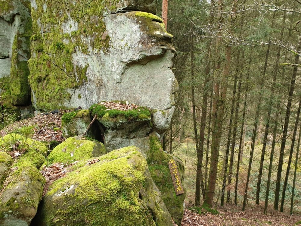
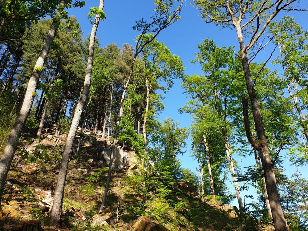
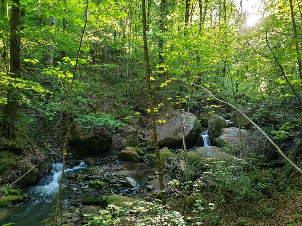
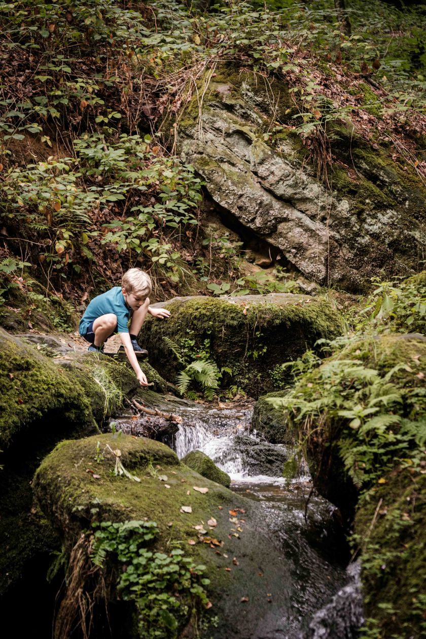
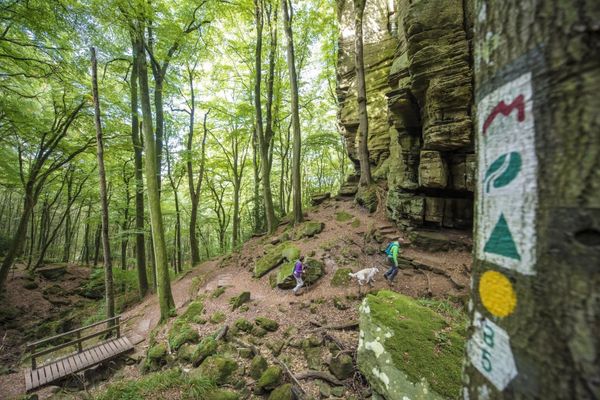
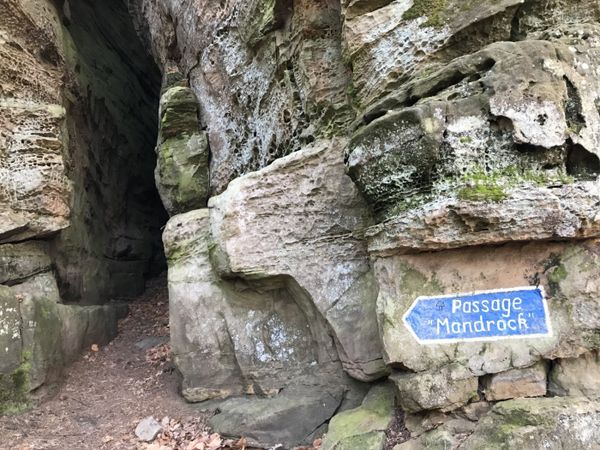
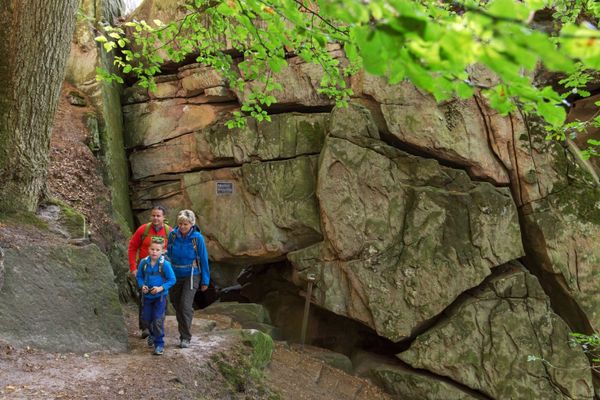
Varied route along the Schwarze Ernz - one of the region's most defining streams - and past spectacular rock formations.

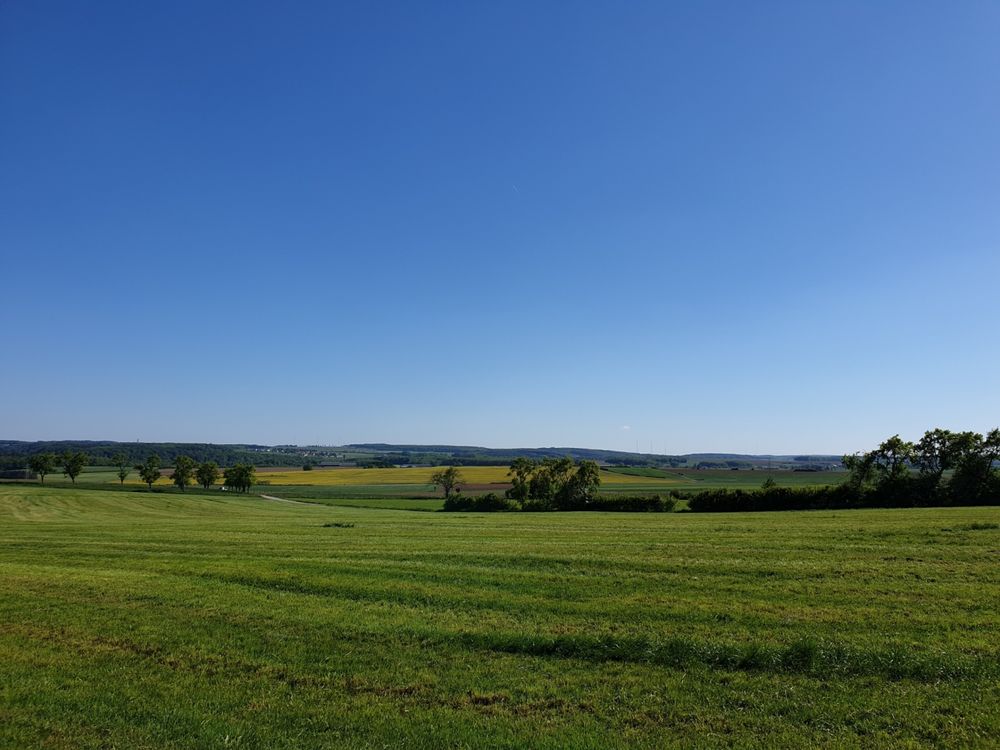
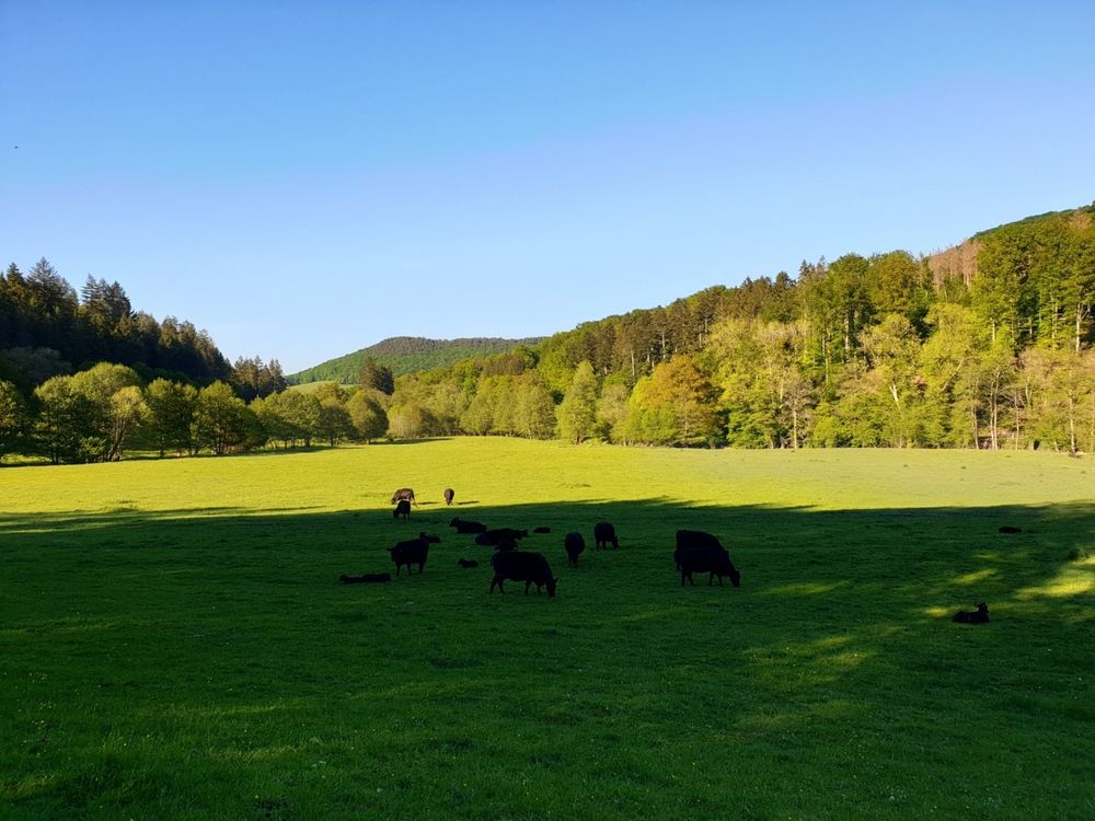
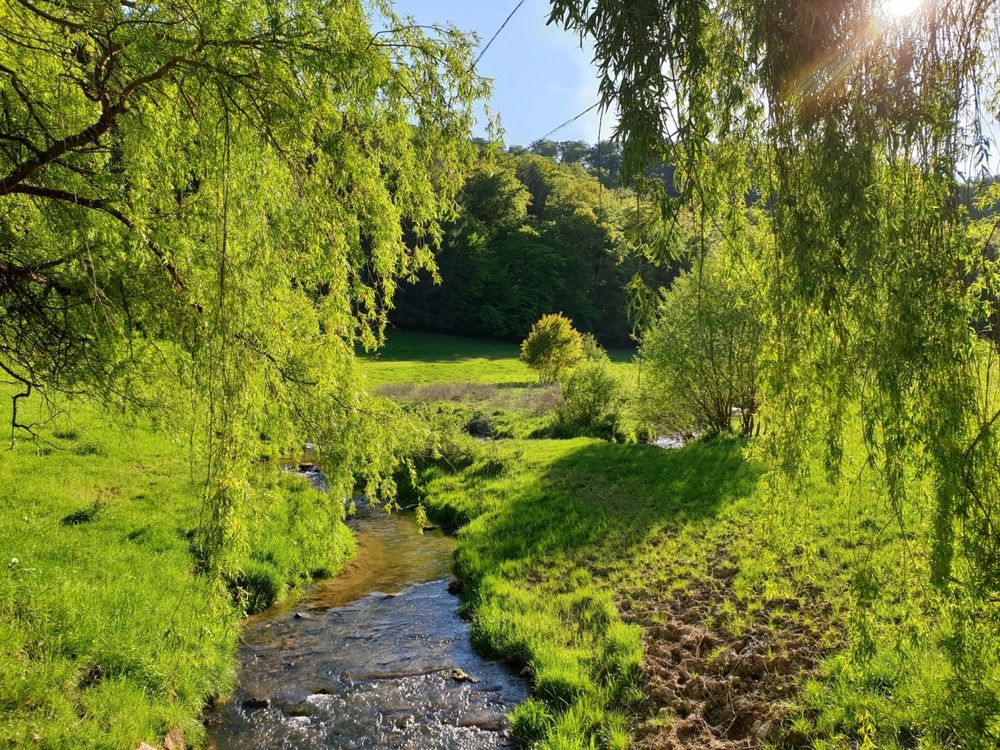
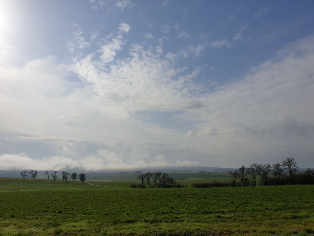
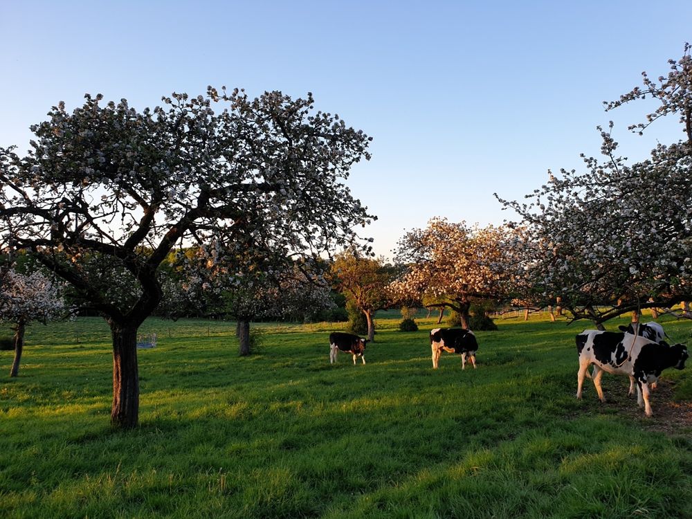
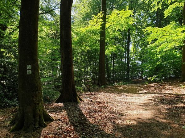
From the parking lot on the edge of Haller, this 10 km long hiking trail first leads on a long descent through meadows and forests into the Schwarze Ernz valley. With a bit of luck, you will see the famous Black Angus cattle along the way, which are highly valued by meat lovers far beyond the region’s borders. Through the beautiful valley of the Halerbaach with its impressive rocks along the stream, you finally return to the starting point.
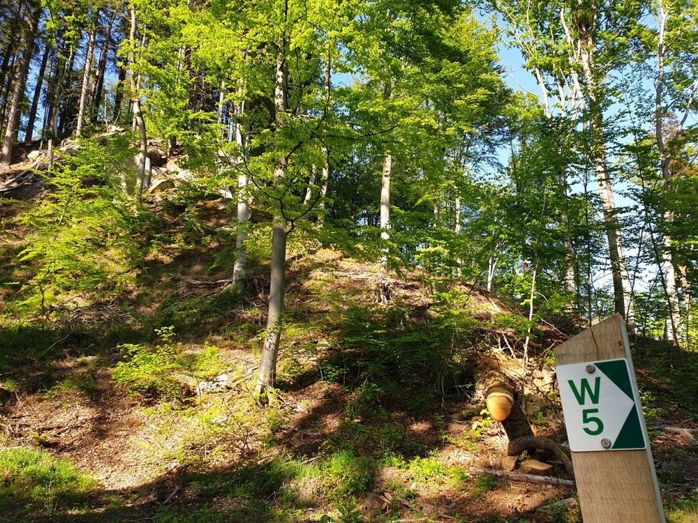
Suggestions nearby

Local hiking trail - W5

  • ©PANCAKE! Photographie
    Creek valleys “Haupeschbaach and Halerbaach”
    Hike along the wild-romantic, bubbling streams Haupeschbaach and Halerbaach
    Find out more
  • Picnic area Haller
    Picnic area Haller
    Find out more

Similar hiking tours

©Visit Luxembourg
Thematic paths
Circular hiking trail through the Deiwelskopp nature reserve
Distance: 8,50 km
Duration: 2:27 h
Difficulty: medium
Find out more
©Visit Luxembourg
Circular routes
Local hiking route - F2
Distance: 8,21 km
Duration: 2:30 h
Difficulty: medium
Find out more
©Tom Barnich, Visit Berdorf
Circular routes
Local hiking trail - B17
Distance: 6,14 km
Duration: 1:40 h
Difficulty: medium
Find out more
©Visit Luxembourg
Thematic paths
Didactic nature path "Joffer Margot"
Distance: 6,88 km
Duration: 2:00 h
Difficulty: medium
Find out more
©Visit Luxembourg
Circular routes
Local hiking route - B12
Distance: 3,25 km
Duration: 0:55 h
Difficulty: medium
Find out more
©Visit Luxembourg
Circular routes
Local route - B10
Distance: 4,99 km
Duration: 1:20 h
Difficulty: medium
Find out more
©Visit Luxembourg
Thematic paths
Memorial Route
Distance: 20,46 km
Duration: 5:40 h
Difficulty: medium
Find out more
©L. Schömer, Visit Luxembourg
Circular routes
Auto-pédestre trail Bollendorf-Pont
Distance: 8,67 km
Duration: 2:40 h
Difficulty: medium
Find out more
©Visit Luxembourg
Circular routes
Auto-Pédestre hiking route Echternach Centre
Distance: 6,71 km
Duration: 2:00 h
Difficulty: medium
Find out more
outdooractive This website uses technology and content from the Outdooractive Platform.