©Visit Luxembourg
Müllerthal Germany France

Local hiking route - N2

Hunting Season 2025/26 — Check for hunts

Autumn is here, and that means hunting season has begun! From mid-October to January/February, hunters are active across the country. Stay safe by checking hunt dates in your area on our Map. 

Click on Map in the Header > Services > More > Hunting.

Starting point

Nommern: community center

Destination

Nommern: community center

Distance
3,85 km
Duration
1:10 h
Difficulty
medium
  • Condition
Highest point
397 Hm
Lowest point
268 Hm
Aggregated Ascent
128 Hm
Aggregated Descent
128 Hm
Circular routes Visit Luxembourg

Description

Kids & Family Dog-friendly

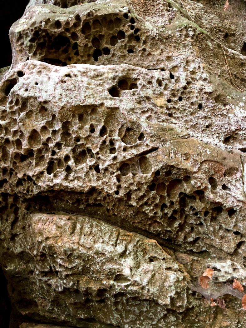
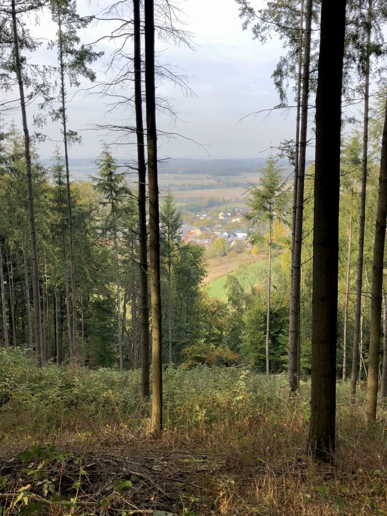
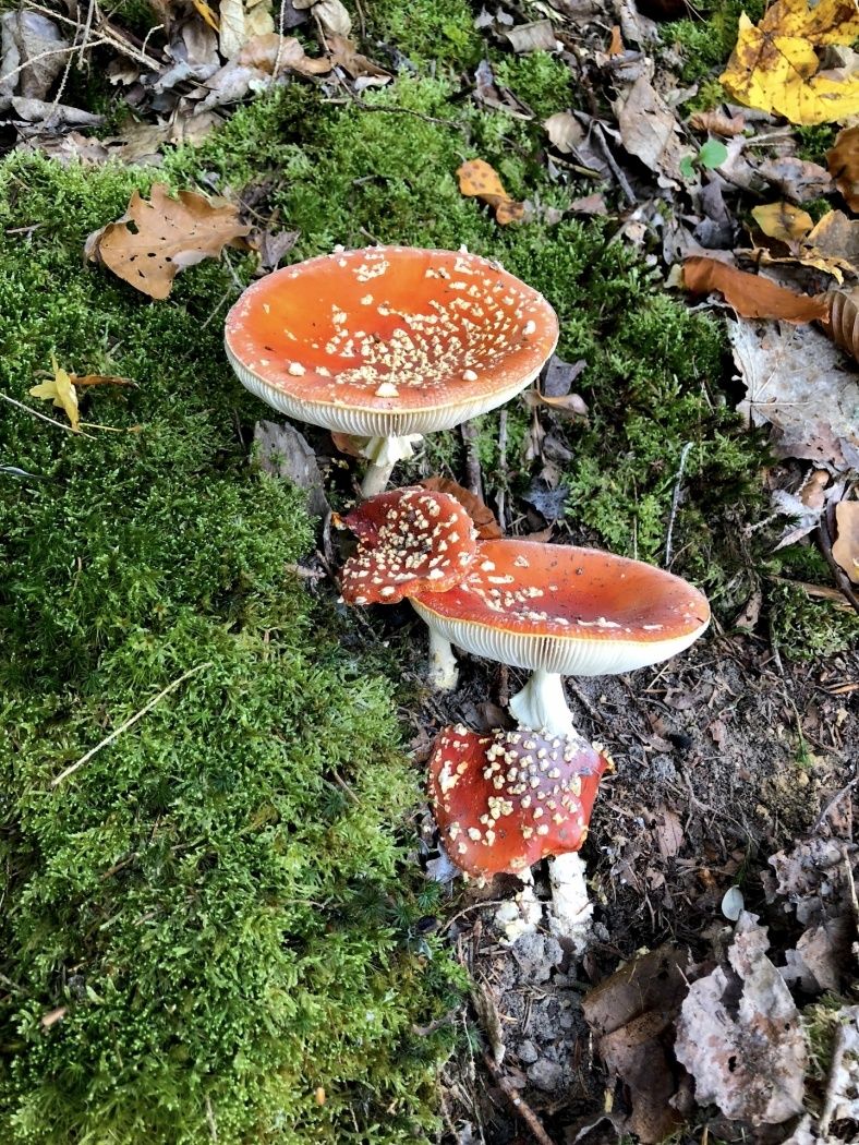
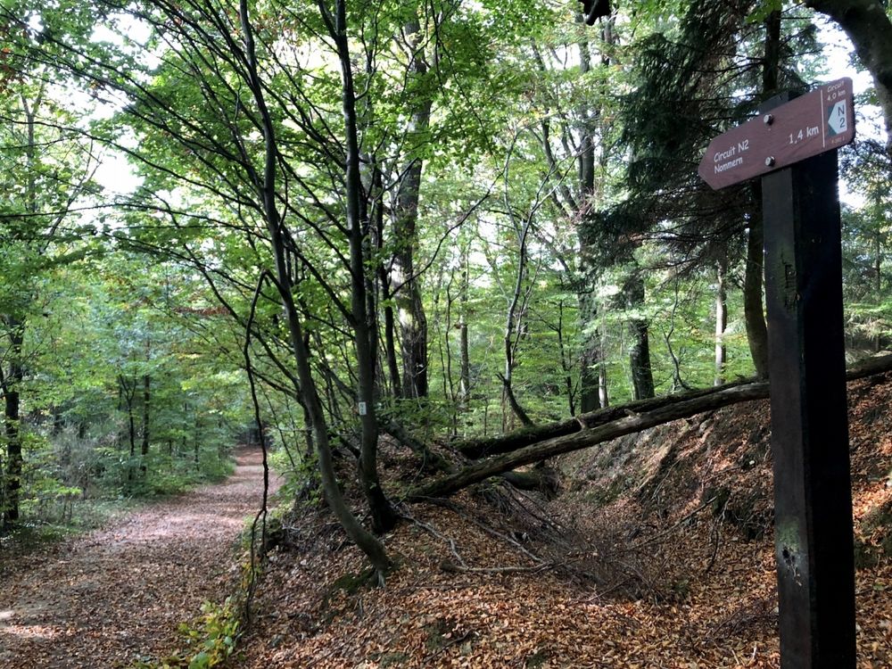
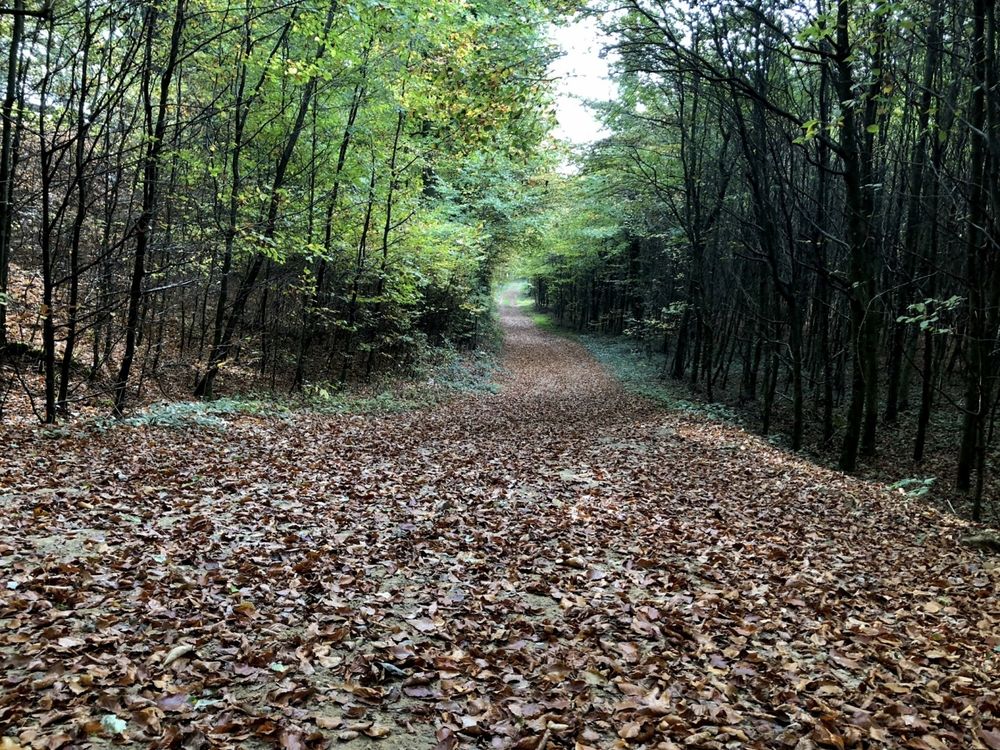
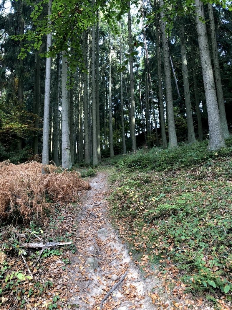
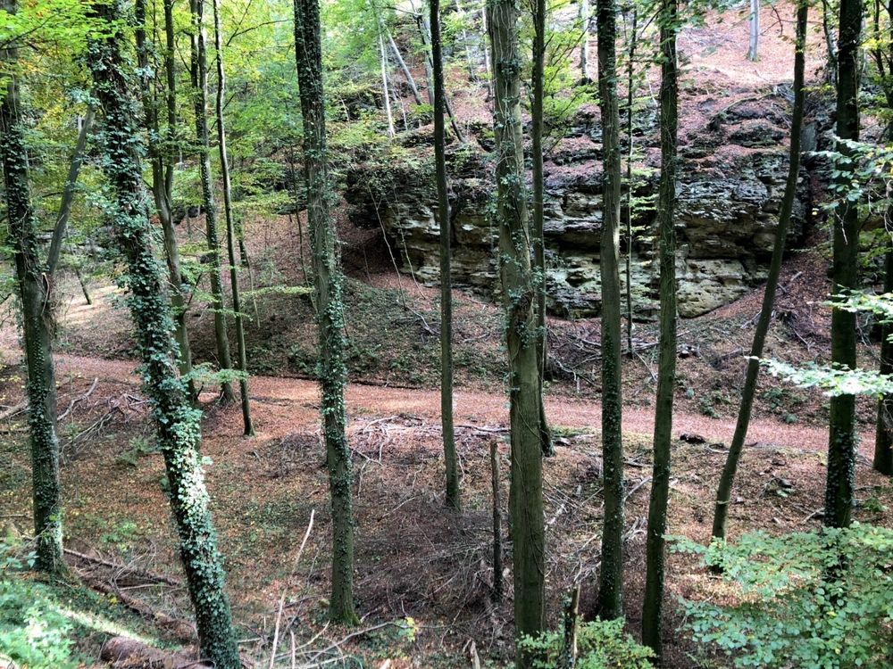
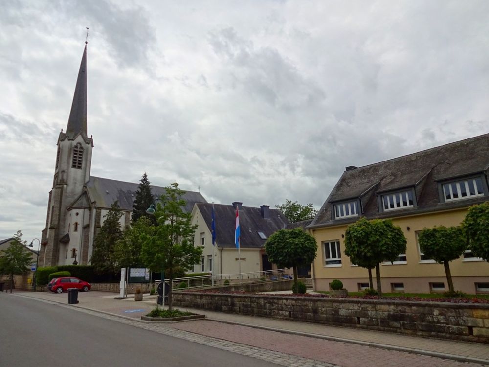
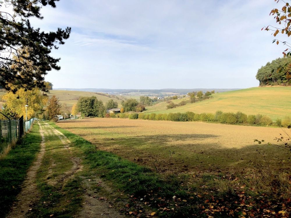
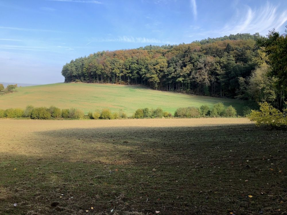
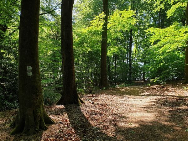
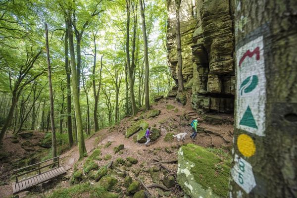
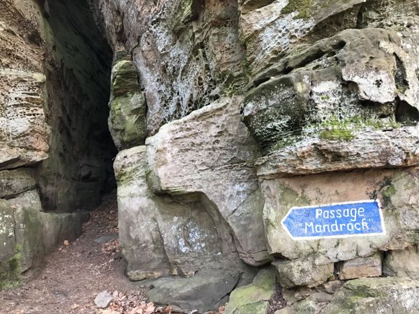
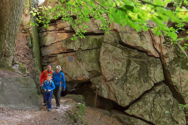
This hiking route partly takes you through the village of Nommern and through the peaceful forest.

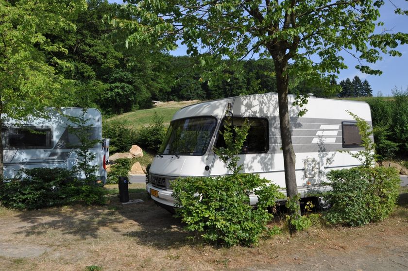
The hiking route initially leads from the starting point to the right towards Camping Nommerlayen. Before the campsite, the path leads left uphill. After about 300 meters, turn left where a longer ascent awaits. After crossing the road to Larochette, you reach the highest point of the hiking route. Afterwards, it goes downhill again on a forest path back to the starting point. Part of the hike follows the route of the former Jhangli narrow-gauge railway, which was used from 1882-1948.

Suggestions nearby

Local hiking route - N2

  • ©Europacamping Nommerlayen
    Europacamping Nommerlayen
    Animation programmePets allowedParkingElectric car charging stationsWellnessPool
  • ©Europacamping Nommerlayen
    Restaurant "An de Nommerlayen"
    Restaurant "An de Nommerlayen"
    Find out more
  • ©Europacamping Nommerlayen
    Camping car spaces Europacamping Nommerlayen
  • ©Distillery Miny
    Distillery Miny
    Regional schnapps, liqueurs and gin wait for you at the Miny distillery.
    Find out more

Similar hiking tours

©Visit Luxembourg
Thematic paths
Circular hiking trail through the Deiwelskopp nature reserve
Distance: 8,50 km
Duration: 2:27 h
Difficulty: medium
Find out more
©Visit Luxembourg
Circular routes
Local hiking route - F2
Distance: 8,21 km
Duration: 2:30 h
Difficulty: medium
Find out more
©Tom Barnich, Visit Berdorf
Circular routes
Local hiking trail - B17
Distance: 6,14 km
Duration: 1:40 h
Difficulty: medium
Find out more
©Visit Luxembourg
Thematic paths
Didactic nature path "Joffer Margot"
Distance: 6,88 km
Duration: 2:00 h
Difficulty: medium
Find out more
©Visit Luxembourg
Circular routes
Local hiking route - B12
Distance: 3,25 km
Duration: 0:55 h
Difficulty: medium
Find out more
©Visit Luxembourg
Circular routes
Local route - B10
Distance: 4,99 km
Duration: 1:20 h
Difficulty: medium
Find out more
©Visit Luxembourg
Thematic paths
Memorial Route
Distance: 20,46 km
Duration: 5:40 h
Difficulty: medium
Find out more
©L. Schömer, Visit Luxembourg
Circular routes
Auto-pédestre trail Bollendorf-Pont
Distance: 8,67 km
Duration: 2:40 h
Difficulty: medium
Find out more
©Visit Luxembourg
Circular routes
Auto-Pédestre hiking route Echternach Centre
Distance: 6,71 km
Duration: 2:00 h
Difficulty: medium
Find out more
outdooractive This website uses technology and content from the Outdooractive Platform.