Description
Varied circular route from Medernach with great views of Larochette Castle (Fiels), through forest, meadows, along water and through the lively town of Larochette.
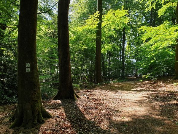
The varied circular route first leads to the Medernach Kengert barefoot path. Here it’s time to take off your shoes and go exploring. There is also a motor skills park where you can test your balance and coordination. Then you walk past a spring (Ousterbuer) and later through the busy town of Larochette with numerous cafés and a lively marketplace – perfect for a break. From there, the route continues with great views of Fiels Castle. Forest, meadows and open land alternate pleasantly on this path.
Signposting

Directions
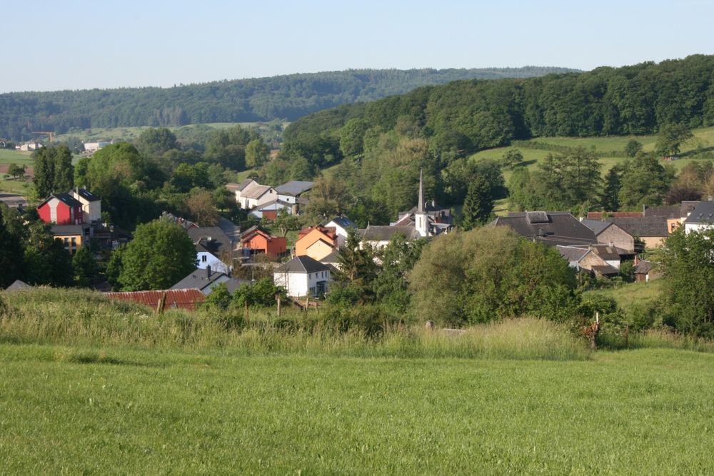
The path starts in front of the Medernach town hall. From there, the route leads out of the village. The first ascent takes you along fields and into the forest with a beautiful view of Medernach. There is the first highlight: a barefoot hiking trail that runs for a short section parallel to the hiking trail. Those who wish can take a break here and take off their shoes to complete the approximately 700 m long barefoot path. There is also a motor skills park here where you can prove your dexterity. Nearby is the Kengert campsite with a refreshment option.
From there, the route continues over meadows and through the forest, along a stream and past the rather inconspicuous Ousterbuer spring. Behind this spring hides an old story about two friends who reconciled here on Easter Sunday after a quarrel and whose tears of reconciliation are said to be the origin of the spring. The water from this spring is of drinking water quality.
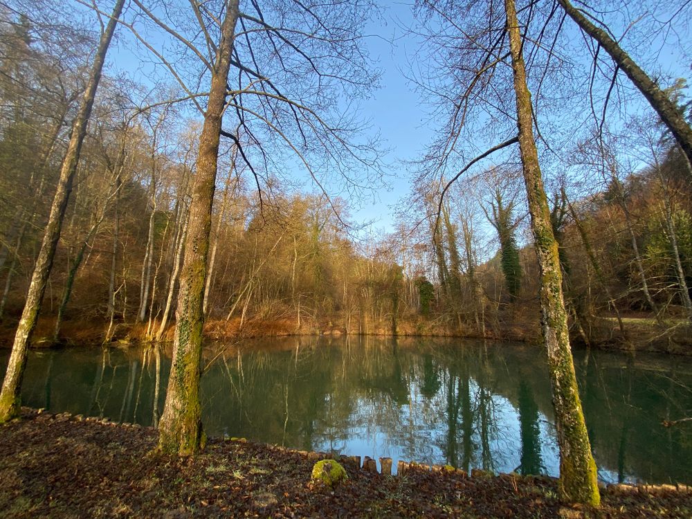
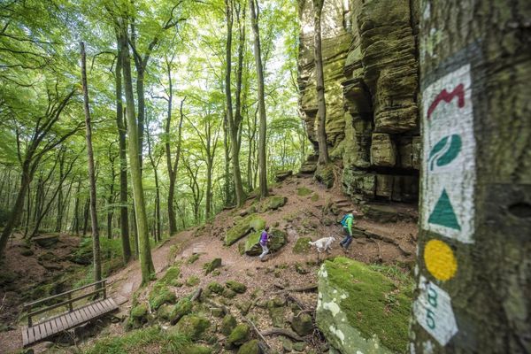
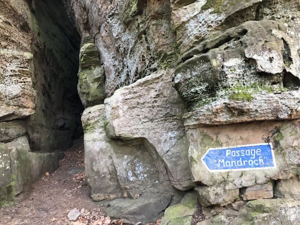
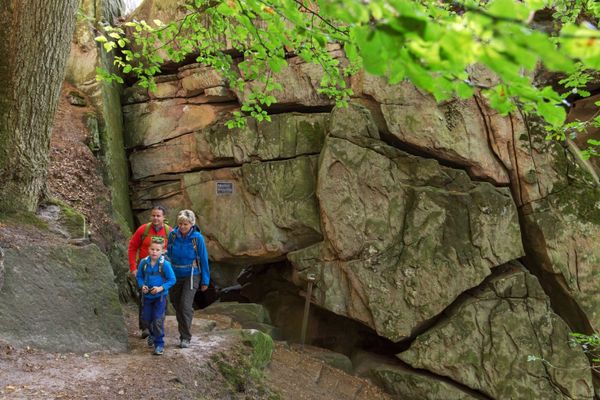
Further on, the path leads through the forest, along beautiful rock formations until you come out of the forest above two ponds. A staircase leads down from there.
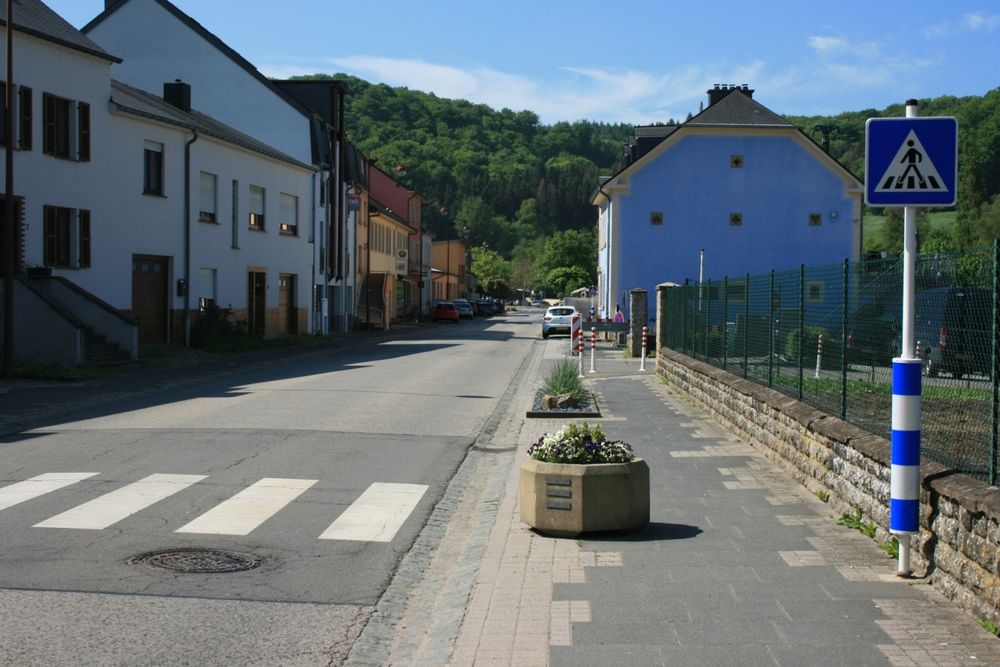
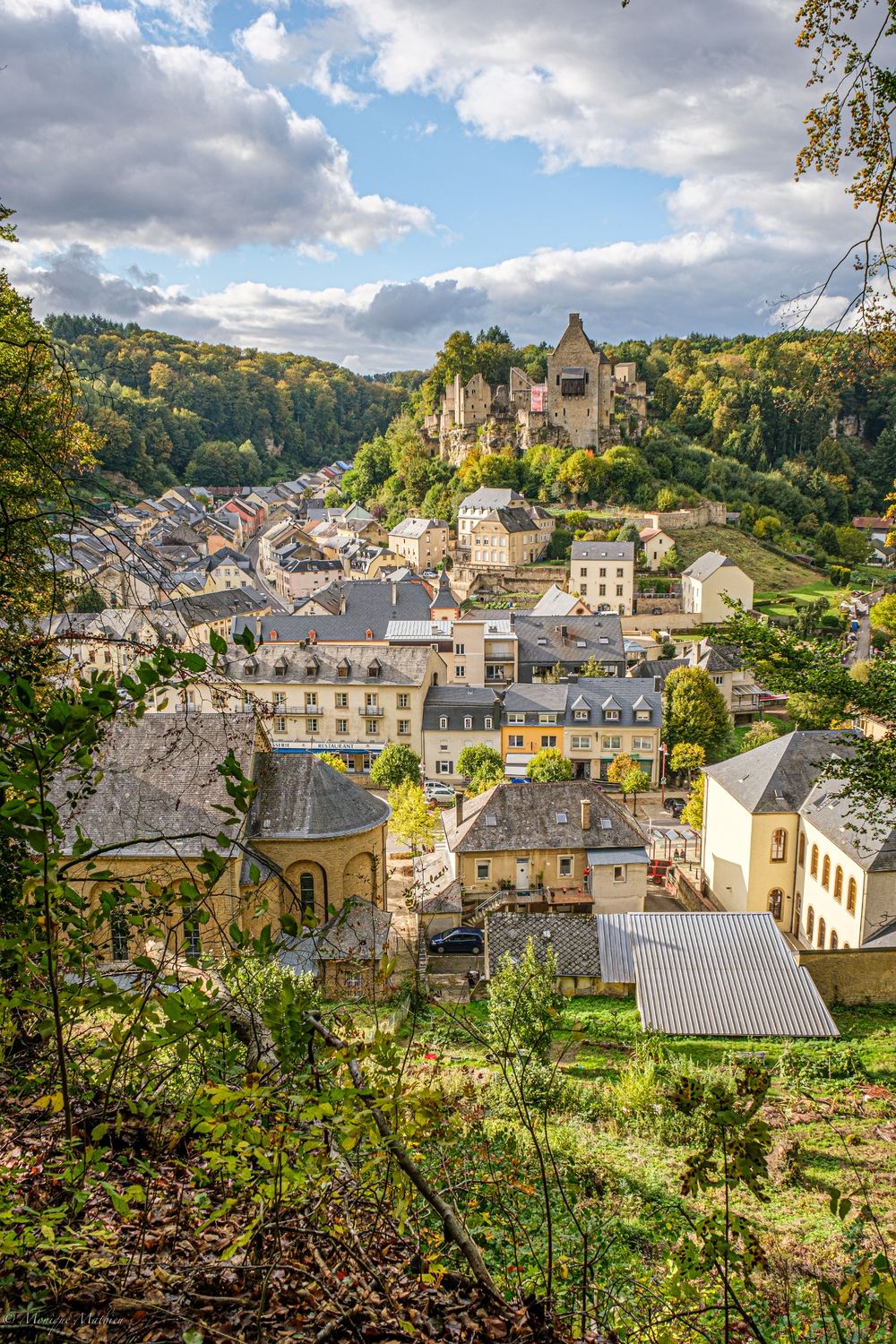
Now the path leads into Larochette – a busy town with some small cafés, a lively square and many opportunities for refreshments. Those who wish can take a short detour to the modern tourist information office in Larochette or simply observe the bustling life.
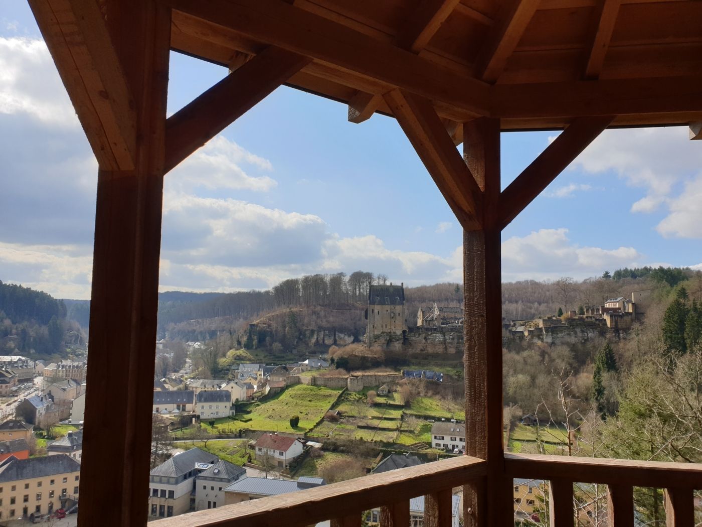
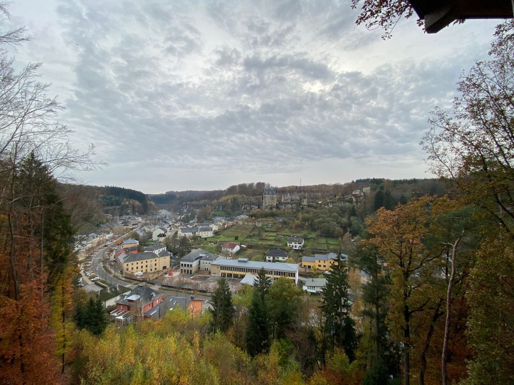
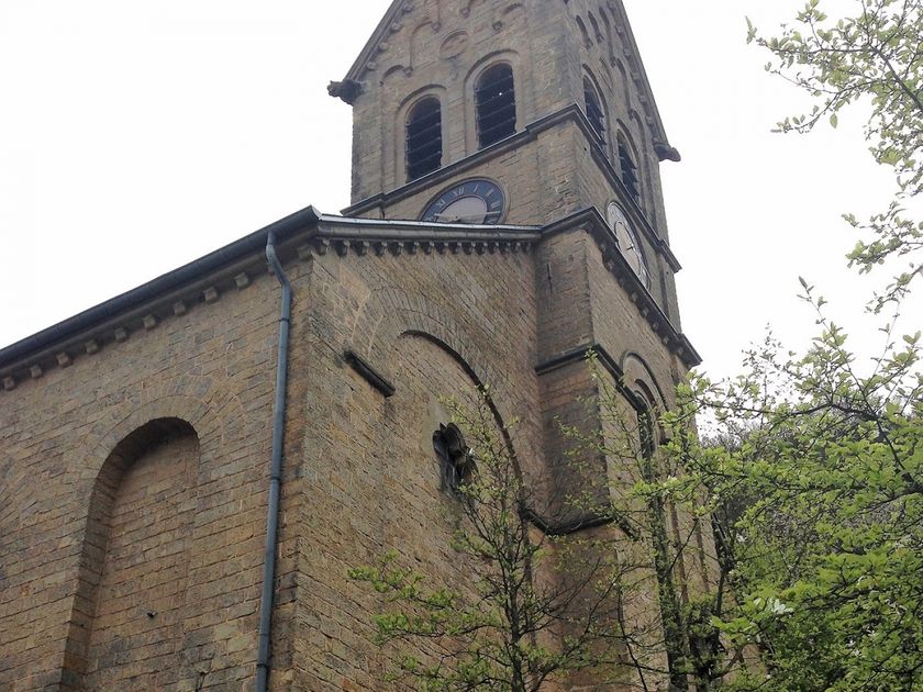
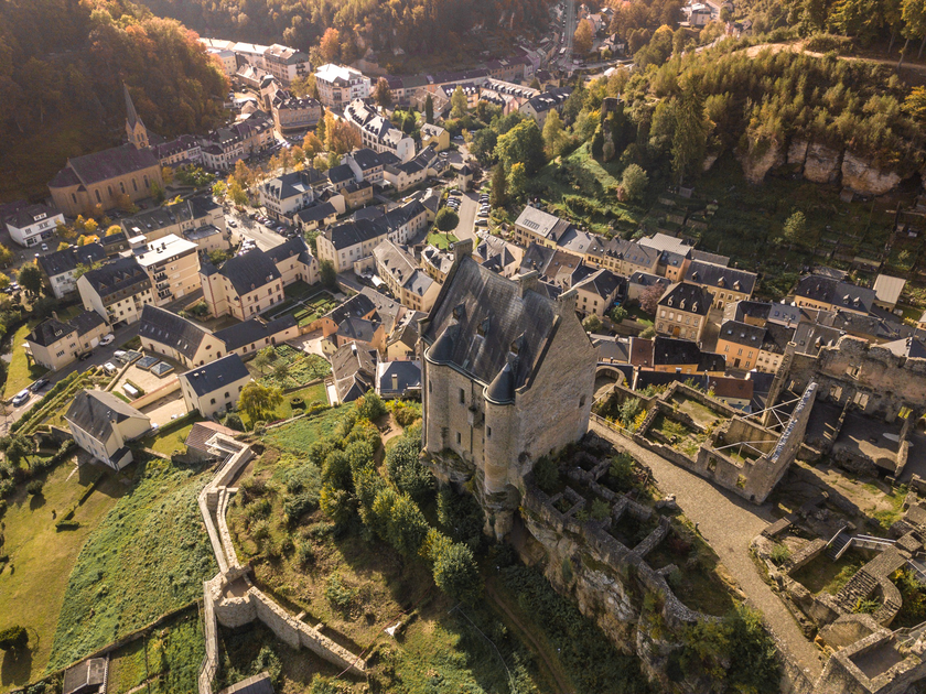
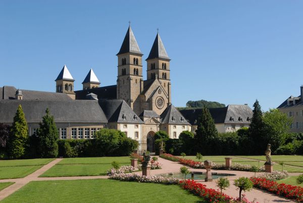
Behind Larochette church, a further ascent leads through the forest out of Larochette to Himmelsbierg. The name of this place already suggests much: From here, you can enjoy a fantastic view of Larochette Castle.
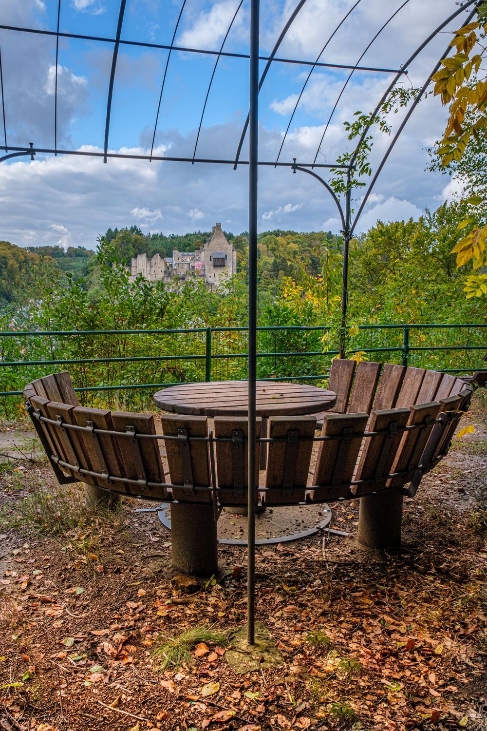
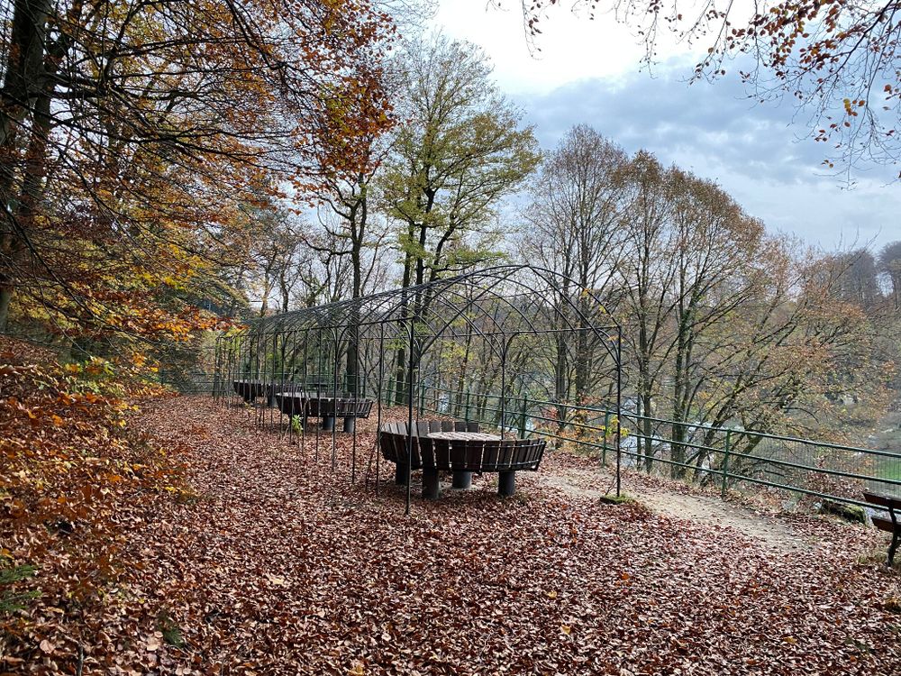
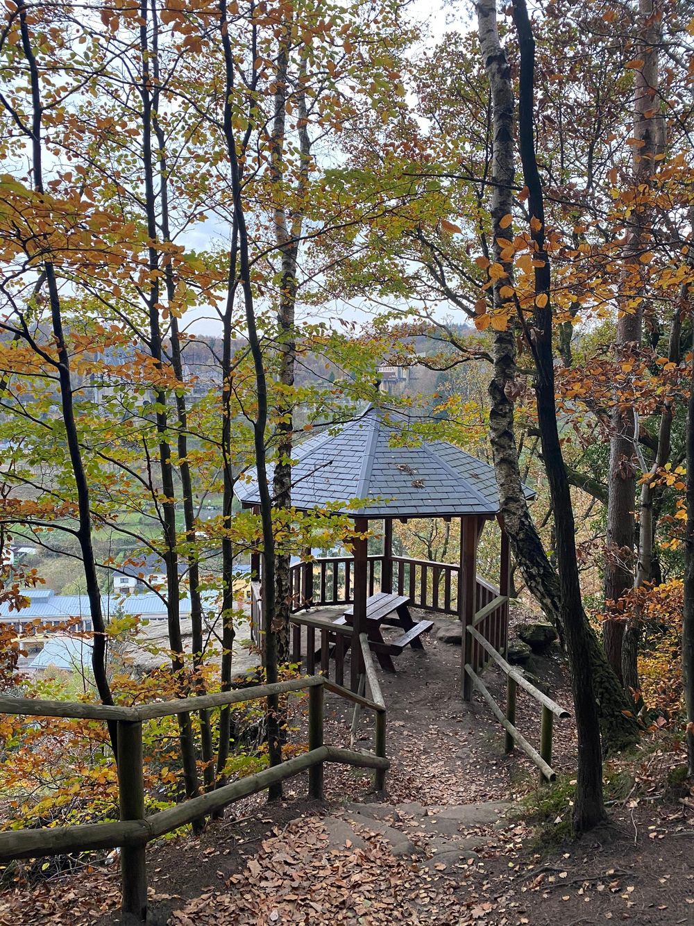
Another beautiful viewpoint, Salzdeebelchen, is a little later at a pavilion, which is perfect for a small break and a moment of silence.
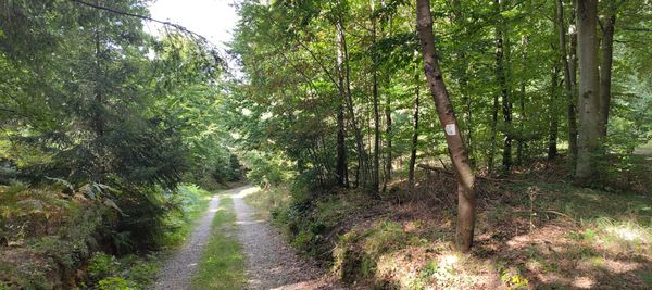
Further on, the path alternates between forest and open land, passing some old farms. The highest point of the hike (400 m) is also the point from which the last two kilometers of the route head back towards Medernach. There are refreshment options here.
Journey
Nearest bus stop: Medernach, Op der Lann (25 m)
Parking:
Nearest parking: Complexe Scolaire (250 m)


 This website uses technology and content from the Outdooractive Platform.