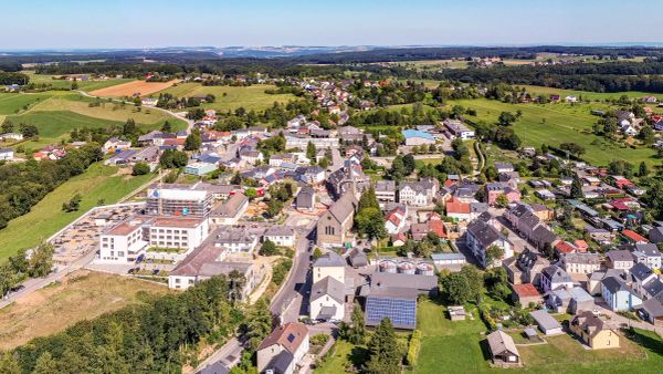
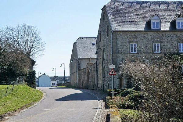
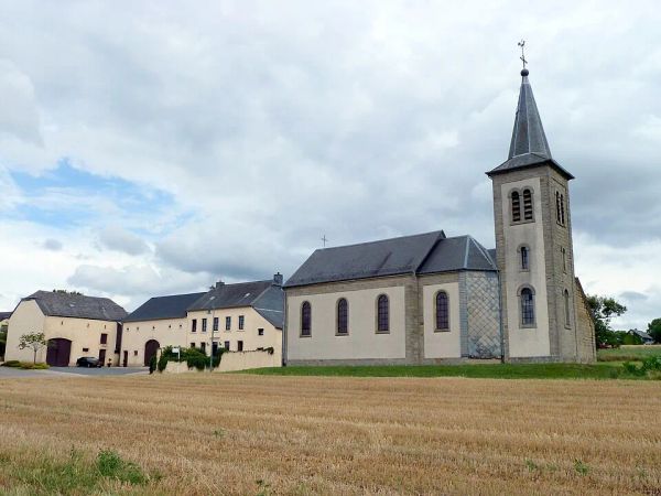
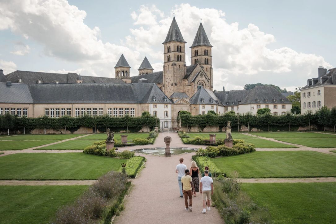
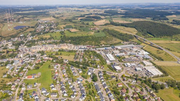
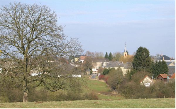
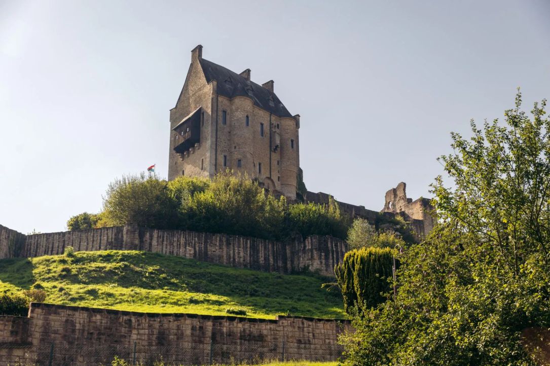
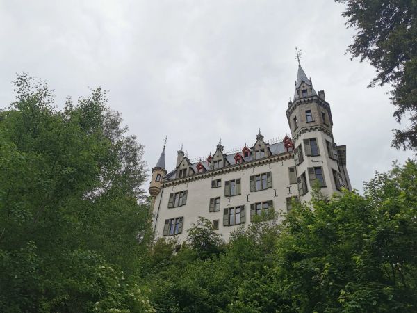
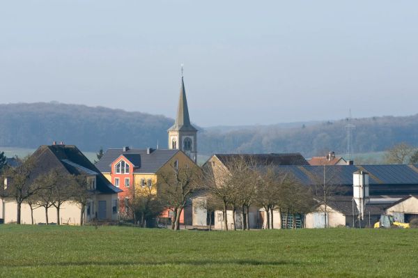
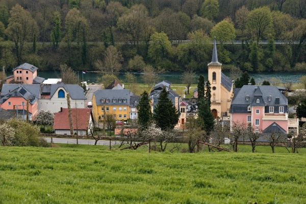
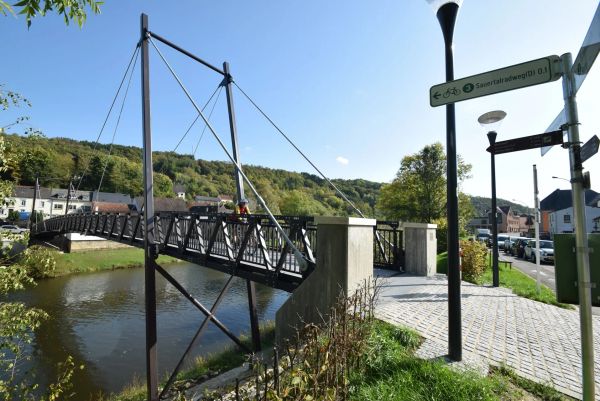
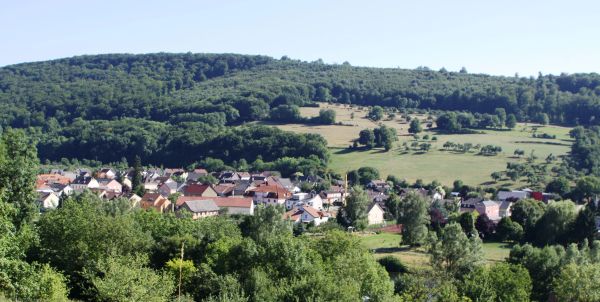
The region and its municipalities

Explore the charm of the Mullerthal Region’s localities, rich in history and natural beauty

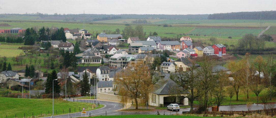
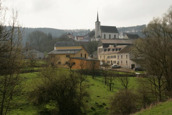
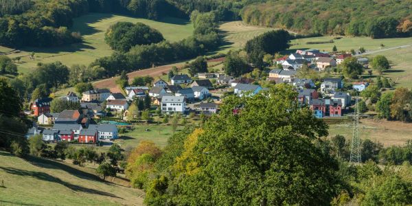
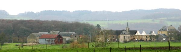
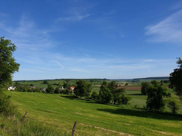
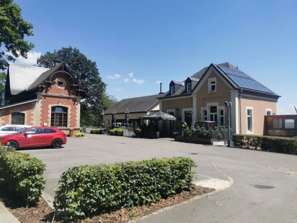
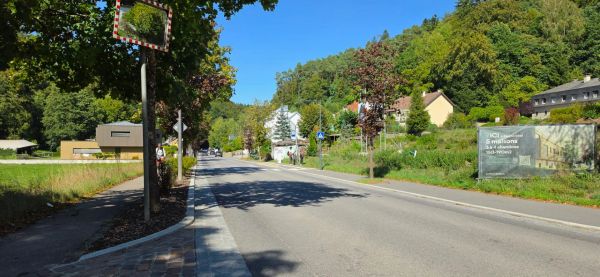
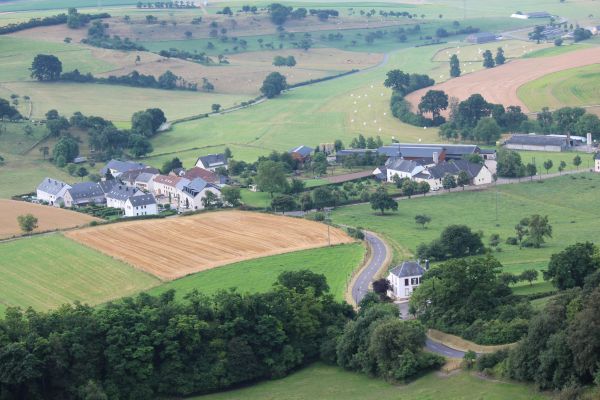
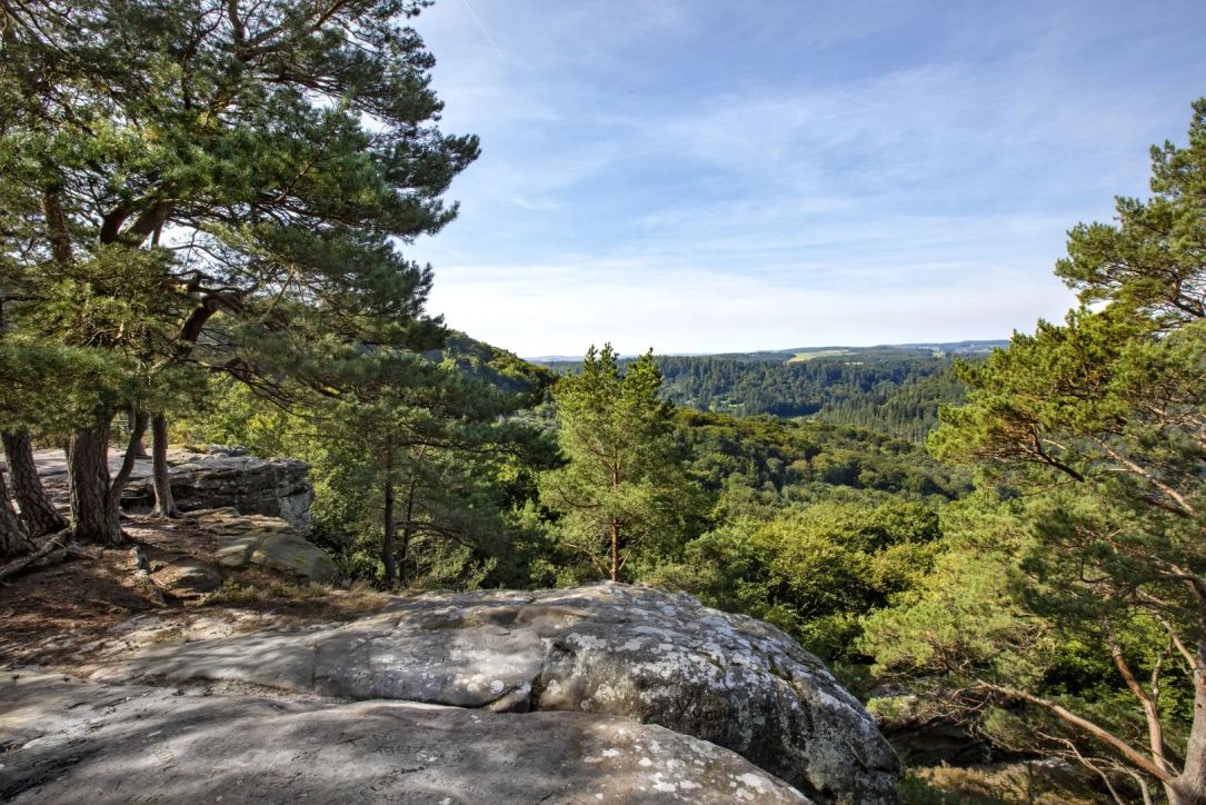
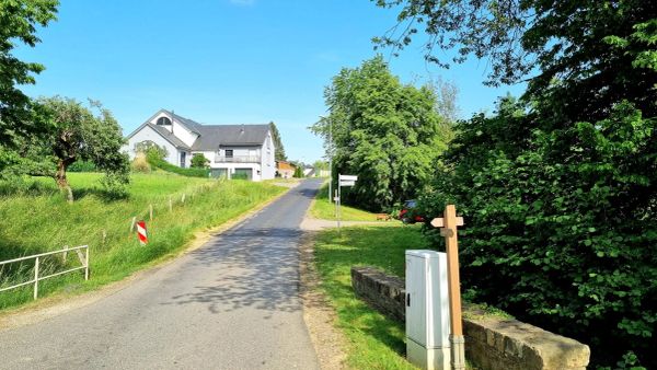
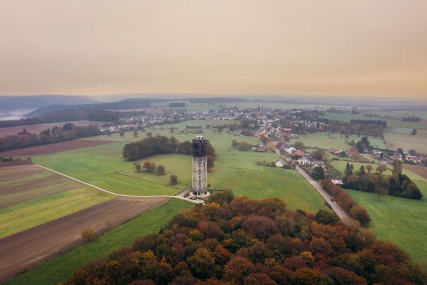
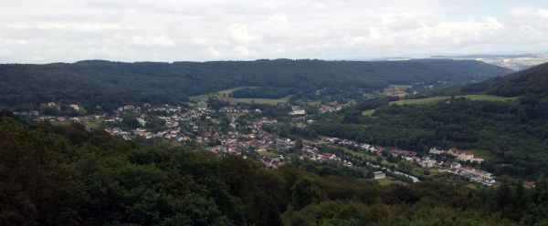
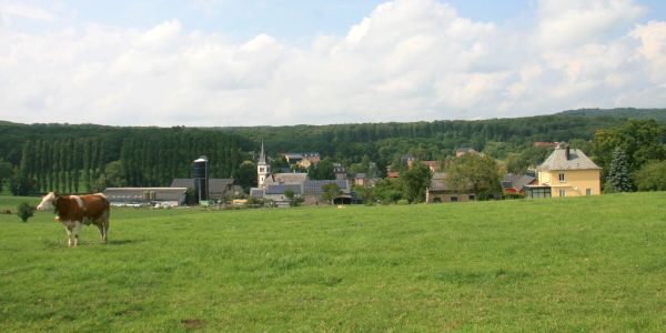
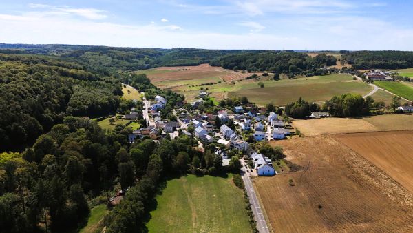
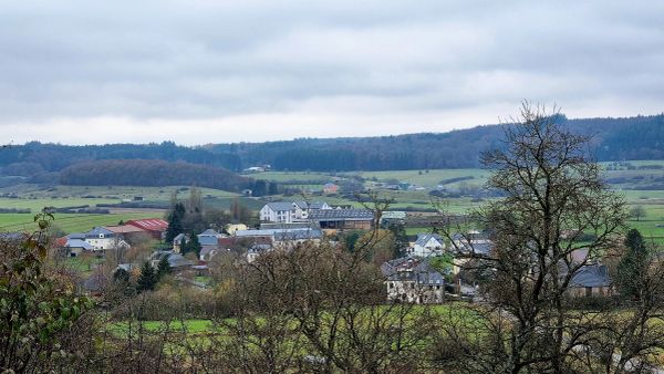
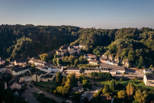
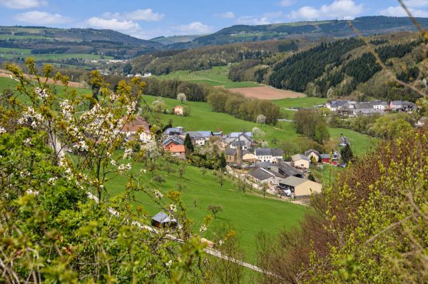
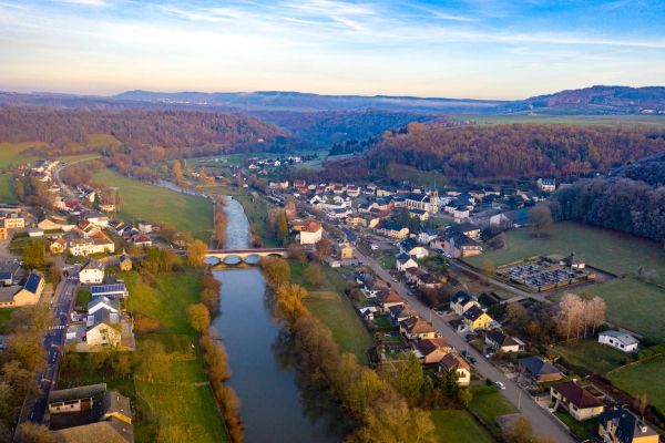
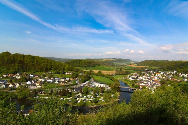
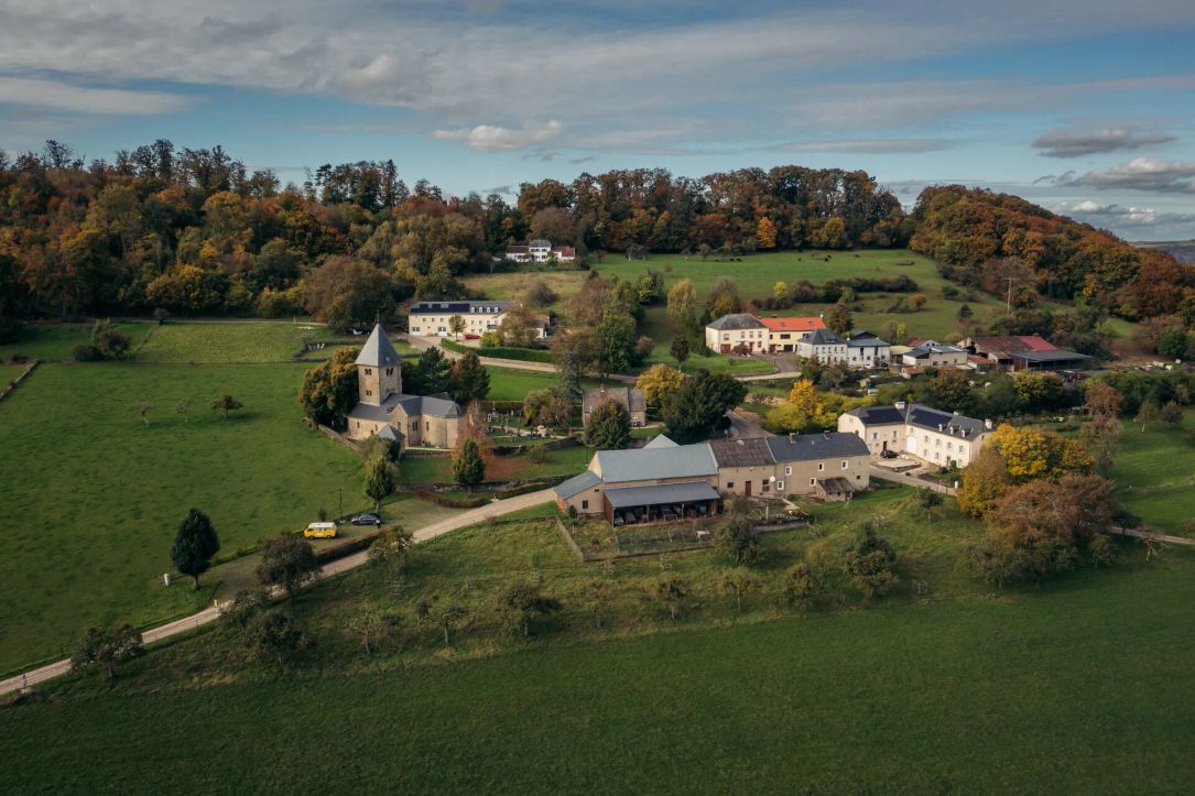
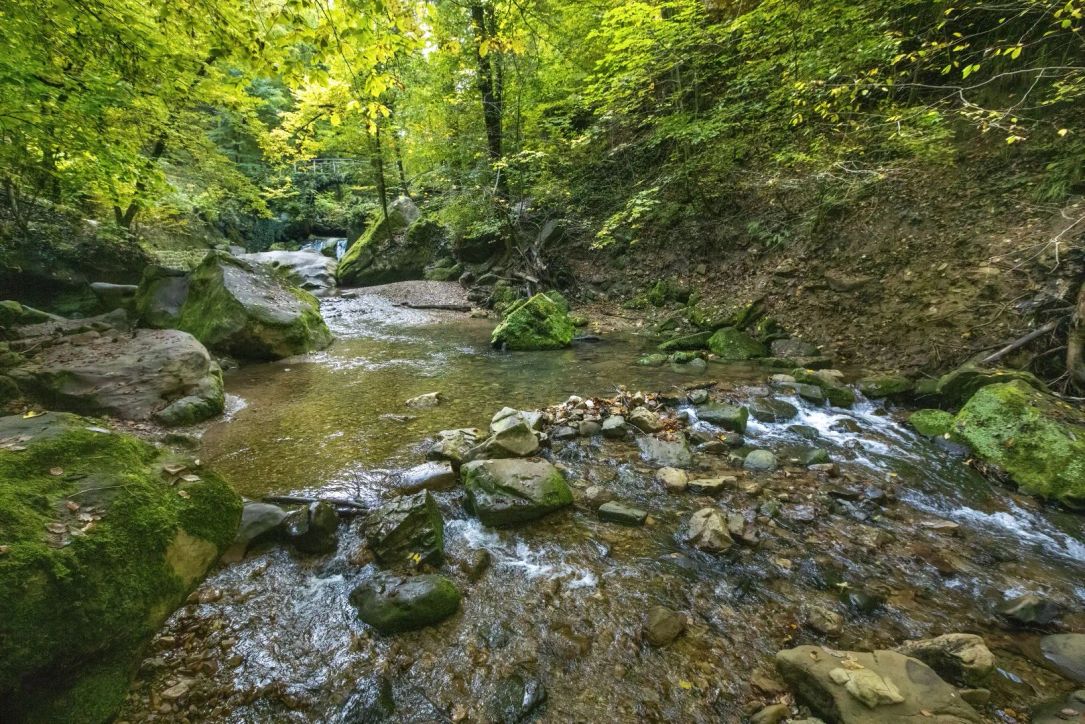
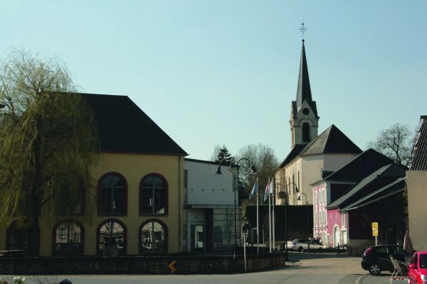
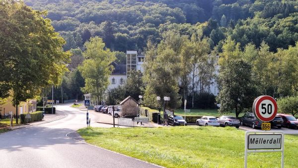
The localities of the Mullerthal Region offer a blend of history, culture, and picturesque landscapes. Many villages have their unique charm. From the bustling centers to the tranquil village life, visitors can experience the true essence of Luxembourg's Little Switzerland. Discover the cultural heritage and picturesque beauty of the region’s villages, each offering a different perspective of this scenic area.
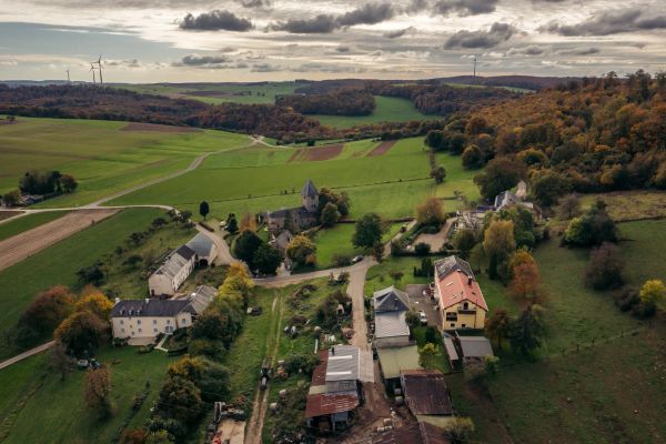
Aerenzdallgemeng

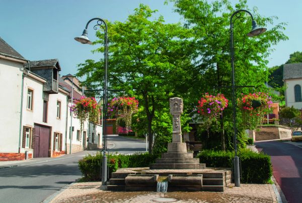
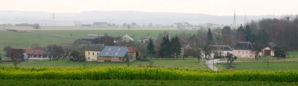
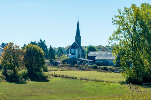
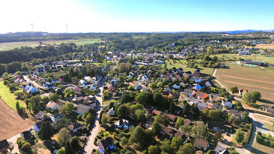
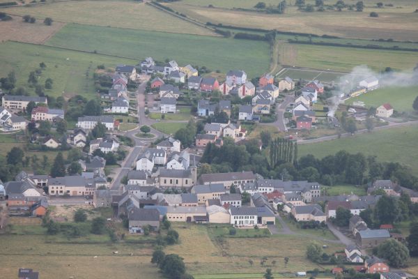
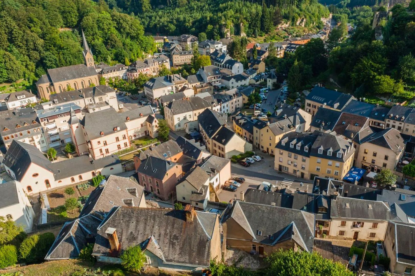
The municipality of "Aerenzdall" consists of the villages of Ermsdorf, Eppeldorf, Folkendange, Keiwelbach, Medernach, Stegen and Savelborn.
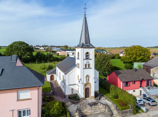
This part of the Mullerthal Region offers a mixture of rural tranquillity and a variety of leisure activities, including hiking trails and cultural events.
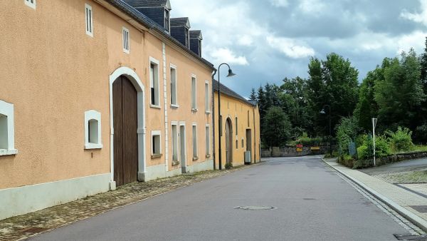
The surrounding area is characterised by natural monuments and historic buildings, ideal for visitors who appreciate nature and history in equal measure.

Discover Aerenzdallgemeng
©LEADER
Eppeldorf
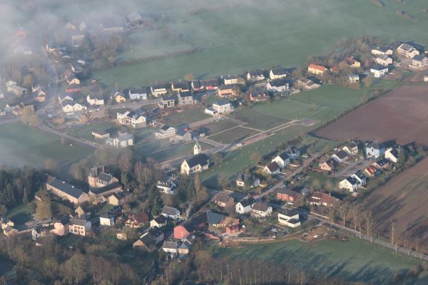
Eppeldorf is an idyllic rural village in the Aerenzdallgemeng, surrounded by forests and open countryside and ideal for peaceful explorations of the Mullerthal Region.
Find out more
©Pierre HAAS
Ermsdorf
Ermsdorf is nestled in the green countryside of the Aerenzdallgemeng and is an ideal starting point for exploring the varied natural landscapes of the Mullerthal Region on foot.
Find out more
©Les Meloures / Wikimedia Commons / CC BY-SA 3.0
Folkendange
Folkendange is a small, idyllic village in the Aerenzdallgemeng, surrounded by fields and forests and an ideal starting point for a peaceful hike through the landscapes of the Mullerthal Region.
Find out more

No image available
Keiwelbach
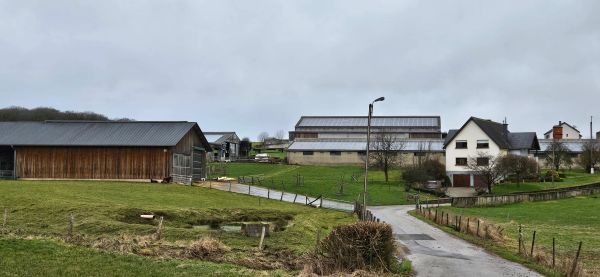
Keiwelbach is a small, peaceful hamlet in the Aerenzdallgemeng, surrounded by the rural landscapes in the north of the Mullerthal Region.
Find out more
©Aerenzdallgemeng
Medernach
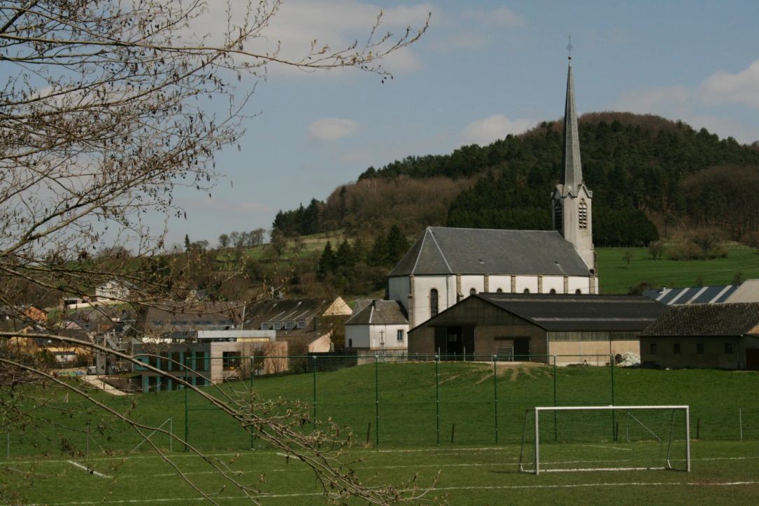
Medernach is idyllically situated in the valley of the White Ernz and combines rural charm with a variety of opportunities for active experiences in nature.
Find out more
©Les Meloures / Wikimedia Commons / CC BY-SA 3.0
Savelborn
Savelborn is a small, peaceful hamlet in the Aerenzdallgemeng, surrounded by rural landscapes and characterised by its historic chapel.
Find out more
©Pierre HAAS
Stegen
Stegen is a rural village in the Aerenzdallgemeng, surrounded by fields and forests and a great starting point for hikes through the peaceful landscapes of the Mullerthal Region.
Find out more
Find out more

Beaufort

The municipality of Beaufort is located in the eastern part of the Mullerthal Region and combines beautiful natural landscapes with a rich historical heritage. Forests, impressive sandstone rock formations, picturesque valleys and the Sûre River shape its varied landscape.

Beaufort is particularly known for its medieval castle ruins and Renaissance castle, which offer fascinating insights into the region's history. Numerous hiking trails, including Route 3 of the Mullerthal Trail and ExtraTour B, invite visitors to explore the surrounding nature. The Beaufort Ice Park in winter and the outdoor Aqua Park in summer provide additional opportunities for leisure and recreation.

Discover the municipality of Beaufort and its three villages of Beaufort, Dillingen and Grundhof, and enjoy their diverse landscapes, cultural heritage and outdoor activities.

Discover Beaufort
Beaufort
©GilPe / Wikimedia Commons / CC BY-SA 4.0
Grundhof
Grundhof is idyllically situated at the confluence of the Black Ernz and the Sauer and, with its wooded valleys, is a beautiful starting point for exploring the varied landscapes of the Mullerthal Region.
Find out more
©LEADER
Dillingen
Dillingen is idyllically situated on the Sauer and combines the peaceful atmosphere of a small village with opportunities for hiking, cycling and canoeing in the Mullerthal Region.
Find out more
©Anne Lommel
Beaufort
Beaufort combines fascinating history with the characteristic natural landscapes of the Mullerthal Region. A medieval castle, a Renaissance castle, forests, rock formations and idyllic stream valleys make the village a varied starting point for exploring the area.
Find out more
Find out more

Bech

The municipality of Bech is made up of the villages of Bech, Altrier, Blumenthal, Geyershof, Graulinster, Hemstal, Hersberg, Kobenbour, Rippig and Zittig. The ancient narrow-gauge railway between Luxembourg-City and Echternach, 46 km long, operated by the famous train called “Charli” passed through Bech. The former tunnel in Bech had been transformed into a cycle path. Various hiking paths also pass through this tunnel. 

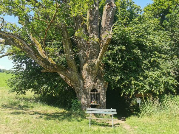
In Altrier you can find the Bildchen, a 500year old oak tree in the hollow trunk of which there is a niche housing a statue of the Virgin Mary. Every year on the evening of 15 August, many devotees of the Virgin Mary gather in Altrier for a candlelit procession. Bildchen is also set on Route 2 of the Mullerthal Trail. 

Discover Bech
Bech
©Zinneke / Wikimedia Commons – CC BY-SA 3.0
©GilPe / Wikimedia Commons / CC BY-SA 4.0
Geyershof
Geyershof is a small, peaceful village in the municipality of Bech. Surrounded by forests and rural landscapes, it offers a glimpse of the quieter side of the Mullerthal Region.
Find out more
©ORT MPSL
Hersberg
Hersberg is a small rural village in the municipality of Bech. Extensive forests, hiking trails and the historic “Bildchen” with its approximately 500-year-old oak tree give the village its distinctive character.
Find out more
©Zinneke / Wikimedia Commons / CC BY-SA 3.0
Rippig
Rippig is a rural village in the municipality of Bech. The former railway line, Rippiger Gare and the surrounding fields and meadows shape the peaceful setting of the village.
Find out more
©ORT MPSL
Hemstal
Hemstal is a peaceful, rural village in the municipality of Bech. The village lies along the former route of the “Charly” narrow-gauge railway and is surrounded by fields, meadows and forests.
Find out more
©ORT MPSL
Altrier
Altrier lies on the edge of extensive forests and, with its rural surroundings, traces of history and varied hiking trails, is a great starting point for discovering the Mullerthal Region.
Find out more
©ORT MPSL
Graulinster
Graulinster is a rural village extending across the municipalities of Bech and Junglinster. Fields, meadows and forests shape its peaceful surroundings in the western part of the Mullerthal Region.
Find out more
©ORT MPSL
Bech
Bech combines rural charm with varied nature experiences. Forests, sandstone rocks and the former railway line around Becher Gare make the village a versatile starting point for hiking and cycling tours.
Find out more
©GilPe / Wikimedia Commons / CC BY-SA 4.0
Blumenthal
Blumenthal is a small, rural village in the municipality of Bech. Surrounded by forests and fields, it lies directly on the Mullerthal Trail and is a good starting point for hikes in the Mullerthal Region.
Find out more
©Zinneke / Wikimedia Commons / CC BY-SA 3.0
Zittig
Zittig is a small rural village in the municipality of Bech. Fields, meadows and forests shape its peaceful surroundings, while a local cycling route passes through the village.
Find out more
Find out more

Berdorf

The municipality of Berdorf is located in the heart of the Mullerthal Region and is known for its spectacular sandstone rock formations, extensive forests and picturesque villages. Its varied landscapes stretch from the rocky plateau of Berdorf down to the scenic Sûre Valley along the German border.

Berdorf is particularly popular with hikers and nature lovers. Route 2 of the Mullerthal Trail and numerous local hiking trails lead through impressive rock formations, narrow passages and beautiful forests. The Aquatower in Berdorf offers panoramic views and an exhibition about water, while mountain biking routes provide further opportunities to explore the surroundings.

Discover the municipality of Berdorf and its five villages of Berdorf, Bollendorf-Pont, Grundhof, Kalkesbach and Weilerbach, and enjoy their diverse landscapes, natural attractions and outdoor activities.

Discover Berdorf
View from the Teufelsinsel platform with a panoramic view of the surroundings
©C. Bosseler
©GilPe / Wikimedia Commons / CC BY-SA 3.0
Kalkesbach
Kalkesbach is a small rural village between Berdorf and Consdorf. Fields, forests and its peaceful location on the plateau characterise the surrounding landscape.
Find out more
Grundhof
Grundhof is idyllically situated at the confluence of the Black Ernz and the Sauer and, with its wooded valleys, is a beautiful starting point for exploring the varied landscapes of the Mullerthal Region.
Find out more
©Anne Lommel
Berdorf
Berdorf is one of the most important hiking destinations in the Mullerthal Region. Spectacular sandstone rocks, narrow crevices, caves and extensive forests surround the village, making it an ideal starting point for hikes on the Mullerthal Trail and numerous local hiking trails.
Find out more
©LSDSL / Wikimedia Commons / CC BY-SA 3.0
Bollendorf-Pont
Bollendorf-Pont is located directly on the Sûre River and on the Luxembourg-German border. Its setting between the river, forests and rocks makes it a great starting point for hikes on both sides of the border.
Find out more
©Christian Ries / Wikimedia Commons / CC BY-SA 3.0
Weilerbach
Weilerbach is located directly on the Sûre River and on the Luxembourg-German border. Its peaceful riverside setting and connection to Germany make it an interesting starting point for hiking.
Find out more
Find out more

Consdorf

The municipality of Consdorf is located in the Mullerthal Region and is characterised by impressive sandstone rock formations, extensive forests and picturesque villages. Its varied landscapes combine peaceful countryside with narrow rocky passages and beautiful wooded valleys.

Consdorf is particularly popular with hikers and nature lovers. Route 2 of the Mullerthal Trail and numerous local hiking trails lead through fascinating rock formations and scenic forests. Highlights include the Kuelscheier, a spectacular dark rock passage, as well as the narrow crevices of Rittergang and Déiwepëtz. Cyclists can also explore the municipality on scenic routes through its varied landscapes.

Discover the municipality of Consdorf and its villages of Consdorf, Scheidgen, Breidweiler, Colbette, Marscherwald and Wolper, and enjoy their beautiful landscapes and outdoor activities.

Discover Consdorf
Consdorf
©Vision Photography / John Oesch

No image available
Wolper
Wolper is a small rural village in the municipality of Consdorf. Fields, meadows and its peaceful location characterise the surroundings.
Find out more
©GilPe / Wikimedia Commons / CC BY-SA 4.0
Colbette
Colbette is a small rural village in the municipality of Consdorf. Fields, meadows and its peaceful setting characterise the village.
Find out more
©Orjeco
Scheidgen
Scheidgen lies amid the varied landscapes of the Mullerthal Region. Forests, sandstone rocks and open countryside surround the village, making it a great starting point for hiking.
Find out more
©Vision Photography / John Oesch
Consdorf
Consdorf is one of the major hiking destinations in the Mullerthal Region. Extensive forests, impressive sandstone rocks and narrow rocky passages surround the village, making it an ideal starting point for hiking.
Find out more
©GilPe / Wikimedia Commons / CC BY-SA 4.0
Marscherwald
Marscherwald is a small, peaceful village in the municipality of Consdorf. Forests and the valley of the Black Ernz characterise its natural surroundings, which are also crossed by Route 3 of the Mullerthal Trail.
Find out more
©Johnny Chicago / Wikimedia Commons / CC BY-SA 3.0 LU
Breidweiler
Breidweiler is a small rural village in the municipality of Consdorf. Fields, meadows and nearby forests characterise its peaceful surroundings.
Find out more
Find out more

Echternach

Echternach, the oldest town in Luxembourg, founded in 698 by the Anglo-Saxon monk Willibrord, is the tourist and economic centre of the Mullerthal Region - Luxembourg's Little Switzerland.

History has left behind numerous architectural witnesses, which are amply documented on the ‘Via Epternacensis’, a cultural trail through the city and the museums.

The highlights of Echternach include the Romanesque Basilica, the ancient baroque Benedictine abbey with its abbey museum, the market square with the Denzelt and the municipal park with its rococo pavilion. The remains of the medieval towers are being let out as holiday flats. The lake of Echternach is a perfect place to walk, cycle, relax or swim during summer. There you will also discover the remains of Roman villa one of the biggest north of the Alps.

The famous Hopping Procession, UNESCO Intangible Cultural Heritage, takes place on Whit Tuesday..

Discover Echternach
©Anabela and Jorge Valente - diariesof
Echternach
Echternach, Luxembourg’s oldest town, combines a rich historical and cultural heritage with the natural landscapes of the Mullerthal Region. The Basilica of St Willibrord, the historic old town, the Echternach Hopping Procession and Echternach Lake are among the town’s best-known sights and experiences.
Find out more

Fischbach

The municipality of Fischbach is located in the western part of the Mullerthal Region, between Mersch and Larochette. It is characterised by picturesque villages, extensive forests, peaceful valleys and beautiful natural landscapes.

Fischbach also has a fascinating industrial history. Between 1820 and 1857, the area was an important centre of iron production, as reflected in the Al Schmelz geosite. Today, numerous hiking trails invite visitors to explore the surrounding countryside, including ExtraTour E of the Mullerthal Trail, which leads through forests, past rock formations and idyllic ponds.

Discover the municipality of Fischbach with its villages of Fischbach, Angelsberg, Schoos and Koedange, as well as the hamlets of Schiltzberg, Weyer and Stuppicht, and enjoy its natural beauty, hiking opportunities and cultural heritage.

Discover Fischbach
Aal Schmelz
©ORT MPSL
©ORT MPSL
Fischbach
Fischbach lies amid a varied landscape of forests, rock formations and open countryside. Hiking trails such as ExtraTour E of the Mullerthal Trail, the Al Schmelz geosite and the Fischbach ponds make the village an interesting starting point for nature and hiking experiences.
Find out more

No image available
Schiltzberg
Schiltzberg is a small village in the municipality of Fischbach. Forests and open landscapes characterise the peaceful surroundings, which are crossed by several hiking trails.
Find out more
©MMFE / Wikimedia Commons / CC BY-SA 3.0
Weyer
Weyer is a small village in the municipality of Fischbach, situated in the valley of the White Ernz. The historic Notre-Dame Chapel and the peaceful rural surroundings characterise the village.
Find out more
©MMFE / Wikimedia Commons / CC BY-SA 4.0
Angelsberg
Angelsberg is a rural village in the municipality of Fischbach. Open fields, forests and rock formations characterise the surroundings and offer good opportunities to explore the landscape on foot.
Find out more
©GilPe / Wikimedia Commons / CC BY-SA 4.0
Schoos
Schoos is a peaceful village in the municipality of Fischbach. Forests, open meadows and the rural landscape characterise the surroundings and offer pleasant opportunities for short hikes.
Find out more
©GilPe / Wikimedia Commons / CC BY-SA 4.0
Koedange
Koedange is a small village in the municipality of Fischbach, situated in the valley of the White Ernz. Forests, open landscapes and the nearby Kéidenger Brill nature reserve characterise its natural surroundings.
Find out more

No image available
Stuppicht
Stuppicht is a small village in the municipality of Fischbach, situated in the rural landscape of the Mullerthal Region.
Find out more
Find out more

Heffingen

The municipality of Heffingen is located in the Mullerthal Region and is characterised by peaceful countryside, extensive forests, open fields and traditional villages. Its varied landscapes offer beautiful views and numerous opportunities to explore nature.

Heffingen is also known for its fascinating prehistoric heritage. Near the Loschbur rock shelter, the approximately 8,000-year-old skeleton of the “Loschburmann” was discovered, providing valuable insights into Luxembourg's early history. Several hiking trails, including the local trails H1 and H2 and Route 3 of the Mullerthal Trail, invite visitors to discover the surrounding forests, rock formations and historical sites.

Discover the municipality of Heffingen and its villages of Heffingen and Reuland, and enjoy its beautiful landscapes, cultural heritage and hiking opportunities.

Discover Heffingen
Heffingen
©ORT MPSL

No image available
Reuland
Reuland is a village in the municipality of Heffingen, situated in a rural setting of meadows, fields and forests.
Find out more
©ORT MPSL
Heffingen
Heffingen is located in the south of the Mullerthal Region and is surrounded by open fields and forests. The varied landscape offers good opportunities for hiking.
Find out more
Find out more

Junglinster

The municipality of Junglinster is located between the impressive sandstone landscapes of the Mullerthal Region and the extensive forests of the Grünewald. Its picturesque villages, peaceful countryside and rich cultural heritage offer a wide variety of experiences for visitors.

With more than 200 kilometres of hiking trails, the municipality is an attractive destination for nature lovers. The 31.5 km Mullerthal Trail ExtraTour D leads through varied landscapes and historic sites, including Bourglinster Castle. Junglinster is also a lively commercial centre, offering a wide range of shops, restaurants, cafés and services.

Discover the municipality of Junglinster and its villages, and enjoy a diverse combination of nature, culture, shopping and leisure activities in the Mullerthal Region.

Discover Junglinster
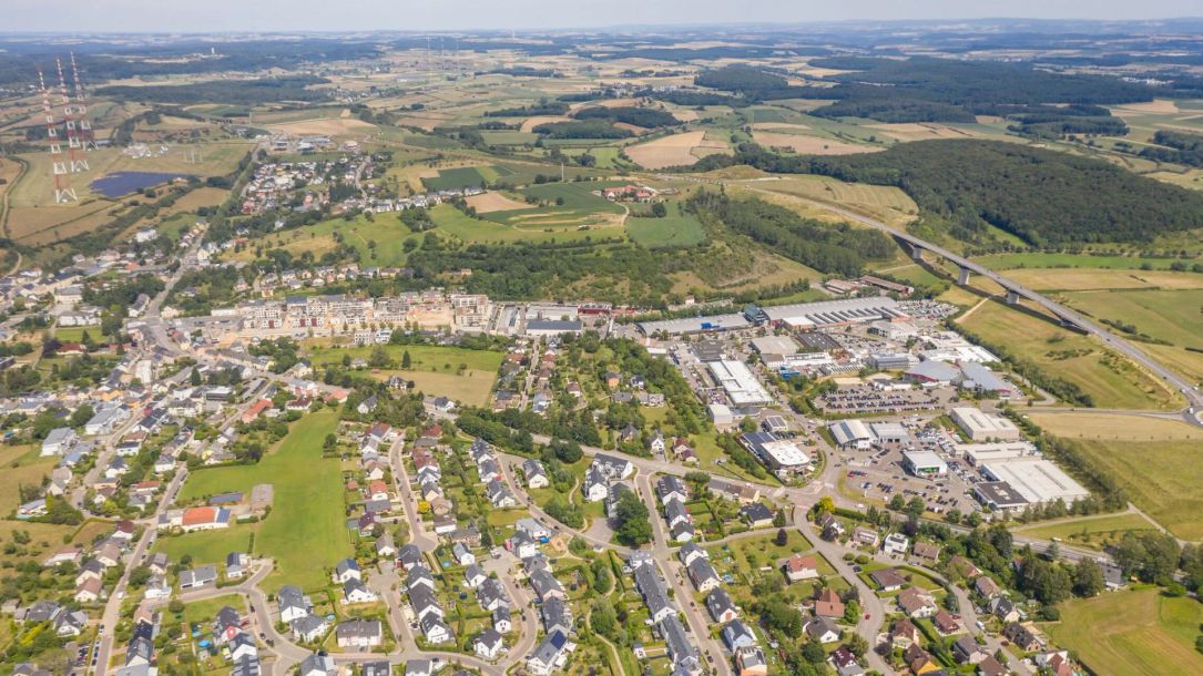
Drone shot with a wide view over Junglinster and its lush surroundings.
©Administration communale de Junglinster
©GilPe / Wikimedia Commons / CC BY-SA 4.0
Imbringen
Imbringen is a small village in the municipality of Junglinster in the valley of the White Ernz. Forests, fields and meadows characterise its peaceful rural surroundings.
Find out more
©Commune de Junglinster
Godbrange
Godbrange is a rural village in the municipality of Junglinster and a good starting point for hikes. Several local circular trails lead through forests and open landscapes and past traces of the area's history.
Find out more
©Ioni / Wikimedia Commons / CC BY-SA 3.0 LU
Beidweiler
Beidweiler is a rural village in the municipality of Junglinster. Fields, meadows and forests characterise the peaceful surroundings and offer beautiful opportunities for hiking.
Find out more
©GilPe / Wikimedia Commons / CC BY-SA 4.0
Eisenborn
Eisenborn is a small rural village in the municipality of Junglinster. Forests, fields and its peaceful setting characterize the surroundings.+
Find out more
©ORT MPSL
Graulinster
Graulinster is a rural village extending across the municipalities of Bech and Junglinster. Fields, meadows and forests shape its peaceful surroundings in the western part of the Mullerthal Region.
Find out more
©GilPe / Wikimedia Commons / CC BY-SA 4.0
Altlinster
Altlinster is a small village in the municipality of Junglinster. Its historic chapel, open countryside and nearby forests characterise the village and its surroundings.
Find out more
©Anne Lommel
Bourglinster
Bourglinster is a picturesque village in the municipality of Junglinster, best known for its impressive castle. The historic village centre, the castle and the surrounding forests give the village its distinctive character.
Find out more
©Commune de Junglinster
Gonderange
Gonderange is a village in the municipality of Junglinster. Fields, meadows and forests characterise the surroundings and offer good opportunities for hiking and cycling.
Find out more

No image available
Rodenbourg
Rodenbourg is a rural village in the municipality of Junglinster, surrounded by fields, meadows and woodland.
Find out more
©Commune de Junglinster
Junglinster
Junglinster is the main town of the municipality of the same name in the south of the Mullerthal Region. It combines a lively centre with rural surroundings of fields and forests.
Find out more
©Johnny Chicago / Wikimedia Commons / CC BY-SA 3.0
Eschweiler
Eschweiler is a rural village in the municipality of Junglinster. Fields, meadows and the nearby “Déckt” forest characterize the peaceful surroundings and offer beautiful opportunities for hiking.
Find out more
Find out more

Larochette

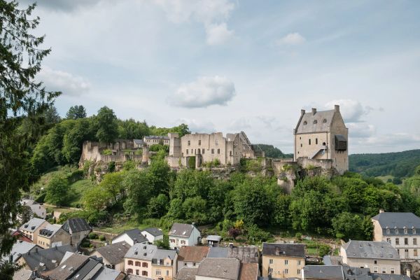
Overlooked by its impressive medieval castle, Larochette is one of the most charming historic towns in the Mullerthal Region. The municipality combines a lively town centre, fascinating cultural heritage and beautiful natural surroundings.

At the heart of Larochette, Place Bleech invites visitors to relax on its terraces or explore the local restaurants, cafés and shops. High above the valley of the White Ernz, Larochette Castle offers a glimpse into the area's medieval past, while the local textile museum recalls its industrial history. Nature lovers can explore the surrounding forests and rock formations along Route 3 of the Mullerthal Trail, ExtraTour E and numerous local hiking trails.

Discover the municipality of Larochette, including Larochette, Ernzen and Meysembourg, and enjoy its unique combination of history, culture, nature and outdoor activities.

Discover Larochette
©ORT MPSL
Meysembourg
Meysembourg is a historic site in the municipality of Larochette, characterised by its private castle and the surrounding landscape.
Find out more

No image available
Ernzen
Ernzen is a small rural village south of Larochette, surrounded by fields, meadows and woodland.
Find out more
©Pancake! Photographie
Larochette
Larochette lies in the valley of the White Ernz, surrounded by wooded slopes and rock formations. Its landmark is the impressive castle ruin towering above the historic town centre.
Find out more
Find out more

Nommern

With its fascinating rock formations, ancient forests and traces of Celtic history, the municipality of Nommern offers a unique combination of nature and cultural heritage in the Mullerthal Region.

Nommern has Celtic roots, as evidenced by various archaeological discoveries. One of its most remarkable natural attractions is the Noumerleeën, where visitors can discover impressive sandstone formations and historical sites such as the mushroom-shaped rock known as the “Lock” and the ancient refuge of “Aalburg”. Numerous hiking trails lead through peaceful forests with old oak and beech trees. Some trails follow the former route of the narrow-gauge railway “Jhangli”, which operated between 1882 and 1948, including sections of the local hiking trail N2. The impressive rock formations of the Noumerleeën can also be explored along the local hiking trail L4.

Discover the municipality of Nommern and its villages of Nommern, Cruchten, Schrondweiler, Oberglabach and Niederglabach, and explore its beautiful landscapes, fascinating history and hiking opportunities.

Discover Nommern
Nommern
©ORT MPSL
©GilPe / Wikimedia Commons / CC BY-SA 4.0
Niederglabach
Niederglabach is a small rural village in the municipality of Nommern, surrounded by fields, meadows and forests.
Find out more

No image available
Oberglabach
Oberglabach is a small rural village in the municipality of Nommern, surrounded by fields, meadows and forests.
Find out more
©Zinneke / Wikimedia Commons / CC BY-SA 3.0
Schrondweiler
Schrondweiler is a rural village in the municipality of Nommern, surrounded by a peaceful landscape of forests and countryside.
Find out more
©Pancake! Photographie
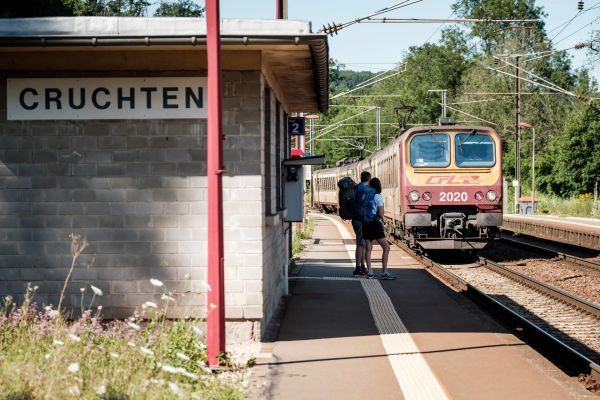
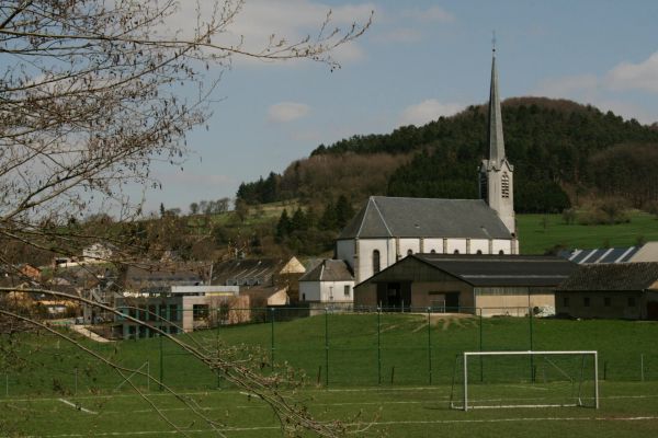
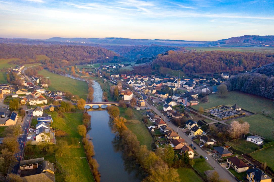
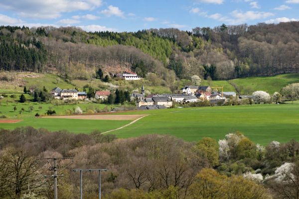
Cruchten
Cruchten lies in the Alzette valley and is surrounded by a rural landscape of meadows, fields and wooded slopes.
Find out more
©ORT MPSL
Nommern
Nommern lies amid a varied landscape of forests, fields and impressive sandstone rocks. The village is particularly known for the rock formations of the Noumerleeën.
Find out more
Find out more

Reisdorf

Situated along the Sûre River, where the Our flows into the Sûre, the municipality of Reisdorf offers a beautiful combination of riverside landscapes, wooded hills and peaceful villages. Its location between the Mullerthal Region and the Luxembourg Ardennes makes it an attractive destination for nature lovers and outdoor enthusiasts.

Numerous local hiking trails invite visitors to explore the surrounding countryside. The Promenade du Souvenir recalls the events of the Second World War, while the national cycle route PC3 follows the Sûre Valley, connecting the area with Echternach and Vianden.

Discover the municipality of Reisdorf and its villages of Reisdorf, Bigelbach, Hoesdorf and Wallendorf-Pont, and enjoy its scenic river valleys, cultural heritage and outdoor activities.

Discover Reisdorf
Drone shot with a wide view over Reisdorf and its surrounding landscape.
©Administration Communale de Reisdorf
©Commune de Reisdorf
Bigelbach
Bigelbach is a small village in the Mullerthal Region, situated on the heights above the Sûre valley. The surrounding area offers extensive views across the Sûre valley as far as the German Eifel.
Find out more
©Commune de Reisdorf
Hoesdorf
Hoesdorf is a small rural village in the municipality of Reisdorf, situated on a plateau near the Our valley.
Find out more
©Commune de Reisdorf
Reisdorf
Reisdorf lies directly on the Sûre, where the White Ernz flows into the river. Wooded hills and river valleys shape the landscape around the village.
Find out more
©Camping du Rivage
Wallendorf-Pont
Wallendorf-Pont is a small village on the Sûre and the German-Luxembourg border. Nearby, the Our flows into the Sûre.
Find out more
Find out more

Rosport-Mompach

Stretching from the scenic banks of the Sûre River to the peaceful countryside around Mompach, the municipality of Rosport-Mompach offers a fascinating combination of nature, history and outdoor activities. Its charming villages, wooded valleys and open landscapes invite visitors to discover a quieter side of the Mullerthal Region.

Hiking and cycling enthusiasts can explore numerous trails, including Route 1 of the Mullerthal Trail and the national cycle route along the Sûre. Cultural highlights include the Tudor Museum, dedicated to the pioneering inventor Henri Owen Tudor, and the picturesque 12th-century Girsterklaus Chapel. Rosport is also known for its naturally carbonated mineral water spring and leisure activities along the river.

Discover the municipality of Rosport-Mompach and its 15 villages, and enjoy its diverse landscapes, fascinating heritage and outdoor experiences.

Discover Rosport-Mompach
Girsterklaus
©Anne Lommel
©Pierre Haas
Mompach
Mompach is situated on a rural plateau in the municipality of Rosport-Mompach. Fields, meadows and forests, along with several hiking and cycling trails, characterise the surrounding area.
Find out more
©Leader
Born
Born lies directly on the Sûre in the east of the Mullerthal Region. Orchards, forests and the river landscape of the Sûre valley shape the surroundings of the village.
Find out more
©Jos Schoellen
Moersdorf
Moersdorf lies directly on the River Sûre at the Luxembourg-German border. The river landscape, the nearby Deiwelskopp nature reserve and numerous hiking and cycling trails characterise the surrounding area.
Find out more

No image available
Givenich
Givenich is a small rural village in the municipality of Rosport-Mompach. Its location on the plateau offers wide views over the surrounding countryside.
Find out more
©Les Meloures / Wikimedia Commons – CC BY-SA 3.0 LU
Steinheim
Steinheim is located in the Sauer Valley between Echternach and Rosport, close to the German border. The village is an ideal starting point for hikes through forests and impressive rock formations, as well as cycling tours along the Sauer River.
Find out more
©ORT MPSL
Boursdorf
Boursdorf is a small rural village in the municipality of Rosport-Mompach, surrounded by fields, meadows and woodland.
Find out more
©ORT MPSL
Herborn
Herborn is a rural village in the municipality of Rosport-Mompach, surrounded by fields and extensive woodland. Route 1 of the Mullerthal Trail passes through the village and the nearby Hierberbësch nature forest reserve.
Find out more
©ORT Mullerthal
Osweiler
Osweiler is a rural village in the municipality of Rosport-Mompach, surrounded by fields, meadows and forests. Hiking trails, Second World War memorial sites and the Tudor Tour invite visitors to explore the surrounding area.
Find out more
©Frank Kliem
Rosport
Rosport lies directly on the Sûre in the east of the Mullerthal Region. The river landscape, wooded hills and numerous hiking and cycling routes characterise the village and its surroundings.
Find out more

No image available
Hinkel
Hinkel is a small village in the municipality of Rosport-Mompach on the edge of the Sûre valley. The rural surroundings offer a variety of opportunities for hiking and cycling.
Find out more

No image available
Dickweiler
Dickweiler is a small rural village in the municipality of Rosport-Mompach, surrounded by fields, meadows and woodland.
Find out more

No image available
Girst
Girst is a small rural village in the municipality of Rosport-Mompach, situated on the heights above the Sûre valley. Fields, meadows and forests shape its peaceful surroundings.
Find out more
©Anne Lommel
Girsterklaus
Girsterklaus is a small locality above the Sûre valley, best known for its historic pilgrimage chapel and old cemetery. Route 1 of the Mullerthal Trail passes directly by the chapel.
Find out more
Find out more

Waldbillig

Home to some of the most iconic landscapes of Luxembourg's Little Switzerland, the municipality of Waldbillig lies in the heart of the Mullerthal Region. Its four villages – Waldbillig, Mullerthal, Haller and Christnach – each have their own distinctive charm.

The village of Mullerthal, whose name means “Valley of the Mills”, gave the entire region its name. Nearby, the famous Schiessentümpel waterfall with its picturesque stone bridge is one of the most photographed landmarks in Luxembourg. Haller is known for its peaceful setting near the romantic Halerbaach valley, while Christnach stands out for its beautifully preserved traditional village architecture. Waldbillig itself is the birthplace of the renowned Luxembourgish writer Michel Rodange.

Discover the municipality of Waldbillig and explore its fascinating natural landscapes, charming villages and numerous hiking trails in the Mullerthal Region.

Discover Waldbillig
"Schwarze Ernz" river with the Schiessentümpel in the background
©C. Bosseler

No image available
Haller
Haller is a small village in the municipality of Waldbillig in the Mullerthal Region. Situated between open plateaus and wooded valleys, the village is an excellent starting point for hikes to impressive sandstone formations and through the varied landscapes of Luxembourg's Little Switzerland.
Find out more
©ORT MPSL
Waldbillig
Waldbillig is a village in the municipality of the same name, situated on a green plateau in the Mullerthal Region. As the birthplace of Luxembourg's national poet Michel Rodange, the village combines cultural heritage with varied landscapes and beautiful opportunities for hiking.
Find out more
©GilPe / Wikimedia Commons – CC BY-SA 4.0
Mullerthal
The village of Mullerthal, which gave its name to the entire region, lies in the valley of the Black Ernz in the municipality of Waldbillig. Surrounded by forests and impressive sandstone rocks, it is a popular starting point for hikes along the Mullerthal Trail and to the famous Schiessentümpel waterfall.
Find out more
©Zinneke / Wikimedia Commons – CC BY-SA 3.0
Christnach
Christnach is a picturesque village in the municipality of Waldbillig in the Mullerthal Region. Known for its well-preserved traditional village centre with impressive farmhouses, it combines rural cultural heritage with excellent opportunities for hiking and golf.
Find out more
Find out more